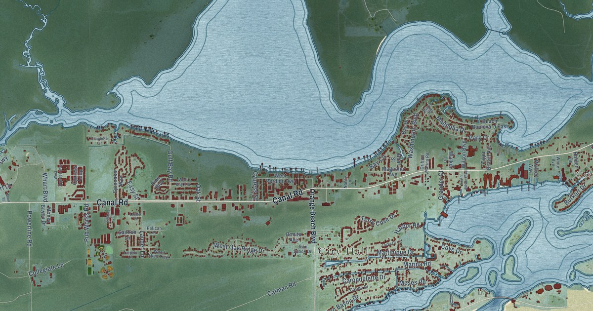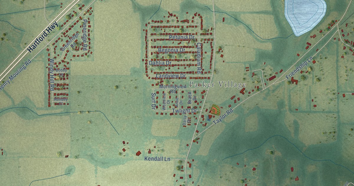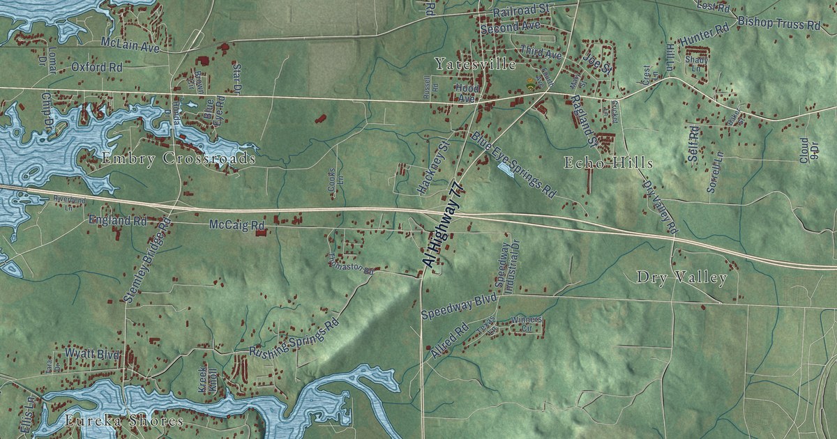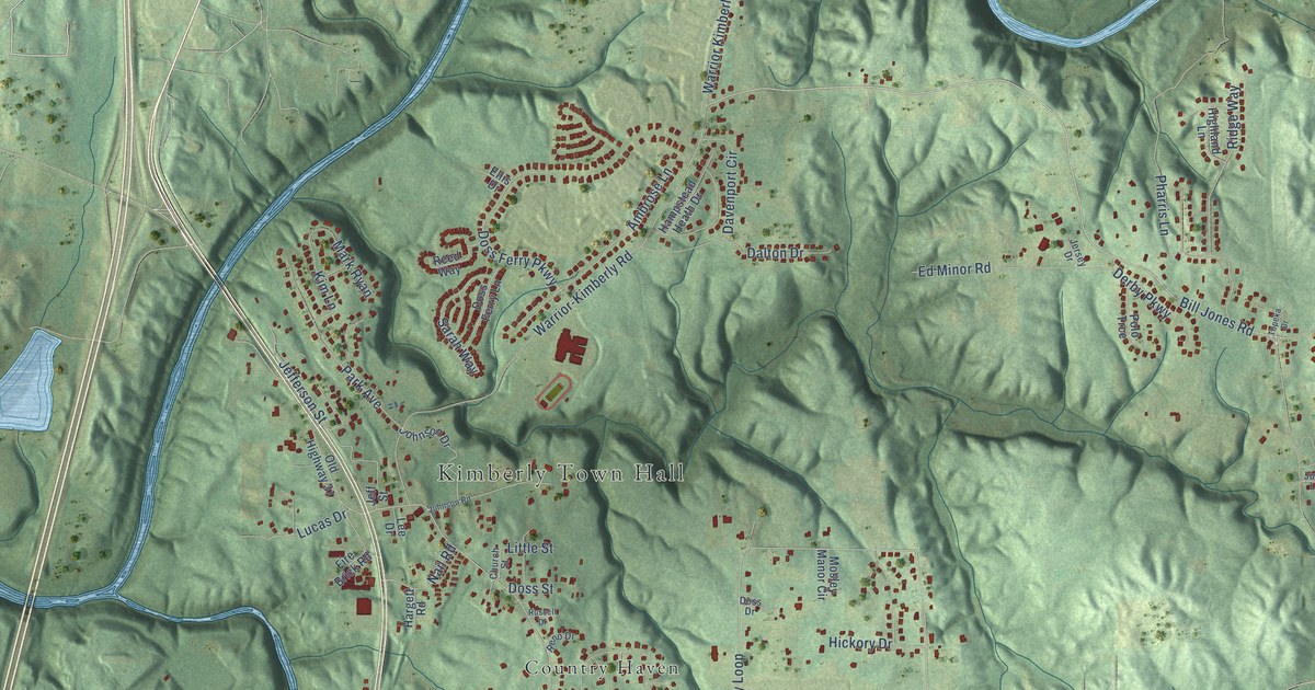
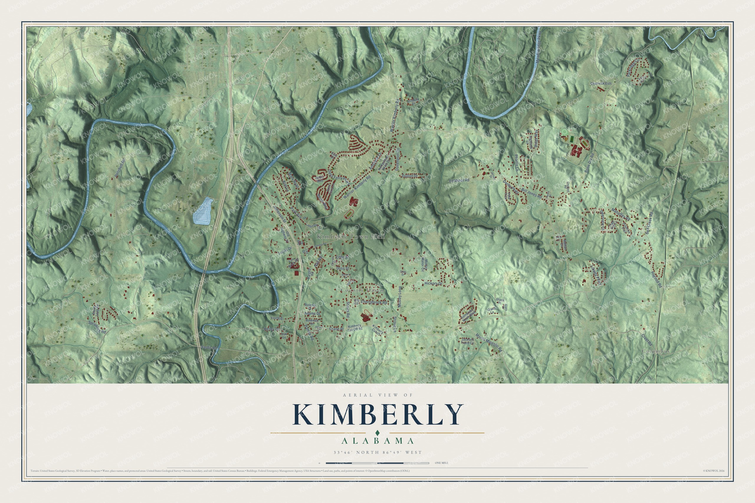
This beautifully detailed map of Kimberly, Alabama was created in 2026 using aerial imagery combined with modern topographical, census, street and landmark data. It's a modern aerial view of Kimberly in Jefferson County, Alabama, that combines modern data with a vintage aesthetic. The roads feature printed names, and if you look closely you can find your exact house accurately shown in its correct location.
Explore an aerial view of Kimberly, Alabama
On this map you'll find Kimberly Town Hall, Columbus, Country Haven, Bone Dry Road, Bill Jones Road, Stouts Road, Hagood Road, Lucas Drive, Mosley Loop, Hamby Road, Pritchett Road, Warrior-Kimberly Road, and more. Each red shape is a building, so zoom in on the preview and look for yours.
Kimberly has a story worth telling. The record at encyclopediaofalabama.org puts it this way: "Another significant employer in Kimberly was the Dixie Firebrick Company, founded in the 1930s; it was later bought out by A."
Kimberly is a city in Jefferson County. The Census Bureau counted 3,841 people here in 2020.
Take a closer look at the Kimberly map
Names on this map
These names are printed on this map.
Places: Kimberly Town Hall, Columbus and Country Haven.
Streets and roads: Bone Dry Road, Bill Jones Road, Stouts Road, Hagood Road, Lucas Drive, Mosley Loop, Hamby Road, Pritchett Road, Warrior-Kimberly Road, Sardis Road, Pharris Lane, Meadowridge Parkway.
More street names, A to Z
Adams Drive, Ambrose Lane, Angel View Lane, Bailey Loop Road, Bowman Drive, Chadwick Ests, Charges Road, Cherrybrook Road, Church Street, Crane Street, Creel Road, Dalton Drive, Davenport Circle, Deerview Lane, Dennis Street, Derby Parkway, Doss Drive, Doss Ferry Lane, Doss Ferry Parkway, Doss Street, Ed Minor Road, Ellis Drive, Fire Brick Road, Glass Drive, Glass Lane, Glass Place, Hampstead Heath Drive, Hargett Road, Hickory Drive, Highland Lane, Jackson Trace Circle, Jefferson Street, Jeff Street, Jersey Drive, Johnson Drive, Johnson Road, Julie Lane, Kelley Drive, Kimberly Cutoff, Kimberly Cut Off Road, Kim Lane, Lee Drive, Liberty Parkway, Little Street, Mahaffey Road, Mark Ryan, Morris Majestic Road, Mosley Manor Circle, Nail Road, Nathan Circle, Oak Lane, Old Highway 31, Parc Lane Circle, Park Avenue, Parkridge Circle, Pine Trail, Polo Trce, Promise Trail, Reed Way, Reno Drive, Rickels Drive, Ridge Way, Russell Drive, Sarah Way, Self Creek Road, Somerset North Boulevard, Spradling Road, Stroup Lane, Suddeth Drive, Topeka Drive, Warrior Kimberly Road, Young Street.
Created by KNOWOL in 2026. The buildings are small red shapes, the roads carry their printed names, and shaded relief shows the shape of the land. The title panel reads "AERIAL VIEW OF KIMBERLY ALABAMA" with 33°46' NORTH 86°49' WEST.
It looks right in a kitchen, an office or a den, and it's a gift for anyone who grew up in Kimberly or moved away. Open the preview and find your street. See sizes and frames for the Kimberly map.