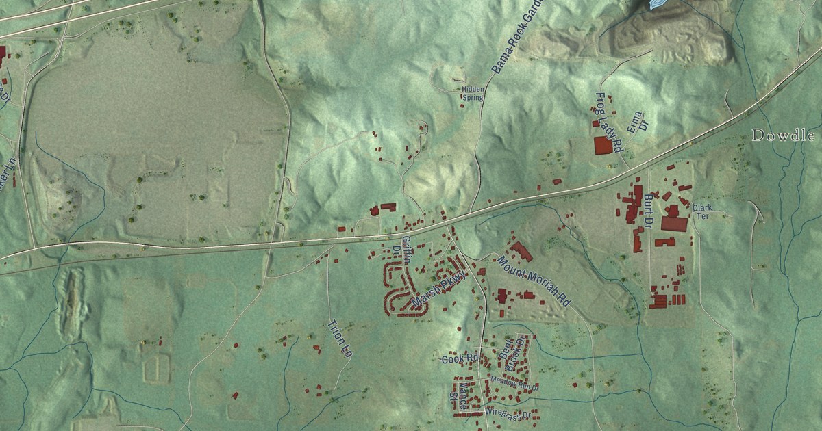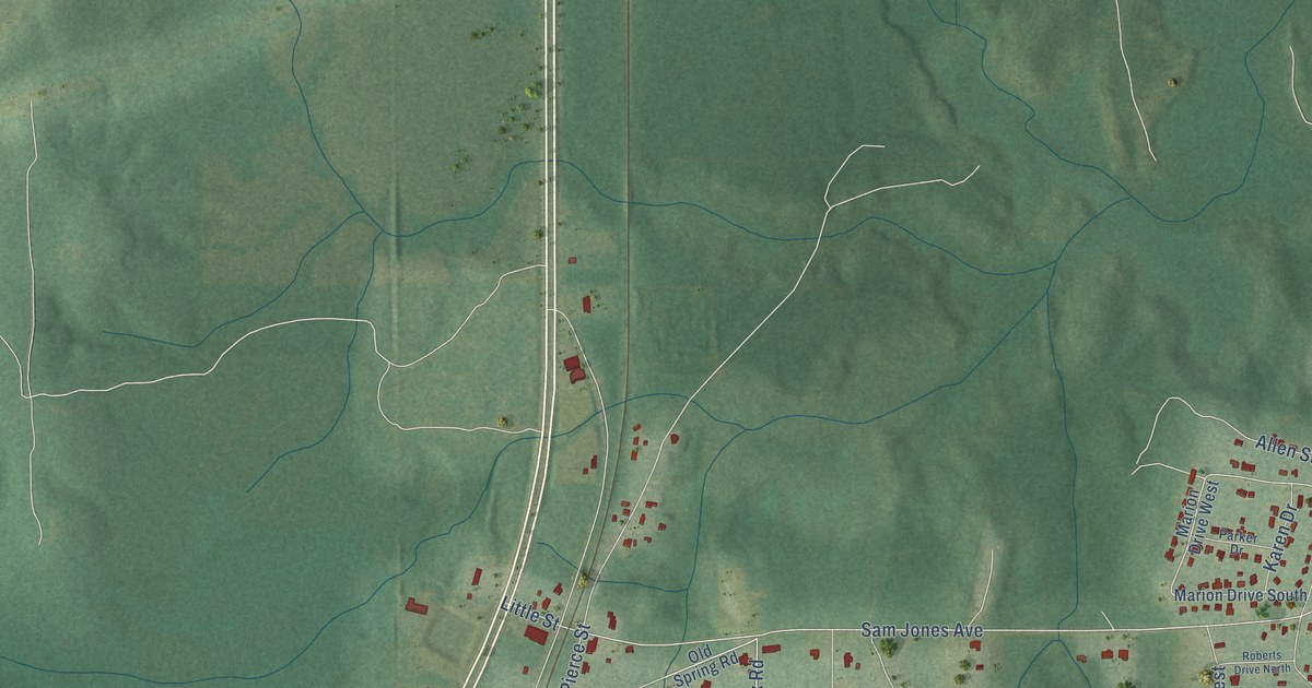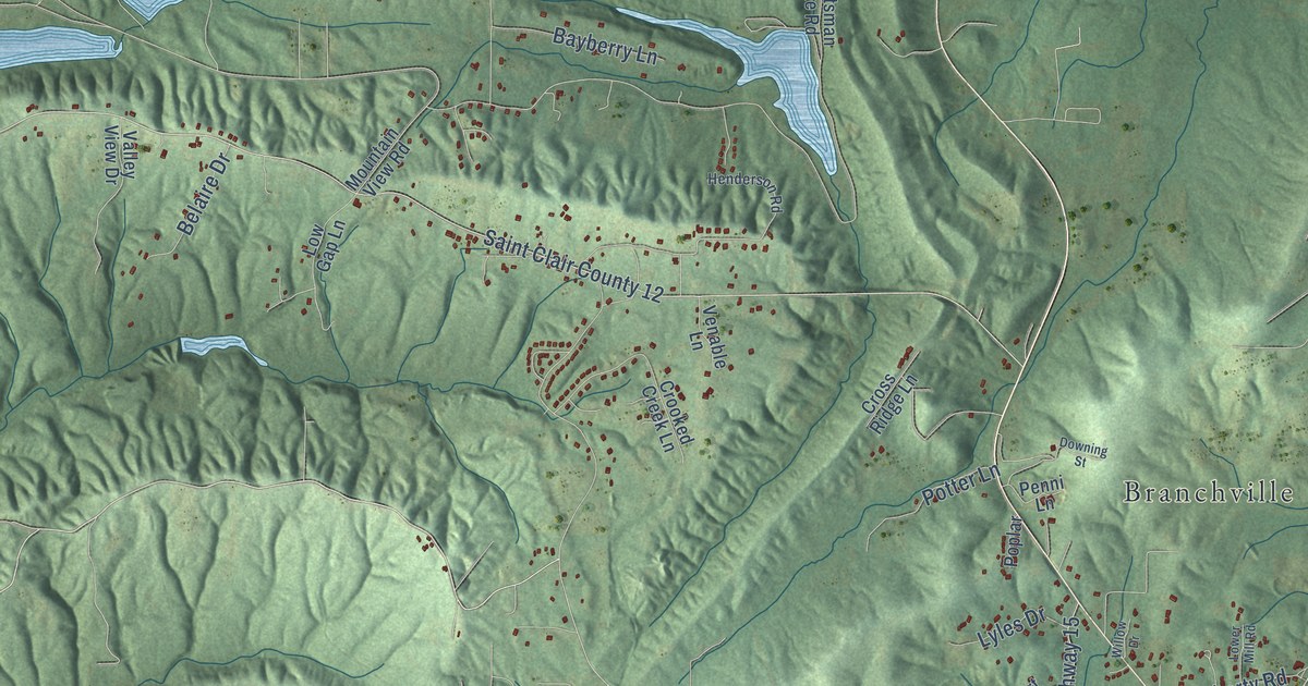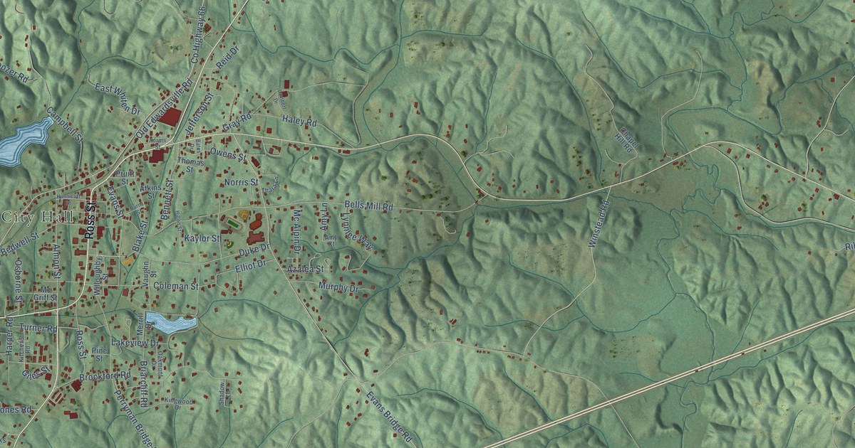
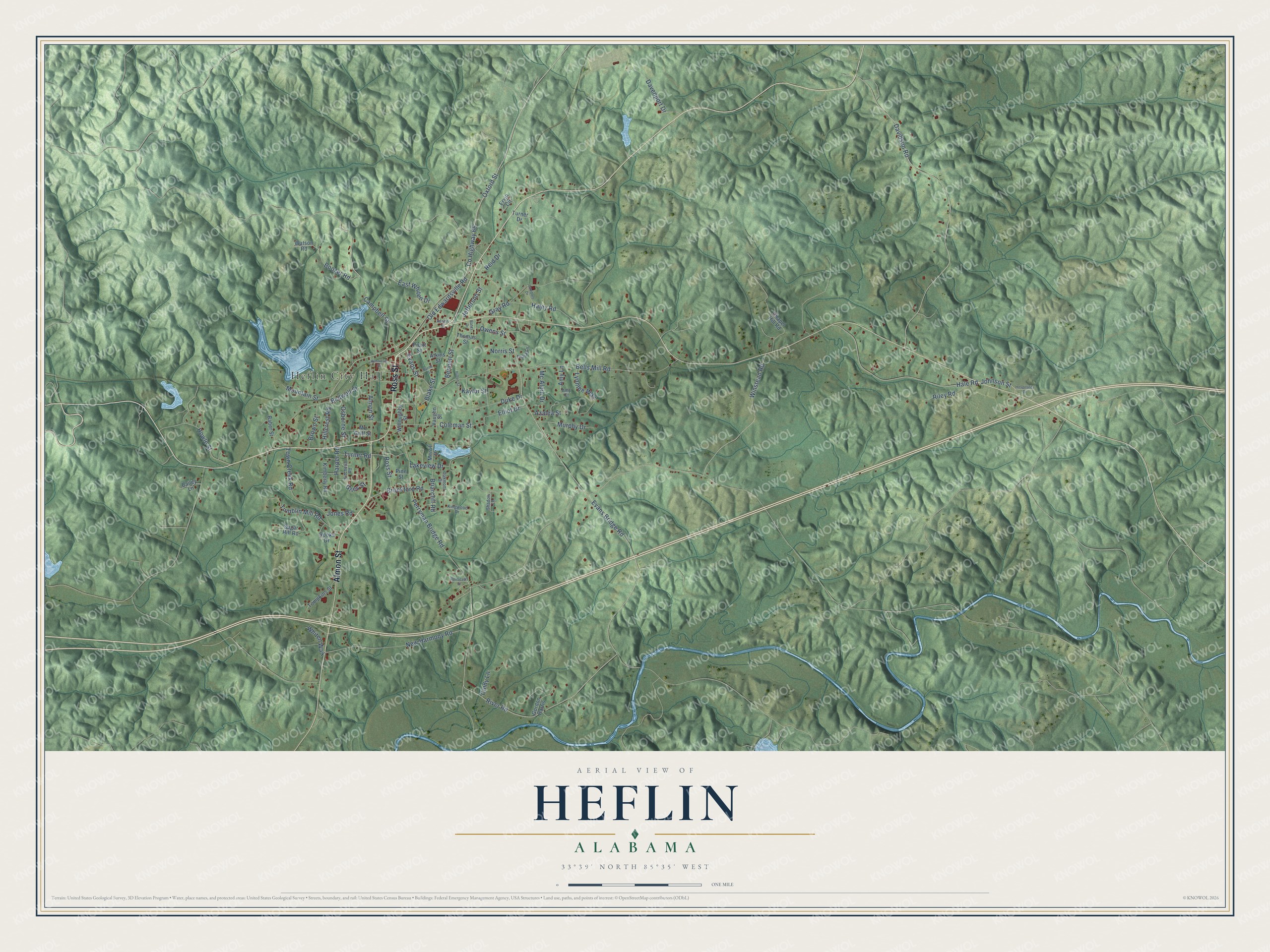
This beautifully detailed map of Heflin, Alabama was created in 2026 using aerial imagery combined with modern topographical, census, street and landmark data. It's a modern aerial view of Heflin in Cleburne County, Alabama, that combines modern data with a vintage aesthetic. The roads feature printed names, and if you look closely you can find your exact house accurately shown in its correct location.
Explore an aerial view of Heflin, Alabama
On this map you'll find Heflin City Hall, Ross Street, Almon Street, Oxford Street, Co Highway 66, Old Edwardsville Road, Evans Bridge Road, Giles Street, River Road, Bells Mill Road, Davidson Road, Perryman Bridge Road, and more. Each red shape is a building, so zoom in on the preview and look for yours.
Heflin has a story worth telling. The record at encyclopediaofalabama.org puts it this way: "Heflin owes its prosperity and circumstances as the county seat to the construction of the Georgia-Pacific Railroad , completed in 1882, which linked the town to Atlanta, Georgia, and Birmingham , Jefferson County ."
Heflin is a city in Cleburne County. The Census Bureau counted 3,431 people here in 2020.
Take a closer look at the Heflin map
Names on this map
These names are printed on this map.
Places: Heflin City Hall.
Streets and roads: Ross Street, Almon Street, Oxford Street, County Highway 66, Old Edwardsville Road, Evans Bridge Road, Giles Street, River Road, Bells Mill Road, Davidson Road, Perryman Bridge Road, Campbell Street.
More street names, A to Z
Adams Street, Amy Court, Amy Lane, Atkins Street, Azalea Street, Baber Street, Bailey Lane, Bates Drive, Bedwell Street, Bennett Street, Blake Street, Boozer Road, Briarcliff Road, Brockford Road, Brown Street, Burns Street, Chapel Hill Road, Cindy Lane, Coleman Street, Davenport Drive, Duke Drive, East Whiten Drive, Elliot Drive, Ervin Circle, Evans Street, Gordon Harris, Gray Road, Hale Road, Haley Road, Harper Road, Hillcrest Road, Hilton Street, Hospitality Drive, Howle Street, Hunnicutt Street, Jefferson Street, Johnson Street, Jones Road, Kaylor Street, Kimberly Road, Kingwood Drive, Kitchens Road, Lakeview Drive, Lambert Drive, Lynnlee Way, Mc Alpin Drive, Mc Griff Street, Merrill Drive, Mountain Street, Murphy Drive, New Harmony Road, Norris Street, Oakmont Drive, Osborne Street, Owens Street, Pine Street, Pruitt Street, Reid Drive, Riley Road, Rooks Drive, Roosevelt Street, Shadow Lane, Sugar Hill Road, Thara Lane, Thomas Street, Tompkins Street, Town Creek Road, Tumblin Mill Road, Turner Drive, Turner Road, Vaughn Street, Watson Road, Whiten Way, Willoughby Street, Winstead Road.
Created by KNOWOL in 2026. The buildings are small red shapes, the roads carry their printed names, and shaded relief shows the shape of the land. The title panel reads "AERIAL VIEW OF HEFLIN ALABAMA" with 33°39' NORTH 85°35' WEST.
It looks right in a kitchen, an office or a den, and it's a gift for anyone who grew up in Heflin or moved away. Open the preview and find your street. See sizes and frames for the Heflin map.