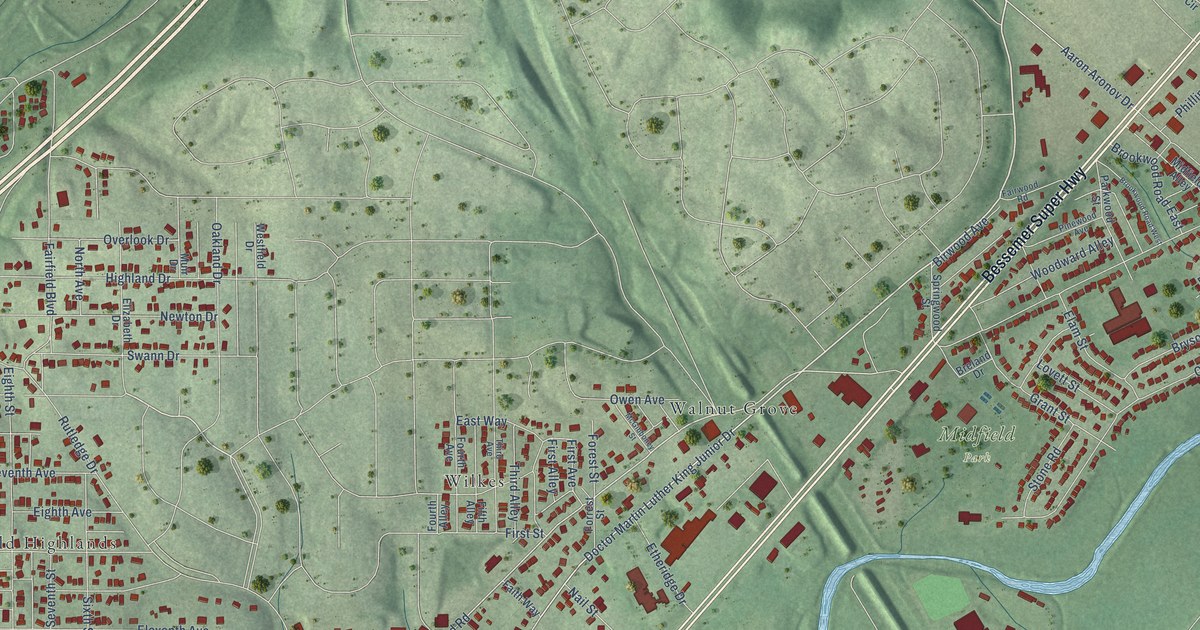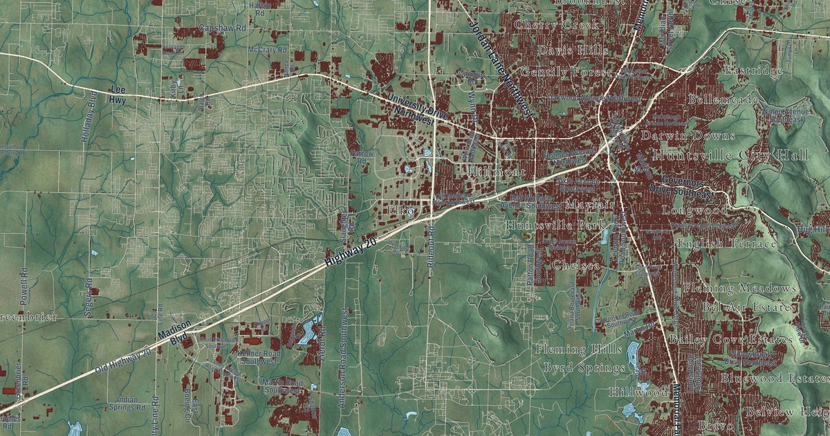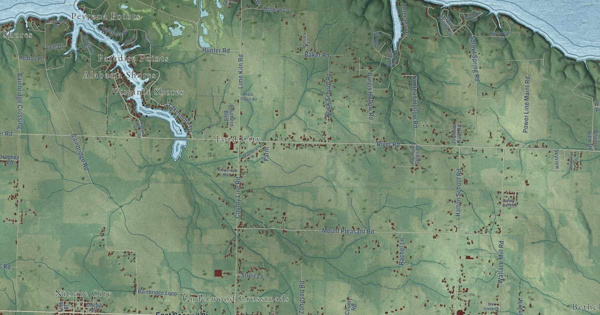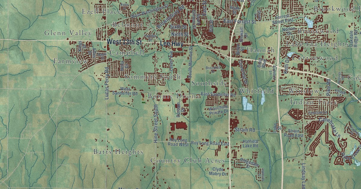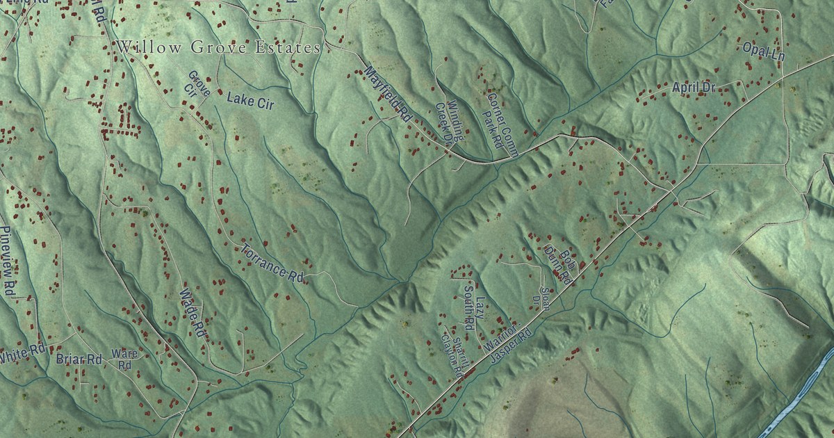
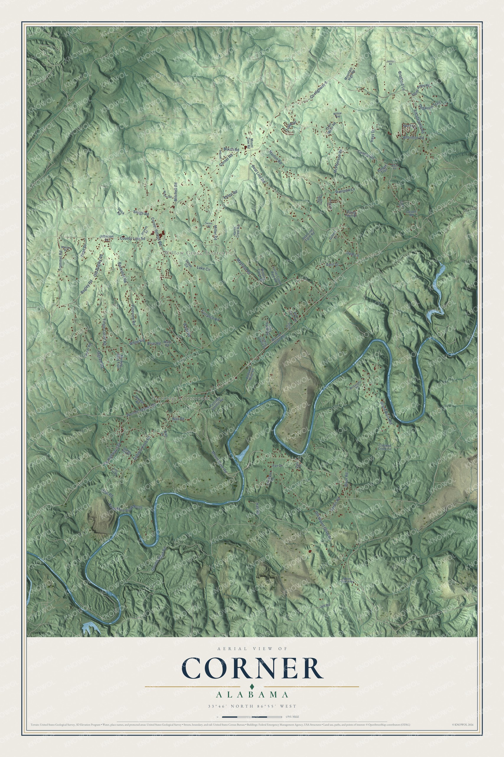
This beautifully detailed map of Corner, Alabama was created in 2026 using aerial imagery combined with modern topographical, census, street and landmark data. It’s a one-of-a-kind view of Corner that combines accurate data with a vintage aesthetic. The map shows every building in its true location, many of the roads carry their names, and the shaded topographic relief shows the shape of the land.
Explore an aerial view of Corner, Alabama
On the map you’ll find Willow Grove Estates and Partridge Crossroads, along with Warrior-Jasper Road, Bagley Road, County Highway 8, County Line Road, Old Bagley Road, Glovers Bend Road, Corner School Road, Beat Line Road, Trammel Road, Bankston Road, and more. If you look closely you can even find your house accurately drawn in its correct location. Zoom in on the preview to look for yours.
Did You Know?
From Internet Archive: "In 1831, by act of the legislature, that part of Wilcox lying west of the middle of range four, in townships eleven and twelve, including the Choctaw Corner settlement, was made a part of Clarke county."
Corner is a community in Jefferson County.
Take a closer look at the Corner map
Names on this map
These names are printed on this map.
Places: Willow Grove Estates and Partridge Crossroads.
Streets and roads: Warrior-Jasper Road, Bagley Road, County Highway 8, County Line Road, Old Bagley Road, Glovers Bend Road, Corner School Road, Beat Line Road, Trammel Road, Bankston Road, Knob Mine Road North, Mount Olive Road.
More street names, A to Z
Allbritton Road, April Drive, Arkadelphia Road, Attaway Road, Beat Line Farm Road, Beltuna Mine Road, Bob Dunn Road, Bradford Lane, Briar Road, Calvert Road, Cedar Lane, Central Road, Corner Comm Park Road, Corner Road, County Highway 134, Crooked Creek Lane, Dogwood Trail, Dusty Trail Road, Dyer Drive, Firethorn Lane, George Key Road, Gilbert Lane, Goblers Knob Road, Grove Circle, Hall Road, Harris Creel Road, Haul Road, Hays Drive, Ingram Road, Jefferson Co, Jett Road, Justice Road, Kemp Road, Lake Circle, Lazy South Road, Marilyn Drive, Mayfield Road, McGaughy Road, McPherson Road, Mikell Road, Miller Road, Mitchell Road, Morning Glory Trail, Morton Road, Mountain High Road, Mount Olive Alley, Mount Zion Road, Nail Lane, Nail Road, Old Mount Olive Road, Opal Lane, Oren Miller Road, Pair Drive, Partridge Landfill Road, Pineview Road, Rainbow Lane, Ranger Trail, Rising Fawn Drive, River Road, Sardis Road, Sharit Dairy Road, Sharritt Clayton Road, Shipp Road, Sleigh Road, Sloan Drive, Sparks Drive, Sunnyside Circle, Swann Road, Tanner Road, Thomas Road, Tingle Cutoff Road, Titan Drive, Torrance Road, Trace Drive, Upick Road, Valley Ridge Road, Wade Road, Ward Creek Road, Ware Road, Warrior - Jasper Road, West Road, White Road, Willow Way, Wilson Road, Winding Creek Drive.
See it on a wall
The Corner map as a framed print. Swipe for more.


This beautifully detailed map of Corner makes an attractive addition to your office, library, or den, and it can even be used to teach children the geography and history of the area. It also makes a great gift for anyone with Corner roots. When you’re done exploring, click here to get your copy of the Corner map.