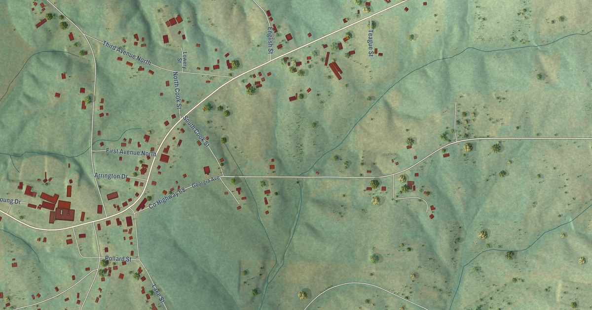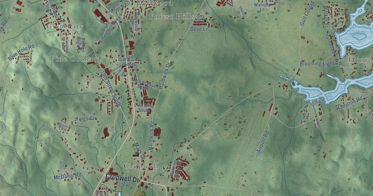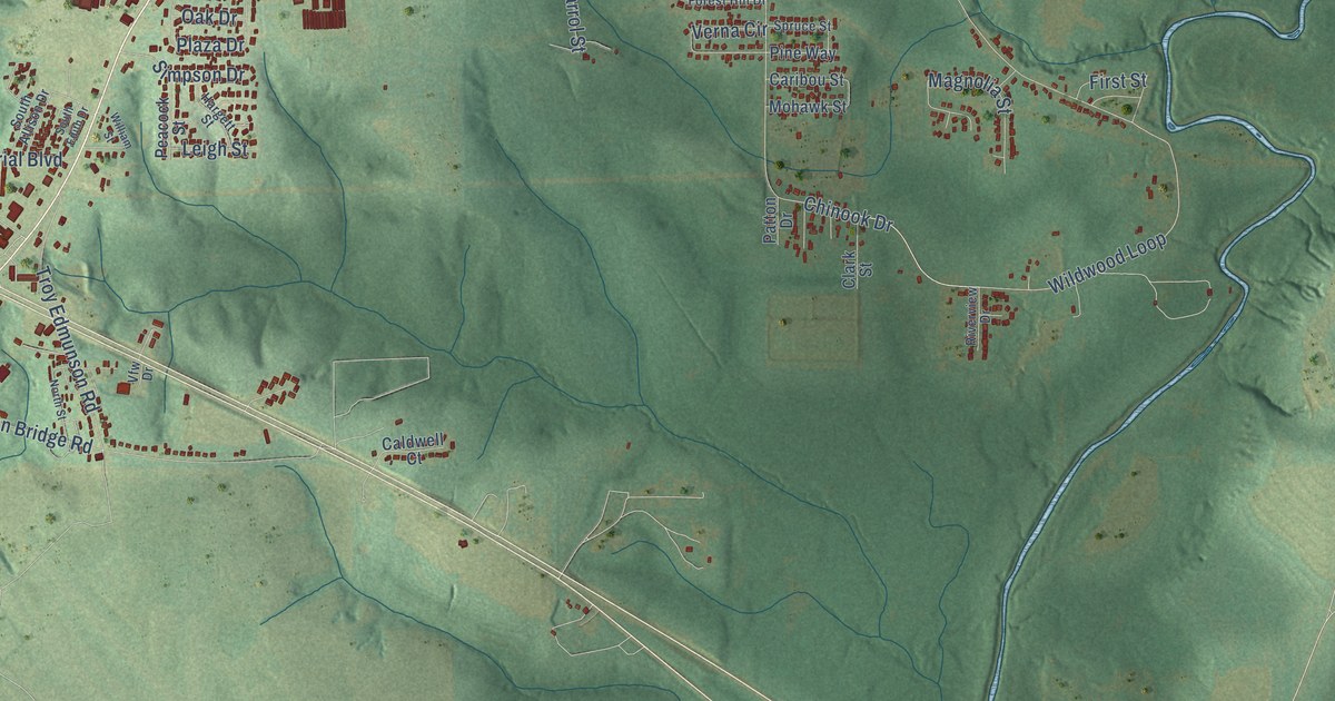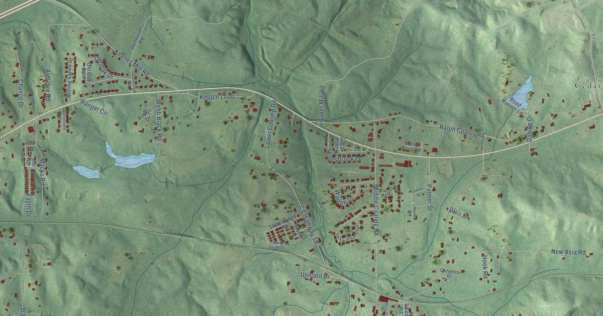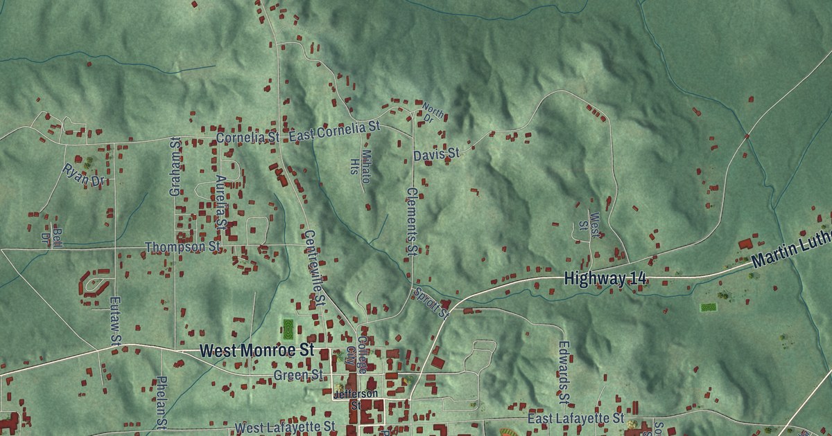
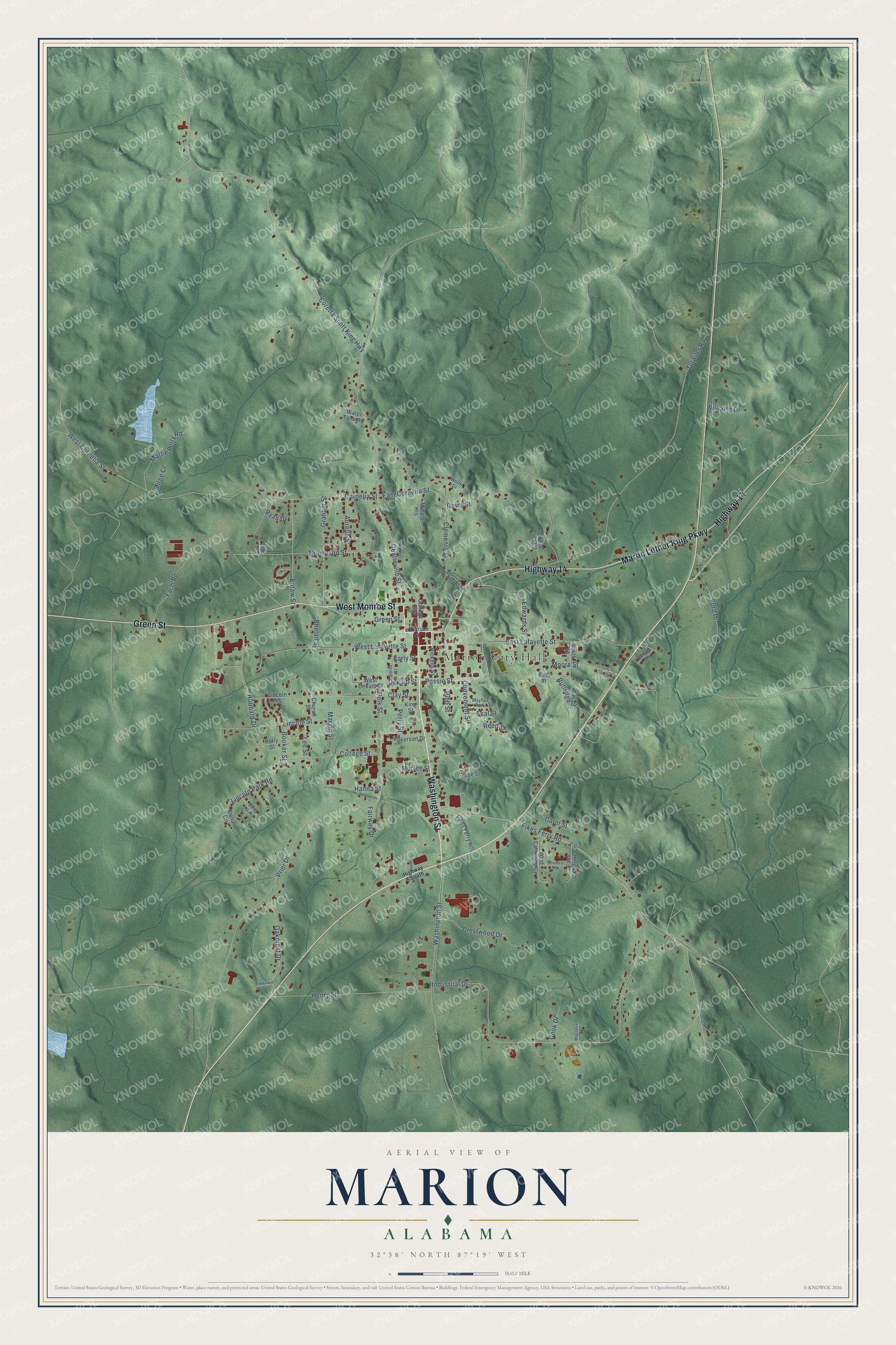
This beautifully detailed map of Marion, Alabama was created in 2026 using aerial imagery combined with modern topographical, census, street and landmark data. It's a modern aerial view of Marion in Perry County, Alabama, that combines modern data with a vintage aesthetic. The roads feature printed names, and if you look closely you can find your exact house accurately shown in its correct location.
Explore an aerial view of Marion, Alabama
On this map you'll find Marion City Hall, Green Street, West Monroe Street, Washington Street, Highway 14, Martin Luther King Parkway, Dekalb Street, Fikes Ferry Road, Possie Street, College Street, Thompson Street, Convenient Street, and more. Each red shape is a building, so zoom in on the preview and look for yours.
Here is a piece of Marion history, in the words of the record. The record at encyclopediaofalabama.org puts it this way: "The city of Marion was first known as Muckle Ridge because Michael McElroy, also known as Michael Muckle, cleared one acre of land and built a cabin in the area in 1817."
Marion is a city in Perry County. The Census Bureau counted 3,176 people here in 2020.
Take a closer look at the Marion map
Names on this map
These names are printed on this map.
Places: Marion City Hall and Mayfair Park.
Streets and roads: Green Street, West Monroe Street, Washington Street, Highway 14, Martin Luther King Parkway, Dekalb Street, Fikes Ferry Road, Possie Street, College Street, Thompson Street, Convenient Street, Lincoln Park Road.
More street names, A to Z
Aurelia Street, Bell Drive, Bibb Street, Booker Street, Cahaba Heights, Carol Street, Centreville Street, Church Street, Clay Street, Clements Street, College City, Cook Drive, Coretta Scott King Highway, Cornelia Street, Crestwood Drive, Davis Street, Delia Circle, Delia Lane, Early Street, East Catherine Circle, East Cornelia Street, East Lafayette Street, East Street, Edwards Street, Eutaw Street, Fairway Drive, Farm Road, Fikes Ferry Acc, Ford Drive, Graham Street, Grove Street, Hanna Street, Henry Street, Highway 5 South, Hubbard Drive, Industrial Drive, Jefferson Street, Kelly Street, King Street, Lakeview Drive, Lee Street, Lincoln Heights, Lincoln Street, Magnolia Drive, Margin Street, Mattie Perry Road, Mihato Heights, Miree Court, Moore Street, Murfee Street, North Drive, Oakcrest Drive, Perry Street, Phelan Street, Pickens Street, Polk Street, Prier Drive, Reed Street, Rutledge Drive, Ryan Drive, Seal Street, Shivers Terrace, Smith Street, South Street, Sprott Street, Tutwiler Road, Water Tank Road, West Catherine Circle, West Cornelia Street, West Dekalb Street, West Lafayette Street, West Street, Wilkerson Drive, Williams Drive.
Created by KNOWOL in 2026. The buildings are small red shapes, the roads carry their printed names, and shaded relief shows the shape of the land. The title panel reads "AERIAL VIEW OF MARION ALABAMA" with 32°38' NORTH 87°19' WEST.
It suits a den, a classroom or a front hall, and it makes a gift for anyone with Marion roots. Open the preview and find the block you know. See sizes and frames for the Marion map.