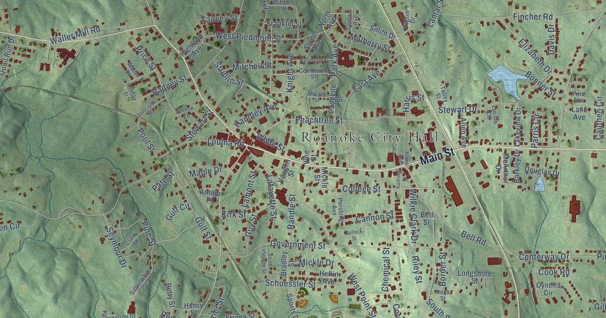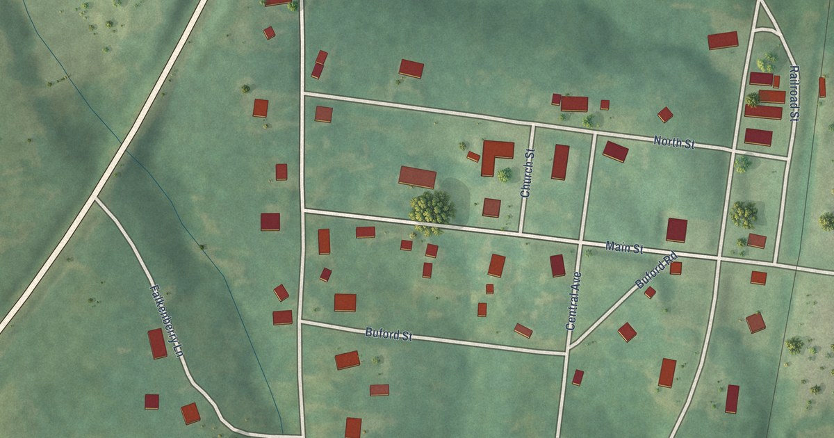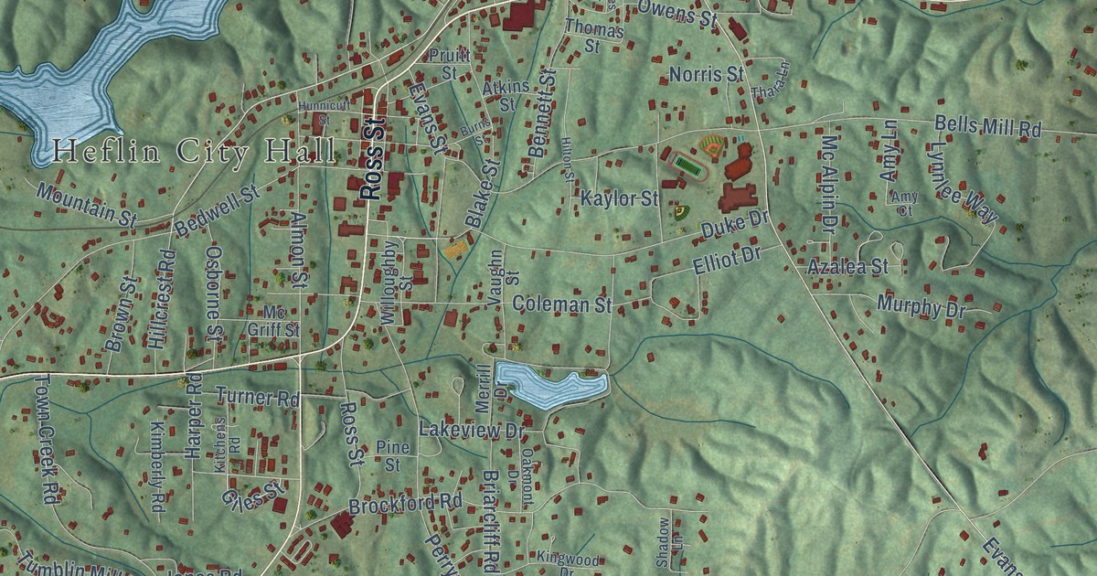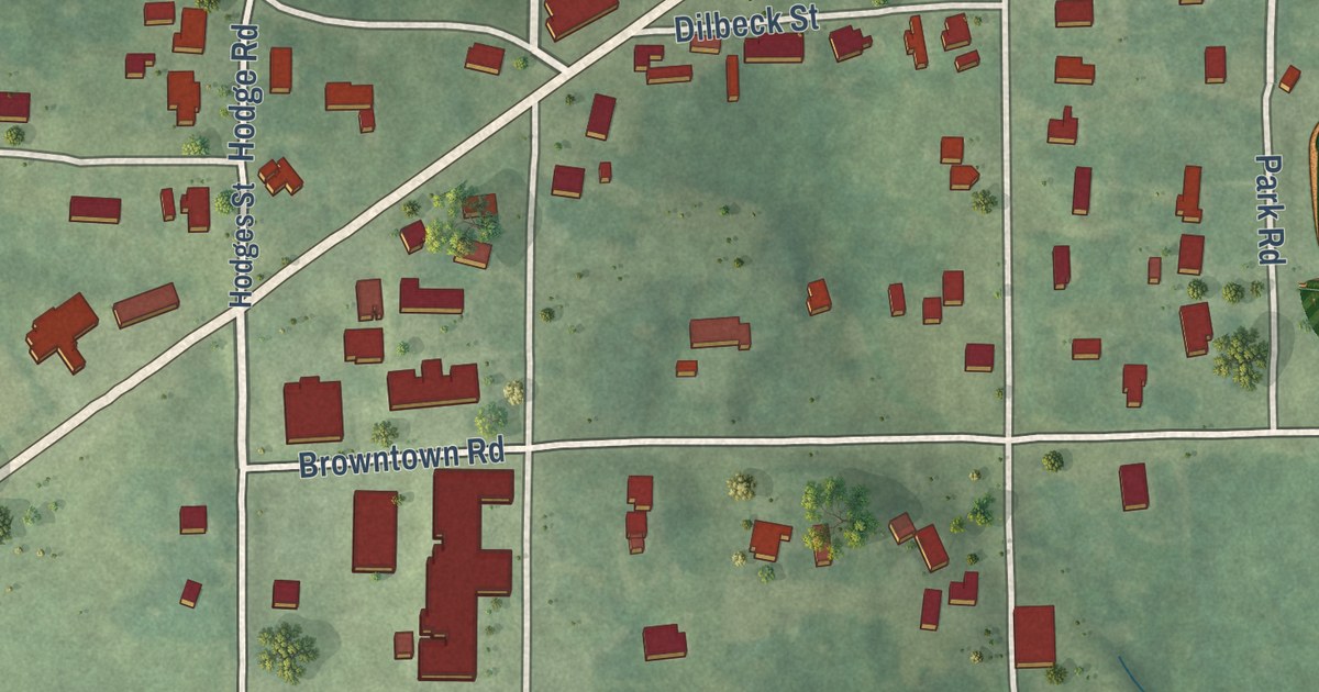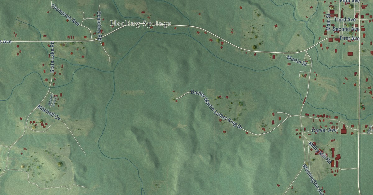
This beautifully detailed map of Millry, Alabama was created in 2026 using aerial imagery combined with modern topographical, census, street and landmark data. It’s a one-of-a-kind view of Millry that combines accurate data with a vintage aesthetic. The map shows every building in its true location, many of the roads carry their names, and the shaded topographic relief shows the shape of the land.
Explore an aerial view of Millry, Alabama
On the map you’ll find Healing Springs, along with Highway 17, Jordan Street, First Avenue, Healing Springs Avenue, Copeland Road, New Hope Road, Crawford Street, Hillside Drive, Pine Street, Sam Wood Road, Saint Stephens Avenue, and more. If you look closely you can even find your house accurately drawn in its correct location. Zoom in on the preview to look for yours.
Did you know this about Millry, Alabama?
From the Congressional Record: "Millry also took its name from the two grist mills and the saw mill located on the creek's fast-flowing waters."
Take a closer look at the Millry map
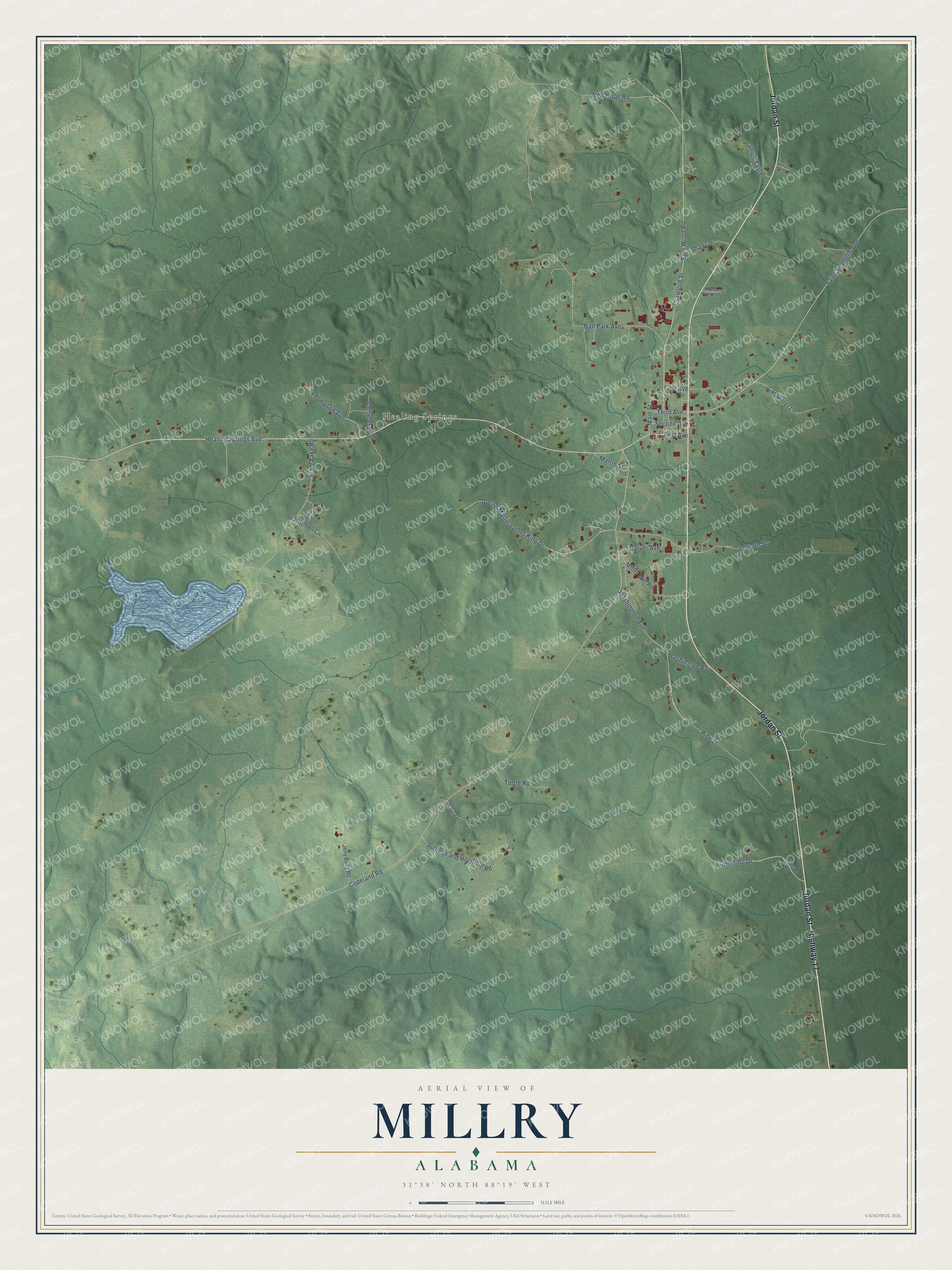
Street and place names on the Millry, Alabama map
These names are printed on the map of Millry, Alabama.
Places: Healing Springs.
Streets and roads: Highway 17, Jordan Street, First Avenue, Healing Springs Avenue, Copeland Road, New Hope Road, Crawford Street, Hillside Drive, Pine Street, Sam Wood Road, Saint Stephens Avenue, Ball Park Avenue.
More street names, A to Z
Carpenter Lane, Carver Avenue, Cemetery Road, Doctor Martin Luther King Drive, Fifth Avenue, Gay Johnson Road, Hillside Road, Jelly Belly Road, Julius Taylor, Juniper Lane, Logoon Street, Main Street, Martin Street, Millry Mill Road, Mitchell Cove Lane, Mitchell Cv, Peace Street, Second Avenue, Shady Drive, State Lake Road, Sullivan and Holyfield Road, Third Avenue, Thompson Avenue, Turtle Road, Washington Avenue, Washington Road, West Haven Drive.
See the Millry, Alabama map on a wall
The Millry map as an 18 x 24 inch print in a black frame.

This beautifully detailed map of Millry makes an attractive addition to your office, library, or den, and it can even be used to teach children the geography and history of the area. It also makes a great gift for anyone who grew up in Millry or moved away. When you’re done exploring, click here to get your copy of the Millry map.