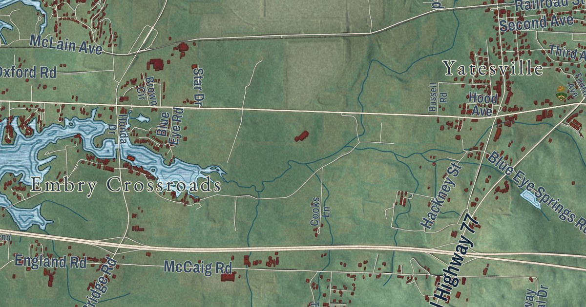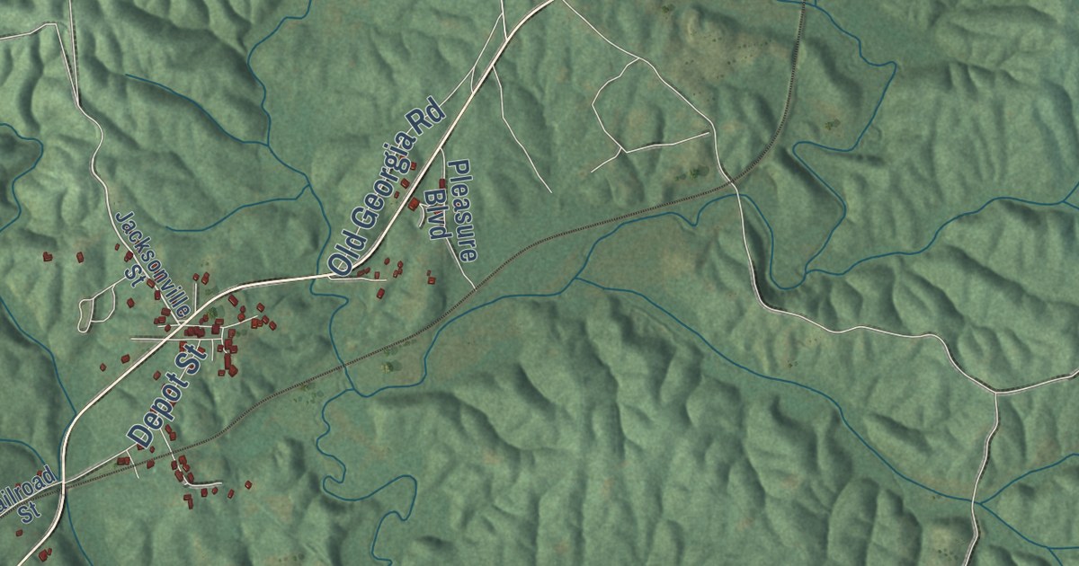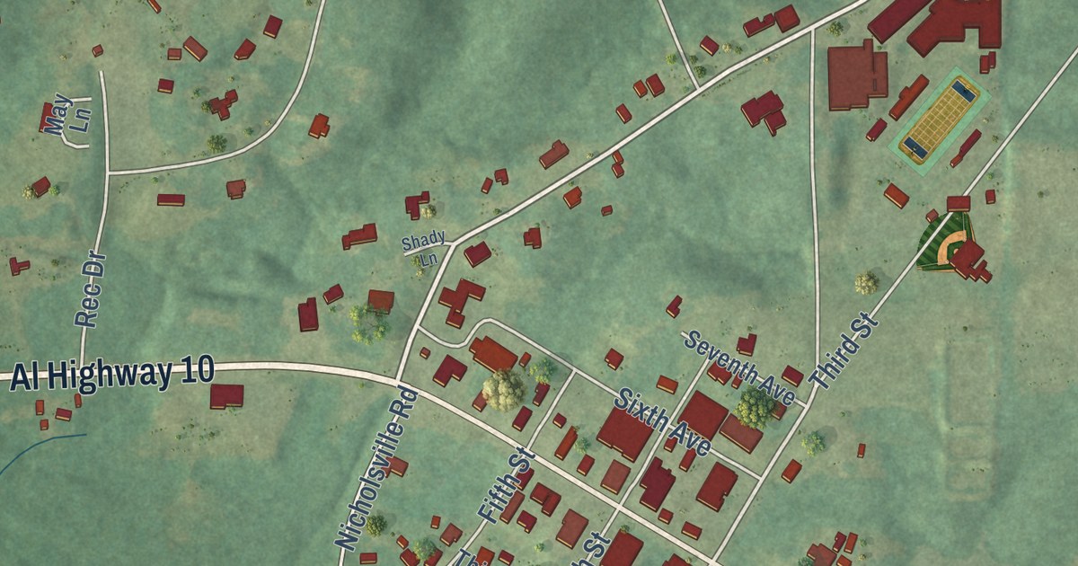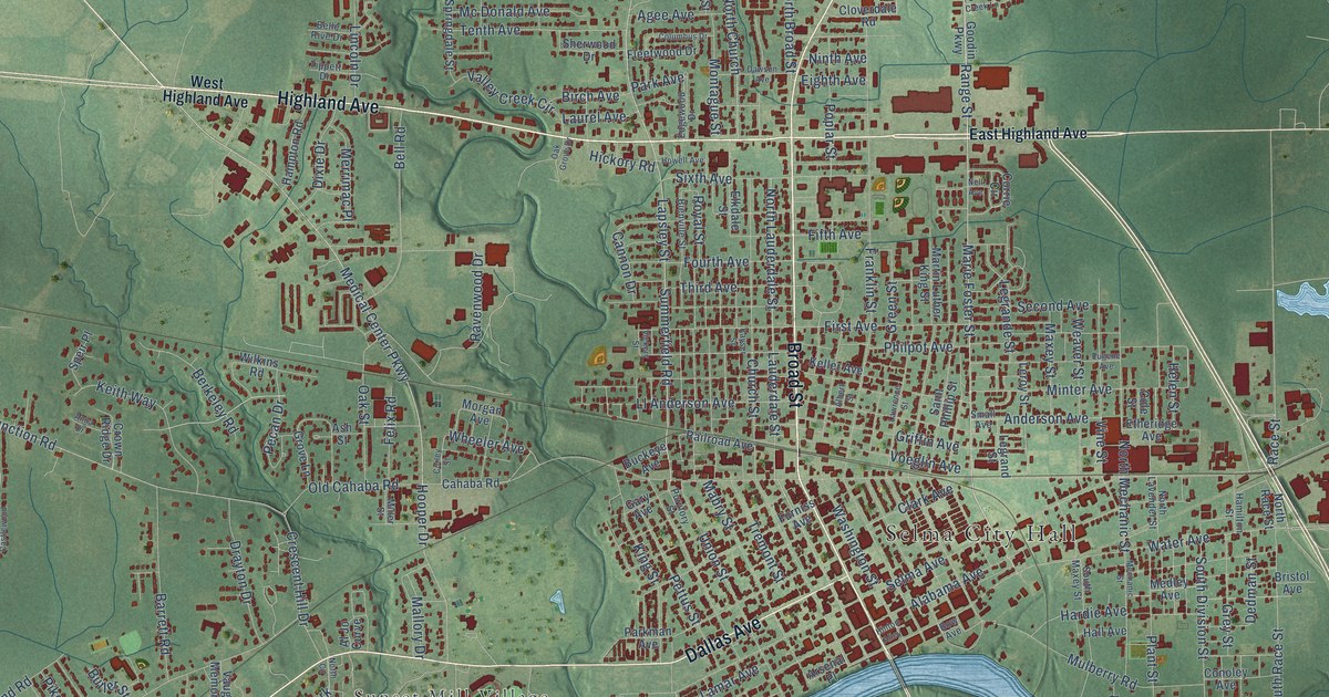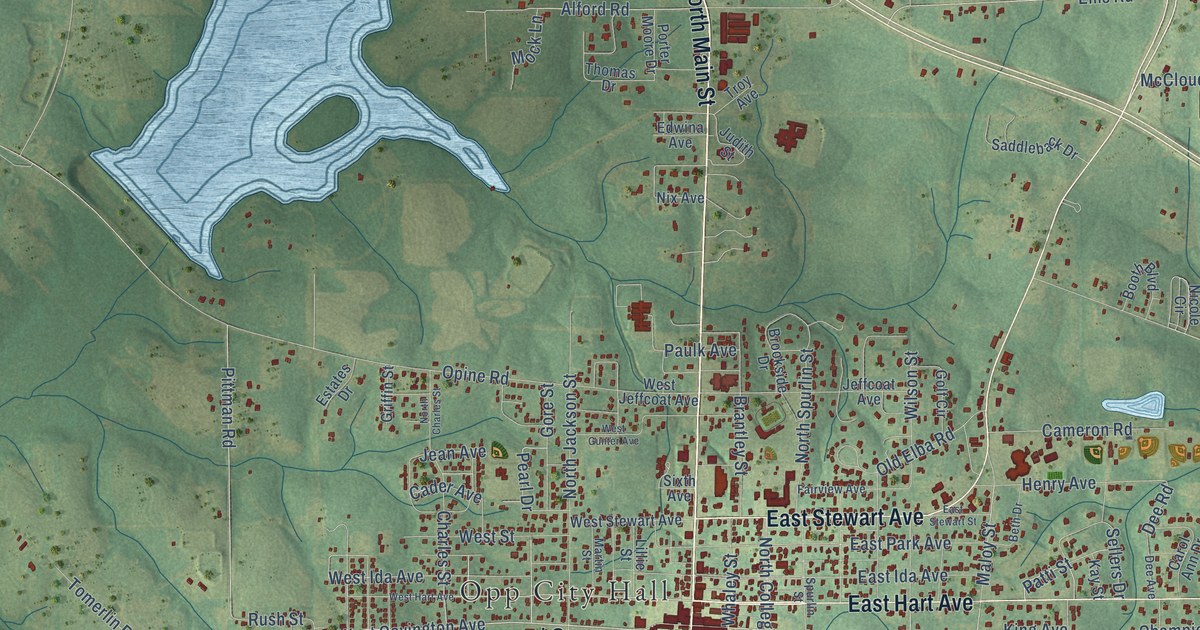
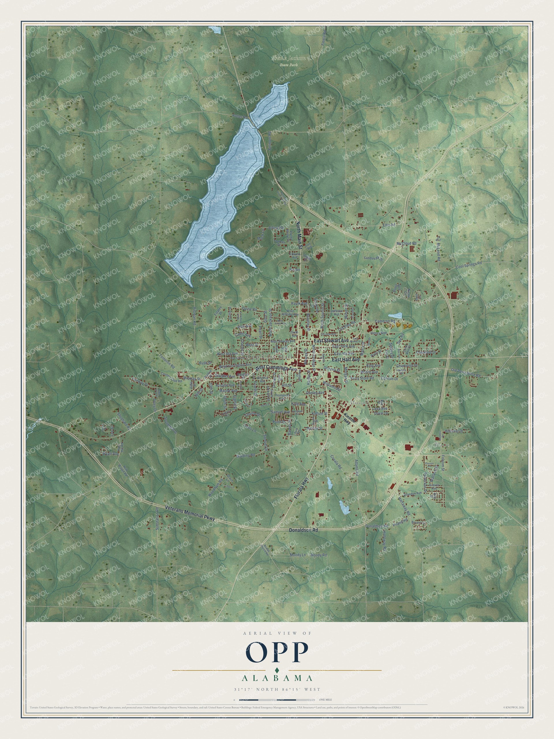
This beautifully detailed map of Opp, Alabama was created in 2026 using aerial imagery combined with modern topographical, census, street and landmark data. It’s a one-of-a-kind view of Opp that combines accurate data with a vintage aesthetic. The map shows every building in its true location, many of the roads carry their names, and the shaded topographic relief shows the shape of the land.
Explore an aerial view of Opp, Alabama
On the map you’ll find Opp City Hall, Blairs, Duvall, and Frank Jackson State Park, along with North Main Street, West Cummings Avenue, East Hart Avenue, East Stewart Avenue, Veterans Memorial Parkway, Florala Highway, Donaldson Road, Perry Store Road, and more. If you look closely you can even find your house accurately drawn in its correct location. Zoom in on the preview to look for yours.
Did you know this piece of Opp, Alabama history?
From Encyclopediaofalabama.org: "In 2017, Opp residents elected local business woman Becky Bracke to the office of mayor, the first woman to hold that office."
Take a closer look at the Opp map
Street and place names on the Opp, Alabama map
These names are printed on the map of Opp, Alabama.
Places: Opp City Hall, Blairs, Duvall and Frank Jackson State Park.
Streets and roads: North Main Street, West Cummings Avenue, East Hart Avenue, East Stewart Avenue, Veterans Memorial Parkway, Florala Highway, Donaldson Road, Perry Store Road, West Covington Avenue, Old Perry Store Road, Maude Avenue, Micolas Street.
More street names, A to Z
13th Street, 16th Street, Adams Road, Alford Road, Barnes Street, Belmont Road, Beth Drive, Beulah Church Road, Bibb Street, Booth Boulevard, Brandon Avenue, Brantley Street, Brookside Drive, Brown Street, Bryant Circle, Cader Avenue, Cameron Road, Cannon Drive, Carol Ann Drive, Champion Drive, Charles Street, Charlie Street, Cole Street, Cool Springs Road, Country Club Road, Covala Road, Dale Lane, Danley Avenue, Davis Lane, Dee Avenue, Dee Road, Dorsey Street, Douglas Avenue, Douglas Street, Dry Street, Duval Drive, Eagle Trace Court, East Ida Avenue, East Park Avenue, East Stewart Street, Edwina Avenue, Eighth Street, Ellis Road, Estates Drive, Fairview Avenue, Fairway Drive, Fleeta Road, Folsom Street, Foreman Circle, Fourth Street, Gavin Street, Geneva Street, Golf Circle, Gore Street, Grace Lane, Graves Avenue, Griffin Street, Hardin Street, Hattaway Road, Henry Avenue, Hillcrest Drive, Hill Street, Holloway Road, Horn Hill Road, Hub Brown Road, Hudson Avenue, Jean Avenue, Jeffcoat Avenue, Judith Street, Kay Street, Kellum Street, King Avenue, Kinston Highway, Kolb Avenue, Lee Street, Lena Avenue, Lillie Street, Lunsford Circle, Maloy Street, Marlin Street, Martin Street, McCloud Road, McLeod Road, Mock Lane, Moody Lane, Moody Road, Moore Avenue, Morgan Street, Moss Lane, Mullins Street, Nicole Circle, Nix Avenue, North Charles Street, North College Street, North Jackson Street, North Main Street Extended, North Spurlin Street, O'Dale Lane, Oakwood Drive, Old Elba Road, Opine Road, Patterson Drive, Patti Street, Paulk Avenue, Pearl Drive, Pearson Avenue, Perdue Street, Piland Road, Pittman Road, Poley Drive, Pond Drive, Porter Moore Drive, Potter Road, Rae Street, Rosalie Avenue, Rush Street, Ryan Avenue, Saddleback Drive, Samuel Avenue, Samuel Drive, Saunders Road, Sellers Drive, Seventh Street, Shephard Road, Sixth Avenue, South Jackson Street, Southland Drive, Spurlin Street, Substation Road, Tenth Street, Terrie Drive, Thomas Drive, Thompson Avenue, Tomerlin Road, Troy Avenue, Virginia Avenue, Walding Road, Wallace Street, West Gunter Avenue, West Hart Avenue, West Ida Avenue, West Jeffcoat Avenue, West Stewart Avenue, West Street, Whaley Street, Williams Road, Wilson Street, Woodham Circle, Woodham Road, Woodham Street, Wyatt Avenue.
See the Opp, Alabama map on a wall
The Opp map as an 18 x 24 inch print in a black frame.

This beautifully detailed map of Opp makes an attractive addition to your office, library, or den, and it can even be used to teach children the geography and history of the area. It also makes a great gift for anyone with Opp roots. When you’re done exploring, click here to get your copy of the Opp map.