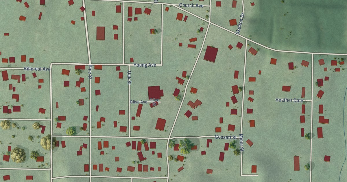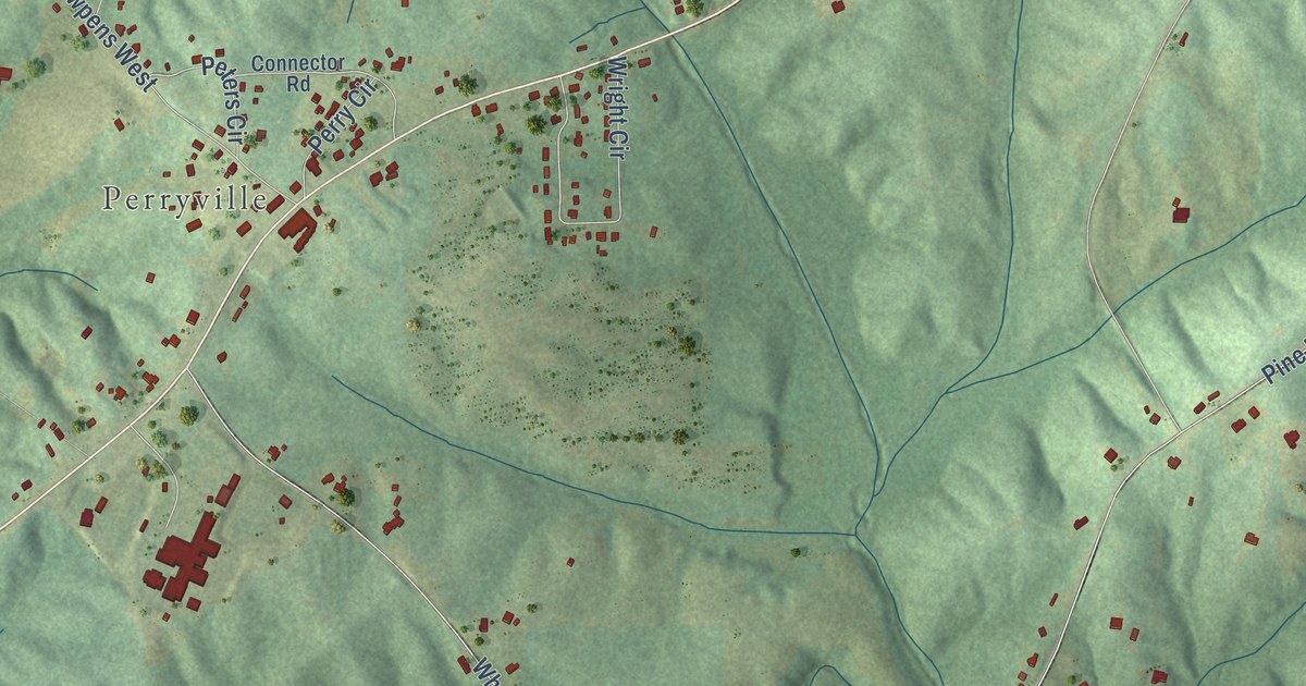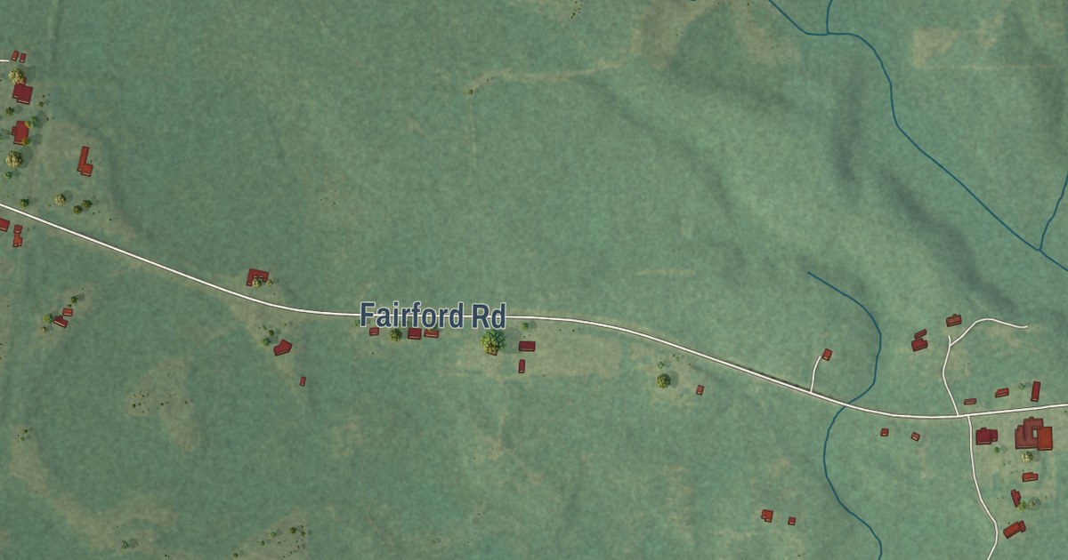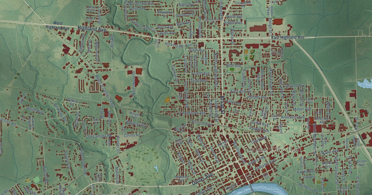
This beautifully detailed map of Selma, Alabama was created in 2026 using aerial imagery combined with modern topographical, census, street and landmark data. It’s a one-of-a-kind view of Selma that combines accurate data with a vintage aesthetic. The map shows every building in its true location, many of the roads carry their names, and the shaded topographic relief shows the shape of the land.
Explore an aerial view of Selma, Alabama
On the map you’ll find Selma City Hall and Sunset Mill Village, along with Highland Avenue, Broad Street, Citizens Parkway, West Dallas Avenue, Dallas Avenue, Land Line Road, Marie Foster Street, Medical Center Parkway, Earl Goodwin Parkway, Range Street, and more. If you look closely you can even find your house accurately drawn in its correct location. Zoom in on the preview to look for yours.
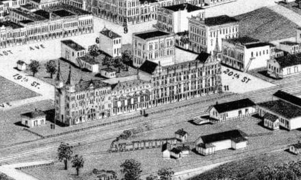
Did you know this piece of Selma, Alabama history?
From the Encyclopedia of Alabama: "Selma was first recorded on a map in 1732 as Ecor Bienville, in honor of the then-French provincial governor Jean-Baptiste Le Moyne de Bienville."
Take a closer look at the Selma map
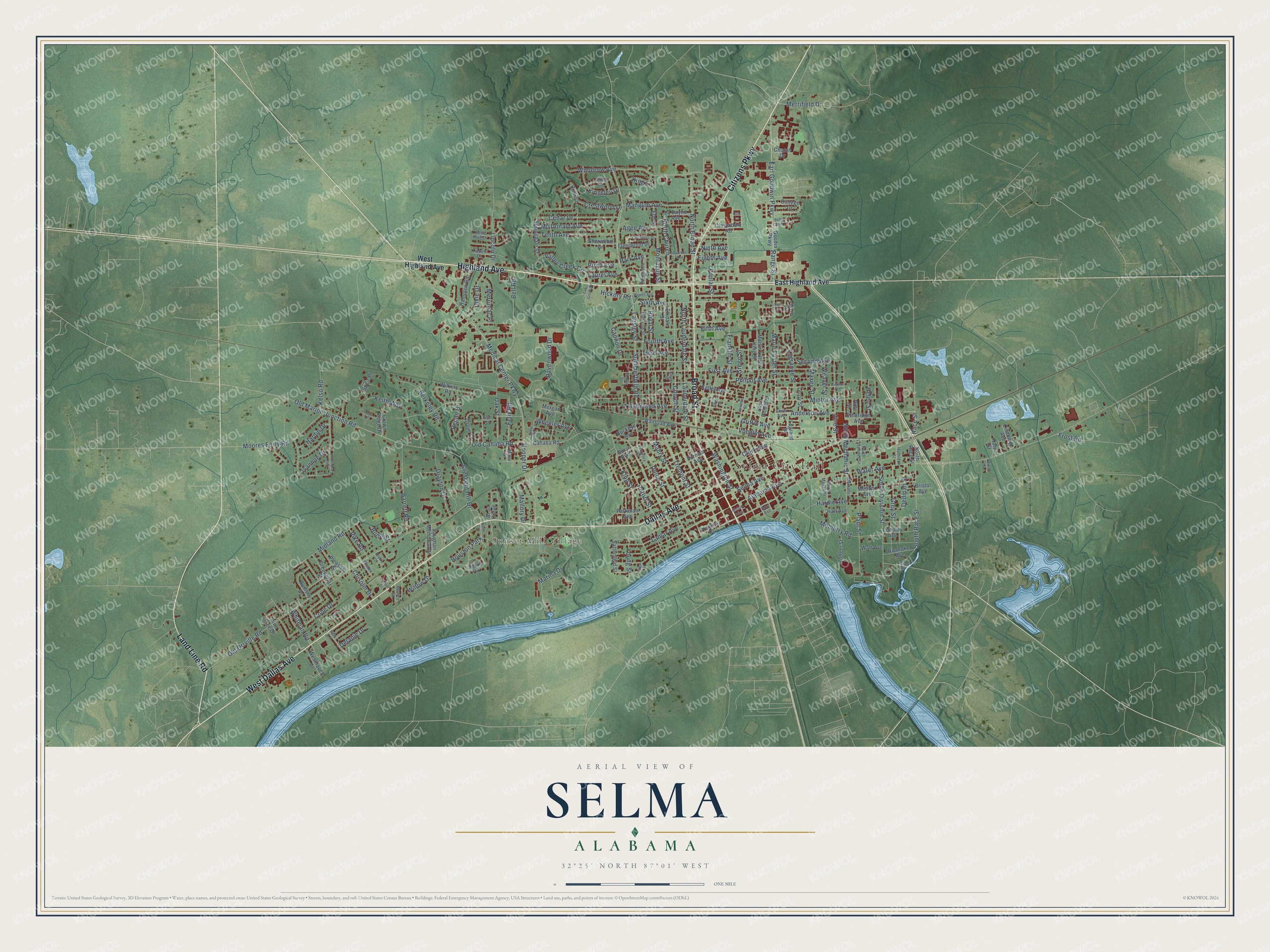
Street and place names on the Selma, Alabama map
These names are printed on the map of Selma, Alabama.
Places: Selma City Hall, Sunset Mill Village and Houston Park.
Streets and roads: Highland Avenue, Broad Street, Citizens Parkway, West Dallas Avenue, Dallas Avenue, Land Line Road, Marie Foster Street, Medical Center Parkway, Earl Goodwin Parkway, Range Street, South Race Street, Old Marion Junction Road.
More street names, A to Z
Agee Avenue, Alabama Avenue, Albert Street, Al Jo Curve, Anderson Avenue, Anna Drive, Arsenal Place, Ash Street, Barrett Road, Beech Creek Lane, Belle Rive Drive, Bell Road, Berkeley Road, Bienville Street, Birch Avenue, Bow Avenue, Boykin Circle, Bristol Avenue, Buckeye Avenue, Butler Street, Cahaba Road, Cannon Drive, Cedar Drive, Chisolm Drive, Church Drive, Church Street, Clark Avenue, Cloverdale Road, Cole Street, College Drive, Columbus Drive, Cone Drive, Conoley Avenue, Cooper Drive, Corley Street, Corrie Circle, Crescent Hill Drive, Crestwood Drive, Crown Ridge Drive, Dale Lane, Dawson Avenue, Dedman Street, Delanie Drive, Dixie Drive, Drayton Drive, East Castlewood, East Highland Avenue, Edgewood Drive, Eighth Avenue, Elkdale Street, Elm Street, Etheridge Avenue, Eugene Avenue, Felix Road, Fifth Avenue, First Avenue, Fleetwood Drive, Fourth Avenue, Franklin Street, Frost Road, Furniss Avenue, Gary Avenue, Goodin Parkway, Greenbriar Street, Green Street, Grey Street, Griffin Avenue, Grove Lane, Hall Avenue, Hamilton Street, Hampton Road, Hardie Avenue, Hardin Drive, Helen Street, Hickory Road, Hinton Alley, Hooper Drive, Howell Avenue, Ivanhoe Drive, Karen Street, Kayser Street, Keith Way, Keller Avenue, Kelso Road, King Lane, Kingsley Drive, King Street, La Dayne Avenue, Lamar Avenue, Lapsley Street, Lauderdale Street, Laurel Avenue, Lawrence Street, Legrande Street, Legrand Street, Leroy Street, Lincoln Drive, Lindberg Avenue, Ll Anderson Avenue, Lori Lane, Mabry Street, Mallory Drive, Mangum Avenue, Marina Drive, Martin Luther King Street, Maxey Street, Mc Donald Avenue, Mechanic Street, Medley Avenue, Merrifield Drive, Merrimac Circle, Merrimac Place, Midland Road, Miller Street, Minter Avenue, Montague Street, Moores Ferry Road, Morgan Avenue, Mulberry Road, Nell Avenue, Ninth Avenue, North Broad Street, North Church, North Circle, North Lauderdale Street, North Lavender Street, North Mechanic Street, North Race Street, Oak Grove Drive, Oak Street, Old Cahaba Road, Old Orrville Road, Park Avenue, Park Lane, Parkman Avenue, Pecan Drive, Pettus Street, Philpot Avenue, Pike Road, Pine Tree Drive, Plant Street, Pleasant Street, Poplar Street, Puryfory Street, Race Street, Railroad Avenue, Ramsey Drive, Ravenwood Drive, River Road, Roanoke Avenue, Rodger Street, Royal Street, Ruth Street, Saint Phillip Street, Satterfield Street, Second Avenue, Selma Avenue, Sherwood Drive, Sixth Avenue, Small Avenue, South Circle, South Division Street, South Maxey Street, Speir Place, Springdale Street, Stiles Road, Summerfield Road, Tenth Avenue, Third Avenue, Tippett Drive, Tremont Street, Union Street, Valley Creek Circle, Vaughan Memorial Drive, Vickery Street, View Street, Vine Street, Voeglin Avenue, Wasden Place, Washington Street, Water Avenue, Watt Avenue, Weaver Street, Westhaven Drive, West Highland Avenue, Wheeler Avenue, Whitman Road, Wilkins Road, Willow Drive, Wilson Street, Woodrow Avenue, Young Street.
See the Selma, Alabama map on a wall
The Selma map as an 18 x 24 inch print in a black frame.

This beautifully detailed map of Selma makes an attractive addition to your office, library, or den, and it can even be used to teach children the geography and history of the area. It also makes a great gift for anyone who grew up in Selma or moved away. When you’re done exploring, click here to get your copy of the Selma map.