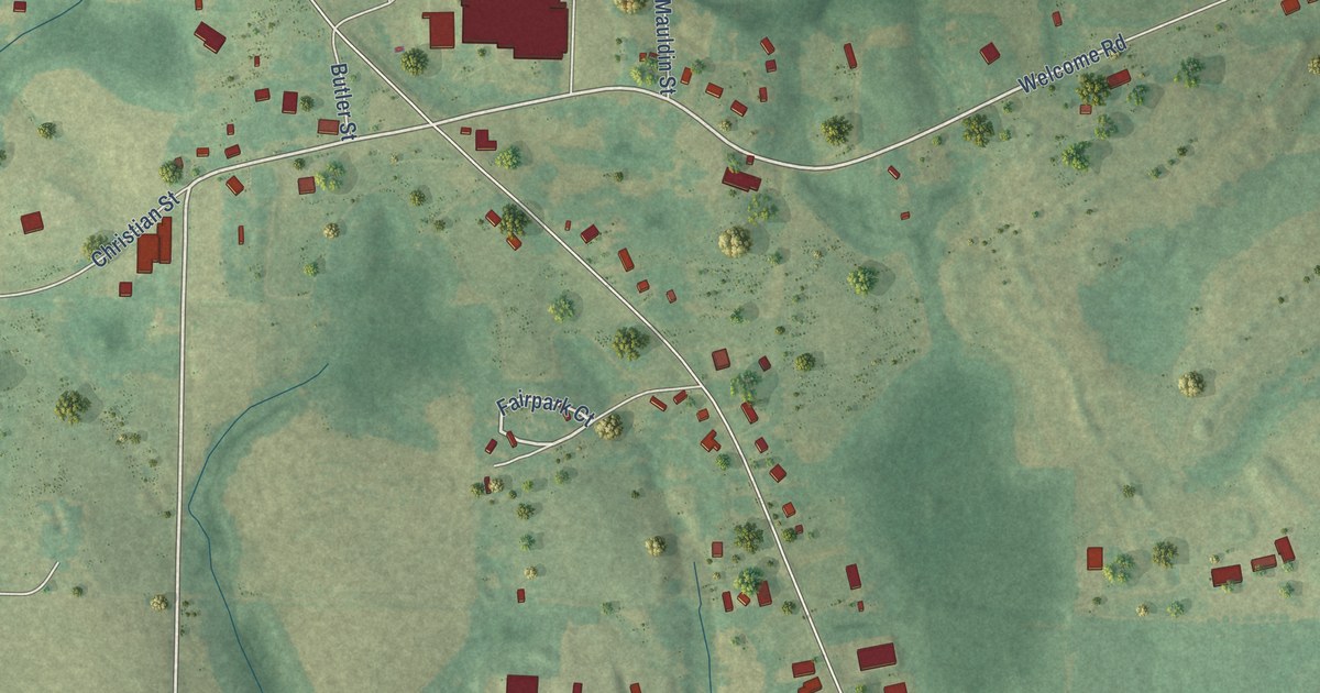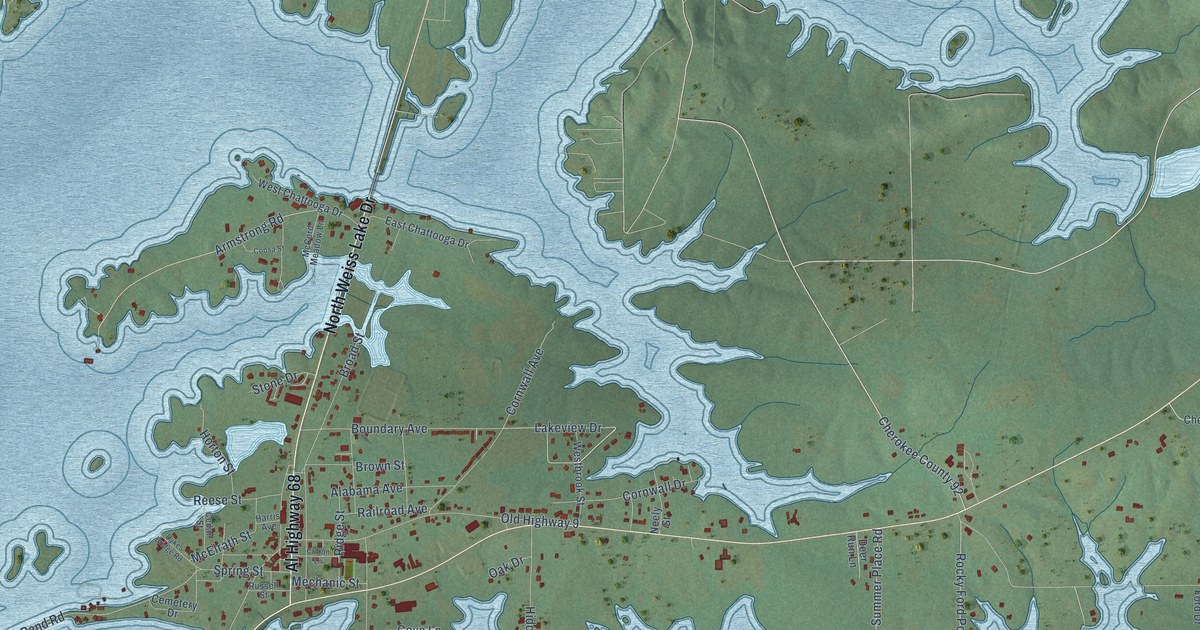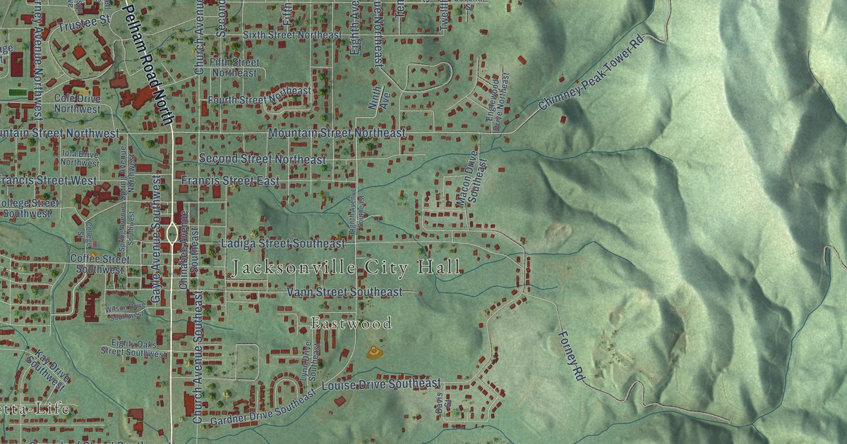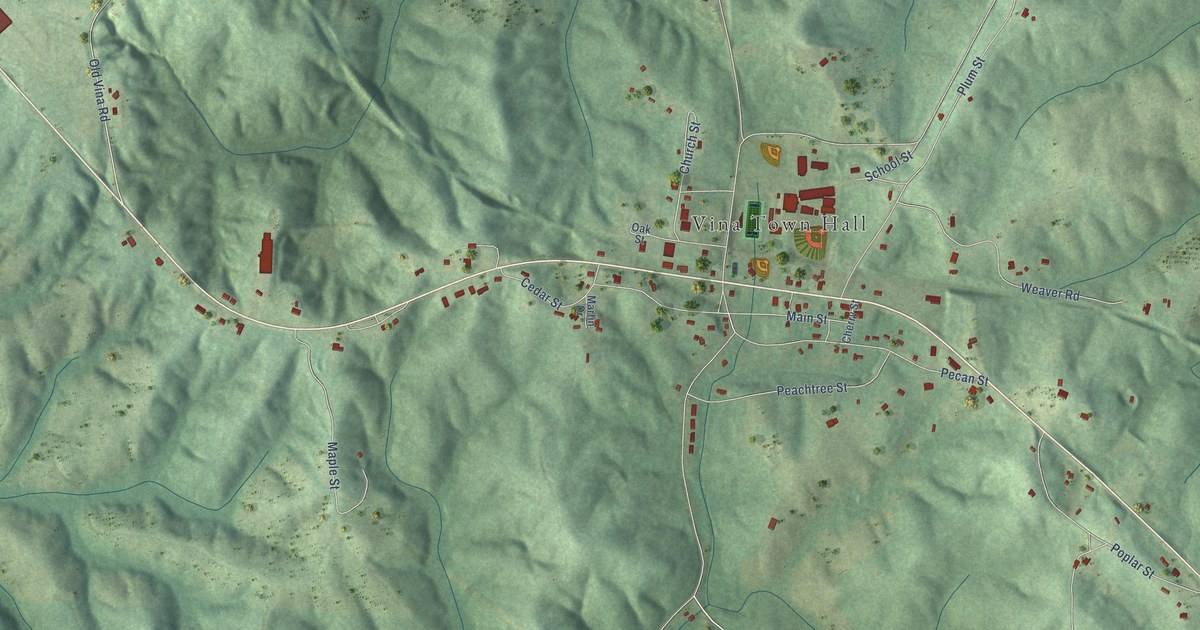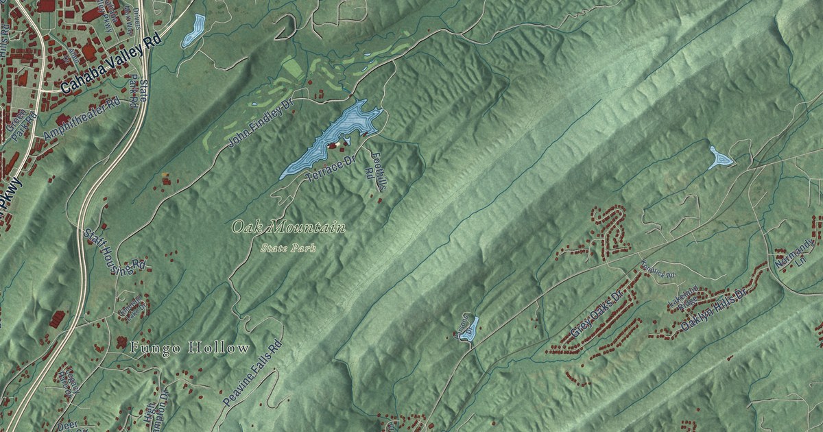
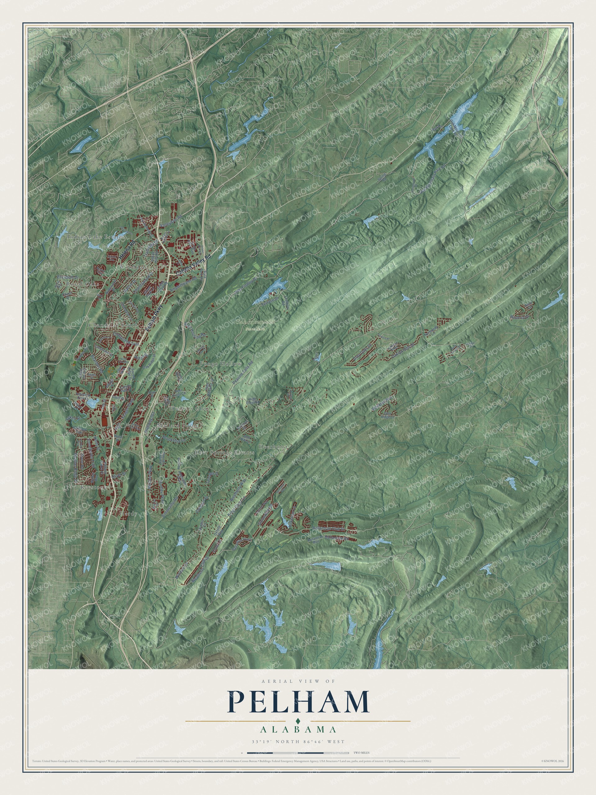
This beautifully detailed map of Pelham, Alabama was created in 2026 using aerial imagery combined with modern topographical, census, street and landmark data. It's a modern aerial view of Pelham in Shelby County, Alabama, that combines modern data with a vintage aesthetic. The roads feature printed names, and if you look closely you can find your exact house accurately shown in its correct location.
Explore an aerial view of Pelham, Alabama
On this map you'll find Oak Mountain State Park, Chandalar South, Deer Springs Estates, Deerhurst, Fungo Hollow, Hardy, Hunters Glen, Indian Lake Estates, Keystone, Mallard Point, Royal Oaks, Wooddale, and more. Each red shape is a building, so zoom in on the preview and look for yours.
Here is a piece of Pelham history, in the words of the record. The record at encyclopediaofalabama.org puts it this way: "Peavine Falls The first settlement located at the present site of Pelham, established in 1820, was named Shelbyville; it served as the location of the first county courthouse until Columbiana was named county seat in 1826."
Pelham is a city in Shelby County. The Census Bureau counted 24,318 people here in 2020.
Take a closer look at the Pelham map
Names on this map
These names are printed on this map.
Places: Oak Mountain State Park, Chandalar South, Deer Springs Estates, Deerhurst, Fungo Hollow, Hardy, Hunters Glen, Indian Lake Estates, Keystone, Mallard Point, Royal Oaks and Wooddale.
Streets and roads: Pelham Parkway, Cahaba Valley Road, Helena Road, Ballantrae Club Drive, Weatherly Club Drive, Valleydale Road, Stoneykirk Road, Oak Mountain Park Road, Peavine Falls Road, John Findley Drive, Kings Crest Lane, Terrace Drive.
More street names, A to Z
Adams Street, Allen Drive, Amphitheater Road, Applegate Parkway, Astor Circle, Ballantrae Muir, Ballantrae Parkway, Ballantrae Road, Bearden Road, Beaver Trail, Belle Vista Mhp, Bent Creek Drive, Bent Rail Lane, Braxton Way, Brookshire Lane, Cahaba Valley Parkway, Caliston Way, Campground Road, Canyon Park Drive, Cedar Cove Drive, Chandalar Lane, Chandaway Drive, Chandawood Drive, Chase Drive, Cheshire Lane, Court Place, Court Way, Cove Lane, Creekview Drive, Crosscreek Trail, Dalton Drive, Deer Crest Circle, Deer Ridge Lane, Dow Street, Drivers Mart Way, Eagle Cove Drive, Elizabeth Drive, Emerald Lake Drive, Foothills Road, Green Park Lane, Green Park Road, Grey Oaks Drive, Heather Ridge Drive, Hidden Creek Parkway, High Crest Road, High Hampton Drive, Highway 361, Hinds Street, Holland Lakes Drive, Houston Drive, Huntley Parkway, Indian Hills Road, Indian Lake Lane, Industrial Park Drive, Ivy Brook Trail, Kendrick Road, Kilkerran Lane, King Valley Drive, Lakeland Ridge, Lee Street, Legacy Parc Drive, Martin Street, McCain Parkway, Monroe Drive, Morgan Parkview Road, Normandy Lane, Oak Forest Drive, Oaklyn Hills Drive, Oak Mountain Lake Road, Oak Ridge Drive, Old Highway 31, Oliver Street, Oxford Way, Panther Circle, Park Road, Parkview Drive, Parsons Drive, Pickle Drive, Racquet Club Parkway, Ridge Drive, Royal Way, Shine Drive, Simmsville Road, Sorrell Ridge Drive, Spring Road, Staff Housing Road, State Park Road, Stonehaven Trail, Stone Road, Stoneykirk Way, Stuart Lane, Sykes Street, Talmadge Drive, Trailridge Drive, Valleyview Drive, Vance Street, Village Place, Walker Way, Weatherly Way, Whitetail Run, Wildewood Drive, Windsor Circle, Windsor Lane, Wisteria Drive, Word Drive, Yeager Parkway.
Created by KNOWOL in 2026. The buildings are small red shapes, the roads carry their printed names, and shaded relief shows the shape of the land. The title panel reads "AERIAL VIEW OF PELHAM ALABAMA" with 33°19' NORTH 86°46' WEST.
It suits a den, a classroom or a front hall, and it makes a gift for anyone with Pelham roots. Open the preview and find the block you know. See sizes and frames for the Pelham map.