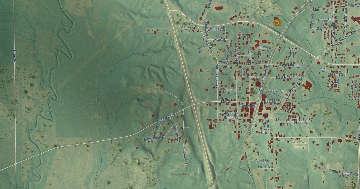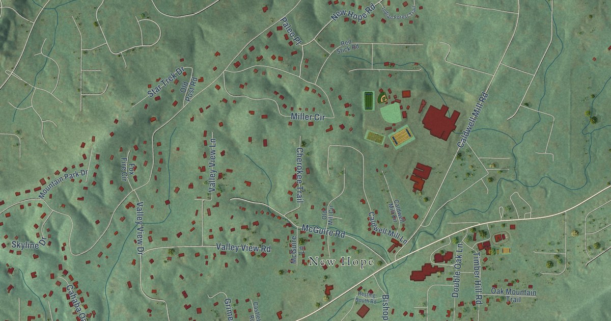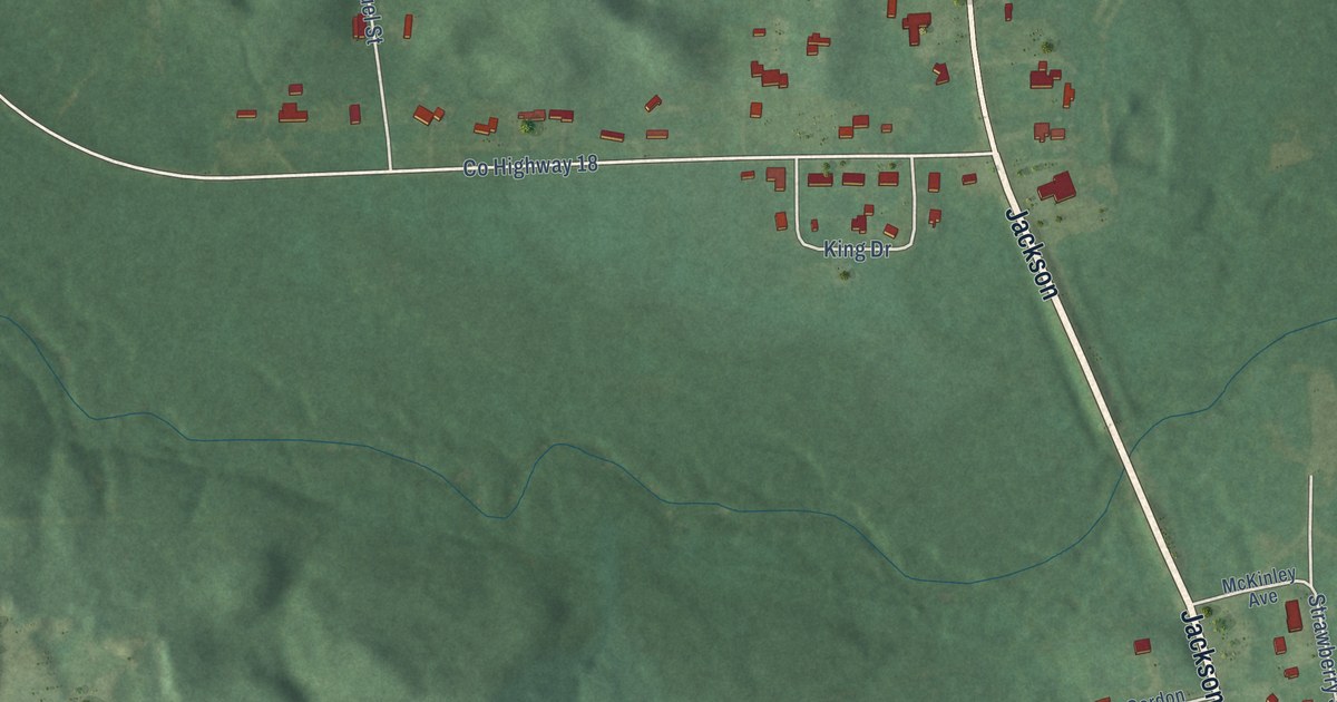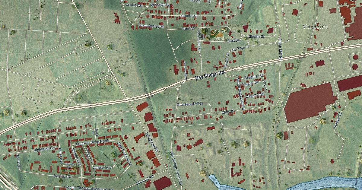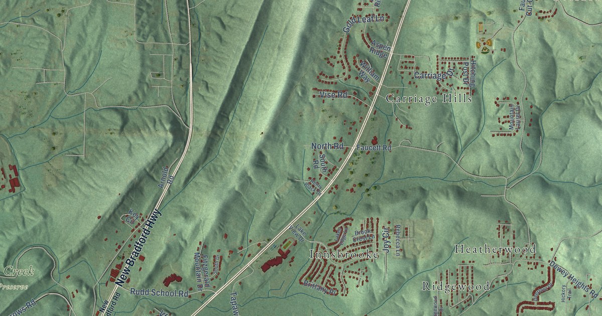
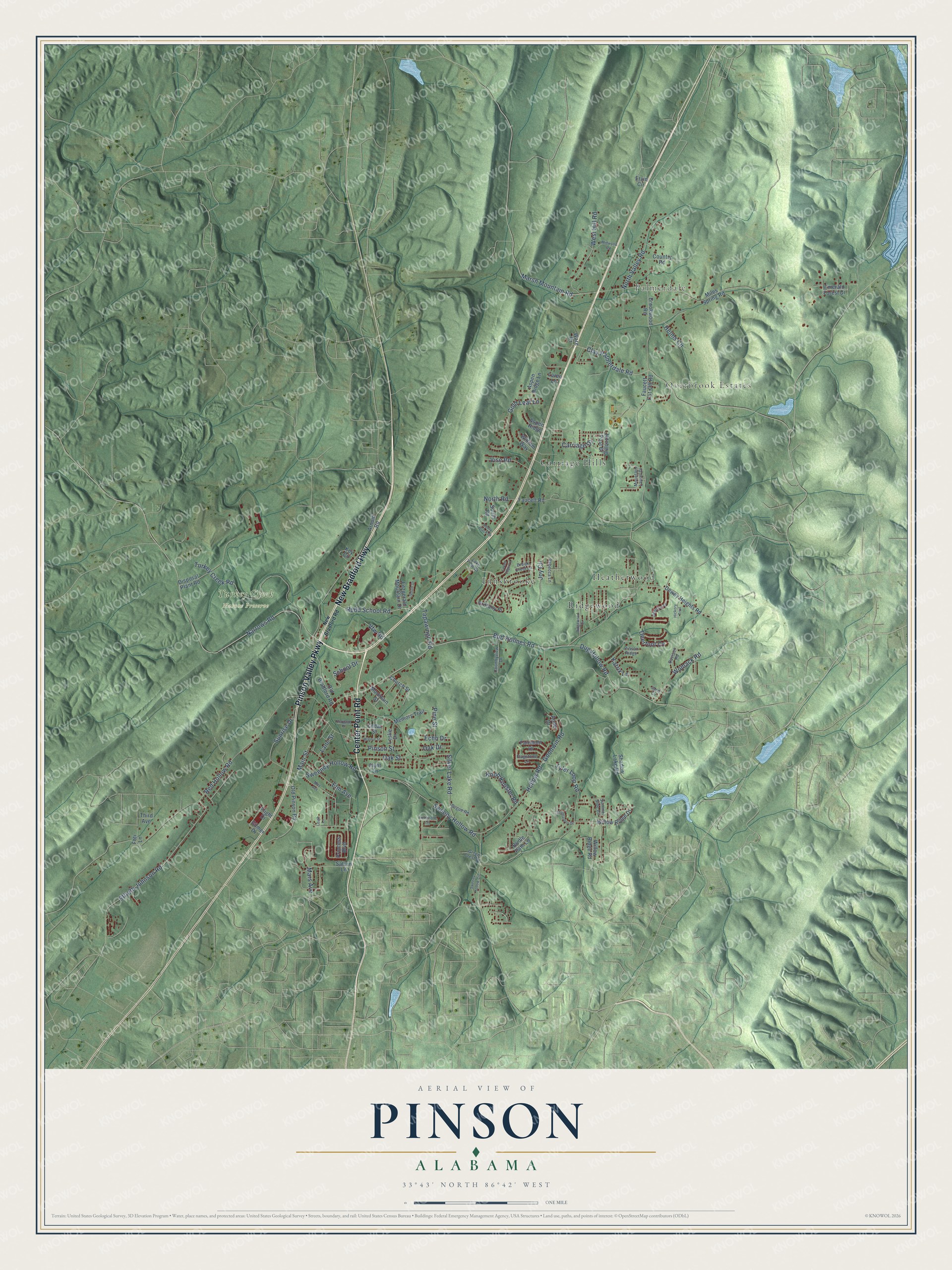
This beautifully detailed map of Pinson, Alabama was created in 2026 using aerial imagery combined with modern topographical, census, street and landmark data. It's a modern aerial view of Pinson in Jefferson County, Alabama, that combines modern data with a vintage aesthetic. The roads feature printed names, and if you look closely you can find your exact house accurately shown in its correct location.
Explore an aerial view of Pinson, Alabama
On this map you'll find Palmerdale, Overbrook Estates, Turkey Creek Nature Preserve, Carriage Hills, Heatherwood, Innsbrooke, Ridgewood, New Bradford Highway, Center Point Road, Pinson Valley Parkway, Narrows Road, Rudd School Road, and more. Each red shape is a building, so zoom in on the preview and look for yours.
Pinson has a story worth telling. The record at encyclopediaofalabama.org puts it this way: "Sometime after that, the town was renamed Mount Pinson after a town in Tennessee, and finally simply Pinson when the first post office was established in 1837."
Pinson is a city in Jefferson County. The Census Bureau counted 7,215 people here in 2020.
Take a closer look at the Pinson map
Names on this map
These names are printed on this map.
Places: Palmerdale, Overbrook Estates, Turkey Creek Nature Preserve, Carriage Hills, Heatherwood, Innsbrooke and Ridgewood.
Streets and roads: New Bradford Highway, Center Point Road, Pinson Valley Parkway, Narrows Road, Rudd School Road, School Drive, Goodwin Road, Red Hollow Road, Turkey Creek Road, Silver Lake Road, Sweeny Hollow Road, Tyler Loop Road.
More street names, A to Z
Anne Drive, Arnold Road, Aspen Ridge, Aspen Ridge Lane, Bogue Road, Bridle Path Lane, Brittany Place, Brook Crest Lane, Brookwood Road, Bud Holmes Road, Carriage Drive, Cedar Street, Church Street, Clay Palmerdale Road, Country Road, Countryview Drive, Davison Road, Deerfoot Cv, Deerfoot Drive, Dewey Heights Road, Disposal Plant Road, Dug Hollow Road, Echo Drive, Elfreth Johnson Road, Elm Avenue, Emerald Forest Drive, Ervin Circle, Fairmont Drive, Faucett Cut-Off Road, Faucett Road, Fieldstone Circle, Fitzgerald Mountain Drive, Flagstone Lane, Flight Drive, Flynt Lane, Foti Lane, Gilmer Drive, Gold Leaf Lane, Green Crest Drive, Helms Circle, Henry Black Drive, Heritage Place, Hickory Trail, Hitching Post Drive, Hollow Road, Joy Circle, Katrix Lane, Key Circle, Knob Knoster Road, Lakes Edge Lane, Lake View Drive, Lane Street, Leigh Lane, Leslie Drive, Loren Lane, Main Street, Mars Avenue, Marsh Mountain Road, May Avenue, Memory Trail, Midwood Road, Miles Spring Road, Mountain Laurel Drive, Mountain Street, New Bradford Road, North Road, North Valley Road, Oak Drive, Oak Street, Old Bradford Road, Old Pinson Road, Pine Street, Pinson Ridge, Pinson Street, Princess Boulevard, Rebecca Lane, Ridgewood Drive, Sandi Circle, Saturn Lane, Shadow Lake Road, South Drive, South Road, Stonearbor Drive, Summer Side Circle, Sunrise Drive, Sweeney Hollow Road, Sweeny Hollow Circle, Tapawingo Road, Third Avenue, Vfw Road, Vise Road, Walnut Street, Ware Drive, West Hill Road, William Way, Willow Ridge Drive, Willow Ridge Road, Womack Road.
Created by KNOWOL in 2026. The buildings are small red shapes, the roads carry their printed names, and shaded relief shows the shape of the land. The title panel reads "AERIAL VIEW OF PINSON ALABAMA" with 33°43' NORTH 86°42' WEST.
It looks right in a kitchen, an office or a den, and it's a gift for anyone who grew up in Pinson or moved away. Open the preview and find your street. See sizes and frames for the Pinson map.