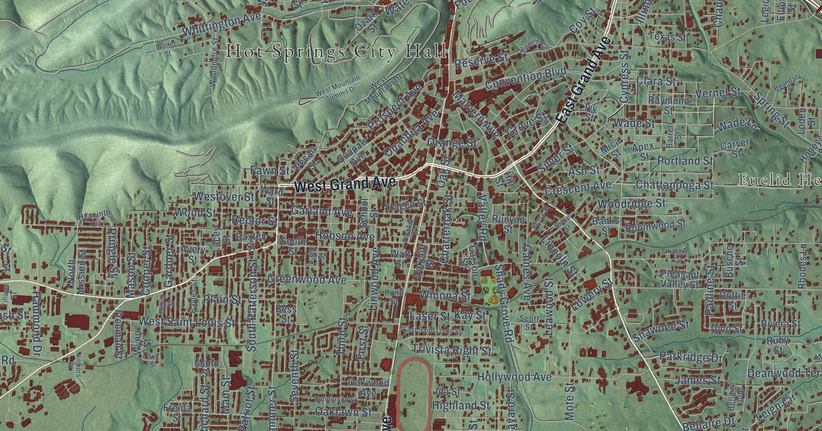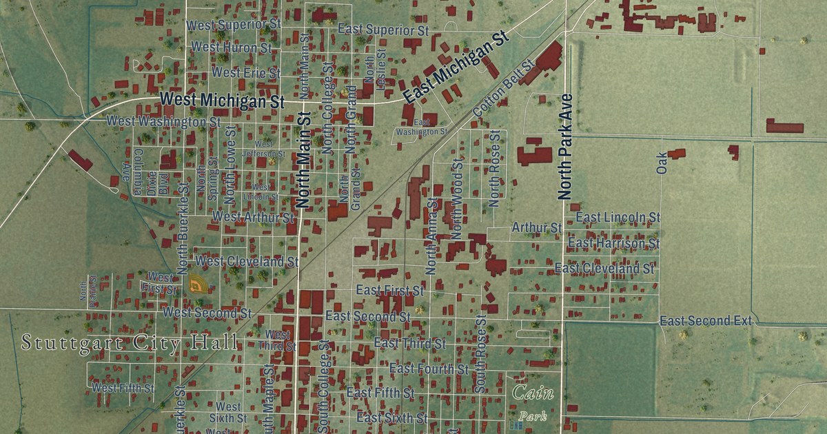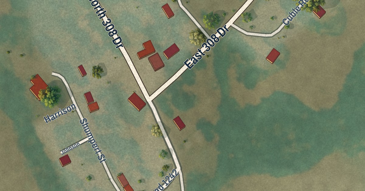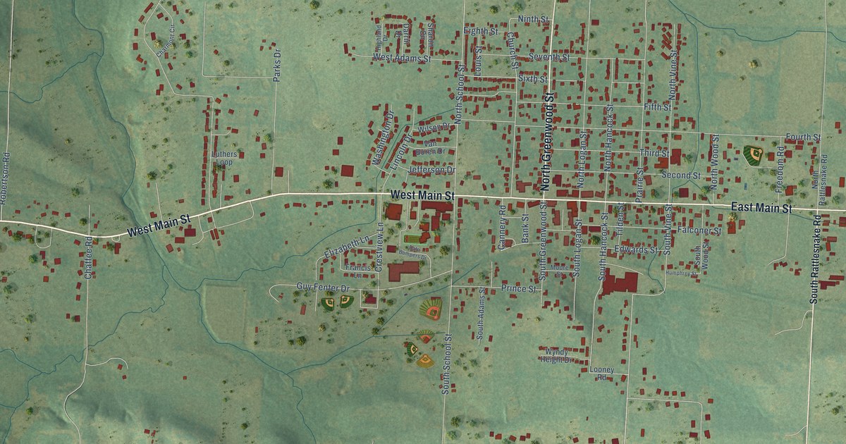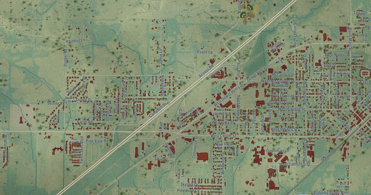
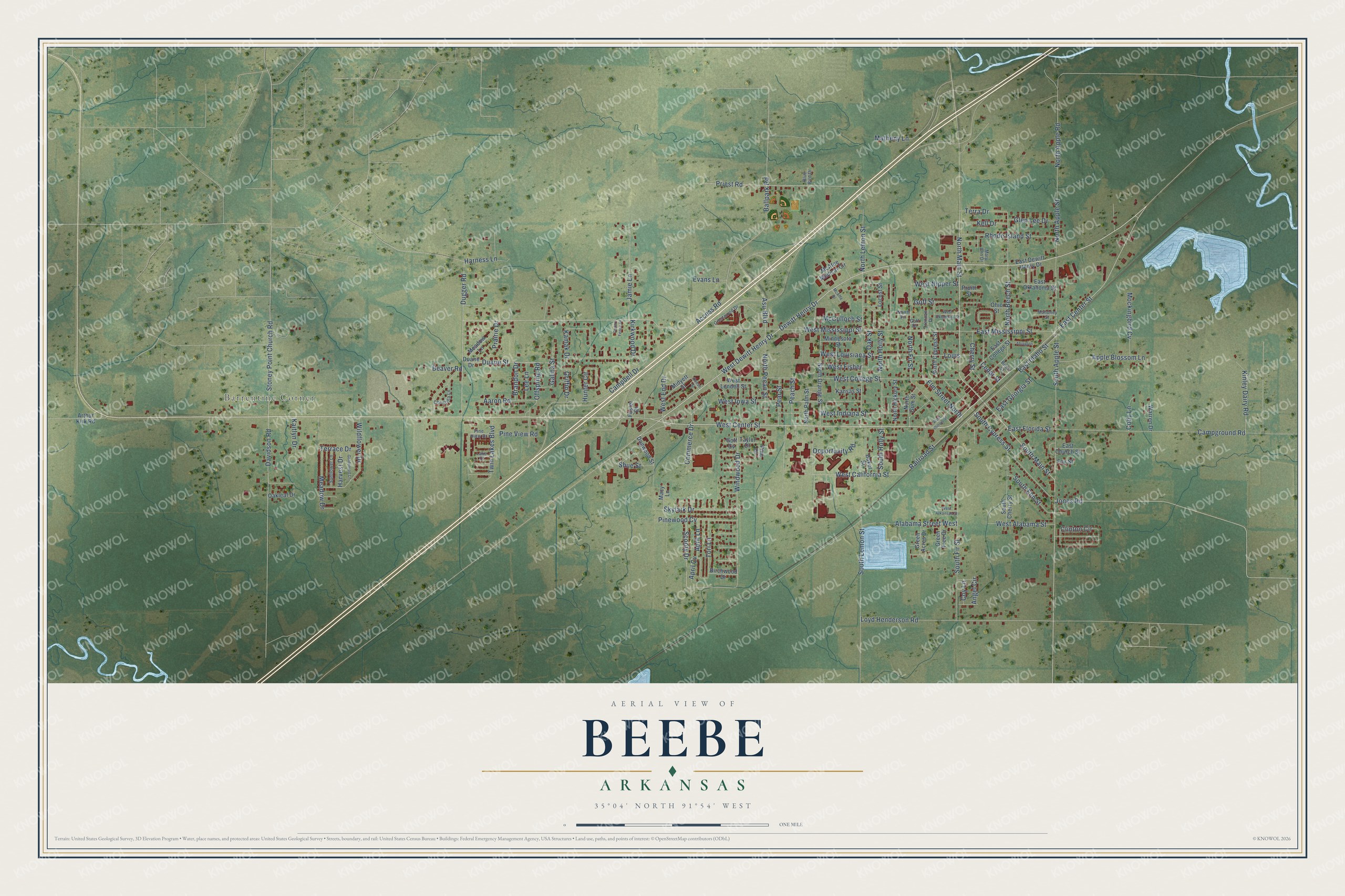
This beautifully detailed map of Beebe, Arkansas was created in 2026 using aerial imagery combined with modern topographical, census, street and landmark data. It’s a one-of-a-kind view of Beebe that combines accurate data with a vintage aesthetic. The map shows every building in its true location, many of the roads carry their names, and the shaded topographic relief shows the shape of the land.
Explore an aerial view of Beebe, Arkansas
On the map you’ll find Barrentine Corner, along with Dewitt Henry Drive, West Center Street, West Dewitt Henry Drive, East Center Street, North Main Street, South Main Street, South Fir Street, South Elm Street, West California Street, East Idaho Street, Duane Street, and more. If you look closely you can even find your house accurately drawn in its correct location. Zoom in on the preview to look for yours.
Did you know this piece of Beebe, Arkansas history?
From the CALS Encyclopedia of Arkansas: "In 1872, the first train stopped at Des Arc Road. This intersection was designated Beebe Station in honor of Roswell Beebe. The train stopped there to take on wood and water to power the steam engine."
Beebe is a city in White County.
Take a closer look at the Beebe map
Street and place names on the Beebe, Arkansas map
These names are printed on the map of Beebe, Arkansas.
Places: Barrentine Corner.
Streets and roads: Dewitt Henry Drive, West Center Street, West Dewitt Henry Drive, East Center Street, North Main Street, South Main Street, South Fir Street, South Elm Street, West California Street, East Idaho Street, Duane Street, Scooty Drive.
More street names, A to Z
Aaron Road, Abington, Access Road, Alabama Street West, Angel Circle, Apple Blossom Lane, April Cv, April Lane, Arthur Kirk Road, Asu Boulevard, Baker Street, Ballpark Road, Beaver Road, Birch Street, Birchwood Drive, Blue Bird Drive, Brandon Drive, Campbell Drive, Campground Road, Cedar Fence Drive, Cedar Street, Cherry Street, Christina Lane, Clinton Circle, Cody Lane, Commerce Drive, Coy Lane, Crestwood Drive, Davidson Road, Deese Street, Dogwood Street, Drennan Drive, Duane Drive, Dugger Road, East Church Street, East College Street, East Dewitt Henry Drive, East Florida Street, East Georgia Street, East Mississippi Street, East Oklahoma Street, Elm Street North, Evans Lane, Foster Drive, Fox Street, Galina Street, Glen Lee Drive, Goff Cv, Goff Drive, Goff Street, Goldenrod Lane, Green Acres Drive, Green Tree Drive, Griffin Drive, Harness Lane, Harvest Drive, Hunter Circle, Jamie Lane, Jones Road, Kaitlyn Drive, Kamak Drive, Kansas Street, Kell Drive, Kinley Dairy Road, Kirkwood Drive, Lake Court, Lee Lane, Locust Street, Louis, Loyd Henderson Road, Macy Lane, Mahoney Street, Mary Ann Drive, Matheny Lane, McAfee Medical Circle, McAffe Drive, McCulloch Street, Meadow Drive, Meadow Lane, Midyett Street, Minnesota Street, Mockingbird Cv, North Apple Road, North Apple Street, North Beech Street, North Cypress Street, North Fir, North Fir Street, North Gum Street, North Hickory Street, North Holly Street, North Lemon Street, North Orange Street, North Palm Street, North Pecan Street, Oakleaf Drive, Oak Street, Offspring Road, Ohio Street, Opportunity Road, Peach Street, Pear Street, Pine Drive, Pine View Drive, Pine View Road, Pinewood Cv, Prairie Drive, Priest Road, Pruitt Street, Railroad Street, Rhode Island Street, Shue Street, Skylark Drive, South Apple Street, South Cherry Street, South Cypress Street, South Holly Street, South Lemon Street, Stoney Point Church Road, Sunflower Lane, Taylor Drive, Terrace Drive, Terra Drive, Tori Lane, Twin Lakes Boulevard, Warren Drive, West Alabama Street, West Arkansas Street, West College Street, West End Drive, West Fisher, West Illinois Street, West Indiana Street, West Iowa Street, West Lendell Street, West Louisiana Street, West Mississippi Street, West Nipper Street, West Oklahoma Street, Wildflower Drive, Windwood Drive.
See the Beebe, Arkansas map on a wall
The Beebe map as an 18 x 24 inch print in a black frame.

This beautifully detailed map of Beebe makes an attractive addition to your office, library, or den, and it can even be used to teach children the geography and history of the area. It also makes a great gift for someone who left Beebe and still calls it home. When you’re done exploring, click here to get your copy of the Beebe map.