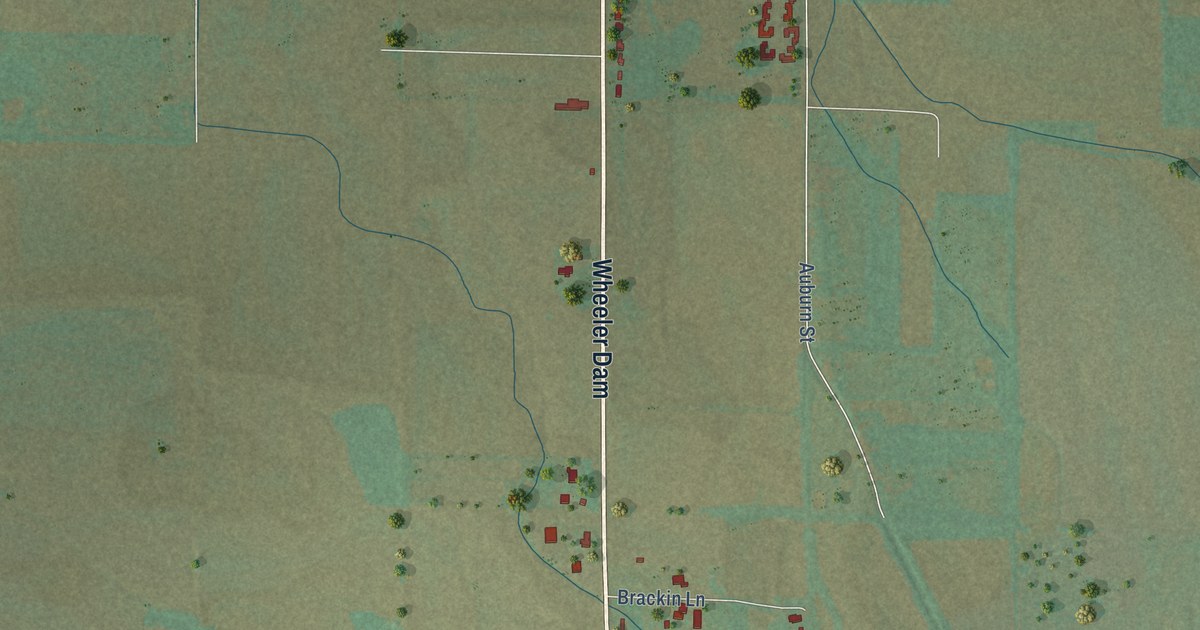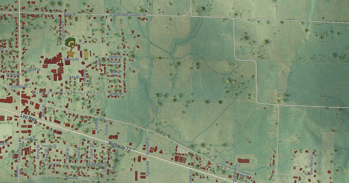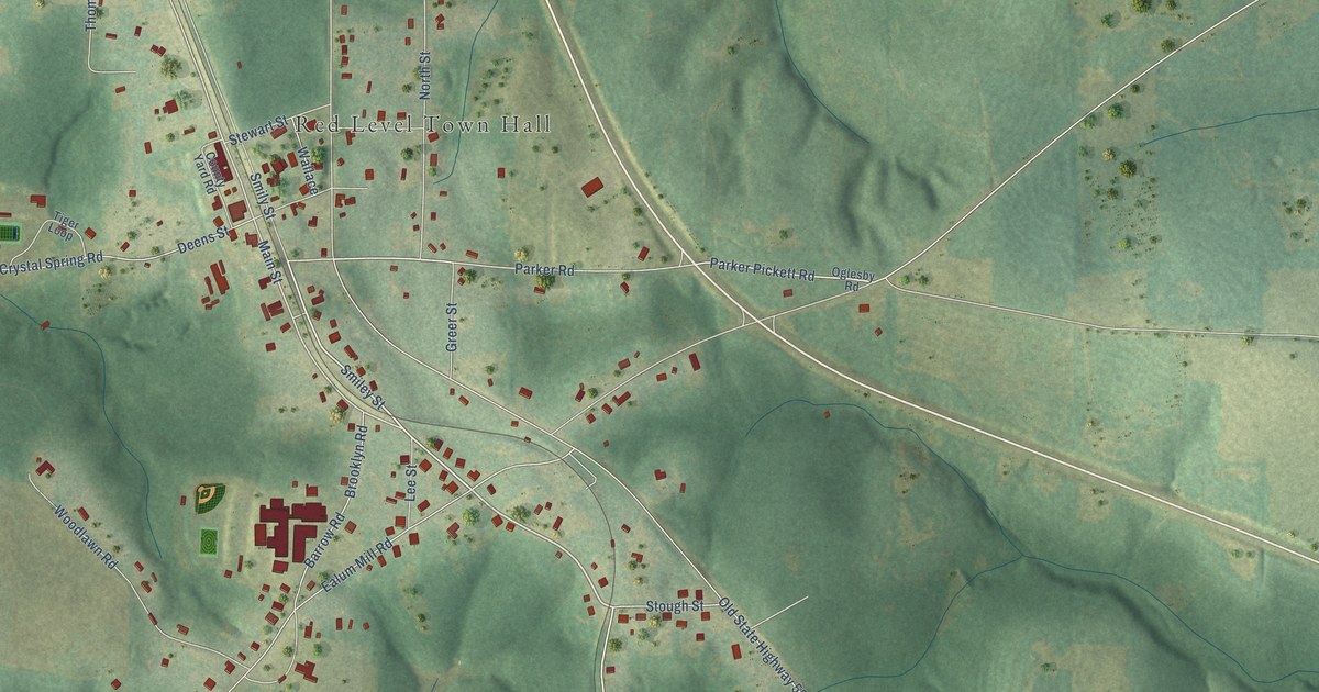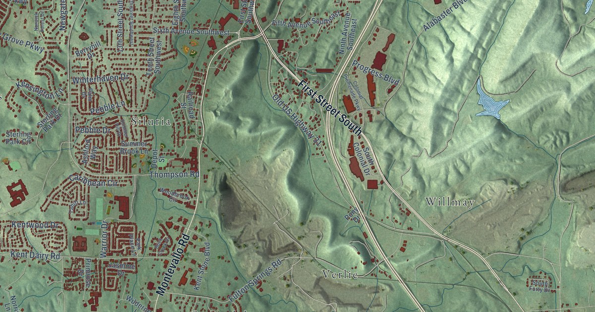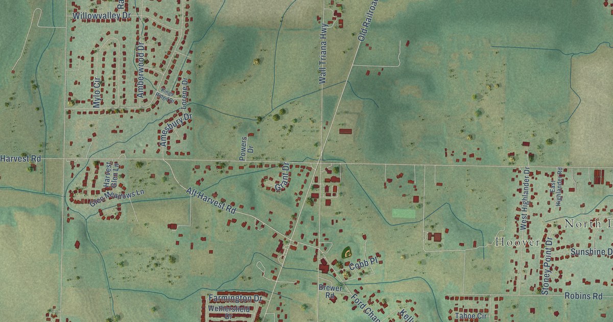
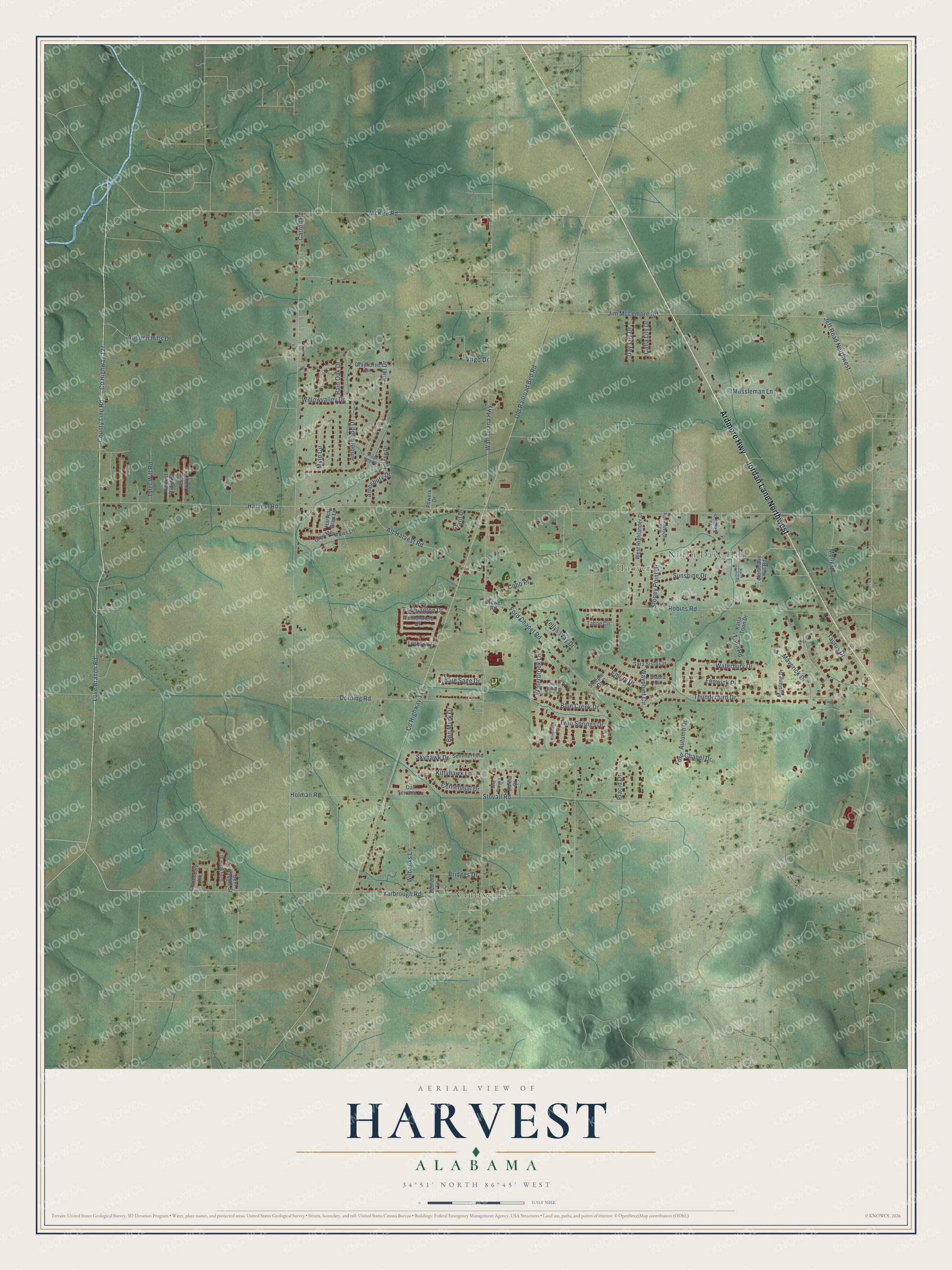
This beautifully detailed map of Harvest, Alabama was created in 2026 using aerial imagery combined with modern topographical, census, street and landmark data. It's a modern aerial view of Harvest in Madison County, Alabama, that combines modern data with a vintage aesthetic. The roads feature printed names, and if you look closely you can find your exact house accurately shown in its correct location.
Explore an aerial view of Harvest, Alabama
On this map you'll find North Daye Hill, Hoover, Cluttsville, Ardmore Highway, Jordan Lane Northwest, Love Branch Road, Co Highway 127, County Line Road, Alt Harvest Road, Yarbrough Road, McKee Road, Blue Creek Drive, and more. Each red shape is a building, so zoom in on the preview and look for yours.
Here is a piece of Harvest history, in the words of the record. The record at alabamahistory.net puts it this way: "Gwinn organized at the home of Richard and Betsy Ford, the first Methodist Society of the six in the Flint Circuit."
Harvest is a community in Madison County. The Census Bureau counted 5,893 people here in 2020.
Take a closer look at the Harvest map
Names on this map
These names are printed on this map.
Places: North Daye Hill, Hoover and Cluttsville.
Streets and roads: Ardmore Highway, Jordan Lane Northwest, Love Branch Road, County Highway 127, County Line Road, Alt Harvest Road, Yarbrough Road, McKee Road, Blue Creek Drive, Harvest Road, Wall Triana Highway, Carroll Road.
More street names, A to Z
Amberwood Drive, Amesbury Drive, Ariel Drive, Autumn Drive, Autumn Hills Drive, Bedford Lane, Ben Mark Drive, Bent Saddle Street, Blue Sage Drive, Brewer Road, Bridges Drive, Calla Lily Drive, Centennial Drive, Clydesdale Lane, Cobb Place, County Highway 11, Day Lily Drive, Dorning Road, East Highlander Road, Emory Drive, Farmington Drive, Fenwick Place, Ford Chapel Drive, Ford Chapel Road, Glen Meadows Lane, Grant Drive, Grayhorse Drive, Grey Mare Street, Harvest Glen Lane, Harvest Ridge Drive, Holman Road, Jeff Road Northwest, Jesse Layne Drive, Jim McLemore Road, Karla Toon Drive, Kellys Way Drive, Kings Ridge Drive, Kittyhawk Lane, La Newby Drive, Lockport Drive, Lorene Drive, Maverick Drive, Molly Lane, Mussleman Lane, Mustang Drive, Mylo Circle, North Day Hill Road, North Dayhill Road, Oak Terrace Lane, Old Railroad Bed Road, Pinto Drive, Placid Drive, Powers Drive, Rain Oak Drive, Robins Road, Salvia Court, Sara Sista Circle, Shady Spring Drive, Skyhawk Drive, Stadia Circle, Steeple Drive, Stoney Point Drive, Stovall Road, Summerfield Lane, Sunshine Drive, Tahoe Circle, Taurus Drive, Thunderbird Drive, Toon Road, Twin Springs Drive, Tyler Will Road, Virgo Drive, Waterbrook Lane, Waterbury Drive, Waypoint Circle, West Highlander Drive, Wethersfield Drive, Wilbanks Lane, Wild Berry Lane, Willowvalley Drive, Windledge Place.
Created by KNOWOL in 2026. The buildings are small red shapes, the roads carry their printed names, and shaded relief shows the shape of the land. The title panel reads "AERIAL VIEW OF HARVEST ALABAMA" with 34°51' NORTH 86°45' WEST.
It suits a den, a classroom or a front hall, and it makes a gift for anyone with Harvest roots. Open the preview and find the block you know. See sizes and frames for the Harvest map.