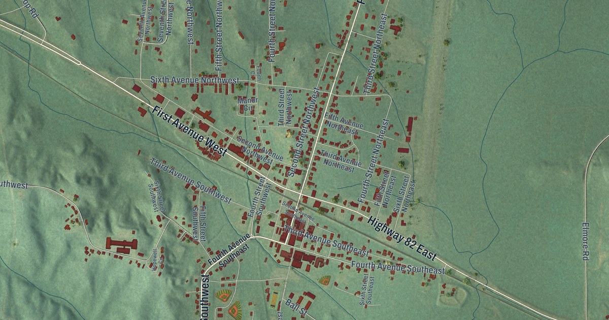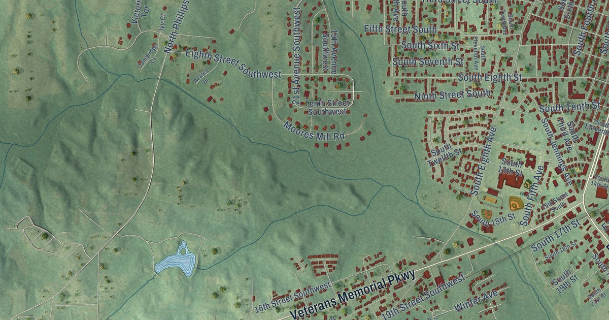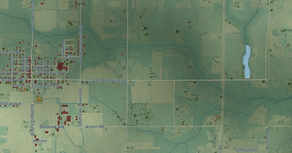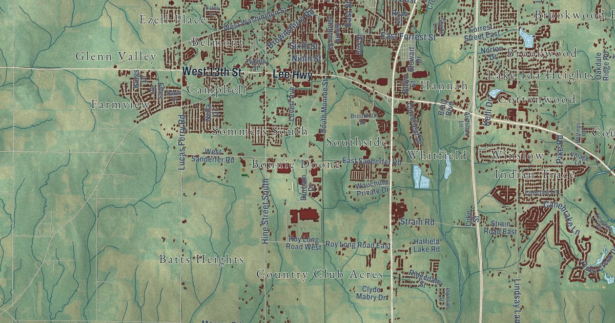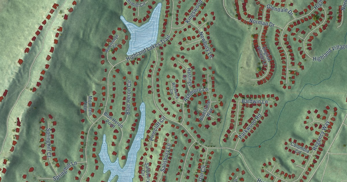
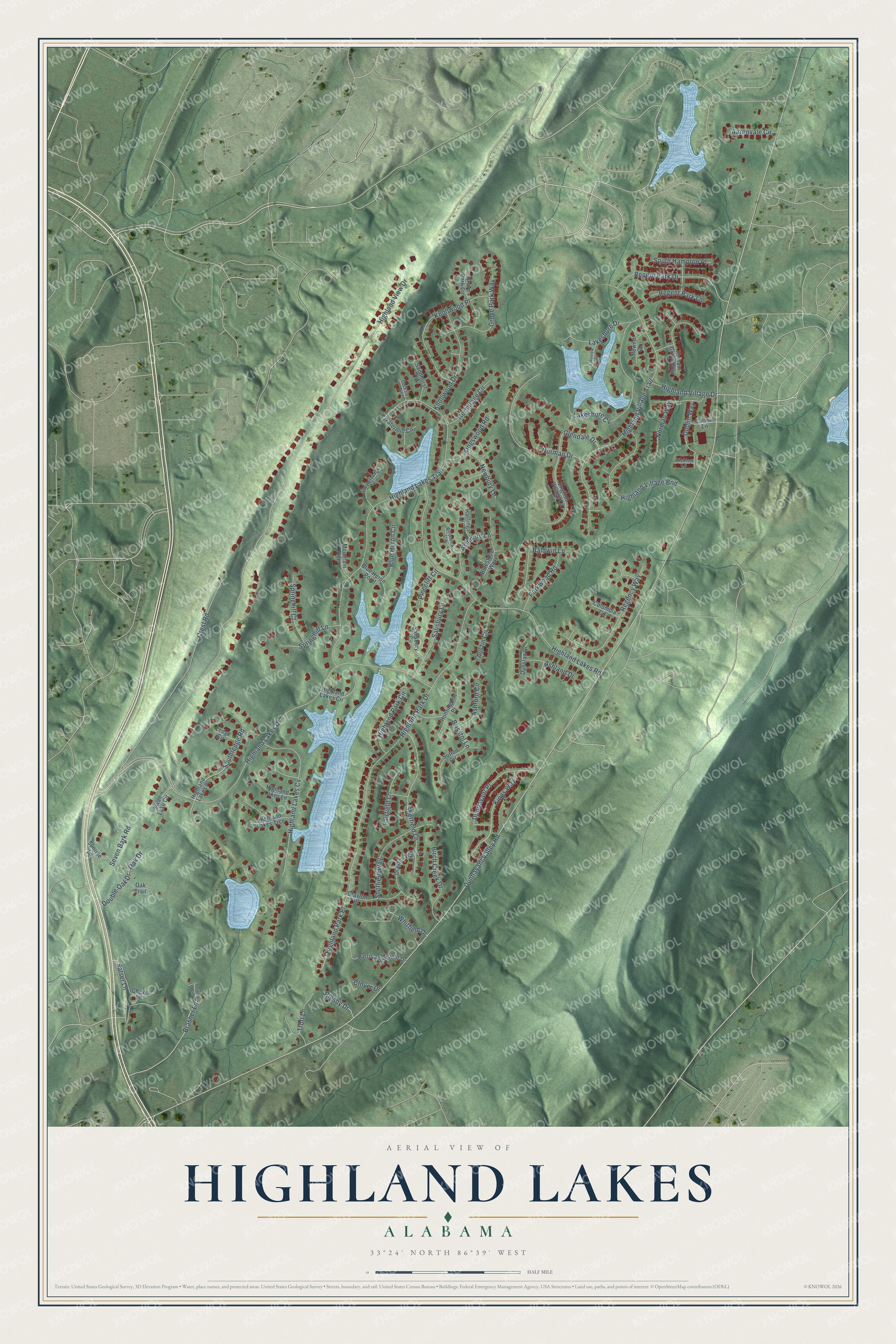
This beautifully detailed map of Highland Lakes, Alabama was created in 2026 using aerial imagery combined with modern topographical, census, street and landmark data. It's a modern aerial view of Highland Lakes in Shelby County, Alabama, that combines modern data with a vintage aesthetic. The roads feature printed names, and if you look closely you can find your exact house accurately shown in its correct location.
Explore an aerial view of Highland Lakes, Alabama
On this map you'll find Highland Lakes Drive, Regent Park Drive, Dunnavant Valley Road, Highland View Drive, Highland Park Drive, Highland Lakes Trail, Highland Village Trail, Highland Lakes Road, Crest Road, Highland Village Bnd, Lakeshore Cv, Highland Lakes Cv, and more. Each red shape is a building, so zoom in on the preview and look for yours.
Here is a piece of Highland Lakes history, in the words of the record. The Highland Lakes HOA puts it this way: "The community's over 1,700 acres spread out and down from the Appalachian ridges of Oak Mountain. Streets flow through the woods and around the four beautiful lakes designed and stocked with fish."
Highland Lakes is a community in Shelby County. The Census Bureau counted 5,239 people here in 2020.
Take a closer look at the Highland Lakes map
Names on this map
These names are printed on this map.
Streets and roads: Highland Lakes Drive, Regent Park Drive, Dunnavant Valley Road, Highland View Drive, Highland Park Drive, Highland Lakes Trail, Highland Village Trail, Highland Lakes Road, Crest Road, Highland Village Bnd, Lakeshore Cv, Highland Lakes Cv.
More street names, A to Z
Aaronvale Circle, Ashford Circle, Ashland Drive, Ashmore Lane, Austin Circle, Baldwin Lane, Birch Creek Drive, Blue Heron Circle, Blue Heron Point, Bluestone Way, Brasher Lane, Brisstol Lane, Carlow Lane, Chevy Lane, Clover Drive, Columbia Circle, Double Oak Drive, Drayton Place, Drayton Way, Dublin Way, Dunnavant Place, Dunstan Drive, English Village Lane, Fairfield Lane, Glendale Drive, Grove Park Circle, Grove Park Way, Harding Circle, Harris and Wright Drive, Hastings Circle, Hermitage Circle, Highland Lakes Circle, Highland Lakes Lane, Highland Lakes Place, Highland Lakes Trce, Highland Park Circle, Highland Park Place, Highland Village Drive, Huntingdon Place, Idlewild Circle, Kelham Grove Way, Kings Way, Kingswood Road, Knollwood Drive, Knollwood Place, Lakeshore Drive, Lakeview Circle, Ledge Circle, Locksley Circle, Mountain Trce, Newbury Lane, Norman Drive, Norman Way, Oak Drive, Oak Trail, Parkwood Road, Pinecliff Circle, Regency Way, Regent Park Lane, Rigsby Drive, Salisbury Circle, Salisbury Lane, Salser Lane, Sandhurst Circle, Seven Bark Road, Sheffield Lane, Sheffield Way, South Hampton Place, Southledge Road, Springhill Court, Springhill Lane, Sunrise Lane, Sutton Circle, Swan Lake Circle, Trott Lane, Watermill Circle, Watersedge Circle, Westwick Circle, Whitfield Drive, Wicklow Lane.
Created by KNOWOL in 2026. The buildings are small red shapes, the roads carry their printed names, and shaded relief shows the shape of the land. The title panel reads "AERIAL VIEW OF HIGHLAND LAKES ALABAMA" with 33°24' NORTH 86°39' WEST.
It suits a den, a classroom or a front hall, and it makes a gift for anyone with Highland Lakes roots. Open the preview and find the block you know. See sizes and frames for the Highland Lakes map.