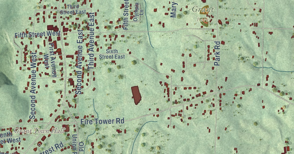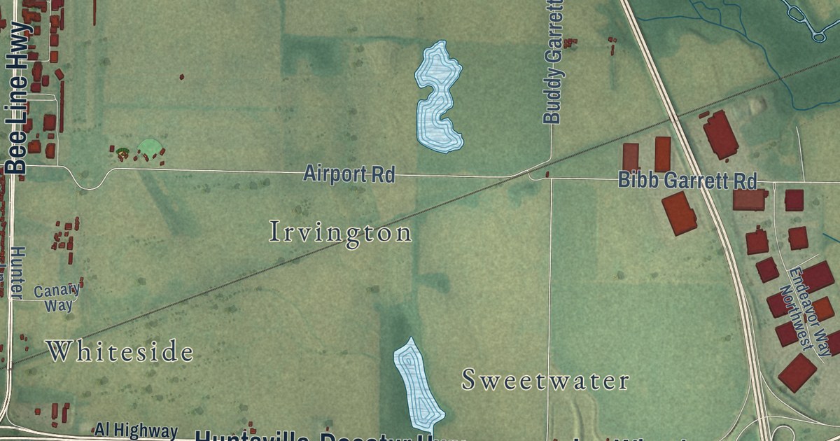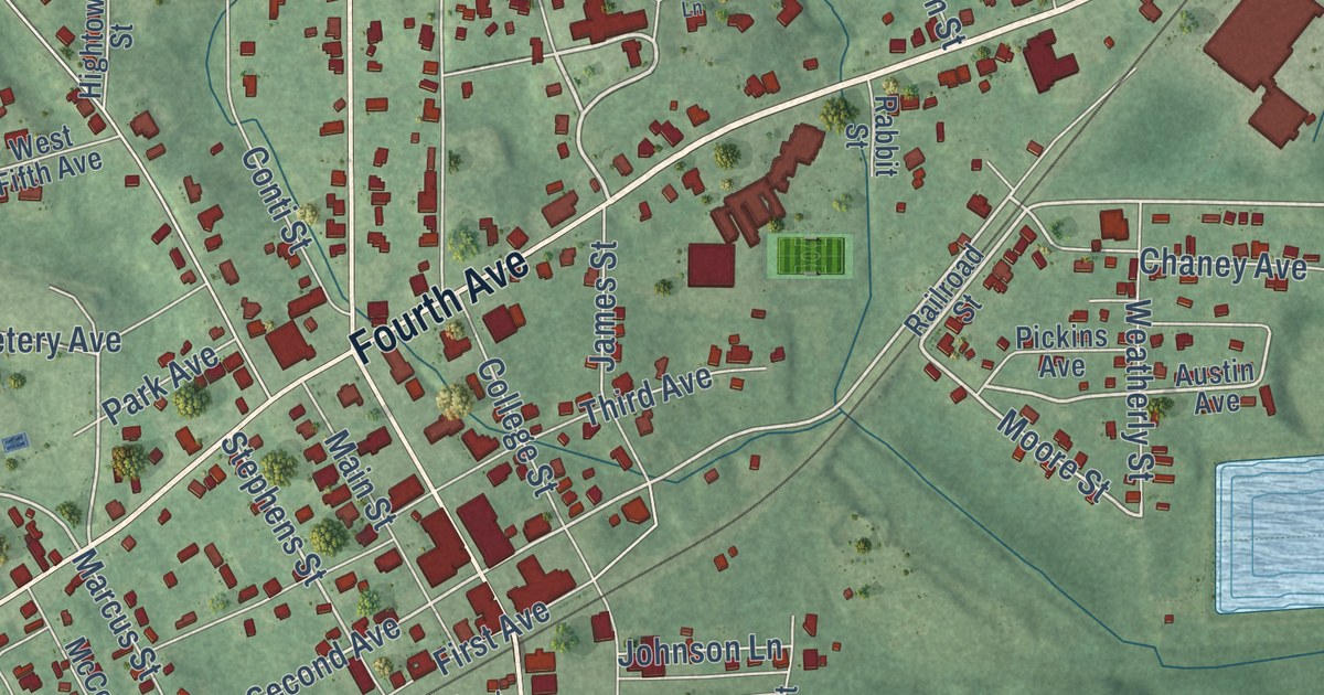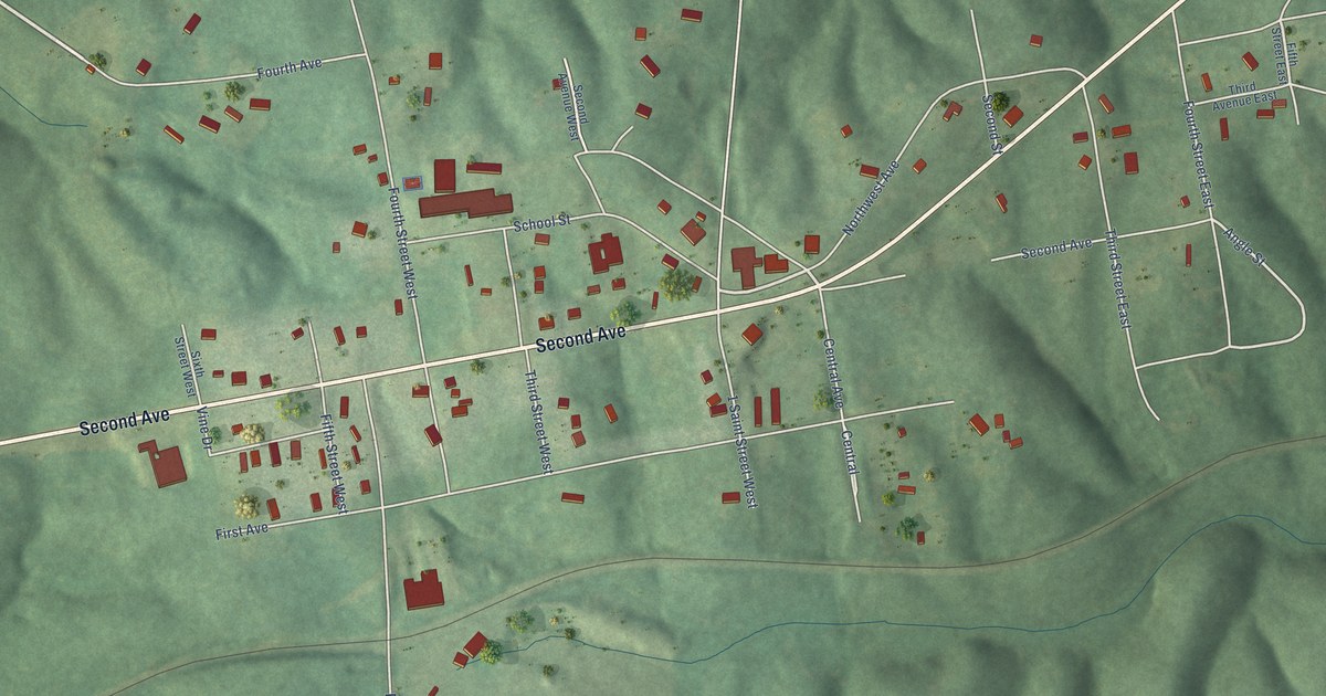
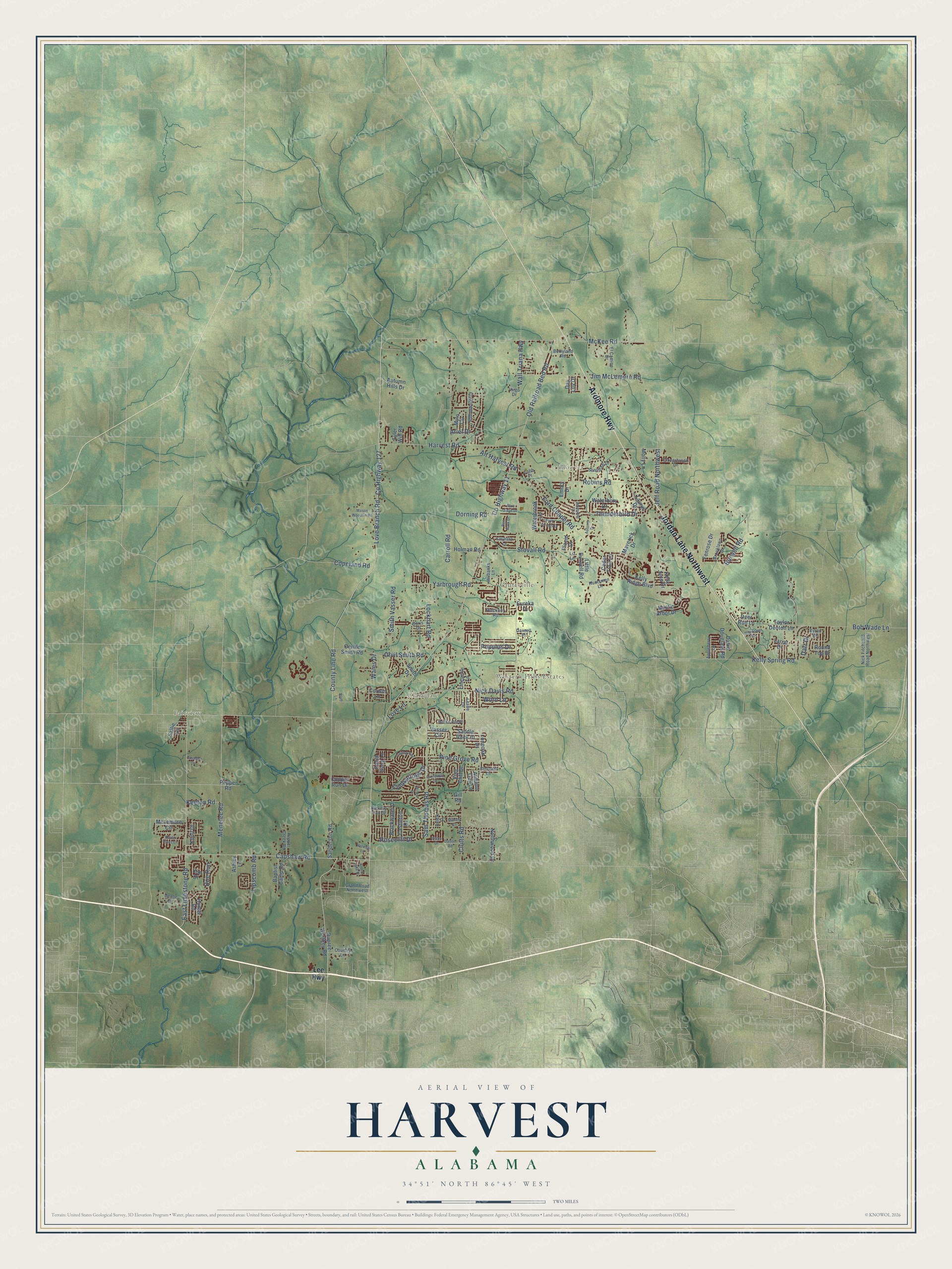
This beautifully detailed map of Harvest, Alabama was created in 2026 using aerial imagery combined with modern topographical, census, street and landmark data. It’s a one-of-a-kind view of Harvest that combines accurate data with a vintage aesthetic. The map shows every building in its true location, many of the roads carry their names, and the shaded topographic relief shows the shape of the land.
Explore an aerial view of Harvest, Alabama
On the map you’ll find North Daye Hill, Hoover, and Cluttsville, along with Ardmore Highway, Jordan Lane Northwest, Love Branch Road, County Highway 127, County Line Road, Alt Harvest Road, Yarbrough Road, McKee Road, Blue Creek Drive, and more. If you look closely you can even find your house accurately drawn in its correct location. Zoom in on the preview to look for yours.
Did you know this piece of Harvest, Alabama history?
From Ford’s Chapel United Methodist Church (Organized 1808): "Gwinn organized at the home of Richard and Betsy Ford, the first Methodist Society of the six in the Flint Circuit."
Take a closer look at the Harvest map
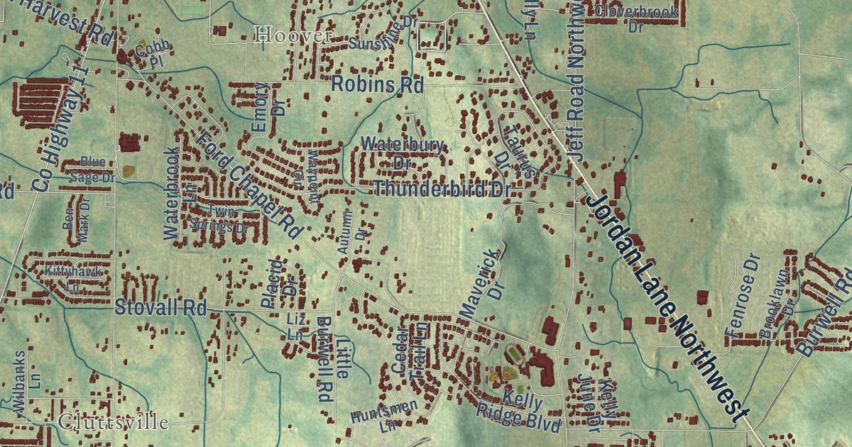
Street and place names on the Harvest, Alabama map
These names are printed on the map of Harvest, Alabama.
Places: Hoover, Fairview, Western Hills Estates, Clarkdale and Cluttsville.
Streets and roads: Ardmore Highway, Jordan Lane Northwest, Old Railroad Bed Road, County Line Road, Love Branch Road, County Highway 127, Capshaw Road, McKee Road, County Highway 11, Wall Triana Highway, Nick Davis Road, Harvest Road.
More street names, A to Z
Alden Lake Drive, Alt Harvest Road, Amberwood Drive, Appleberry Lane, Ariel Drive, Ashley Lane, Autumn Drive, Autumn Hills Drive, Autumn Oak Lane, Baptist Camp Road, Ben Mark Drive, Berryland Road, Bilton Drive, Blackwater Drive, Blue Sage Drive, Bob Wade Lane, Brooklawn Drive, Burwell Road, Byron Road, Carroll Road, Castleton Drive, Cedar Trail Lane, Cloverbrook Drive, Clutts Road, Cobb Place, Coldsprings Drive, Copeland Road, Copper Run Drive, Corwin Lane, Country Lane, Dalton Road, Darnell Place, Darr Drive, David Douglass Road, Day Lily Drive, Deer Run Lane, Delete Street, Denbo Circle, Doe Run, Doris Drive, Dorning Road, Dupree Worthey Road, Eastland Drive, East Limestone Road, El Camino Drive, Emerald Drive, Emory Drive, Eureka Drive, Fenrose Drive, Ford Chapel Road, Gill Road, Grand Road Northwest, Hickory Trail Drive, Hightower Road, Holman Road, Holmes Lane, Horse Pin Place, Hunter Road, Huntsmen Lane, Jeff Road Northwest, Jim McLemore Road, Keeton Road, Kelly June Drive, Kelly Ridge Boulevard, Kelly Spring Road, Kim Drive, Kittyhawk Lane, Knoll Drive, Lariat Drive, Laurelmill Drive, Lee Highway, Leslie Lane, Lincarrie Lane, Lipscomb Road, Little Burwell Road, Liz Lane, Lockhart Road, Loneoak Drive, Love Lane, Mason Woodfin Road, Maverick Drive, McLemore Circle, Melody Circle, Menefee Road, Molly Lane, Mylo Circle, Mystic Arbor Drive, Nick Fitcheard Road Northwest, Northwood Drive, Orville Smith Road, Orvil Smith Road, Pepper Creek Road, Pepper Road, Pinckney Road, Pine Grove Road, Placid Drive, Populus Drive, Robin Song Lane, Robins Road, Rosecliff Drive, Round Top Drive, Saddle Rock Court, Sallie Lane, Sam Thomas Road, Sanderson Road, Seven Pines Lane, Smith Drive, Smith Vasser Road, Staff Lane, Stovall Road, Sunshine Drive, Taurus Drive, Taylor Denton Lane, Thunderbird Drive, Trailing Vine, Twin Springs Drive, Tyler Will Road, Vasser Circle, Vine Cliff Drive, Virgo Drive, Wales Drive, Waterbrook Lane, Waterbury Drive, Waypoint Circle, Wilbanks Lane, Wilder Drive, Word Lane, Yarbrough Road.
See the Harvest, Alabama map on a wall
The Harvest map as an 18 x 24 inch print in a black frame.

This beautifully detailed map of Harvest makes an attractive addition to your office, library, or den, and it can even be used to teach children the geography and history of the area. It also makes a great gift for anyone with Harvest roots. When you’re done exploring, click here to get your copy of the Harvest map.