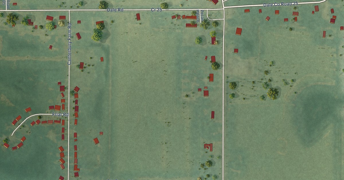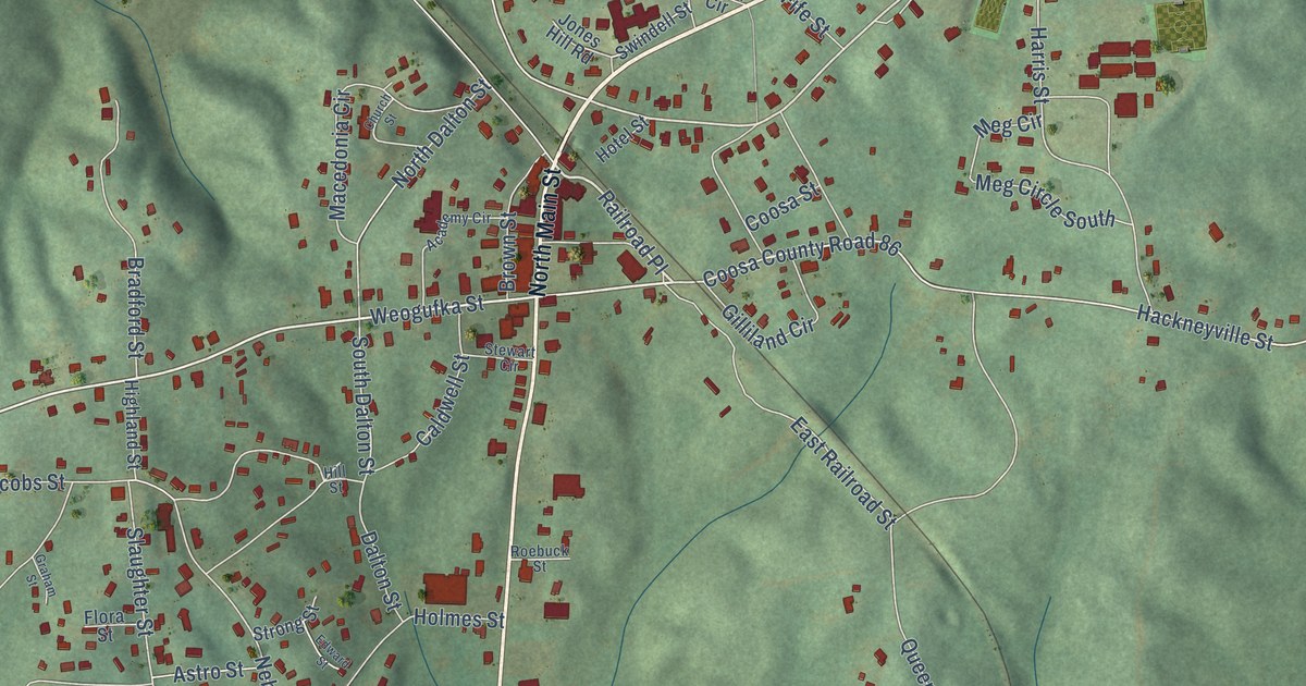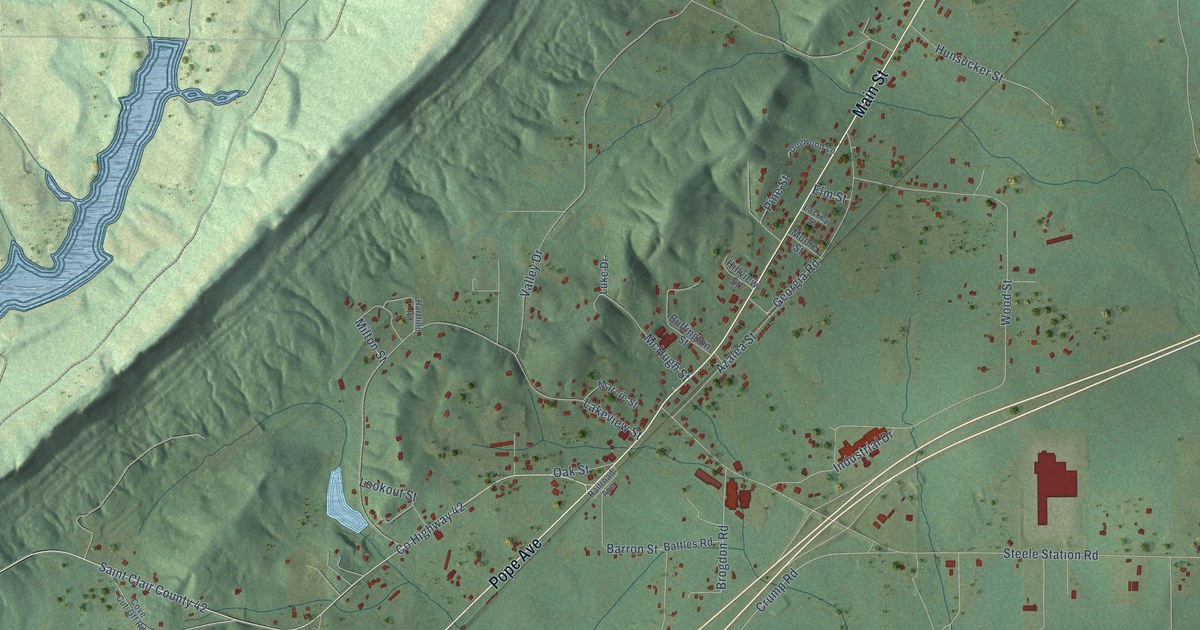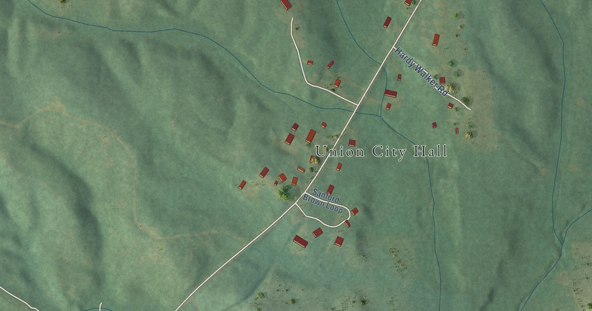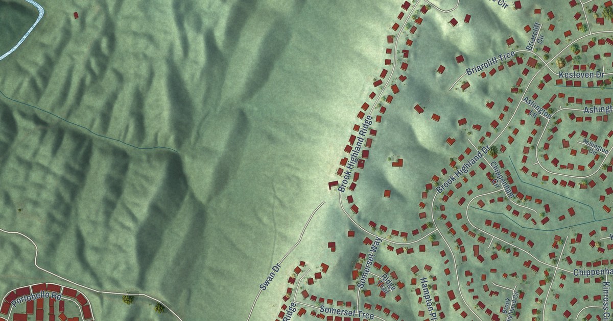
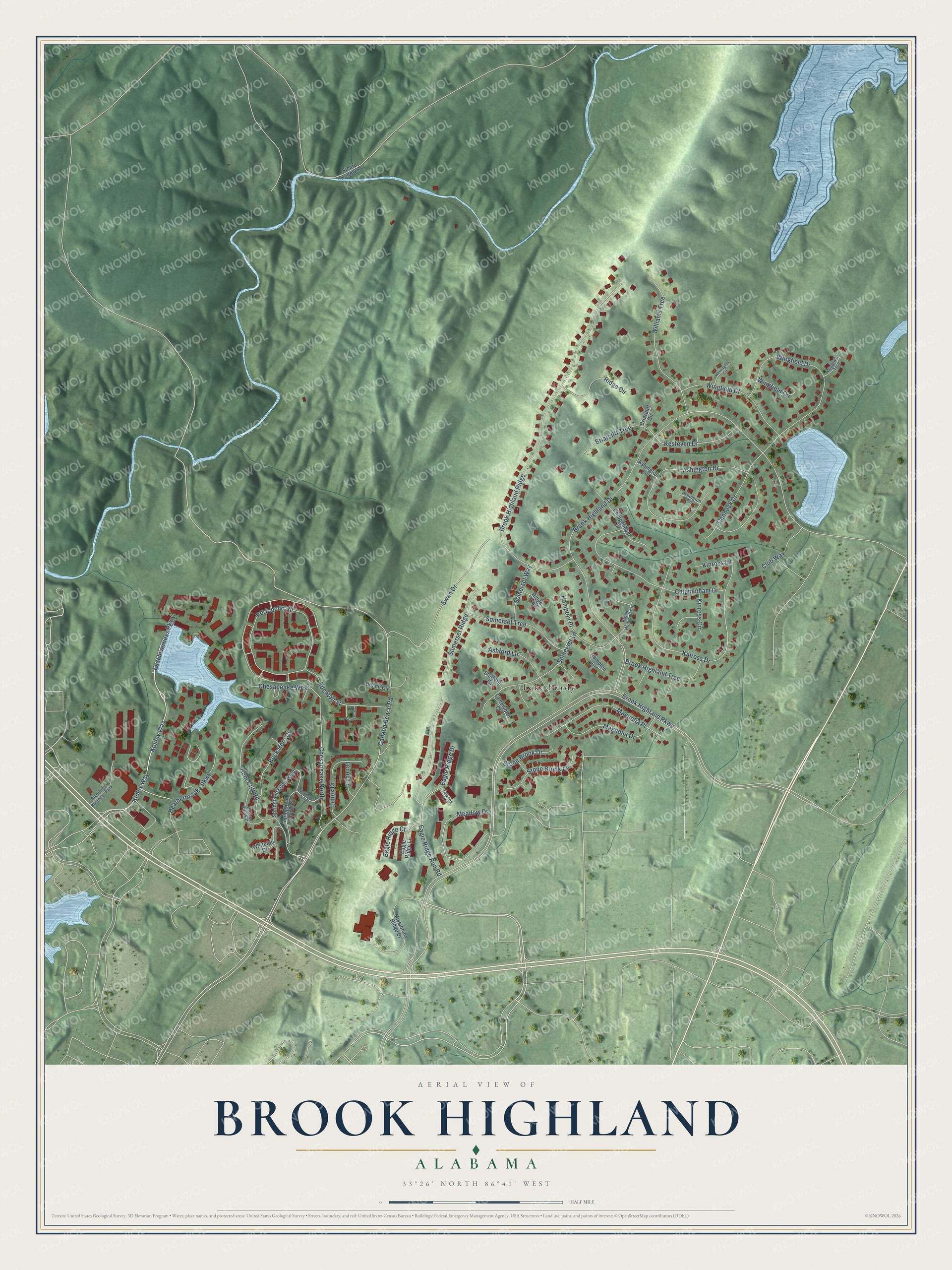
This beautifully detailed map of Brook Highland, Alabama was created in 2026 using aerial imagery combined with modern topographical, census, street and landmark data. It's a modern aerial view of Brook Highland in Shelby County, Alabama, that combines modern data with a vintage aesthetic. The roads feature printed names, and if you look closely you can find your exact house accurately shown in its correct location.
Explore an aerial view of Brook Highland, Alabama
On this map you'll find Lake Purdy, Kenley Way, East Inverness Parkway, Kinley Way, Cahaba Beach Road, Edenton Street, Brook Highland Parkway, Brook Highland Drive, Brook Highland Ridge, Ashington Drive, Kinross Drive, Portobello Road, and more. Each red shape is a building, so zoom in on the preview and look for yours.
Every town has a first chapter, and Brook Highland is no exception. The Brook Highland Homeowners Association puts it this way: "Brook Highland is a neighborhood in northern, unincorporated Shelby County, Alabama, established in 1988, developed in phases over multiple years, and was turned over to the residents for self-management in October 2022."
Brook Highland is a community in Shelby County. The Census Bureau counted 7,406 people here in 2020.
Take a closer look at the Brook Highland map
Names on this map
These names are printed on this map.
Places: Lake Purdy and Riverhills Business Park.
Streets and roads: Kenley Way, East Inverness Parkway, Kinley Way, Cahaba Beach Road, Edenton Street, Brook Highland Parkway, Brook Highland Drive, Brook Highland Ridge, Ashington Drive, Kinross Drive, Portobello Road, Wingfield Drive.
More street names, A to Z
Ashford Lane, Ashington Circle, Ashington Lane, Barristers Court, Beach Circle, Beaver Brook Cv, Briarcliff Circle, Briarcliff Trce, Brook Highland Circle, Brook Highland Trce, Buck Horn Cv, Cannock Drive, Chedworth Court, Chesapeake North, Chesapeake West, Chippenham Circle, Chippenham Drive, Club Way, Eagle Ridge Court, Eagle Ridge Drive, Eagle Ridge Lane, Eagle Ridge Run Road, Hampton Circle, Hampton Place, Heatherbrooke Parkway, Hunt Cliff Road, Kesteven Drive, Kinross Circle, Kinross Lane, Lenox Drive, Lenox Lane, Magnolia Drive, Magnolia Place, Meadow Drive, Missionary Ridge Drive, Ridge Circle, Ridge Trail, Sicard Hollow Road, Somerset Lane, Somerset Ridge, Somerset Trce, Somerset Way, Springfield Loop East, Springfield Loop West, Stafford Court, Stone Brook Drive, Stone Brook Lane, Swan Drive, Townes Court, Warrington Circle, Weatherby Cutoff, Whitetail Drive, Williams Trce, Wingfield Circle, Wingfield Court, Wingfield Trce.
Created by KNOWOL in 2026. The buildings are small red shapes, the roads carry their printed names, and shaded relief shows the shape of the land. The title panel reads "AERIAL VIEW OF BROOK HIGHLAND ALABAMA" with 33°26' NORTH 86°41' WEST.
Hang it in the hallway, the office or the cabin, or give it to someone who left Brook Highland and still calls it home. Open the preview and look for a street you know. See sizes and frames for the Brook Highland map.