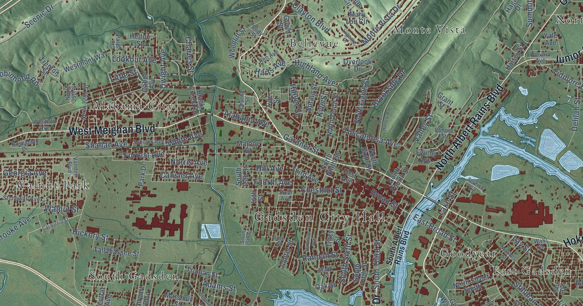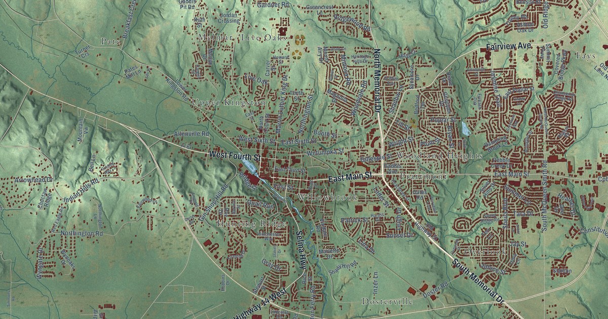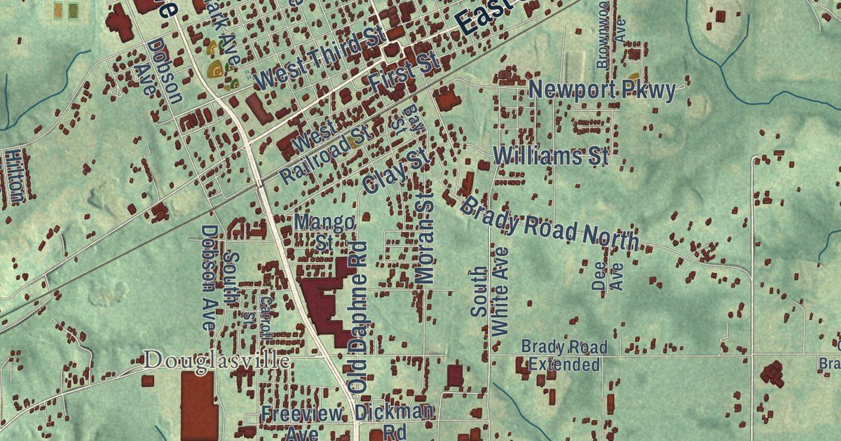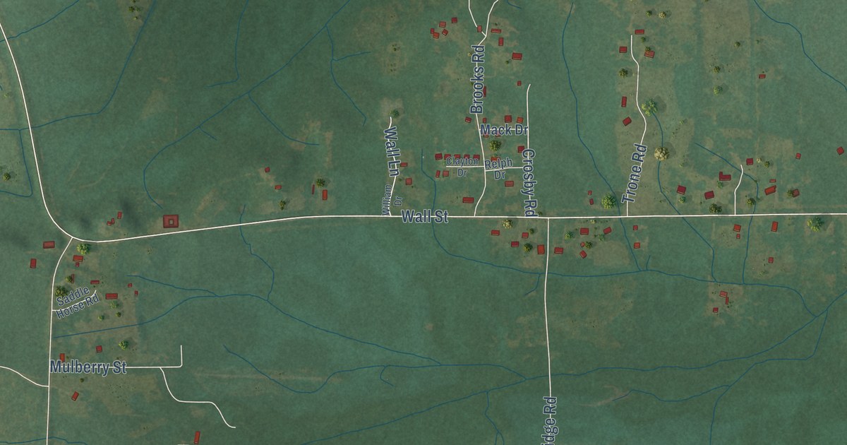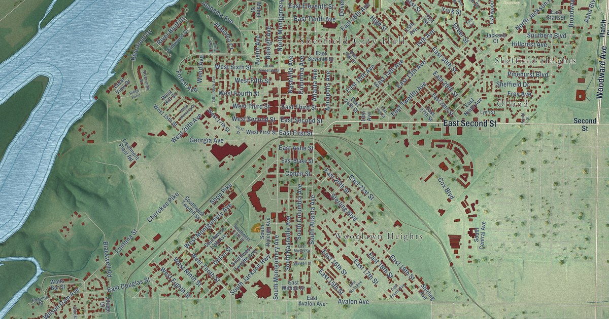
This beautifully detailed map of Sheffield, Alabama was created in 2026 using aerial imagery combined with modern topographical, census, street and landmark data. It’s a one-of-a-kind view of Sheffield that combines accurate data with a vintage aesthetic. The map shows every building in its true location, many of the roads carry their names, and the shaded topographic relief shows the shape of the land.
Explore an aerial view of Sheffield, Alabama
On the map you’ll find Sheffield City Hall, Rivermont, South Florence, Oakwood Cemetery, Cliff Haven, East Sheffield, Easton, Olland, River Oaks, Sheffield Heights, Village Number 1, Woodlawn Heights, and more. If you look closely you can even find your house accurately drawn in its correct location. Zoom in on the preview to look for yours.
Did you know this piece of Sheffield, Alabama history?
From Encyclopediaofalabama.org: "Sheffield was incorporated on February 17, 1885, and named for the industrial city in England."
Take a closer look at the Sheffield map
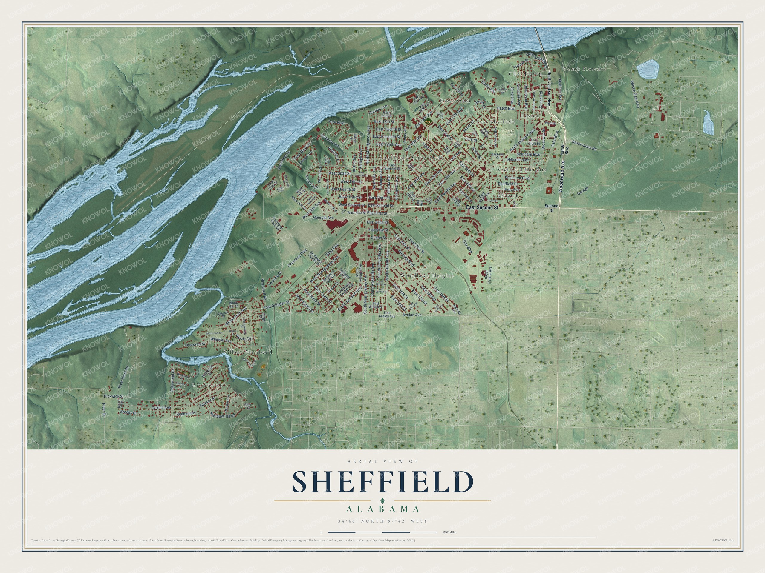
Street and place names on the Sheffield, Alabama map
These names are printed on the map of Sheffield, Alabama.
Places: Sheffield City Hall, Rivermont, South Florence, Oakwood Cemetery, Cliff Haven, East Sheffield, Easton, Olland, River Oaks, Sheffield Heights, Village Number 1 and Woodlawn Heights.
Streets and roads: Woodward Avenue, East Second Street, Avalon Avenue, North Montgomery Avenue, South Montgomery Avenue, South Atlanta Avenue, Atlanta Avenue, Gordon Avenue, East First Street, 14th Avenue, South Jackson Highway, Park Boulevard.
More street names, A to Z
13th Avenue, 15th Avenue, 31st Street, Alabama Avenue, Alabama Court, Almon Street, Andrews Avenue, Annapolis Avenue, Ashe Boulevard, Austin Avenue, Blackwell Road, Broad Street, Broadway Street, Brooks Drive, Burton Hill Drive, Cherokee Pike, Chestnut Lane, Chickamauga Street, Clear View Drive, Cohen Street, Columbia Avenue, Cox Boulevard, Crestline Avenue, Darby Avenue, Dover Avenue, East 13th Avenue, East 13th Street, East 14th Avenue, East 14th Street, East 15th Avenue, East 15th Street, East 16th Street, East 17th Avenue, East 17th Street, East 18th Avenue, East 18th Street, East 19th Avenue, East 19th Street, East 20th Avenue, East 20th Street, East 21st Avenue, East 21st Street, East 24th Street, East 25th Street, East 26th Street, East 27th Street, East 28th Street, East 29th Street, East 30th Street, East 31st Street, East 32nd Street, East 34th Street, East 35th Street, East Ashe Street, East Avalon Avenue, East Blake Street, East Douglas Street, East Eleventh Street, East Fourth Avenue, East Moses Street, East Ninth Avenue, East Saywell Street, East Seventh Street, East Sixth Avenue, East State Street, East Tenth Avenue, East Third Street, East Twelfth Avenue, East Twelfth Street, East Wilholt Street, Edgehill Drive, Edgewood Drive, Elmwood Drive, First Street, Fontana Street, Forest Avenue, Fountain Avenue, Frey Avenue, Garage, Georgia Avenue, Gospel Road, Greer Street, Hatch Boulevard, Highland Place, High Street, Hillcrest Avenue, Hiwassee Street, Jackson Court, Lake Pickwick Drive, Little Rock Avenue, Little Rock Court, Lynn Street, Mabel Street, Madison Avenue, Meadow Hill Road, Musick Street, Nashville Avenue, Norris Circle, Norris Street, North Jackson Highway, Oakhill Avenue, Oakwood Boulevard, Park Terrace Court, Parsons Street, Pickwick Street, Pine Court, Pinehurst Boulevard, Plant Street, Raleigh Avenue, Reservation Road, Ridge Point, River Bend Road, River Bluff Drive, River Drive, Riverfront Drive, Rivermont Drive, Riverview Drive, Robertson Boulevard, Second Street, Shawnee Lane, Sheffield Drive, Shop Pike, Sixth Street West, Smith Court, South Central Avenue, South Columbia Avenue, Southern Boulevard, South Nashville Avenue, South Raleigh Avenue, Southwest 13th Street, Southwest 14th Avenue, Southwest Twelfth Avenue, Southwest Twelfth Street, Sterling Avenue, Sterling Boulevard, Terrace Street, Treatment Plant Road, Tressie Street, Union Street, Village Drive, Watts Bar Street, West 15th Street, West 17th Street, West 20th Avenue, West Eighth Street, West Fifth Street, West First Street, West Fourth Street, West Hill Street, West Manning Drive, West Montgomery Avenue, West Ninth Street, West Second Street, West Sixth Street, West Tenth Street, West Third Street, Wheeler Avenue, Wilson Dam Avenue, Wilson Dam Circle, Wilson Dam Highway, Wood Avenue, Woodland Drive, York Circle, York Street.
See the Sheffield, Alabama map on a wall
The Sheffield map as an 18 x 24 inch print in a black frame.

This beautifully detailed map of Sheffield makes an attractive addition to your office, library, or den, and it can even be used to teach children the geography and history of the area. It also makes a great gift for anyone who grew up in Sheffield or moved away. When you’re done exploring, click here to get your copy of the Sheffield map.