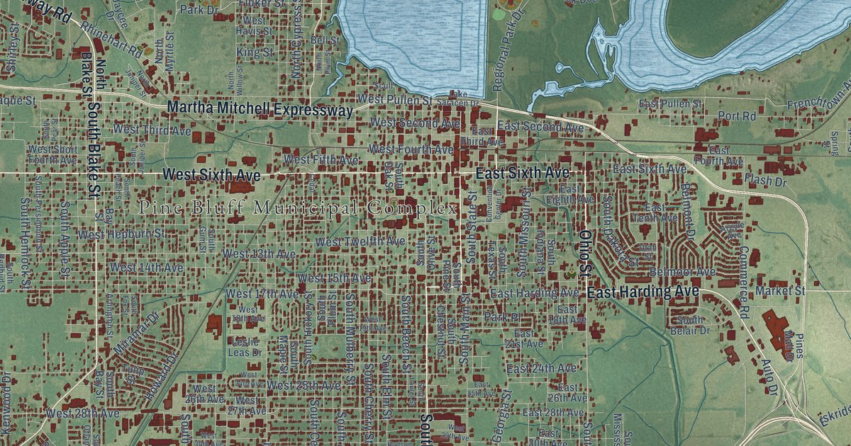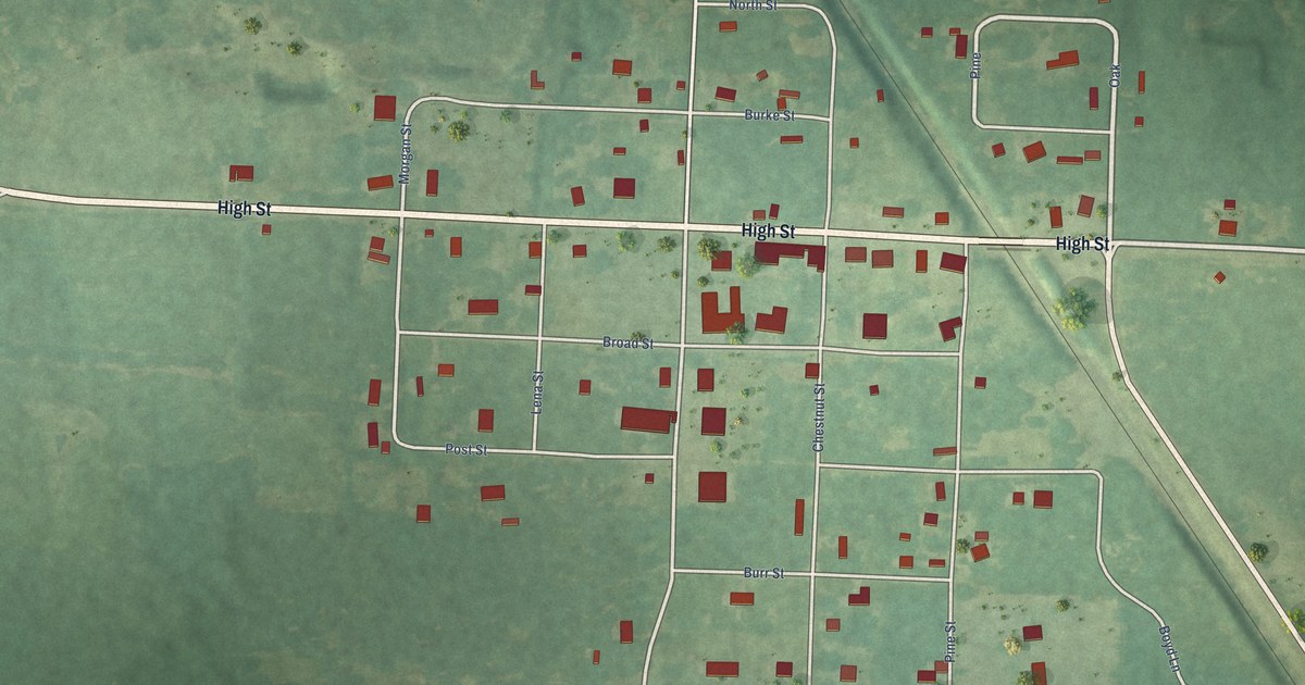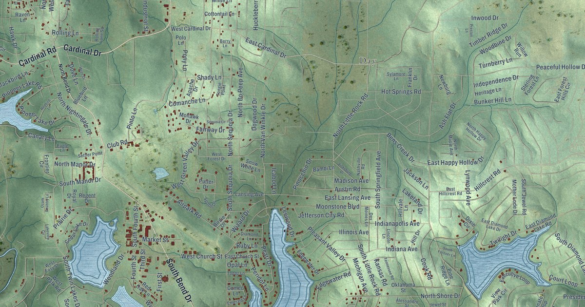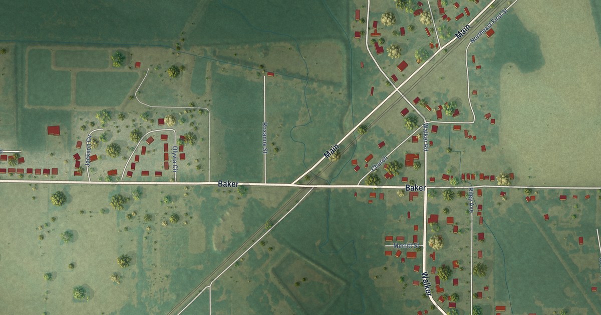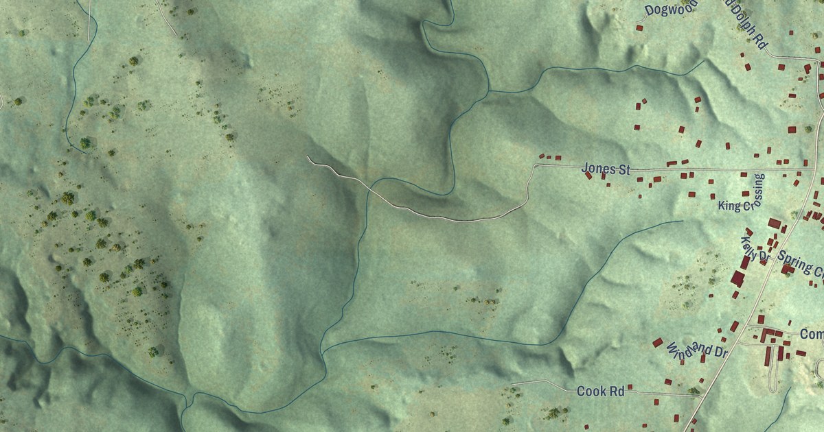
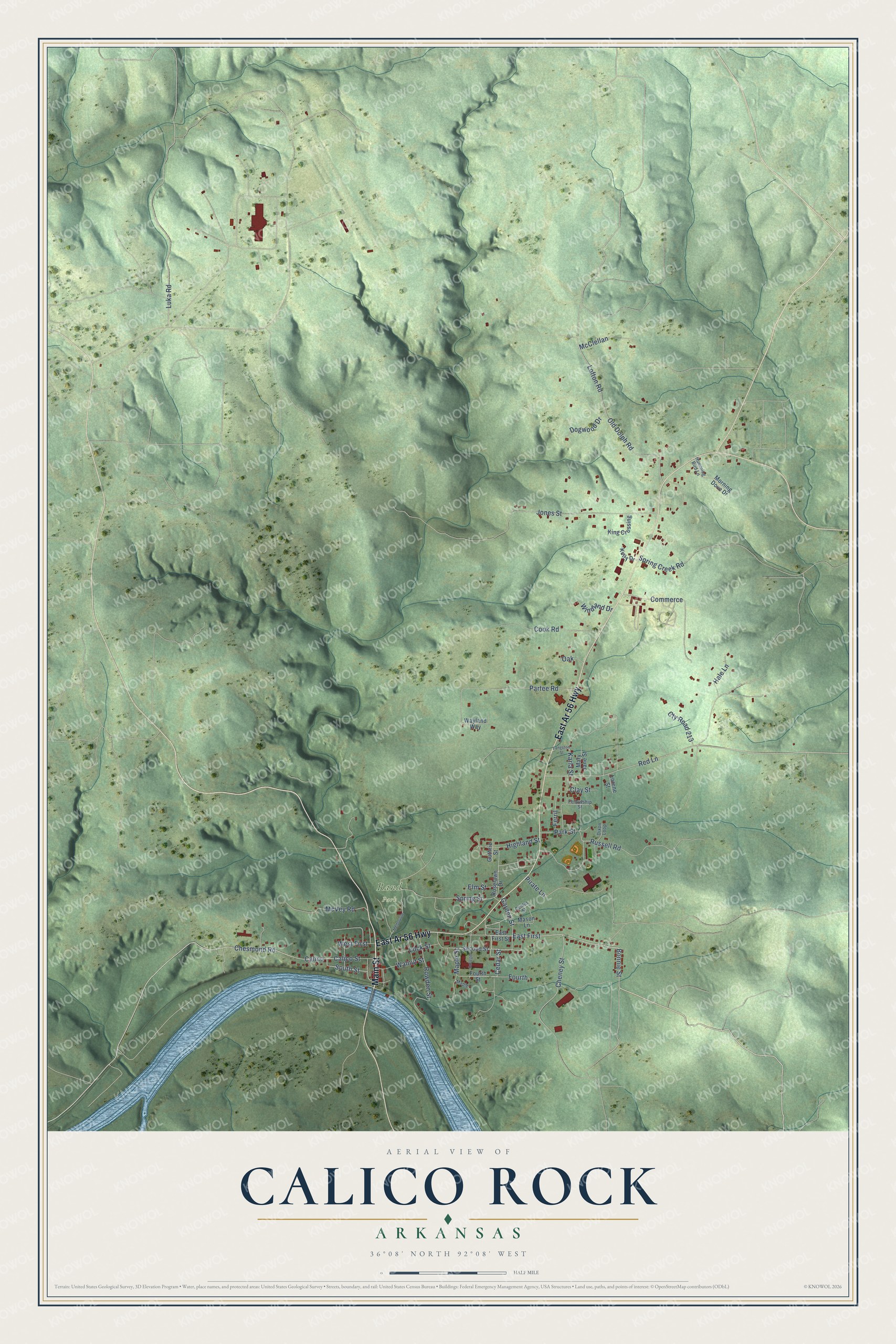
This beautifully detailed map of Calico Rock, Arkansas was created in 2026 using aerial imagery combined with modern topographical, census, street and landmark data. It's a modern aerial view of Calico Rock in Izard County, Arkansas, that combines modern data with a vintage aesthetic. The roads feature printed names, and if you look closely you can find your exact house accurately shown in its correct location.
Explore an aerial view of Calico Rock, Arkansas
On this map you'll find Rand Park, Main Street, East Ar 56 Highway, East First, Cedar Street, South Street, Calico, Chesmond Road, Elm Street, Karla Street, Red Lane, Fourth, and more. Each red shape is a building, so zoom in on the preview and look for yours.
Here is a piece of Calico Rock history, in the words of the record. The CALS Encyclopedia of Arkansas puts it this way: "Calico Rock, located on the White River in Izard County, developed as a steamboat landing originally known as Calico Landing. Keelboats had worked the upper White River as early as 1820, followed by paddle wheelers carrying merchandise and passengers from as far away as New Orleans, Louisiana."
Calico Rock is a city in Izard County.
Take a closer look at the Calico Rock map
Names on this map
These names are printed on this map.
Places: Rand Park.
Streets and roads: Main Street, East Ar 56 Highway, East First, Cedar Street, South Street, Calico, Chesmond Road, Elm Street, Karla Street, Red Lane, Fourth, Maple Street.
More street names, A to Z
Bonnie Street, Calico Street, Center Street, Cheney Street, Clay Street, College, Commerce, Cook Road, Cty Road 213, Dixon Loop, Dogwood Drive, East First Street, Fellowship Street, Ferril, Fourth Street, Garden Street, Guthrie Street, Hale Lane, Highland Street, Humming Bird Lane, Jones Street, Kelly Drive, King Crossing, Langston Street, Lock Street, Lofton Road, Lorene Street, Luka Road, Maple, Mary Jane Street, Mason Lane, McClellan, McVey Road, Melbourne, Morning Dove Drive, Oak, Old Dolph Road, Park Street, Partee Road, Pirate Lane, Roselawn Drive, Rowden Street, Russell Road, Second Street, Spring Creek Road, Spring Street, Walnut Street, Wayland Way, West First, Windland Drive.
Created by KNOWOL in 2026. The buildings are small red shapes, the roads carry their printed names, and shaded relief shows the shape of the land. The title panel reads "AERIAL VIEW OF CALICO ROCK ARKANSAS" with 36°08' NORTH 92°08' WEST.
It suits a den, a classroom or a front hall, and it makes a gift for anyone with Calico Rock roots. Open the preview and find the block you know. See sizes and frames for the Calico Rock map.