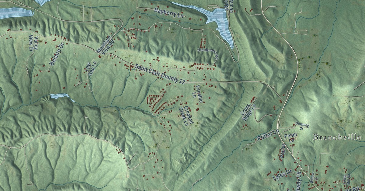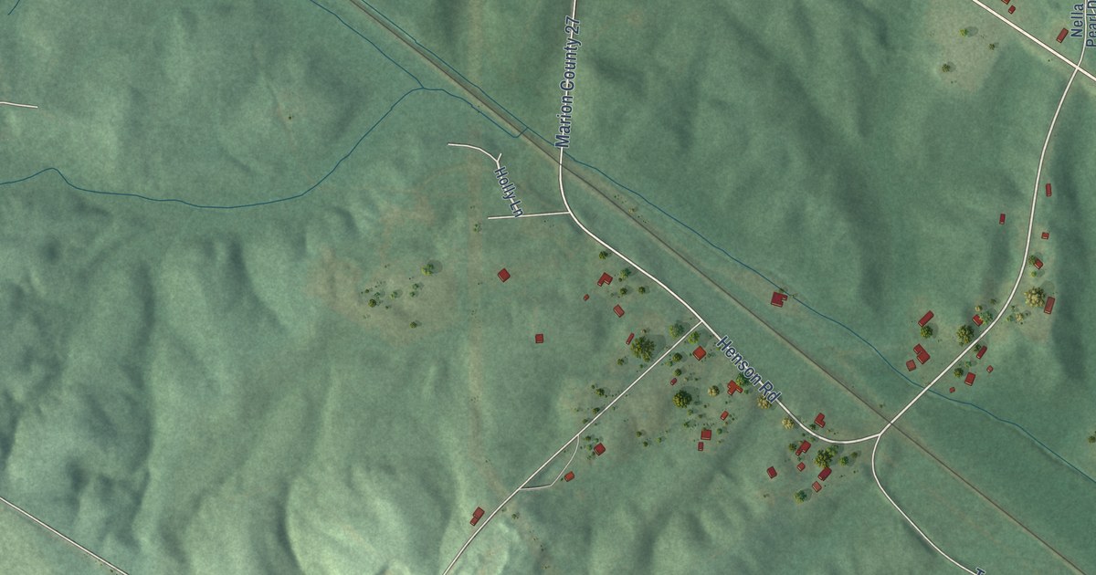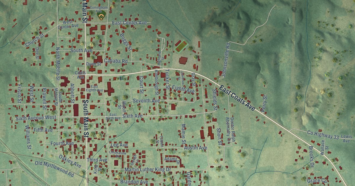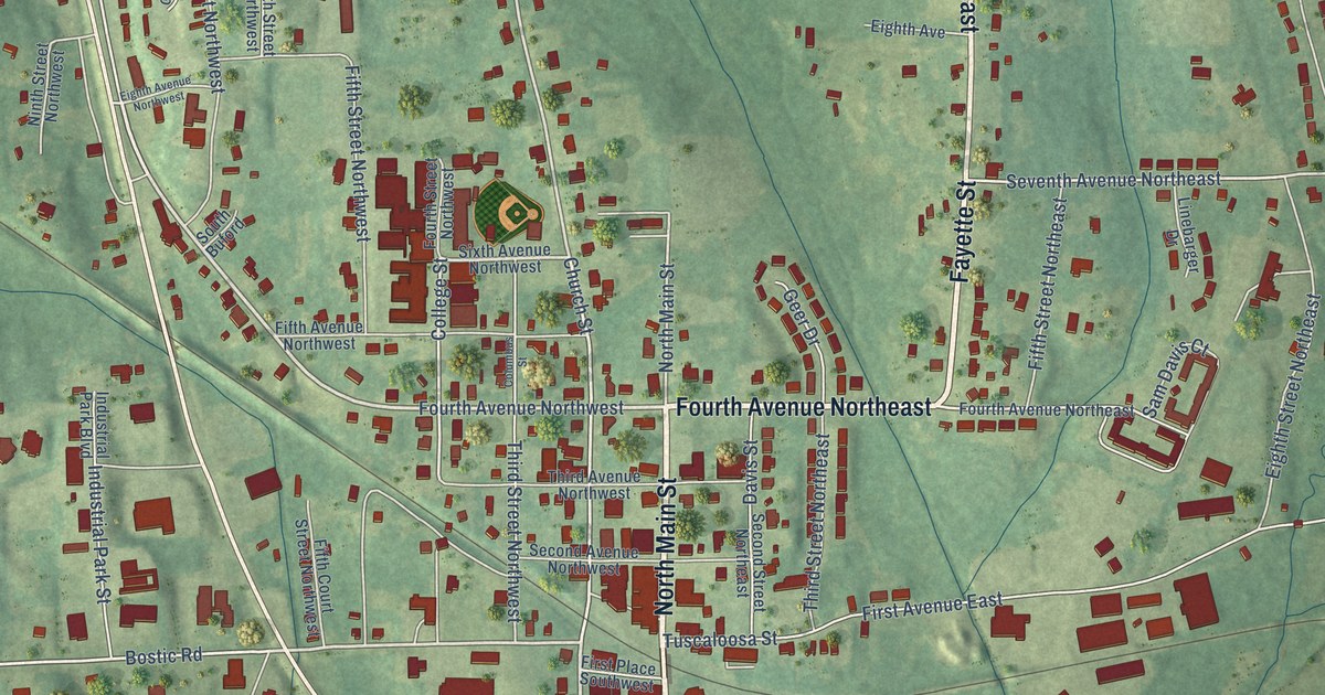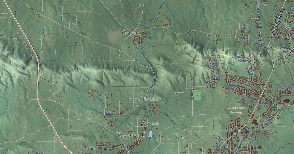
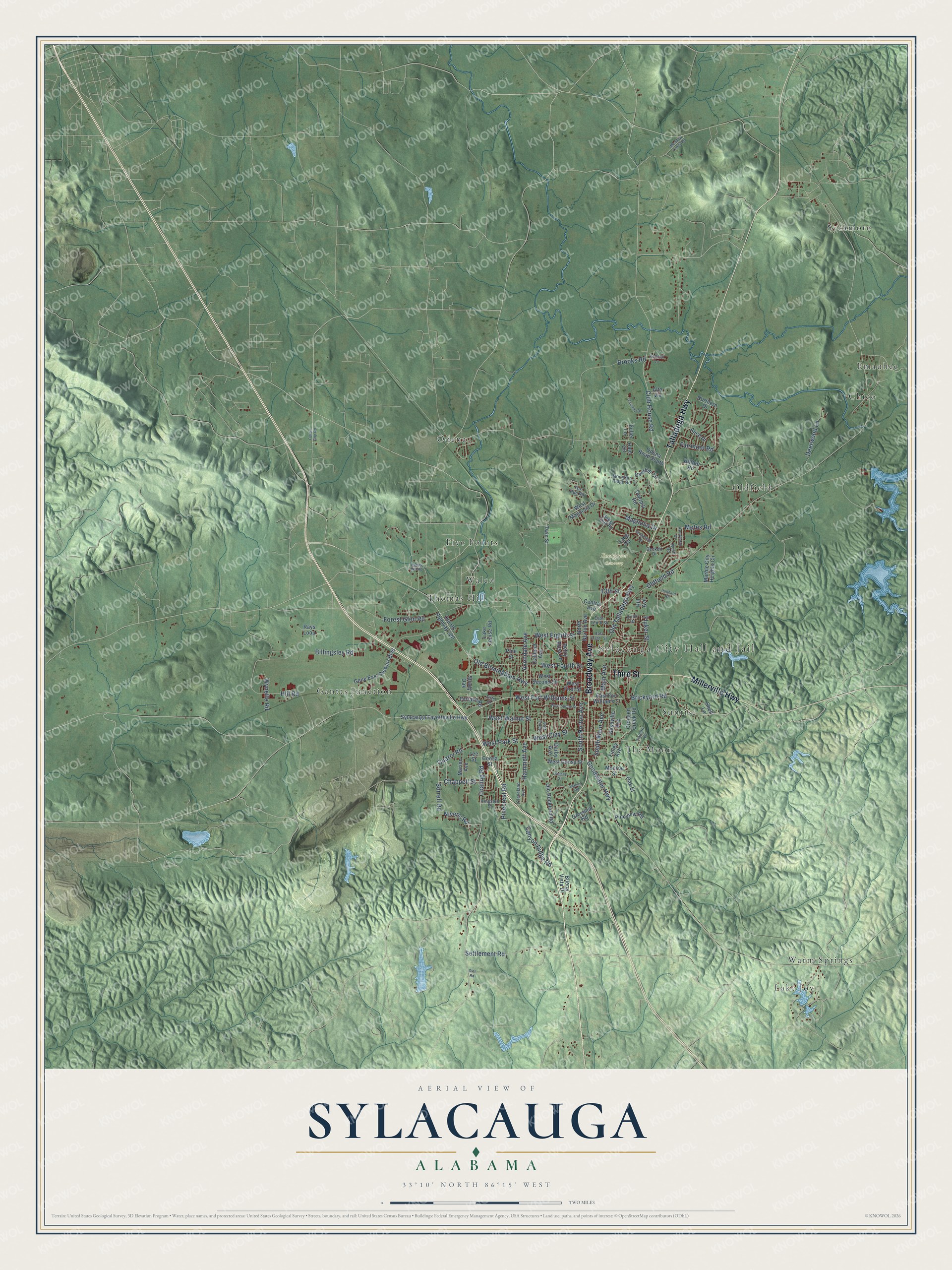
This beautifully detailed map of Sylacauga, Alabama was created in 2026 using aerial imagery combined with modern topographical, census, street and landmark data. It's a modern aerial view of Sylacauga in Talladega County, Alabama, that combines modern data with a vintage aesthetic. The roads feature printed names, and if you look closely you can find your exact house accurately shown in its correct location.
Explore an aerial view of Sylacauga, Alabama
On this map you'll find Sylacauga City Hall and Jail, Evergreen Cemetery, Chico, Emauhee, Five Points, Gantts Junction, Lake Joy, Odena, Oldfield, Sunrise, Sycamore, The Moon, and more. Each red shape is a building, so zoom in on the preview and look for yours.
Sylacauga has a story worth telling. The record at encyclopediaofalabama.org puts it this way: "Marble Quarry, 1935 As in the rest of the South, the Civil War disrupted Sylacauga's commercial development, but after the Eastern Alabama Railway extended its line to Gantt's Junction in 1886, the local economy again began to thrive."
Sylacauga is a city in Talladega County. The Census Bureau counted 12,578 people here in 2020.
Take a closer look at the Sylacauga map
Names on this map
These names are printed on this map.
Places: Sylacauga City Hall and Jail, Evergreen Cemetery, Chico, Emauhee, Five Points, Gantts Junction, Lake Joy, Odena, Oldfield, Sunrise, Sycamore, The Moon, Thomas Hill, Walco and Warm Springs.
Streets and roads: Broadway Avenue, Talladega Highway, Third Street, Millerville Highway, Brickyard Road, Sorrell Road, Nivens Road, Oldfield Road, West Fort Williams Street, West Park Street, Coaling Road, Billingsley Road.
More street names, A to Z
13th Street, Alice Drive, Alta Vis, Arrowhead Drive, Ashton Lane, Avondale Avenue, Beckett Drive, Betsy Ross Lane, Brooks Road, Buena Vista Drive, Canyon Ridge Road, Central Avenue, Chappell Street, Cleveland Avenue, Club House Road, Cook Drive, Coosa Street, Crooked Creek Road, Darby Avenue, Davis Avenue, Deerwood Lane, East Eighth Street, East Fort Williams Street, East Tenth Street, Fairmont Road, Fairway Drive, Falcon Lane, Finley Avenue, Fitts Drive, Fluker Street, Forest Glen Road, Fox Run Road, Fuller Lane, Fulton Gap Road, Gene East Stewart Boulevard, Goodwater Highway, Greenhill Road, Hale Circle, Hammett Avenue, Hill Avenue, Hill Road, Hilltop Road, Hubbard Road, Kingston Street, Lake Louise Road, Lang Road, Lee Street, Lindsey Street, Magnolia Drive, Main Avenue, Marble City Heights Circle, Marion Avenue, Meadow Creek Road, Monroe Street, Motes Road, Mountain Ridge Road, Nashville Avenue, Northern Drive, North Norton Avenue, Oakland Avenue, Oak Street, Odena Road South, Odens Mill Road, Old Birmingham Highway, Old Rockford Road, Old Talladega Highway, Old US Highway 280, Overhill Circle, Overhill Road, Pinecrest Road, Pine Street, Pineview Road, Quarry Road, Rays Loop, Rush Road, Sedgefield Drive, Sedge Field Road, Settlement Road, Shady Oak, Shell Lane, South Main Avenue, South Norton Avenue, Star Road, Sylacauga Fayetteville Highway, Terrace Road, Twin Street, Walnut Road, West Clay Street, West Coosa Street, West Eighth Street, West First Street, West Fourth Street, West Magnolia Drive, West Second Street, West Spring Street, West Walnut Street, Wynette Road.
Created by KNOWOL in 2026. The buildings are small red shapes, the roads carry their printed names, and shaded relief shows the shape of the land. The title panel reads "AERIAL VIEW OF SYLACAUGA ALABAMA" with 33°10' NORTH 86°15' WEST.
It looks right in a kitchen, an office or a den, and it's a gift for anyone who grew up in Sylacauga or moved away. Open the preview and find your street. See sizes and frames for the Sylacauga map.