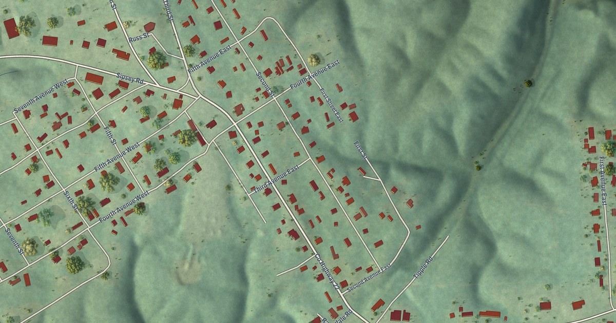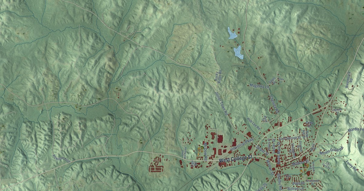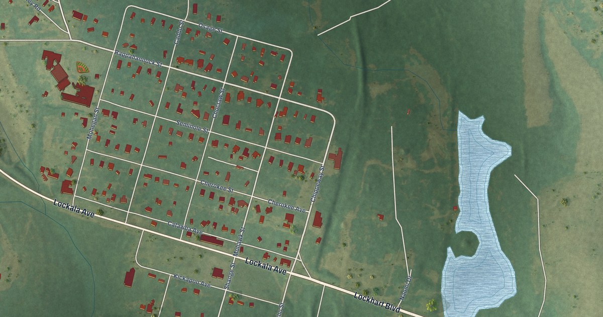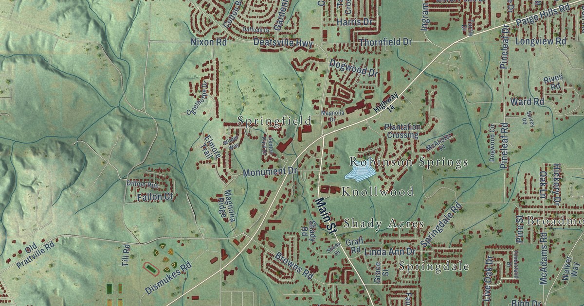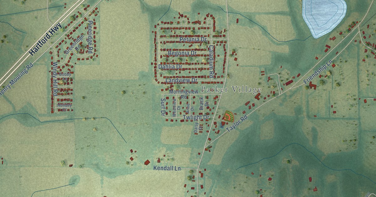
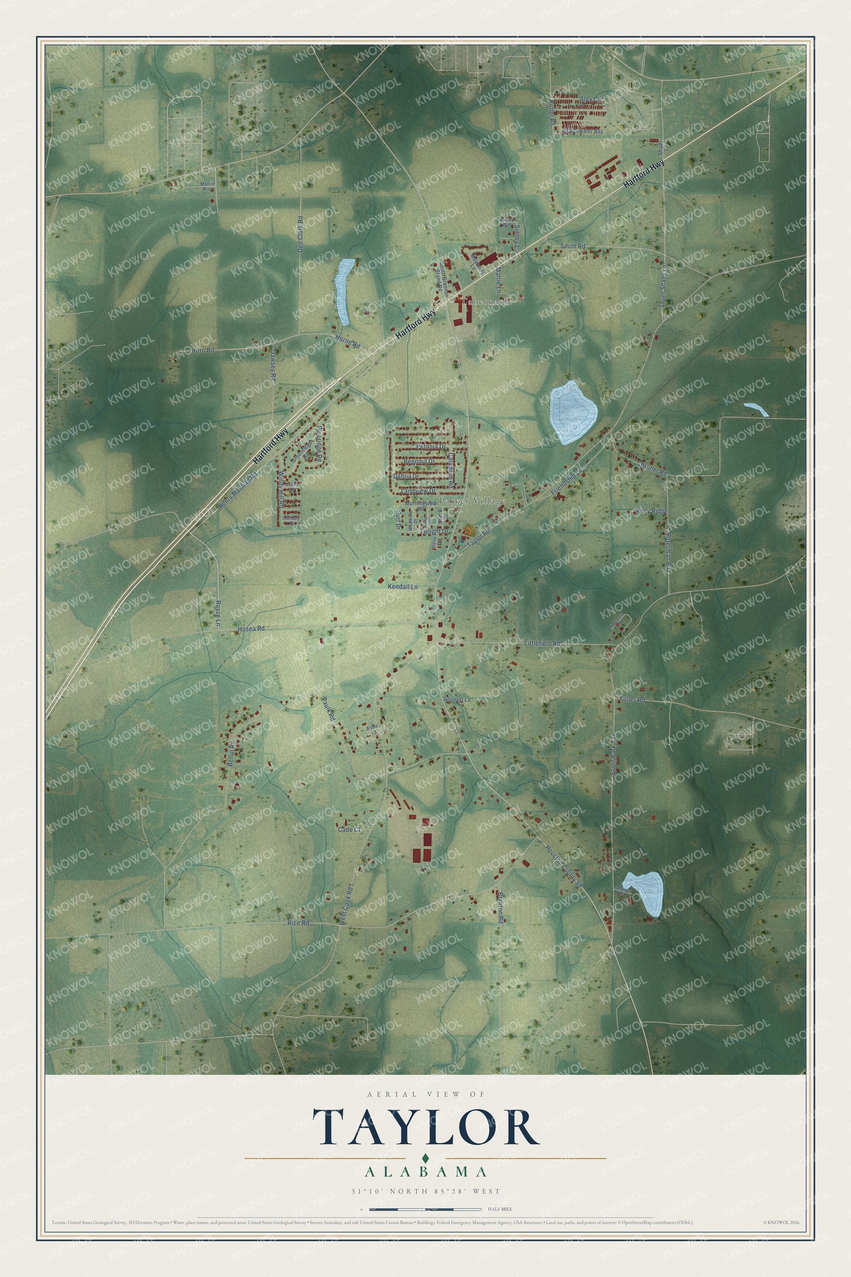
This beautifully detailed map of Taylor, Alabama was created in 2026 using aerial imagery combined with modern topographical, census, street and landmark data. It's a modern aerial view of Taylor in Houston County, Alabama, that combines modern data with a vintage aesthetic. The roads feature printed names, and if you look closely you can find your exact house accurately shown in its correct location.
Explore an aerial view of Taylor, Alabama
On this map you'll find Tabernacle, Parker Village, Hartford Highway, South Park Avenue, Royce Lane, Henry Mouring Road, Horne Road, Bruner Road, Houston County 59, South Shady Lane, Surf Drive, Rice Road, and more. Each red shape is a building, so zoom in on the preview and look for yours.
Every town has a first chapter, and Taylor is no exception. The record at encyclopediaofalabama.org puts it this way: "Public school students in Taylor attend Houston County schools; no public schools are located within the city limits."
Taylor is a city in Houston County. The Census Bureau counted 2,262 people here in 2020.
Take a closer look at the Taylor map
Names on this map
These names are printed on this map.
Places: Tabernacle and Parker Village.
Streets and roads: Hartford Highway, South Park Avenue, Royce Lane, Henry Mouring Road, Horne Road, Bruner Road, Houston County 59, South Shady Lane, Surf Drive, Rice Road, Taylor Road, West Cook Road.
More street names, A to Z
Alex Circle, Arvie Drive, Begonia Drive, Berlin Road, Bobby Lane, Brack Drive, Branton Road, Bridgewater Bay, Butler Road, Cade Court, Caladium Road, Dahlia Drive, Daisy Drive, Dawsey Road, Dee Clark Road, Essie Lane, Friendship Lane, Fuller Road, Greenridge Road, Grissett Lane, Holiday Court, Horn Road, Hosea Road, Johnson Lane, Kendall Lane, Landview Drive, Littlefield Road, Martin Way, Mattie Lane, Mayberry Lane, Morningview Road, Paulk Road, Peterman Road, Petunia Drive, Pineridge Road, Ridgecrest Loop, Riley Ridge, Shady Lane, Sidney Avenue, Sidney Lane, Smith Road, South Brannon Stand Road, Twlight Drive, Westview Drive, Windy Hill Road.
Created by KNOWOL in 2026. The buildings are small red shapes, the roads carry their printed names, and shaded relief shows the shape of the land. The title panel reads "AERIAL VIEW OF TAYLOR ALABAMA" with 31°10' NORTH 85°28' WEST.
Hang it in the hallway, the office or the cabin, or give it to someone who left Taylor and still calls it home. Open the preview and look for a street you know. See sizes and frames for the Taylor map.