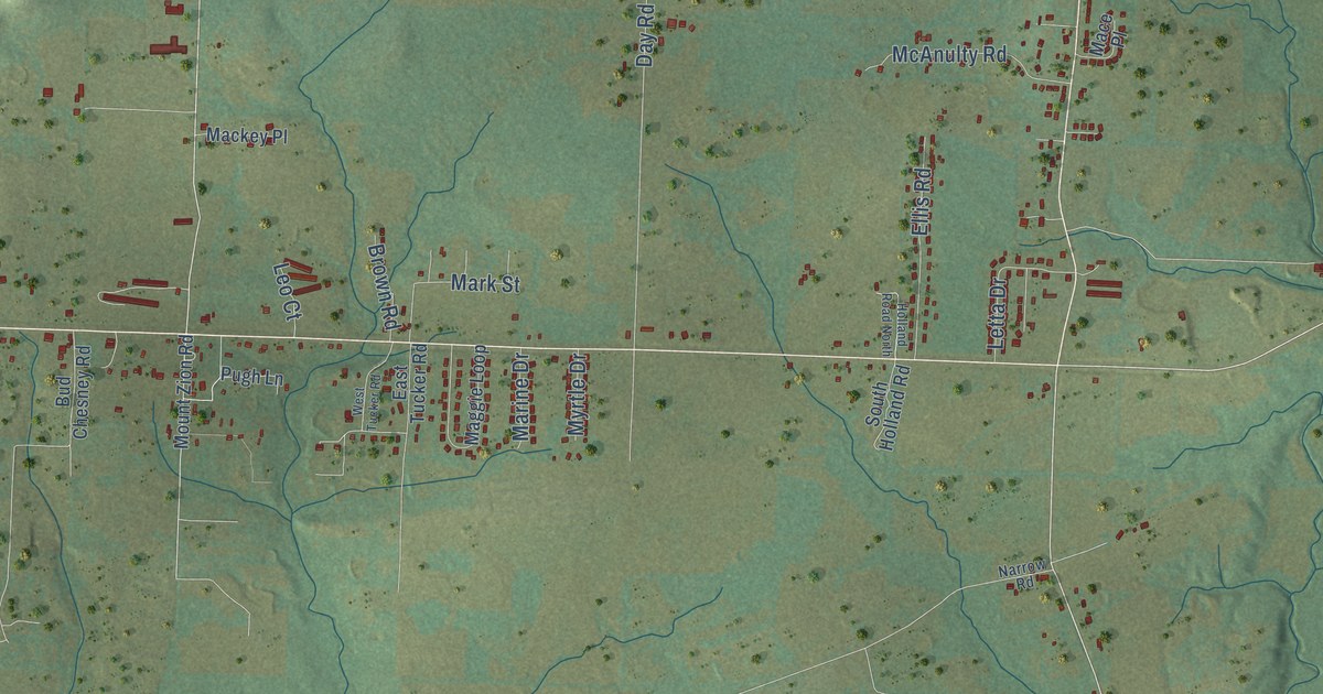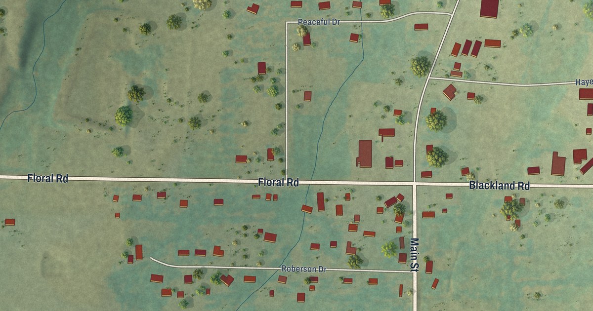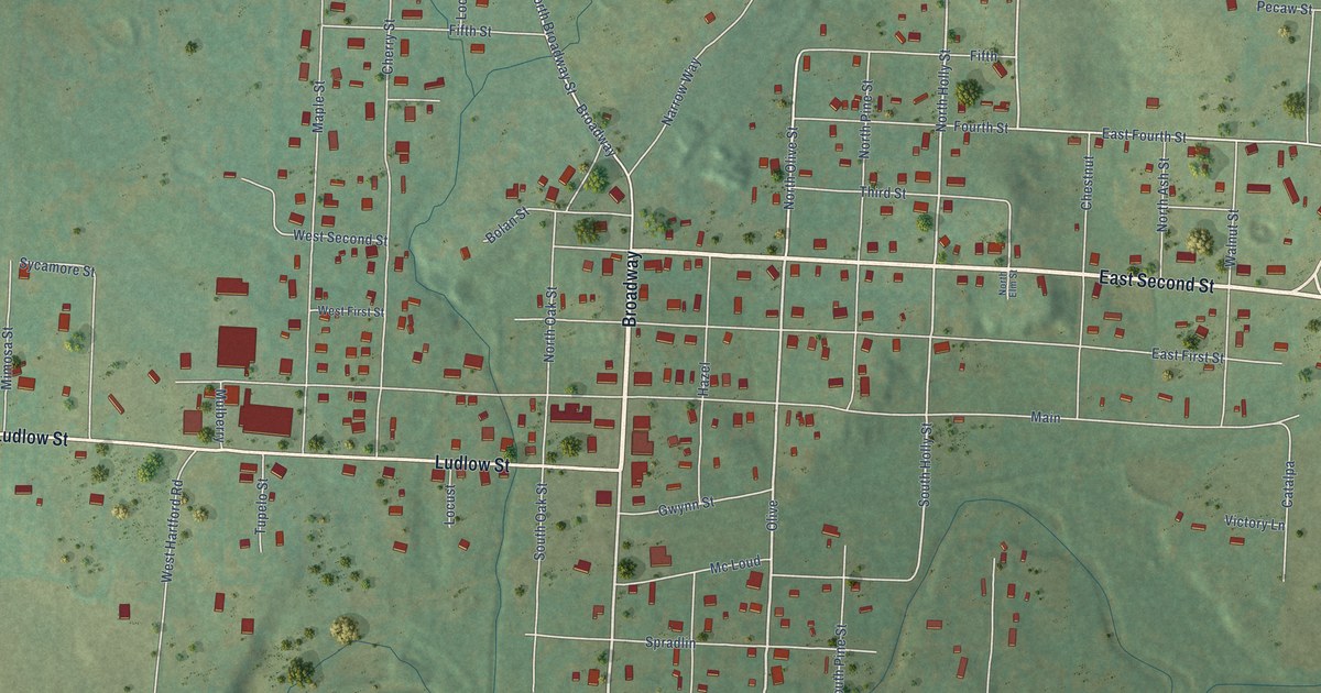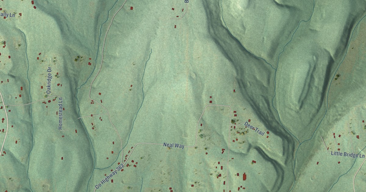
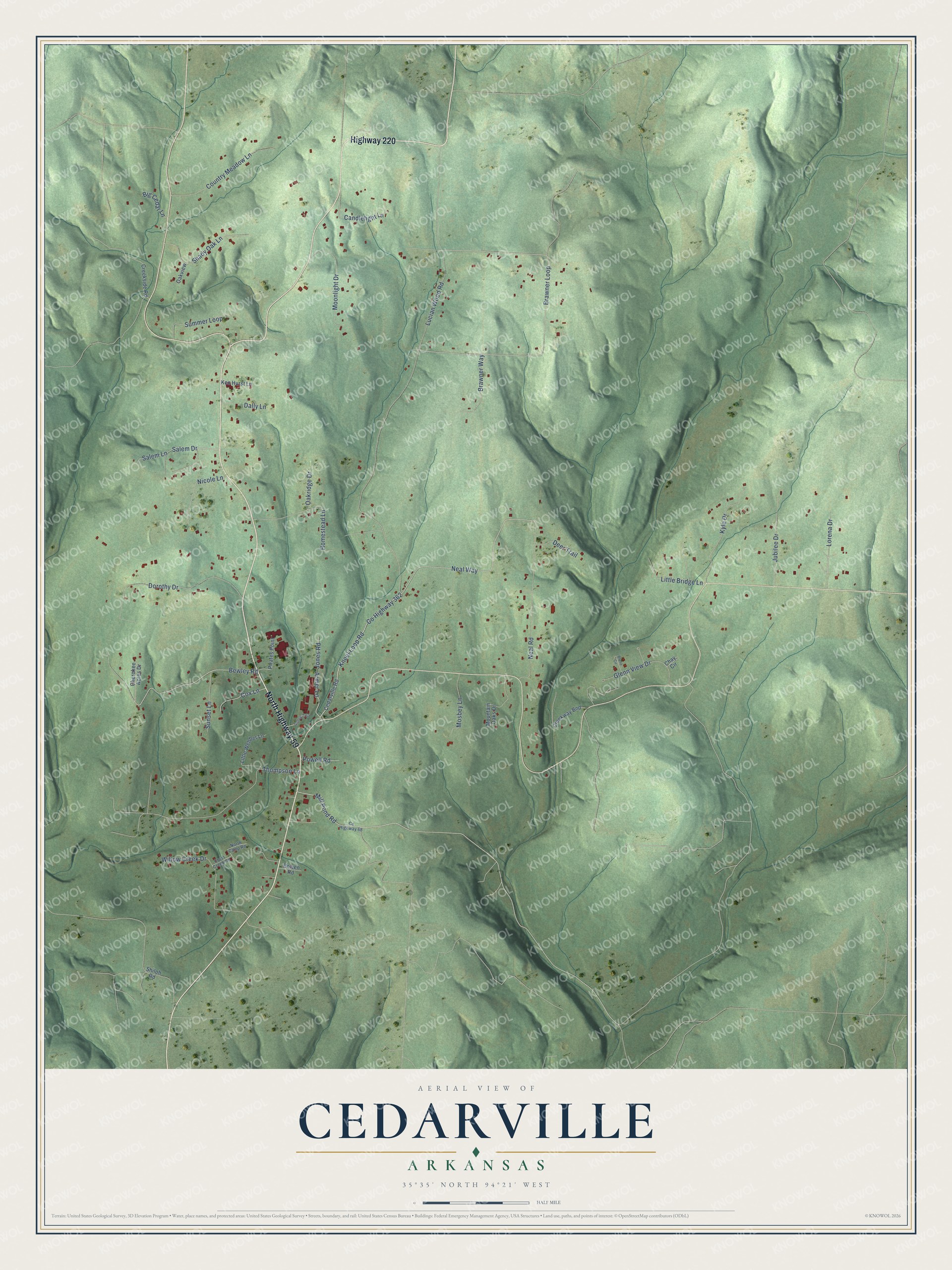
This beautifully detailed map of Cedarville, Arkansas was created in 2026 using aerial imagery combined with modern topographical, census, street and landmark data. It's a modern aerial view of Cedarville in Crawford County, Arkansas, that combines modern data with a vintage aesthetic. The roads feature printed names, and if you look closely you can find your exact house accurately shown in its correct location.
Explore an aerial view of Cedarville, Arkansas
On this map you'll find North Highway 59, Highway 220, Neal Way, Co Highway 362, Kneel Loop Road, Lorena Drive, Bewley Road, Salem Drive, Mill Pond Road, Brawner Loop, Little Bridge Lane, Lucian Wood Road, and more. Each red shape is a building, so zoom in on the preview and look for yours.
Here is a piece of Cedarville history, in the words of the record. The CALS Encyclopedia of Arkansas puts it this way: "Because of the abundance of cedar trees in the area, H. S. Anderson named the town Cedarville. The first post office was established in 1872, with Henry C. Crowell as the first postmaster."
Cedarville is a city in Crawford County.
Take a closer look at the Cedarville map
Names on this map
These names are printed on this map.
Streets and roads: North Highway 59, Highway 220, Neal Way, County Highway 362, Kneel Loop Road, Lorena Drive, Bewley Road, Salem Drive, Mill Pond Road, Brawner Loop, Little Bridge Lane, Lucian Wood Road.
More street names, A to Z
Armer Lane, Big Cedar Lane, Blane Circle, Bowen Road, Brawner Way, Candlelight Lane, Cedarville Road, Chay Circle, Cherokee Acres Drive, Country Meadow Lane, County Highway 68, Cox Lane, Creekside Road, Creekway Bnd, Cross Creek Road, Dally Lane, Deer Trail, Dorothy Drive, Glenn View Drive, Gulley Trail, Homestead Lane, Jones Road, Jubilee Drive, Ken Hurst Lane, Kyle Drive, Little Webber Lane, Moonlight Drive, Mosbey Lane, Mountain Oaks Drive, Neal Road, Nicole Lane, North Camp Road, Oakridge Drive, Oakview, Pirates Point, Powell Road, Salem Lane, Shady Oak Lane, Shiloh Road, Summer Loop, Sunset Lane, Thompson Lane, Willow Creek Drive.
Created by KNOWOL in 2026. The buildings are small red shapes, the roads carry their printed names, and shaded relief shows the shape of the land. The title panel reads "AERIAL VIEW OF CEDARVILLE ARKANSAS" with 35°35' NORTH 94°21' WEST.
It suits a den, a classroom or a front hall, and it makes a gift for anyone with Cedarville roots. Open the preview and find the block you know. See sizes and frames for the Cedarville map.