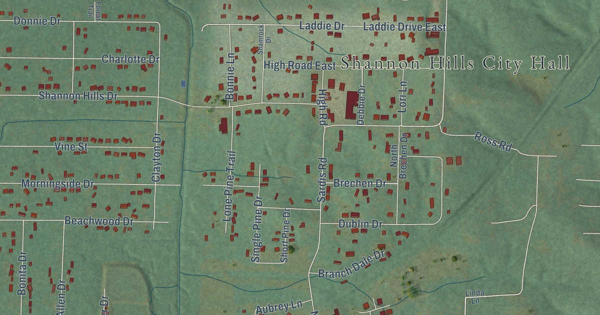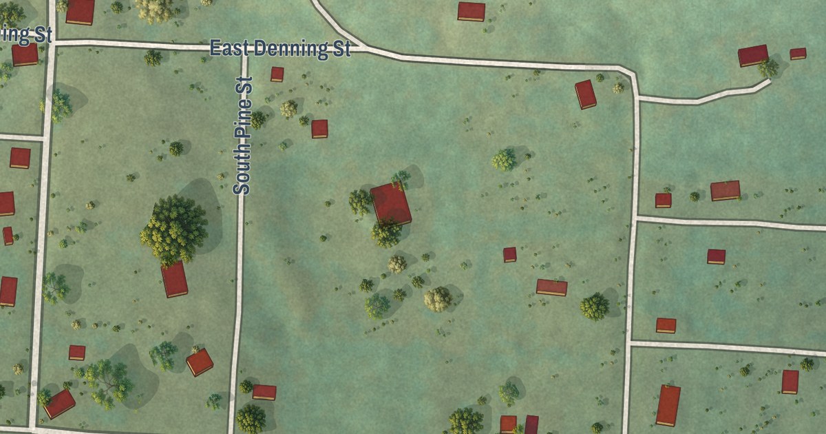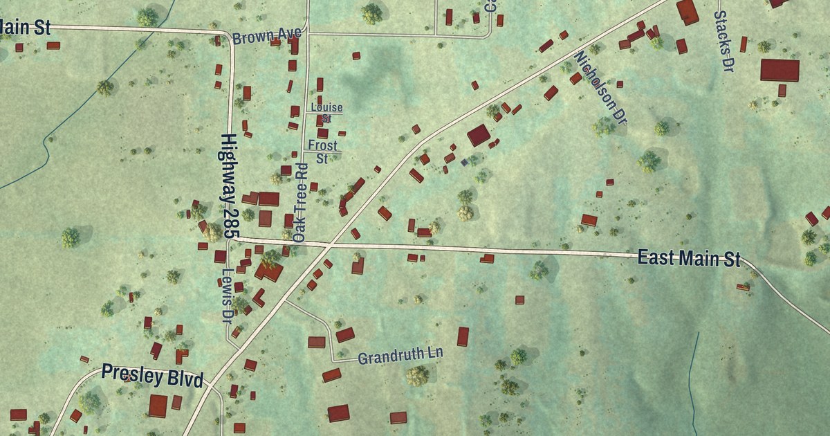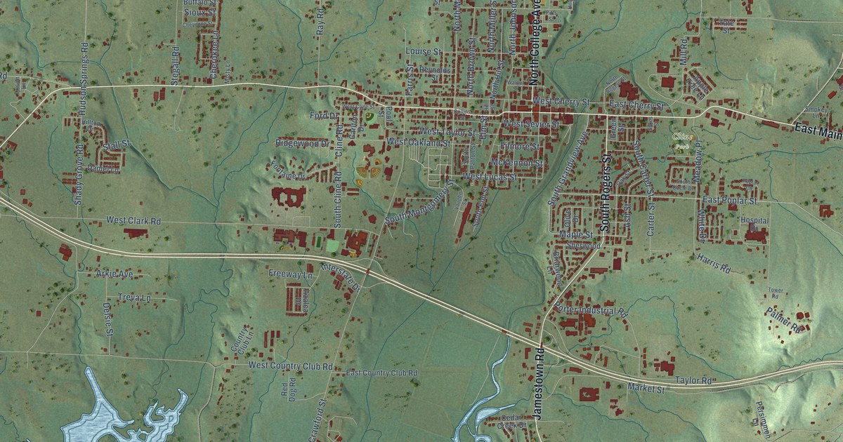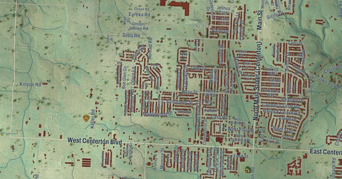
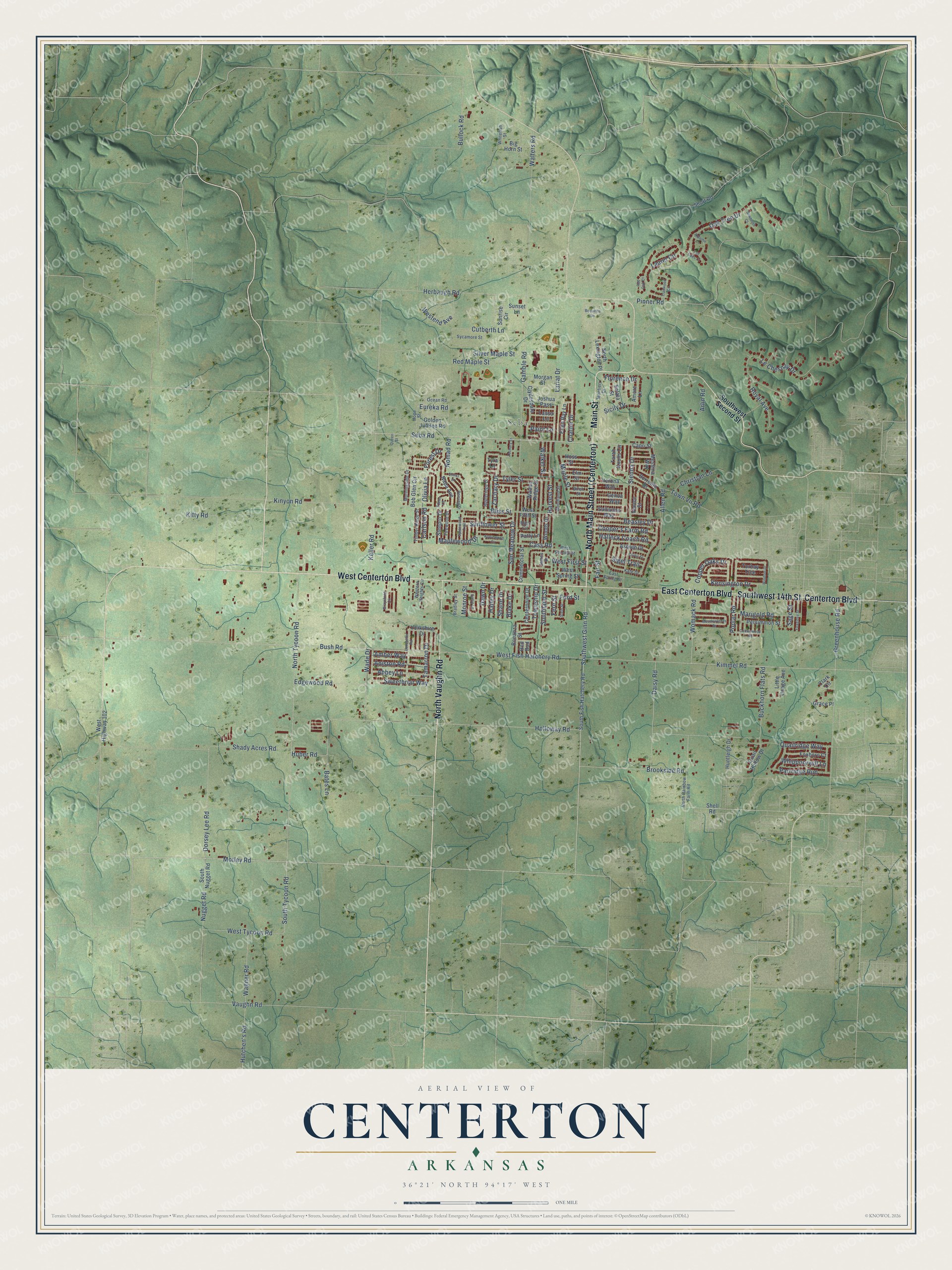
This beautifully detailed map of Centerton, Arkansas was created in 2026 using aerial imagery combined with modern topographical, census, street and landmark data. It’s a one-of-a-kind view of Centerton that combines accurate data with a vintage aesthetic. The map shows every building in its true location, many of the roads carry their names, and the shaded topographic relief shows the shape of the land.
Explore an aerial view of Centerton, Arkansas
On the map you’ll find Seba and North Main Street (Centerton), along with West Centerton Boulevard, Main Street, North Vaughn Road, Centerton Boulevard, East Centerton Boulevard, Southwest 14th Street, Motley Road, Southwest Ginn Road, Seba Road, Town Vu Road, and more. If you look closely you can even find your house accurately drawn in its correct location. Zoom in on the preview to look for yours.
Did you know this piece of Centerton, Arkansas history?
From the CALS Encyclopedia of Arkansas: "When the community sought incorporation, citizens learned that the name Center Point was already being used by a city in Howard County, so the name was changed to Centerton."
Centerton is a city in Benton County.
Take a closer look at the Centerton map
Street and place names on the Centerton, Arkansas map
These names are printed on the map of Centerton, Arkansas.
Places: Seba.
Streets and roads: West Centerton Boulevard, Main Street, North Vaughn Road, Centerton Boulevard, East Centerton Boulevard, Southwest 14th Street, Motley Road, Southwest Ginn Road, Seba Road, Town Vu Road, West Fish Hatchery Road, Bush Road.
More street names, A to Z
Abbey Lane, Allen Road, Amber Way, Amore Lane, Aniston Road, Appleridge Drive, Applewood Circle, Arlin Road, Asboth Drive, Autumn Lane, Bates Lane, Beasley Drive, Bequette Lane, Big Horn Street, Birch Street, Blake Drive, Bliss Circle, Bliss Street, Bob Glen Circle, Bonanza Street, Bradley Street, Brookside Road, Buckhorn Flats Road, Bullock Road, Callie Lane, Capri Street, Carlson Road, Cass Road, Centerpoint Drive, Chattie Drive, Christian Lane, Clark Circle, Clydesdale Drive, Commercial Street, Cooper's Farm Road, Copper Oaks Drive, Cottonwood Road, Curtis Street, Cutberth Lane, Daisy Road, Dawn Drive, Dorsey Lee Road, East Spring Street, Edens Court, Edgewood Road, Ellen Ray Lane, Elm Street, Eureka Road, Fair Street, Fern Street, Firewood Drive, Florence Drive, Ford Street, Forest Drive, Foxboro Court, Foxglove Street, Gamble Road, Genoa Way, Golden Jubilee Road, Grace Place, Graystone Circle, Greenhouse Road, Hailey Drive, Halleck Coach Road, Harvest Street, Herbaugh Road, Holloway Road, Hope Street, Hoss Street, Huber Road, Huntleigh Drive, Hutchen's Road, James Drive, Joshua Pass, Kate Drive, Keller Road, Kensington Drive, Kimmel Road, Kinyon Road, Kitty Road, Lancaster Road, Lariat Drive, Lasso Lane, Laurel Circle, Le Chesnay Drive, Little Osage Avenue, Maple Street, Maplewood Drive, Marigold Road, Meadowlands Drive, Messina Way, Monroe Street, Montieri Drive, Morgan Street, Morningside Drive, Napa Avenue, Nomad Road, North Lexington Place, North Rainbow Farm Road, North Tycoon Road, Nugget Road, Oak Tree Drive, Ocean Road, Olivia Lane, Paint Lane, Partridge Run, Patty Lane, Persimmon Street, Pinner Road, Poplar Road, Quail Hollow Drive, Quailridge Way, Queen Street, Red Bud, Red Maple Street, Red Oak Court, Reisling Street, Royal Avenue, Sage Street, Sawtooth Court, Shady Acres Road, Shane Drive, Shell Road, Shiraz Drive, Short Road, Sicily Drive, Sienna Drive, Sigel Trail, Silver Maple Street, Solata Street, Sorrento Drive, South Fish Hatchery Road, Southland Street, South Nugget Road, South Tycoon Road, Southwest Second Street, Spicewood Trail, Steepro Drive, Stein Street, Sullivans Way, Sunflower Street, Sun Meadow Drive, Sunrise Circle, Sunset Lane, Sweetbriar Way, Sycamore Street, Tall Oaks Court, Tamarron Drive, Tarah Knolls Circle, Timber Ridge Street, Torbay Trce, Township Drive, Trailwood Circle, Tyler Street, Tyra Lane, Vaughn Road, Venice Street, Verona Way, Wade Drive, Wagner Road, Walker Street, Walnut Ridge Street, Walters Road, Westend Avenue, Western Heights Circle, West Fifth Street, West First Street, West Highway 102, West Second Street, West Spring Street, West Tycoon Road, Whippoorwill Lane, Whitefish Street, Windsor Drive, Womack Road, Woodland Street, Woods Drive, Yorkshire Drive, Zachary Drive, Zachary Street.
See the Centerton, Arkansas map on a wall
The Centerton map as an 18 x 24 inch print in a black frame.

This beautifully detailed map of Centerton makes an attractive addition to your office, library, or den, and it can even be used to teach children the geography and history of the area. It also makes a great gift for anyone with Centerton roots. When you’re done exploring, click here to get your copy of the Centerton map.