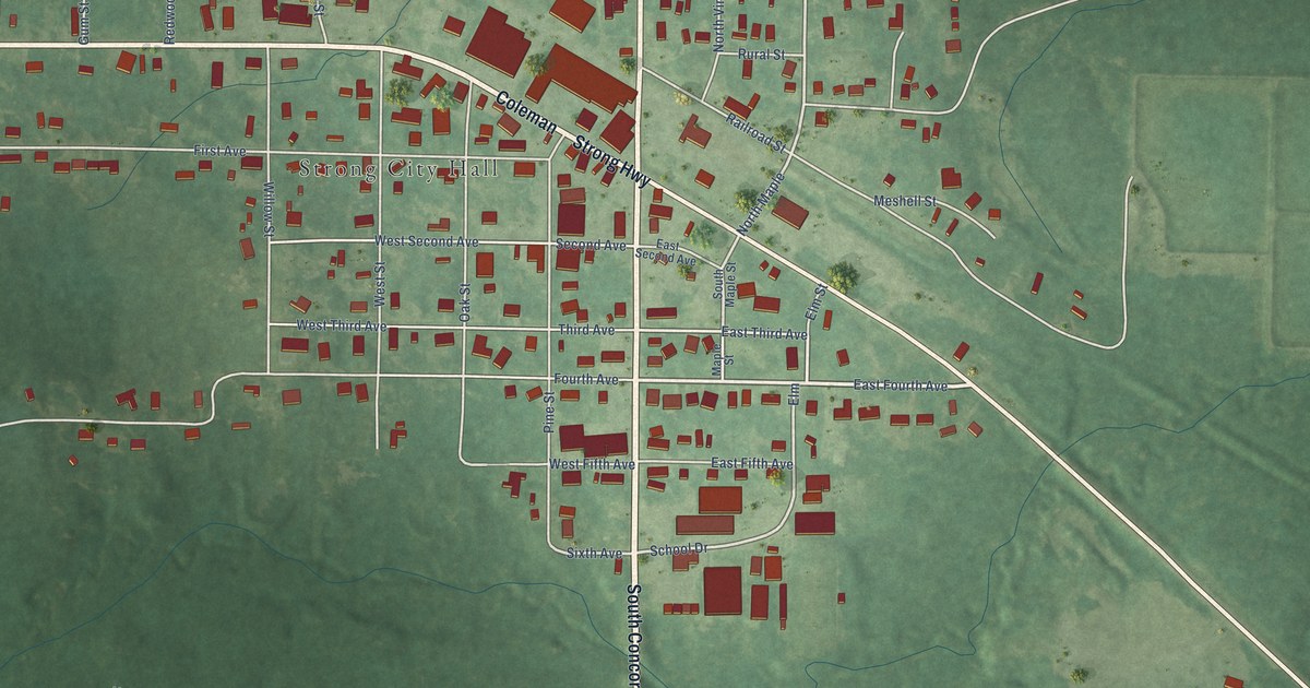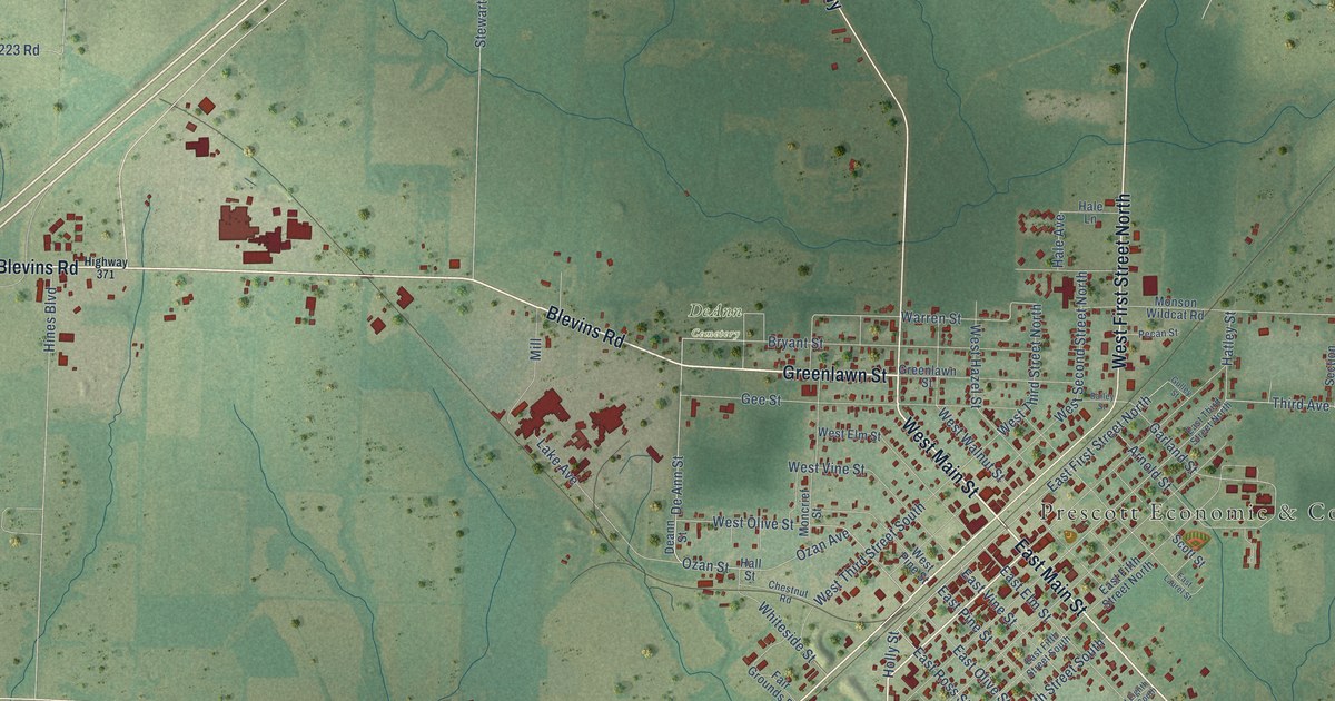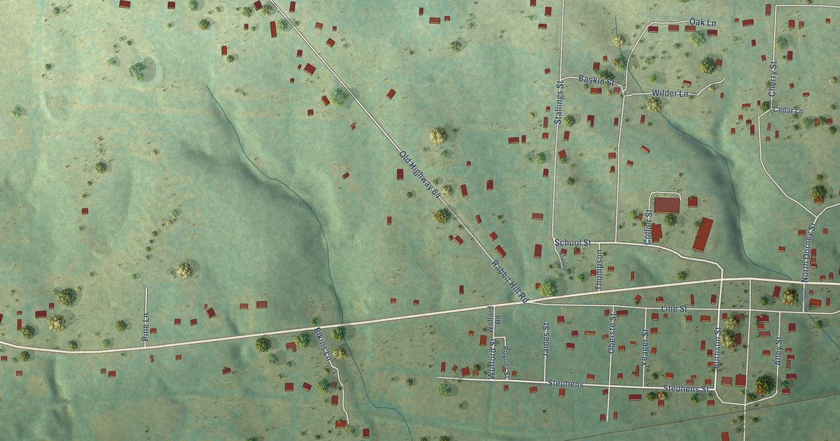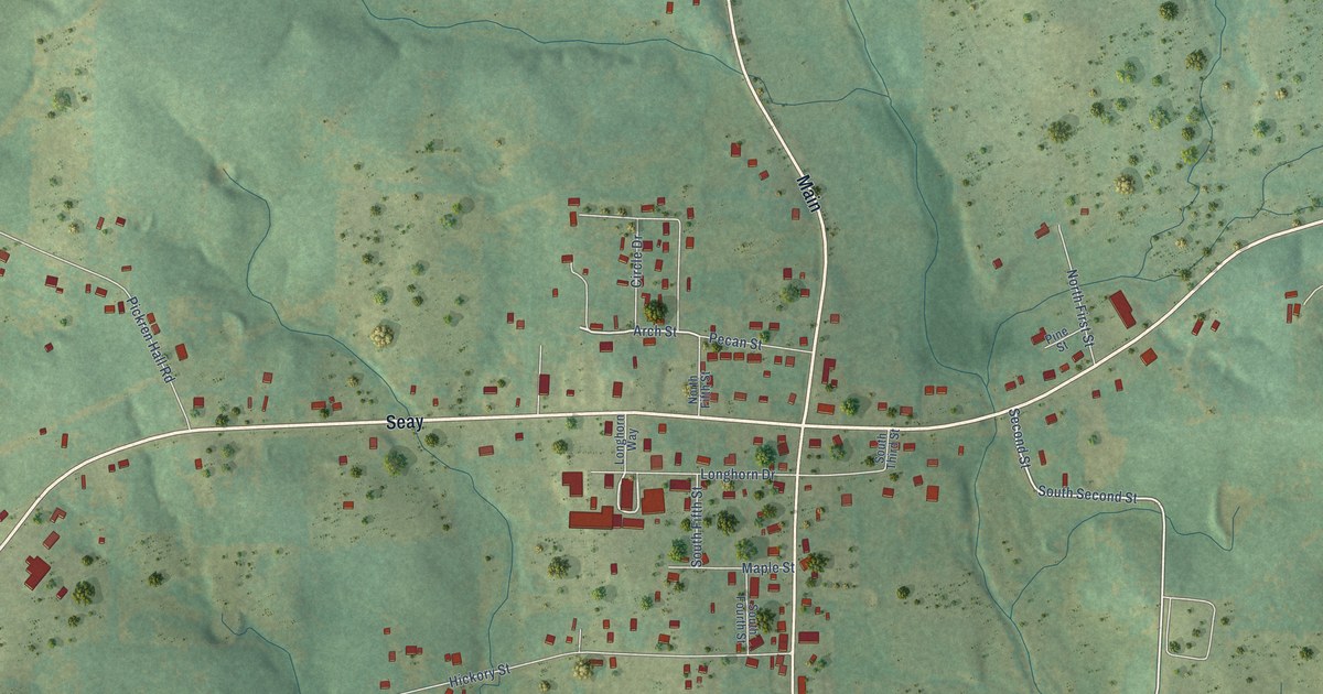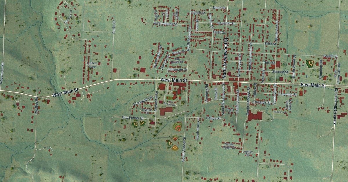
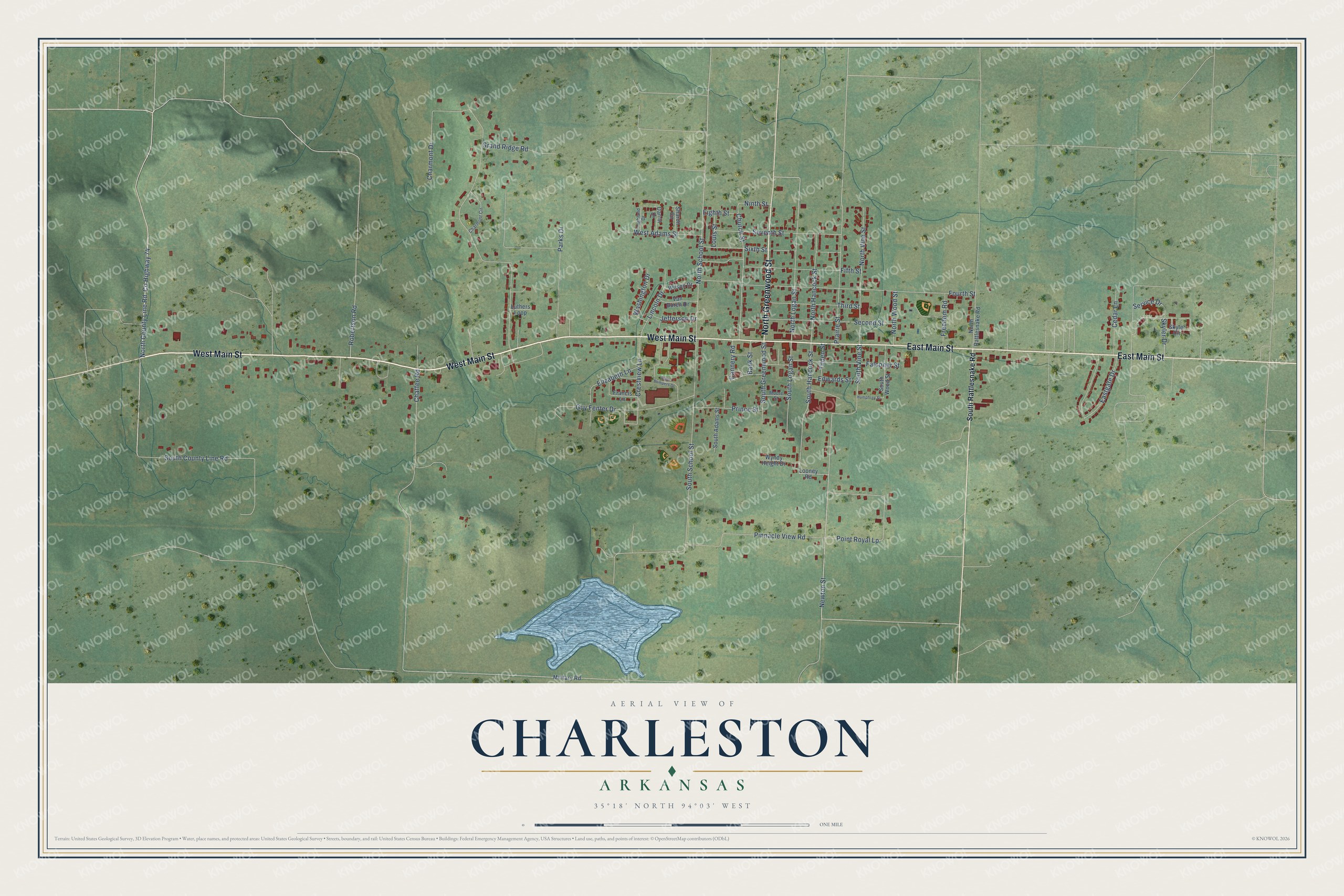
This beautifully detailed map of Charleston, Arkansas was created in 2026 using aerial imagery combined with modern topographical, census, street and landmark data. It's a modern aerial view of Charleston in Franklin County, Arkansas, that combines modern data with a vintage aesthetic. The roads feature printed names, and if you look closely you can find your exact house accurately shown in its correct location.
Explore an aerial view of Charleston, Arkansas
On this map you'll find West Main Street, East Main Street, North Greenwood Street, Co Highway 74, North County Line Road, Skyler Drive, South County Line Road, Newton Street, North School Street, South Greenwood Street, Point Royal Lp, South Hancock Street, and more. Each red shape is a building, so zoom in on the preview and look for yours.
Here is a piece of Charleston history, in the words of the record. The CALS Encyclopedia of Arkansas puts it this way: "Charles Town, as it was then named, was settled in the 1840s by James B. Thaxton, Robert C. Thaxton, and Charles R. Kellam, among others. Kellam, for whom the town was named, was a Free Will Baptist preacher who came to Arkansas from Massachusetts."
Charleston is a city in Franklin County.
Take a closer look at the Charleston map
Names on this map
These names are printed on this map.
Streets and roads: West Main Street, East Main Street, North Greenwood Street, County Highway 74, North County Line Road, Skyler Drive, South County Line Road, Newton Street, North School Street, South Greenwood Street, Point Royal Lp, South Hancock Street.
More street names, A to Z
Bank Street, Cannery Road, Cedar Lane, Chaffee Road, Charmont Circle, Charmont Drive, Church Street, Crestview Lane, Dale Bumpers Drive, Darrin Drive, Eastgate Drive, Edwards Street, Eighth Street, Elizabeth Lane, Falconer Street, Fifth Street, Fourth Street, Francis Lane, Freedom Road, Grand Ridge Road, Guy Fenter Drive, Highland Drive, Humphrey Street, Jefferson Drive, Lincoln Drive, Looney Road, Louis Street, Luthers Loop, Military Road, Moore Street, Ninth Street, North Hancock Street, North Logan Street, North Rattlesnake Road, North Vine Street, North Wood Street, Parks Drive, Pinnacle View Road, Prairie Street, Prince Street, Robertson Road, Second Street, Service Drive, Seventh Street, Sharon Circle, Sixth Street, Skyler Circle, South Adams Street, South Logan Street, South Rattlesnake Road, South School Street, South Vine Street, South Wood Street, Third Street, Tilden Street, Van Buren Drive, Washington Drive, West Adams Street, Wilson Drive, Wyndy Height Drive.
Created by KNOWOL in 2026. The buildings are small red shapes, the roads carry their printed names, and shaded relief shows the shape of the land. The title panel reads "AERIAL VIEW OF CHARLESTON ARKANSAS" with 35°18' NORTH 94°03' WEST.
It suits a den, a classroom or a front hall, and it makes a gift for anyone with Charleston roots. Open the preview and find the block you know. See sizes and frames for the Charleston map.