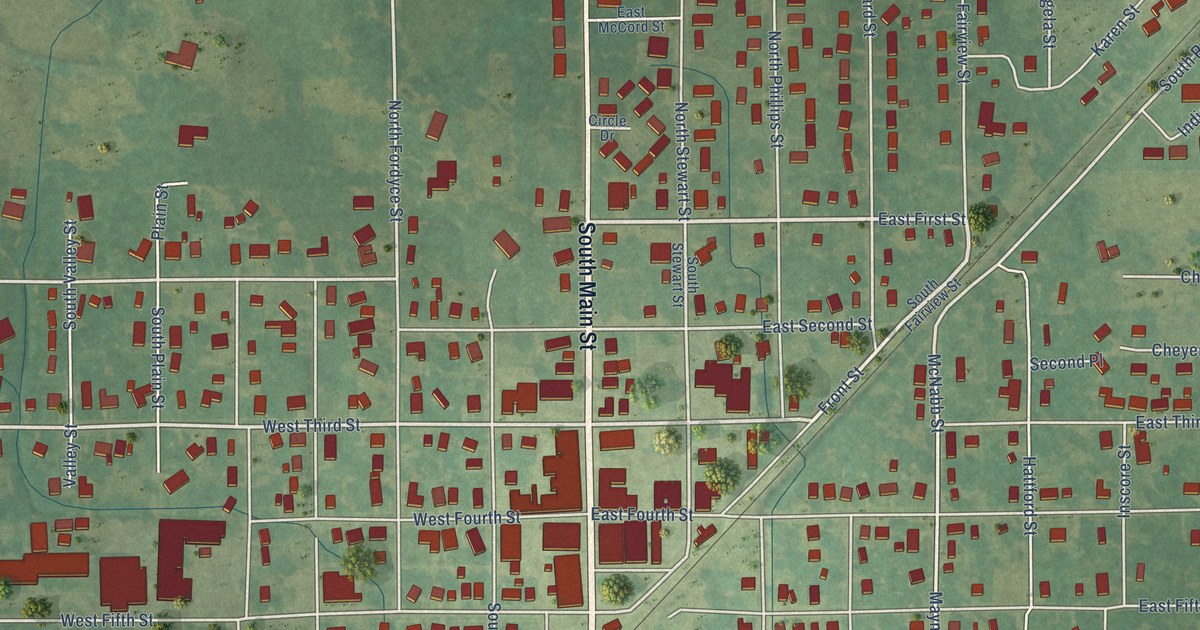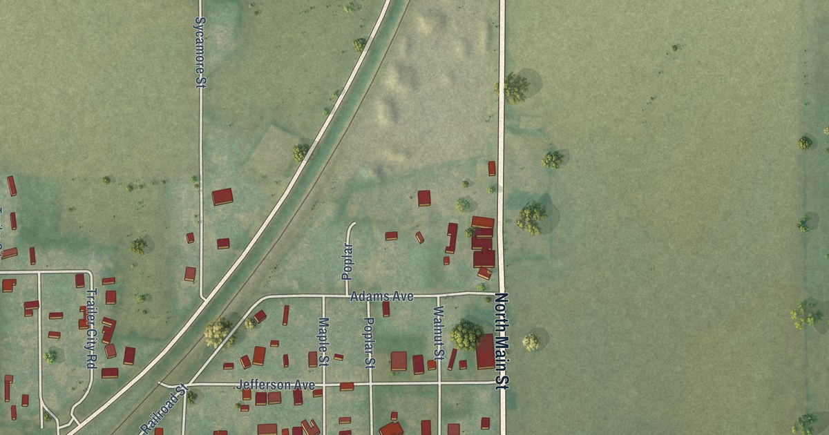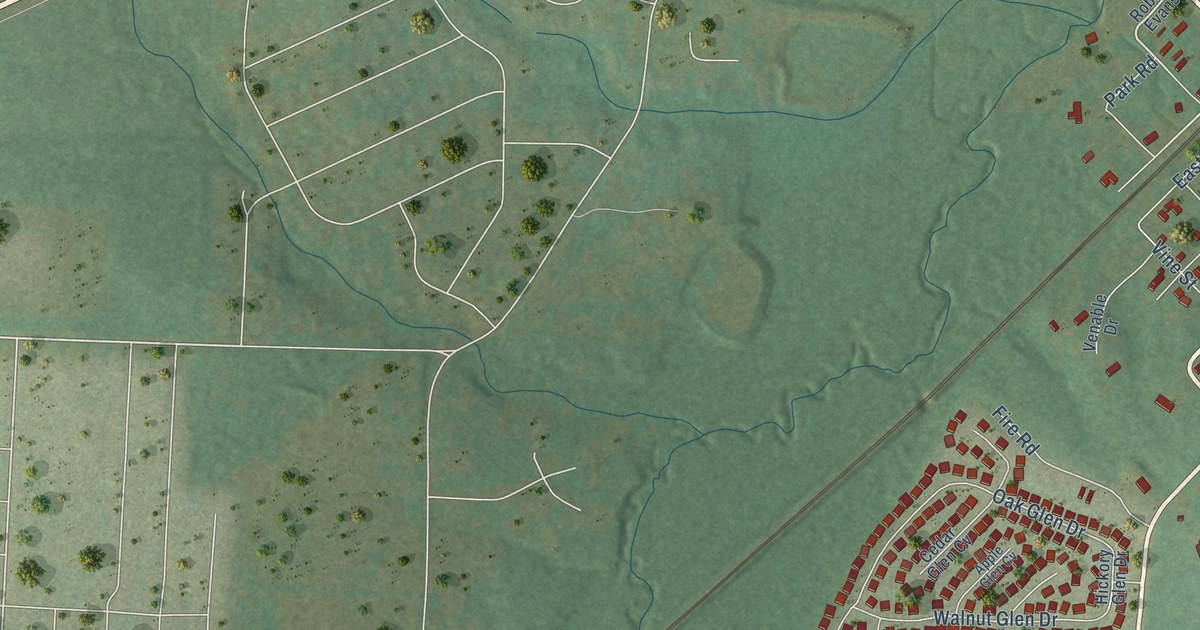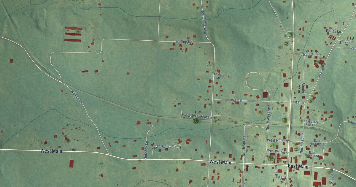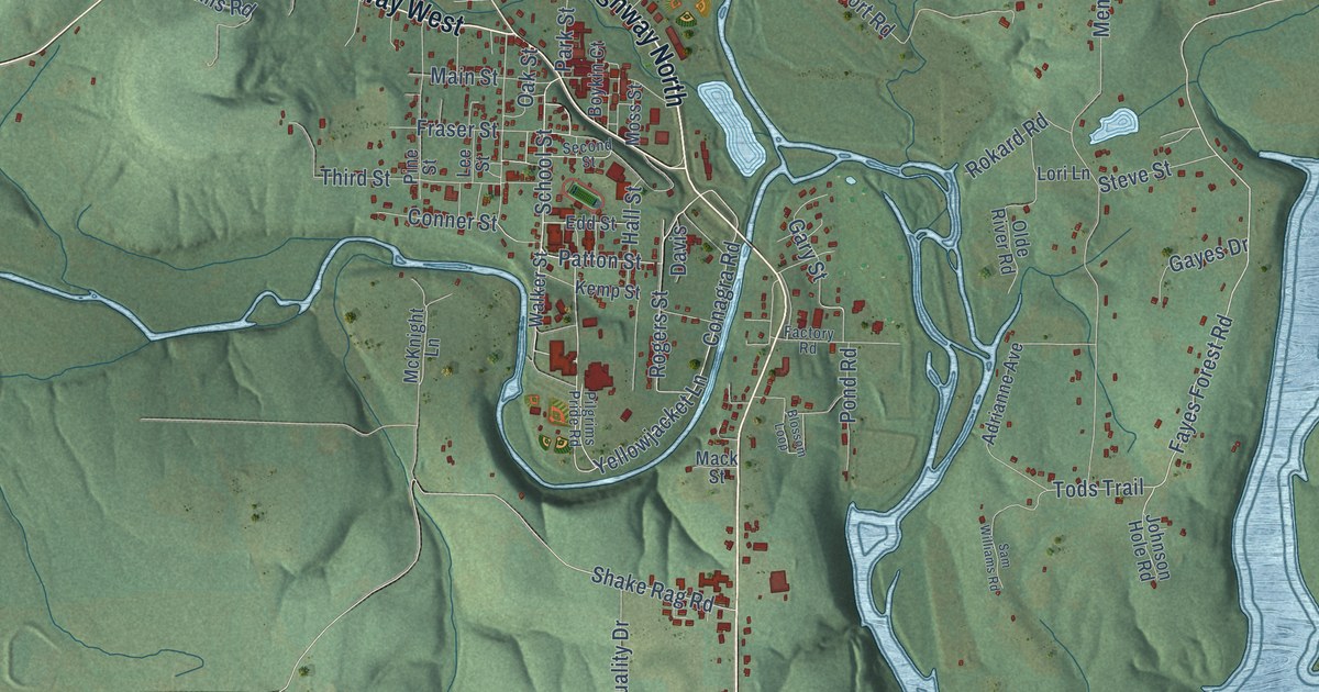
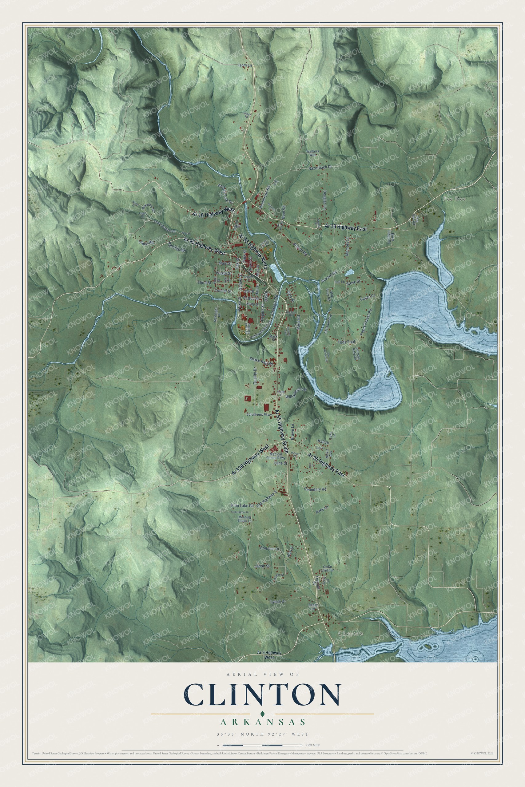
This beautifully detailed map of Clinton, Arkansas was created in 2026 using aerial imagery combined with modern topographical, census, street and landmark data. It's a modern aerial view of Clinton in Van Buren County, Arkansas, that combines modern data with a vintage aesthetic. The roads feature printed names, and if you look closely you can find your exact house accurately shown in its correct location.
Explore an aerial view of Clinton, Arkansas
On this map you'll find Choctaw, Pee Dee, Ar 65 Highway North, Ar 65 Highway South, Ar 16 Highway East, Ar 95 Highway West, Ar 16 Highway West, Ar 336 Highway West, Ar 95 Highway East, Yellowjacket Lane, Fayes Forest Road, Donnies Drive, and more. Each red shape is a building, so zoom in on the preview and look for yours.
Here is a piece of Clinton history, in the words of the record. The CALS Encyclopedia of Arkansas puts it this way: "George Counts is usually described as the founder of Clinton. A post office was established and named Clinton on December 20, 1833. While it is generally assumed that the settlement was named for New York governor DeWitt Clinton, no record survives to explain why his name was used."
Clinton is a city in Van Buren County.
Take a closer look at the Clinton map
Names on this map
These names are printed on this map.
Places: Choctaw and Pee Dee.
Streets and roads: Ar 65 Highway North, Ar 65 Highway South, Ar 16 Highway East, Ar 95 Highway West, Ar 16 Highway West, Ar 336 Highway West, Ar 95 Highway East, Yellowjacket Lane, Fayes Forest Road, Donnies Drive, Patton Street, Tods Trail.
More street names, A to Z
Adrianne Avenue, Airport Road, Air Port Road, Ar 9 Highway West, Archey Fork Drive, Archey Fork Road, Avey Lane, Blossom Loop, Boykin Court, Brown Lane, Buel Road, Burnt Ridge Road, Cedar Crest Drive, Cemetery Road, Conagra Road, Conner Street, Davis, Douglas Lane, Edd Street, Factory Road, Fogle Road, Fraser Street, Frontage Road, Gary Street, Gayes Drive, Gray Street, Hall Street, Harness Street, Henderson Road, Hill Street, Huie Street, Ingram Street, Isom Lane, Jason Street, Johnson Hole Road, Kali Drive, Kemp Street, Kip Lane, Lamar Road, Lane Street, Lee Street, Lori Lane, Luke Lane, Lynch Drive, Mack Street, Main Street, Marpen Street, McCaslin Street, McEntire Road, McKnight Lane, Medical Center Parkway, Memory Lane, Morning Shade Lane, Moss Street, Nickie Avenue, Oak Street, Olde River Road, Old Highway 9, Park Street, Pat Ellis Road, Pee Dee Road, Pilgrims Pride Road, Pine Lake Road, Pine Street, Pond Road, Quality Drive, Razorback Drive, Richard Road, Rogers Street, Rokard Road, Sam Williams Road, School Street, Second Street, Shady Lane, Shake Rag Road, Steve Street, Terry Lane, Tester Street, Third Street, Timber Grove Drive, Tomi Lane, Town Branch Road, Village Road, Volunteers Parkway, Walker Street, Walkers Way, White Street, Williamsom Road.
Created by KNOWOL in 2026. The buildings are small red shapes, the roads carry their printed names, and shaded relief shows the shape of the land. The title panel reads "AERIAL VIEW OF CLINTON ARKANSAS" with 35°35' NORTH 92°27' WEST.
It suits a den, a classroom or a front hall, and it makes a gift for anyone with Clinton roots. Open the preview and find the block you know. See sizes and frames for the Clinton map.