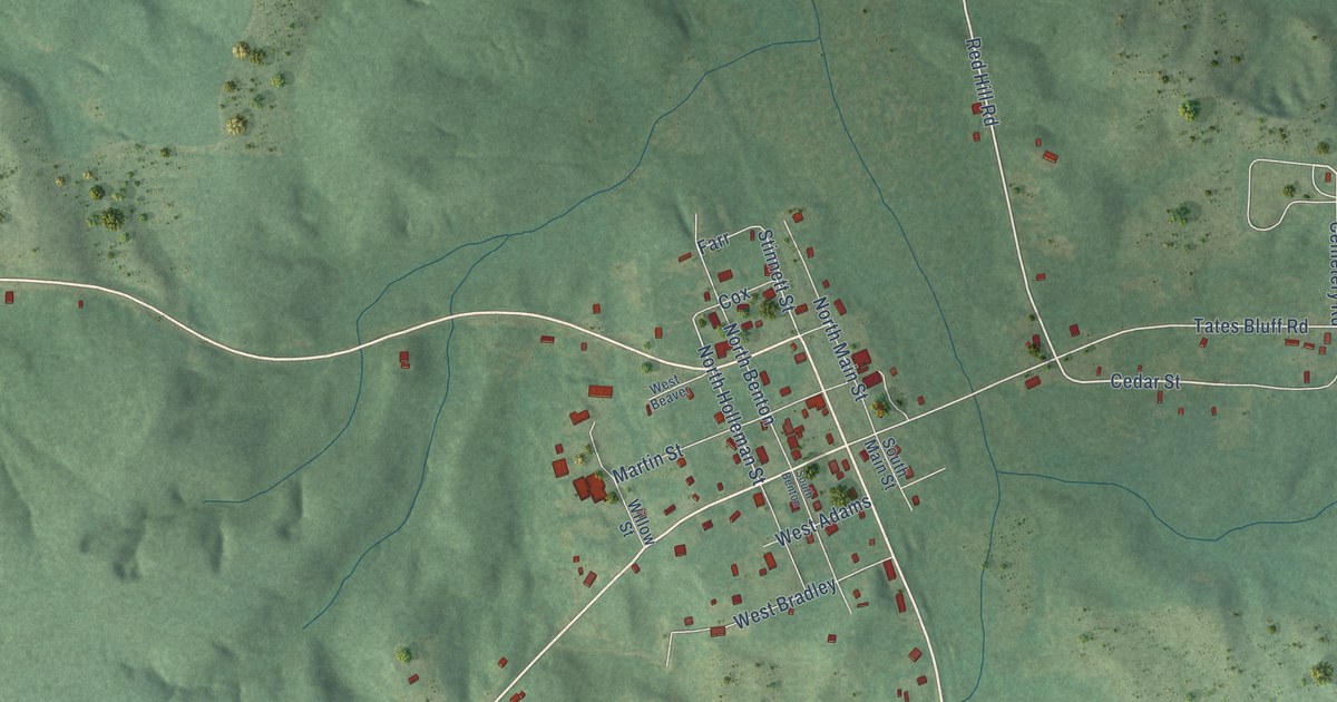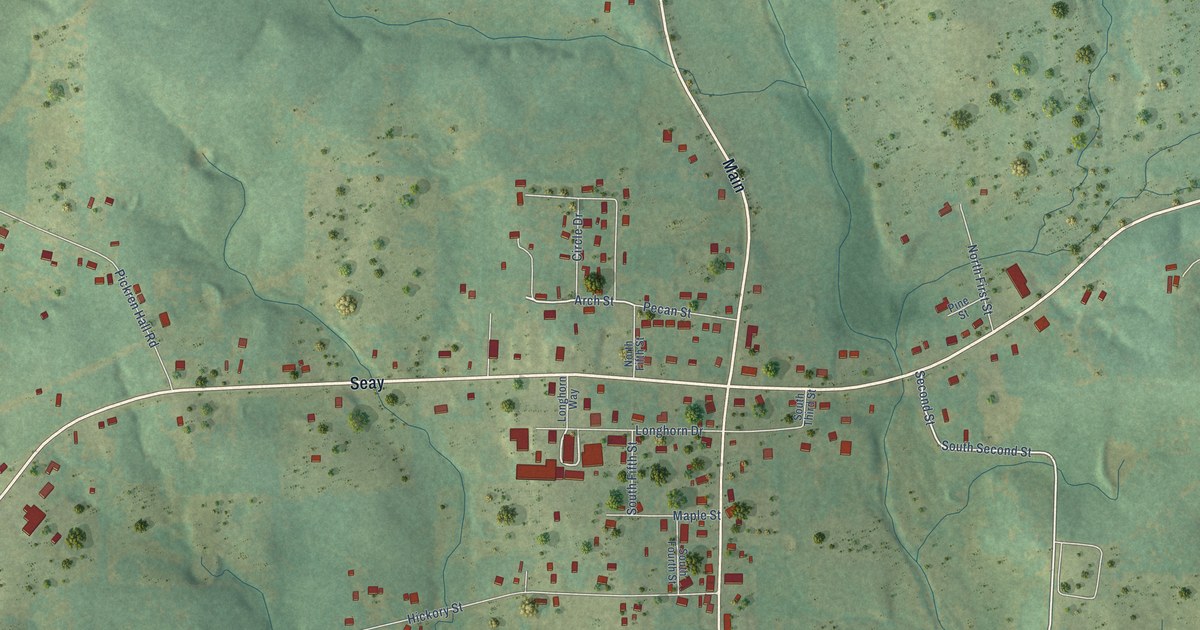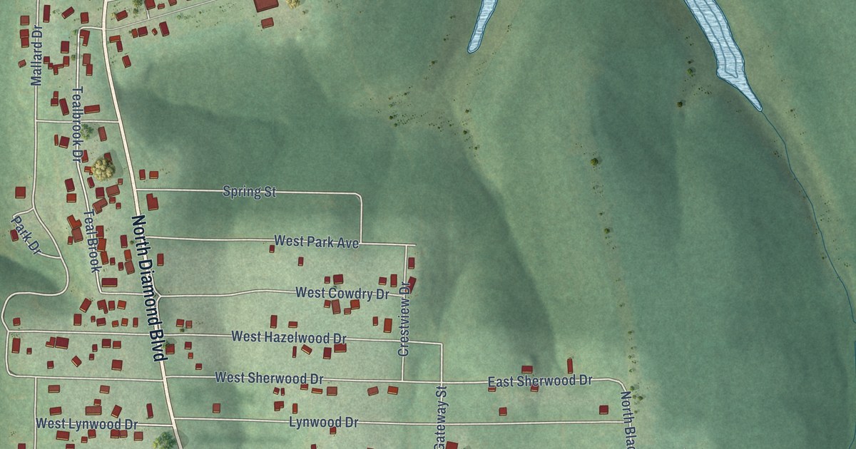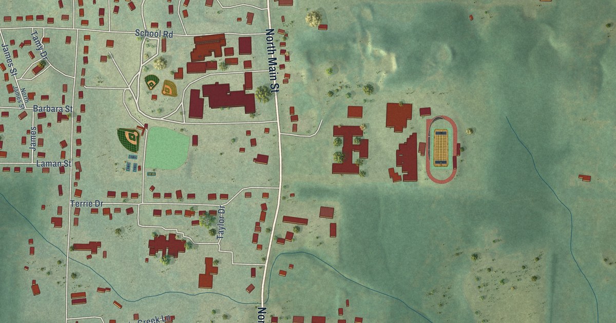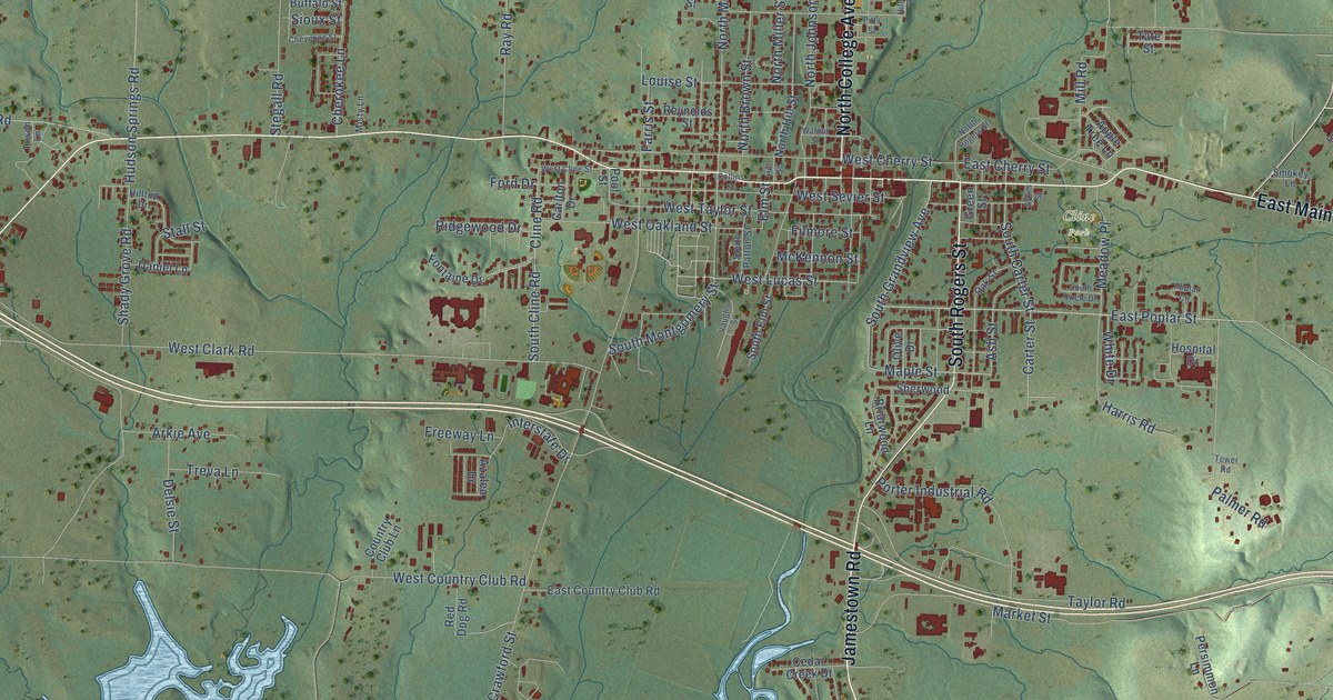
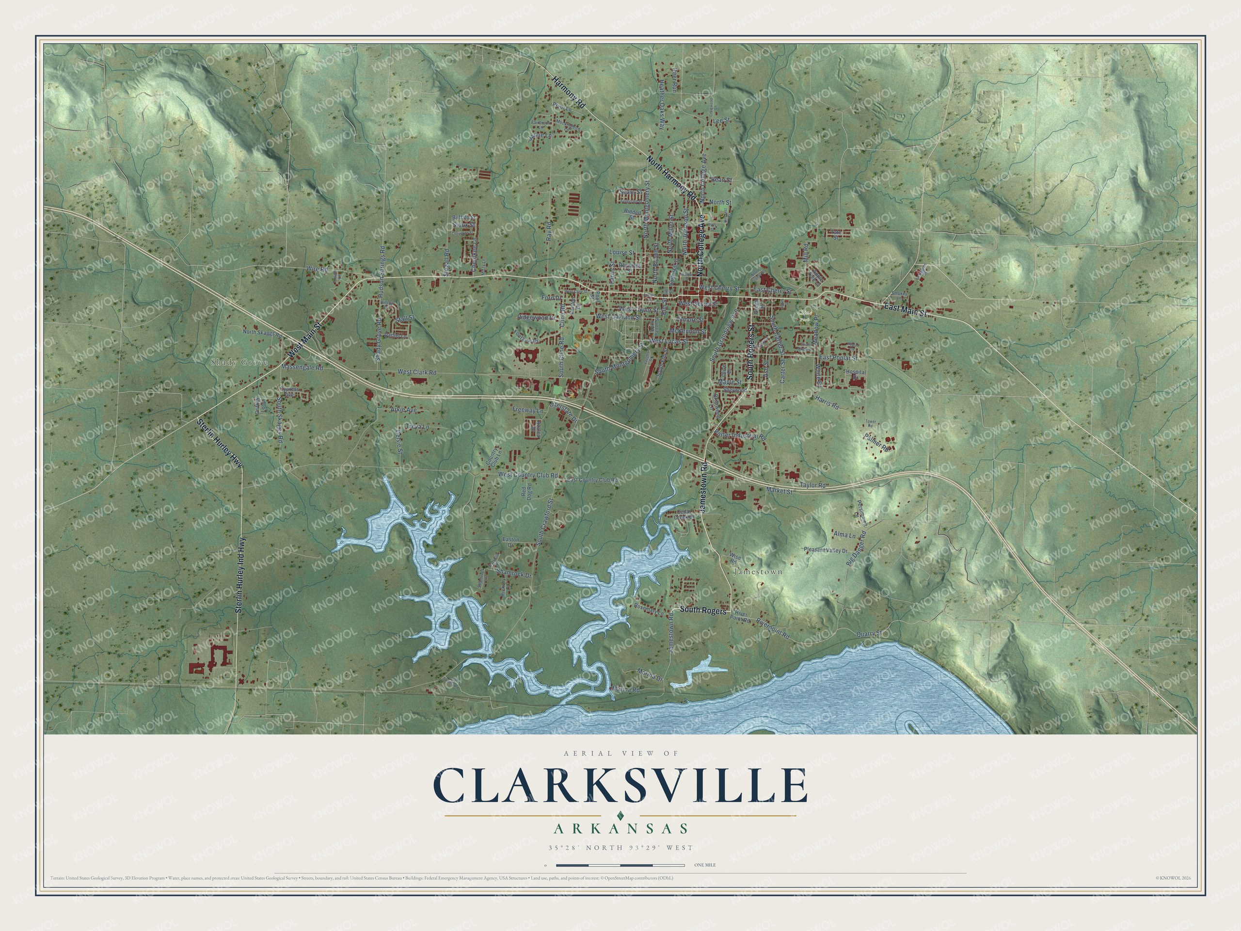
This beautifully detailed map of Clarksville, Arkansas was created in 2026 using aerial imagery combined with modern topographical, census, street and landmark data. It's a modern aerial view of Clarksville in Johnson County, Arkansas, that combines modern data with a vintage aesthetic. The roads feature printed names, and if you look closely you can find your exact house accurately shown in its correct location.
Explore an aerial view of Clarksville, Arkansas
On this map you'll find Shady Grove, Jamestown, Cline Park, East Main Street, Jamestown Road, South Rogers, West Main Street, Sterlin Hurley Highway, North Harmony Road, South Rogers Street, Harmony Road, North College Avenue, and more. Each red shape is a building, so zoom in on the preview and look for yours.
Here is a piece of Clarksville history, in the words of the record. The Internet Archive puts it this way: "Clarksville is a thriving little city of about 1,500 people, 101 miles from the capital, and on the Little Rock & Fort Smith Railroad."
Clarksville is a city in Johnson County.
Take a closer look at the Clarksville map
Names on this map
These names are printed on this map.
Places: Shady Grove, Jamestown and Cline Park.
Streets and roads: East Main Street, Jamestown Road, South Rogers, West Main Street, Sterlin Hurley Highway, North Harmony Road, South Rogers Street, Harmony Road, North College Avenue, Sterlin Hurley Ind Highway, South Grandview Avenue, Maple Street.
More street names, A to Z
Alma Lane, Apple Tree Lane, Arkie Avenue, Ash Street, Azalea Drive, Bean Street, Big Danger Road, Briarwood Lane, Buffalo Street, Carlton Drive, Carter Street, Cedar Creek Drive, Cherokee Lane, Cheyenne Street, Cline Road, Collins Street, Country Club Lane, Craigwood Lane, Cypress Avenue, Daniel Lane, Deer Run, Delsie Street, East Cherry Street, East Country Club Road, Easton Drive, East Poplar Street, Elm Street, Fairbrook Lane, Farris Street, Filmore Street, Fitzgerald Street, Fontaine Drive, Ford Drive, Freeway Lane, Green Street, Griffith Loop, Harris Road, Heather Oaks Way, Hickory Lane, Hillcrest Street, Hill Street, Hilltop Drive, Hospital Drive, Hudson Springs Road, Interstate Drive, Jamie Lane, Lee Street, Louise Street, Marina Drive, Marina Road, Market Street, Massengale Road, McKennon Street, Meadow Place, Mill Road, Misty Lane, Mockingbird Lane, North Brown Street, North Hill Street, North Johnson Street, North Miller Street, North Montgomery Street, North Rogers Street, North Skaggs Road, North Street, Oak Street, Old Spadra Road, Olive Drive, Palmer Road, Patricia Lane, Persimmon Lane, Pitts Street, Pleasant Valley Drive, Pool Street, Poplar Circle, Porter Industrial Road, Pryor Lane, Quarry Street, Ray Road, Red Dog Road, Reynolds Street, Riddell Street, Ridgewood Drive, Riverpoint Road, River Point Road, Rosemary Lane, Scoggins Street, Sears Street, Shady Grove Road, Shamrock Drive, Shamrock Lane, Sherwood, Sioux Street, Smokey Lane, South Carter Street, South Circle Drive, South Cline Road, South Crawford Street, South Elm Street, South Montgomery Street, South Patton Street, South Skaggs Road, Stall Street, Stegall Road, Sykes Street, Tate Street, Taylor Road, Tower Road, Treva Lane, Trison Lane, Vaughn Street, Walnut Street, West Cherry Street, West Clark Road, West Cline Street, West Country Club Road, West Lucas Street, West Oakland Street, West Sevier Street, West Taylor Street, White Drive, Wire Road, Wise Road.
Created by KNOWOL in 2026. The buildings are small red shapes, the roads carry their printed names, and shaded relief shows the shape of the land. The title panel reads "AERIAL VIEW OF CLARKSVILLE ARKANSAS" with 35°28' NORTH 93°29' WEST.
It suits a den, a classroom or a front hall, and it makes a gift for anyone with Clarksville roots. Open the preview and find the block you know. See sizes and frames for the Clarksville map.