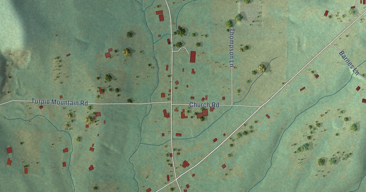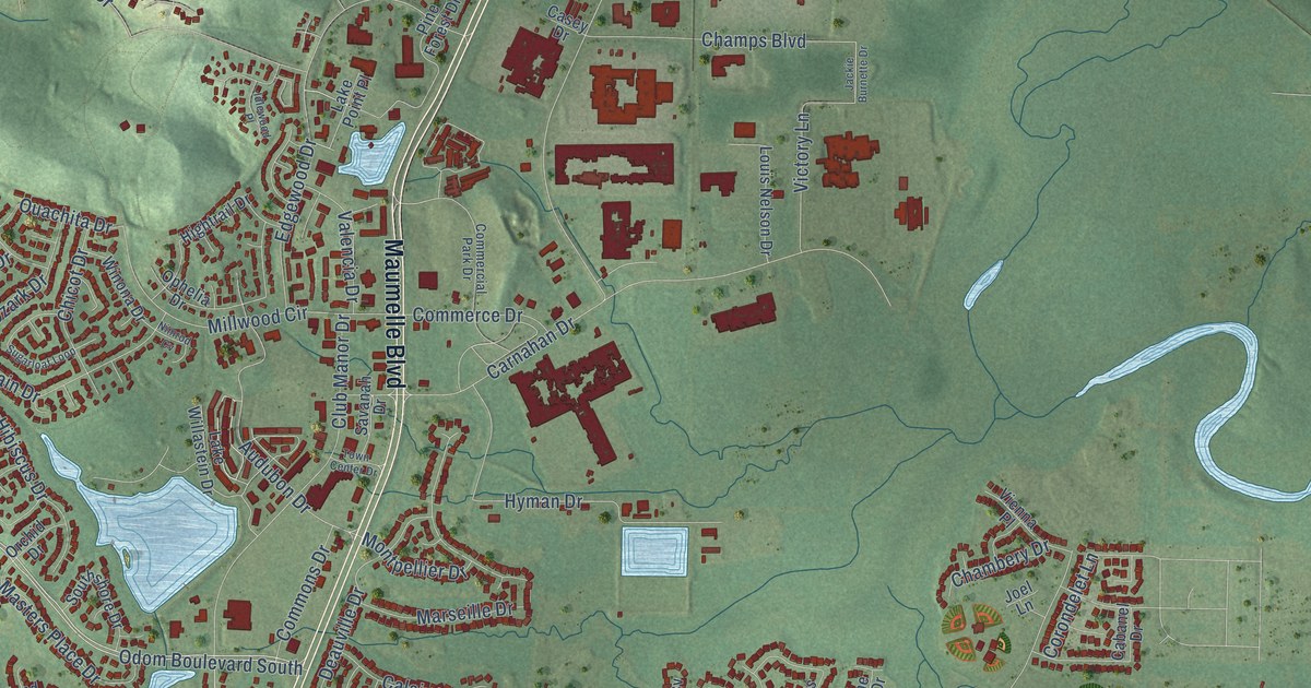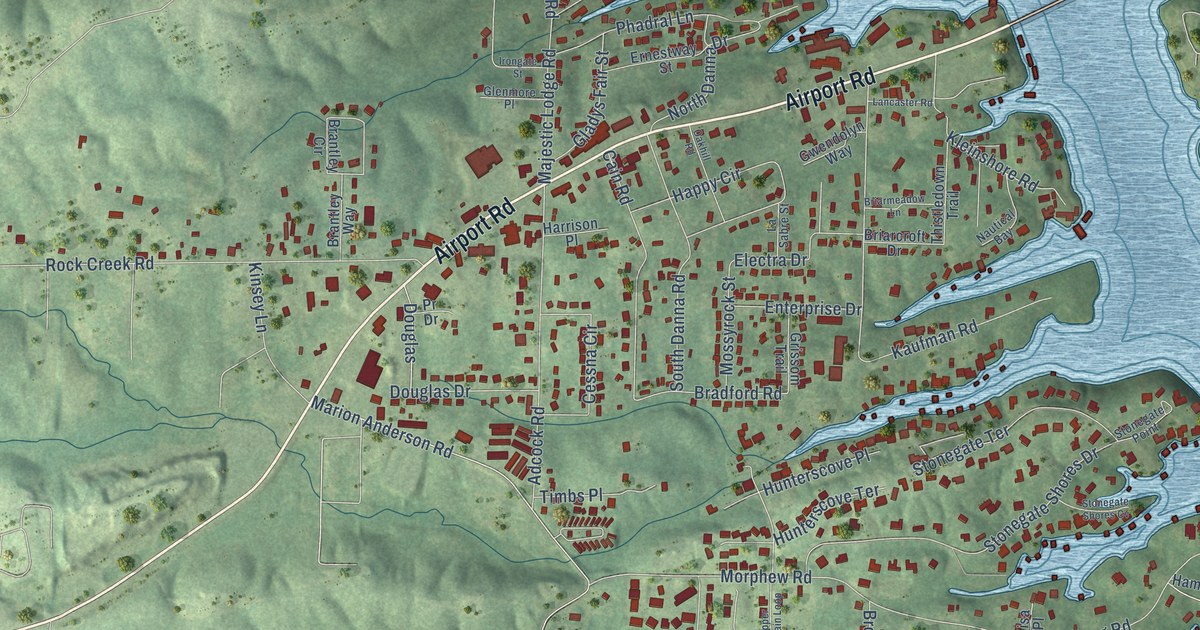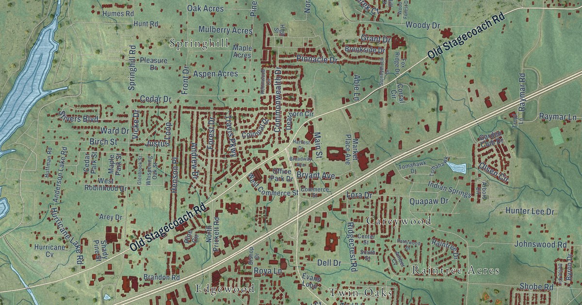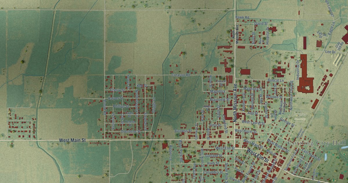
This beautifully detailed map of Corning, Arkansas was created in 2026 using aerial imagery combined with modern topographical, census, street and landmark data. It’s a one-of-a-kind view of Corning that combines accurate data with a vintage aesthetic. The map shows every building in its true location, many of the roads carry their names, and the shaded topographic relief shows the shape of the land.
Explore an aerial view of Corning, Arkansas
On the map you’ll find Corning City Hall, Corning Cemetery, and Clay County Road 179, along with East Elm Street, North Missouri Avenue, West Elm Street, West Main Street, Lee Drive, East Hazel Street, Chestnut Street, Southwest First Street, Southwest Third Street, and more. If you look closely you can even find your house accurately drawn in its correct location. Zoom in on the preview to look for yours.
Did you know this piece of Corning, Arkansas history?
From the CALS Encyclopedia of Arkansas: "On February 5, 1873, the first southbound train from St. Louis to Little Rock arrived with mail for the newly named Corning. The identity of the town’s namesake is not clear."
Corning is a city in Clay County.
Take a closer look at the Corning map
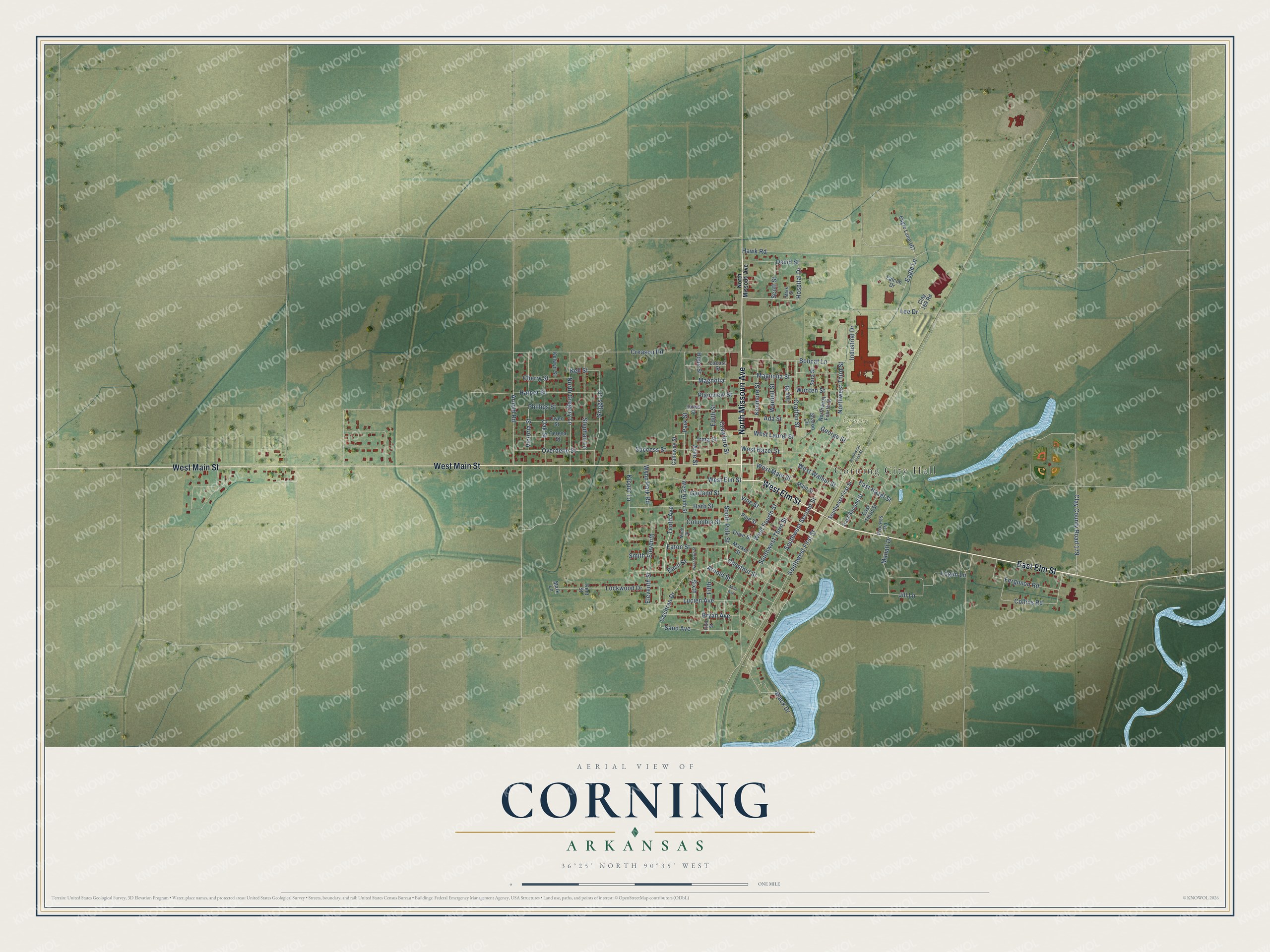
Street and place names on the Corning, Arkansas map
These names are printed on the map of Corning, Arkansas.
Places: Corning City Hall and Corning Cemetery.
Streets and roads: East Elm Street, North Missouri Avenue, West Elm Street, West Main Street, Clay County Road 179, Lee Drive, East Hazel Street, Chestnut Street, Southwest First Street, Southwest Third Street, Cochran Drive, South Polk Street.
More street names, A to Z
Ada Street, Arlie Street, Arnold Road, Arnold Street, Basil Street, Black Drive, Bobcat Lane, Bryan Avenue, Calloway Street, Cherry Street, Clay 169 Road, Collins Road, Columbia Street, Crafton Street, Crawford Street, Creason Road, David Street, Eagle Lane, Eagle Lane 167, East Second Street, East Third Street, Eaton Street, Edith Street, Eleventh, Eleventh Street, Falcon Drive, Ferguson Road, Fifth, Fifth Street, Garland Street, George Street, Griggs Lane, Harb Street, Harper Street, Hawk Road, Hope Street, Hospital Drive, Industrial Drive, Irma Street, Jill Lane, Jones Street, Joy Street, Kell Street, Kelwyn Street, Kenmore Street, Kent Street, Kipper Lane, Lockwood Drive, Locust Street, Logan Lane, Lucien Avenue, Magnolia, Magnolia Street, Main Street, Manatt Drive, Market Street, Mark Lane, Mark Street, Mills Avenue, Ninth Street, North Gregory Lane, North Missouti Avenue, Northwest First Street, Northwest Fourth Street, Northwest Third Street, Oak Street, Olive Street, Overdene Street, Owen Street, Park Street, Phillips Street, Pine Street, Plainview Street, Process Road, Sand Avenue, Sara Street, Scott Street, Sharon Circle, Sixth, Smith, Southeast First Street, Southwest Second Street, Stephan Lane, Success Street, Tenth Avenue, Teresa Street, Victoria Street, Vine Street, Wardell Street, West Fourth Street, West Hazel Street, West Laurel Street, West Ninth Street, West Sixth Street, West Walnut Street, Wooten Street, Wynn Park Road.
See the Corning, Arkansas map on a wall
The Corning map as an 18 x 24 inch print in a black frame.

This beautifully detailed map of Corning makes an attractive addition to your office, library, or den, and it can even be used to teach children the geography and history of the area. It also makes a great gift for anyone with Corning roots. When you’re done exploring, click here to get your copy of the Corning map.