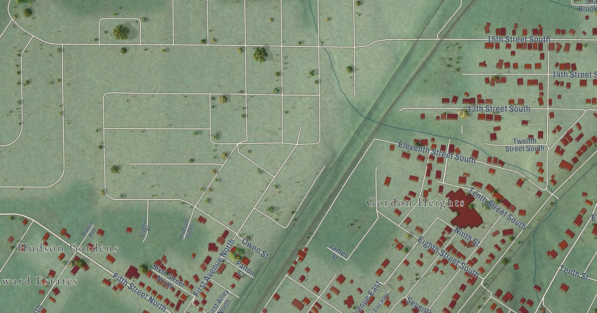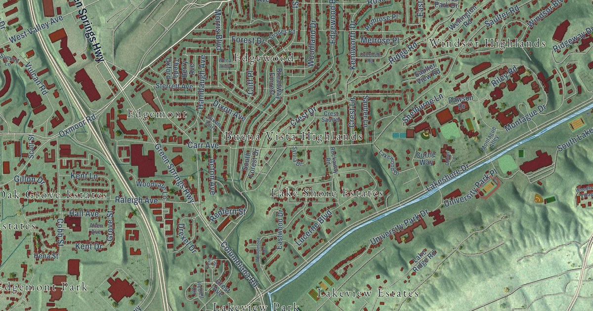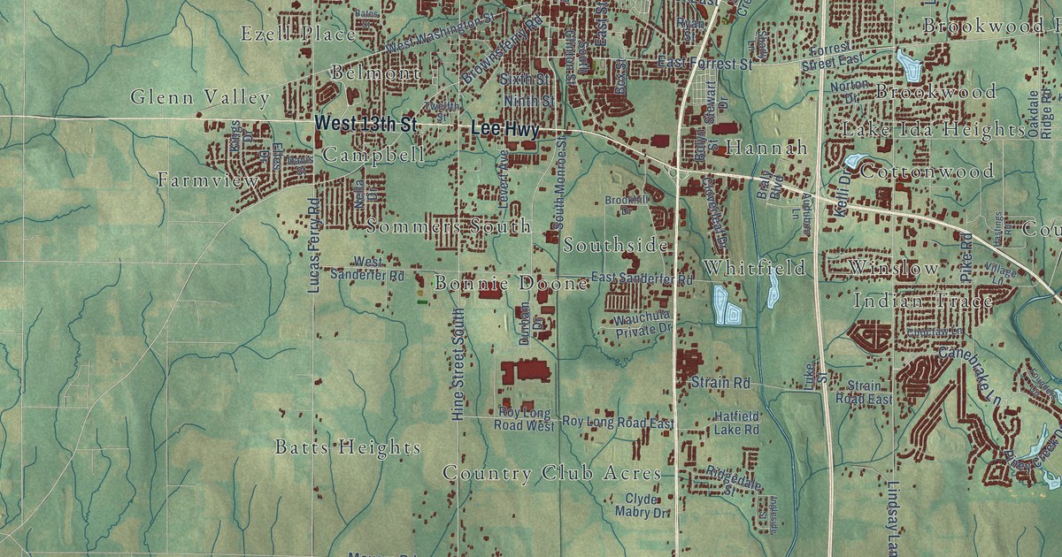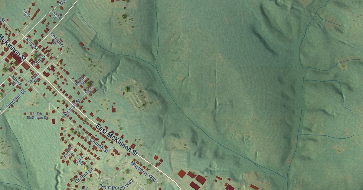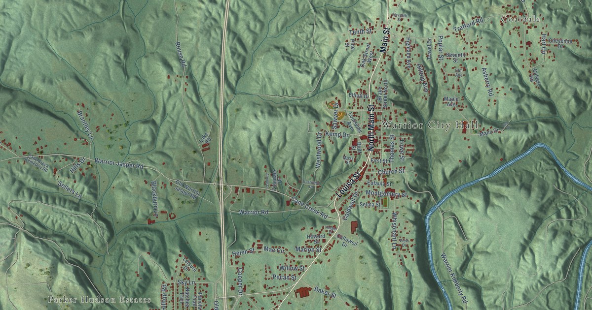
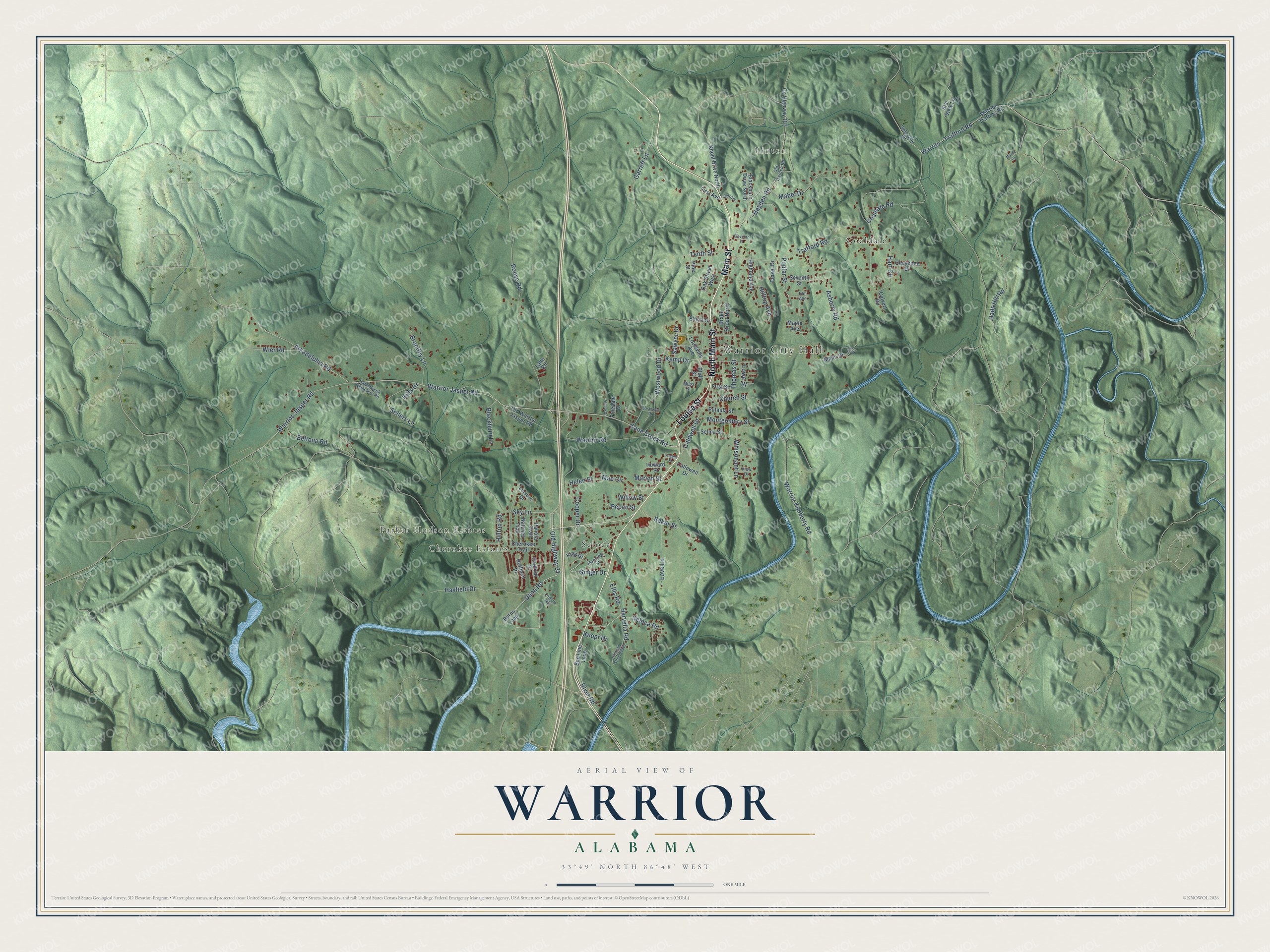
This beautifully detailed map of Warrior, Alabama was created in 2026 using aerial imagery combined with modern topographical, census, street and landmark data. It's a modern aerial view of Warrior in Jefferson County, Alabama, that combines modern data with a vintage aesthetic. The roads feature printed names, and if you look closely you can find your exact house accurately shown in its correct location.
Explore an aerial view of Warrior, Alabama
On this map you'll find Warrior City Hall, Parker Hudson Estates, Linton, Cherokee Estates, Coaldale, Seloca, Louisa Street, North Main Street, Main Street, Dana Road, Old Highway 31, Ginger Drive, and more. Each red shape is a building, so zoom in on the preview and look for yours.
Every town has a first chapter, and Warrior is no exception. The record at encyclopediaofalabama.org puts it this way: "Warrior Coal Field Train The area on which Warrior now stands was opened for settlement after the Creek defeat at Horseshoe Bend in the Creek War of 1813-14 ."
Warrior is a city in Jefferson County. The Census Bureau counted 3,224 people here in 2020.
Take a closer look at the Warrior map
Names on this map
These names are printed on this map.
Places: Warrior City Hall, Parker Hudson Estates, Linton, Cherokee Estates, Coaldale and Seloca.
Streets and roads: Louisa Street, North Main Street, Main Street, Dana Road, Old Highway 31, Ginger Drive, Ellis Road, Cane Creek Road, Warrior Kimberly Road, Sky Lane, Kemp Drive, Westwood Drive.
More street names, A to Z
Alpine Drive, Arkadelphia Road, Asberry Road, Baker Street, Bee Line Loop, Beltona Road, Blackburn Drive North, Blackburn Lane, Bluff Street, Brake Street North, Brantley Lane, Burns Loop, Caldwell Drive, Calloweil Drive, Calvert Road, Cane Creek Cemetery Road, Center, Cherokee Trail, Cheyenne Drive, Church Street, Coaldale Road, Cooper Drive, County Highway 107, Dads Hill Road, Eastwood Drive, Eleventh Street, Elliott Drive, Elm Avenue, Eufaula Street, Fay Drive, First Avenue, First Street, Garrett Lane, Hart Circle, Harvella Road, Hayden Road, Hayfield Drive, Helen Street, Highland Avenue, Hills Drive, Hilltop Avenue, Hilltop Road, Hoffman Place, Howard Street, King Drive, Knopf Drive, Knopf Drive North, Lake Road, Ledlow Road, Leisure Drive, Louisville Avenue, Love Lane, Lowe Street, Mabel Drive, Mae Circle, Mann Drive, Manning Street, Maple Avenue, Marion Street, Maron Drive, Montgomery Street, Moss Street, Natchez Trail, Oak Street West, Old Hayden Road, Old Warrior Jasper Road, Panola Trail, Pecan Street, Pinedale Drive, Pine Street, Poplar Street, Radford Place, Railroad Street South, River Road, Rouse Road, Sawyer Drive, Sellers Lane, Selma Street, Seloca Road, Seventh Street, Sibleyville Road, Star View Lane, Tenth Street, Thomas Street, Trafford Road, Travel Drive, View Drive, Warrior-Jasper Road, Warrior - Trafford Road, Warrior Jasper Road, Warrior Road, Warrior Trafford Road, Whisonant Lane, Wier Road, Willow Street, Yeager Street.
Created by KNOWOL in 2026. The buildings are small red shapes, the roads carry their printed names, and shaded relief shows the shape of the land. The title panel reads "AERIAL VIEW OF WARRIOR ALABAMA" with 33°49' NORTH 86°48' WEST.
Hang it in the hallway, the office or the cabin, or give it to someone who left Warrior and still calls it home. Open the preview and look for a street you know. See sizes and frames for the Warrior map.