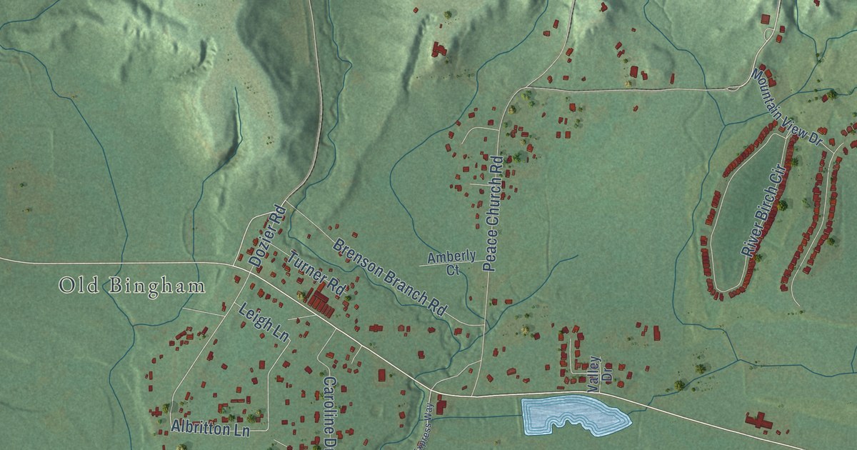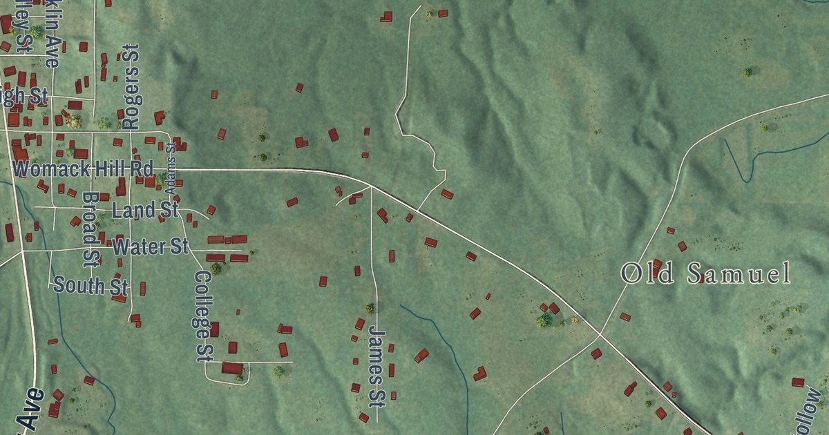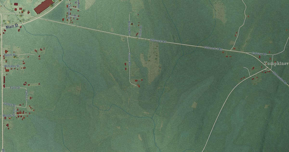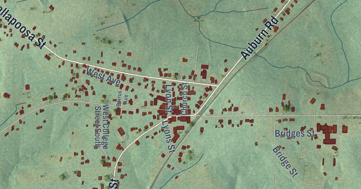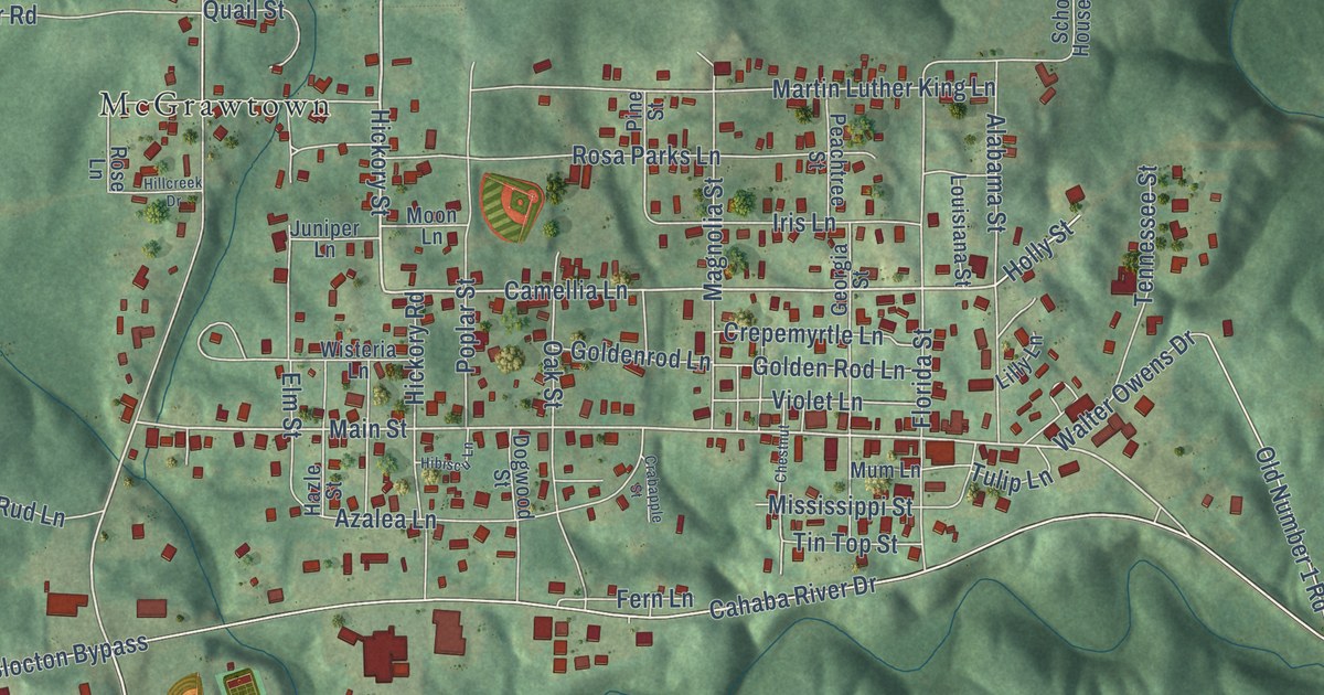
This beautifully detailed map of West Blocton, Alabama was created in 2026 using aerial imagery combined with modern topographical, census, street and landmark data. It’s a one-of-a-kind view of West Blocton that combines accurate data with a vintage aesthetic. The map shows every building in its true location, many of the roads carry their names, and the shaded topographic relief shows the shape of the land.
Explore an aerial view of West Blocton, Alabama
On the map you’ll find Italian Town, McGrawtown, Richtown, and Primitive Ridge, along with Old Highway 5, Hickory Street, Camellia Lane, Main Street, Truman Aldrich Parkway, Cahaba River Drive, Blocton Bypass, Smith Hill Road, and more. If you look closely you can even find your house accurately drawn in its correct location. Zoom in on the preview to look for yours.
Did you know this piece of West Blocton, Alabama history?
West Blocton began in 1884 as a coal mining town. Immigrants from across Europe came to work the mines, and Italians were the largest group. The town is known for its beehive ovens, built in the late 1880s to make coke.
Take a closer look at the West Blocton map
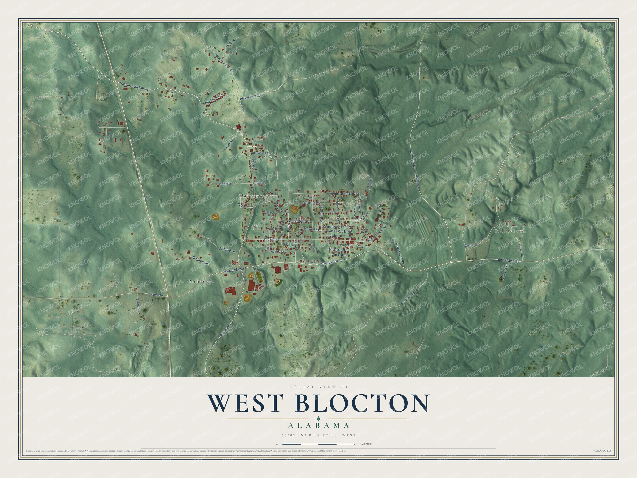
Street and place names on the West Blocton, Alabama map
These names are printed on the map of West Blocton, Alabama.
Places: Italian Town, McGrawtown and Richtown.
Streets and roads: Old Highway 5, Hickory Street, Camellia Lane, Main Street, Truman Aldrich Parkway, Cahaba River Drive, Blocton Bypass, Smith Hill Road, Primitive Ridge, Mount Carmel Drive, Griffintown Road, Florida Street.
More street names, A to Z
Alabama Street, Azalea Lane, Bearden Lane, Bibb County 24, Boxwood Lane, Carter Road, Chestnut, Contri Lane, Crabapple Street, Crepemyrtle Lane, Dogwood Street, Elm Street, Fern Lane, Georgia Street, Golden Rod Lane, Goldenrod Lane, Halls Place, Hazle Street, Hibiscu Lane, Hickory Hill Road, Hickory Road, Hillcreek Drive, Hills Mine Avenue, Holly Street, Iris Lane, Juniper Lane, Lilly Lane, Louisiana Street, Magnolia Street, Martin Luther King Lane, Mississippi Street, Moon Lane, Mosley, Mum Lane, Oak Street, Old Number 1 Road, Peachtree Street, Pecan Street, Pine Street, Poplar Street, Quail Street, Red Rud Lane, Richtown Road, Rosa Parks Lane, Rose Lane, School House Road, Stacks Hill, Tennessee Street, Tin Top Street, Tulip Lane, Twin Pine Lane, Vance Road, Violet Lane, Walter Owens Drive, Wisteria Lane.
See the West Blocton, Alabama map on a wall
The West Blocton map as an 18 x 24 inch print in a black frame.

This beautifully detailed map of West Blocton makes an attractive addition to your office, library, or den, and it can even be used to teach children the geography and history of the area. It also makes a great gift for anyone with West Blocton roots. When you’re done exploring, click here to get your copy of the West Blocton map.