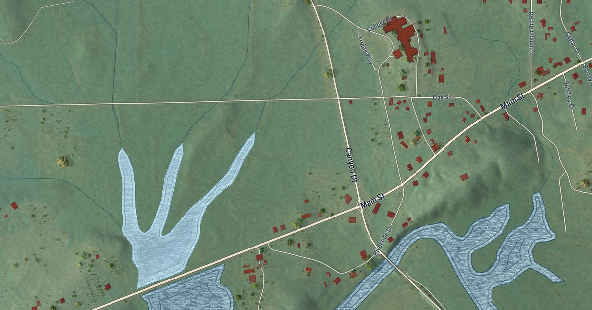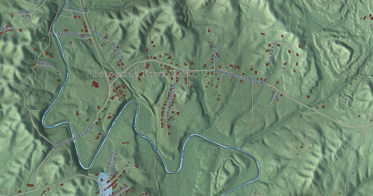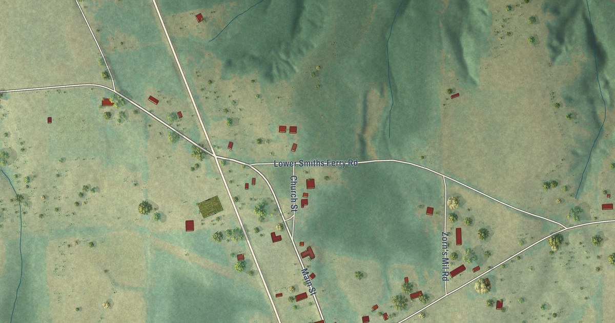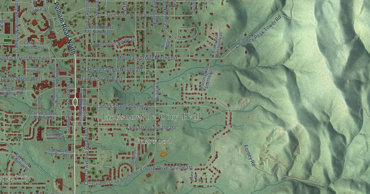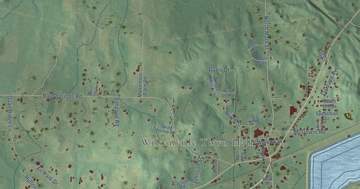
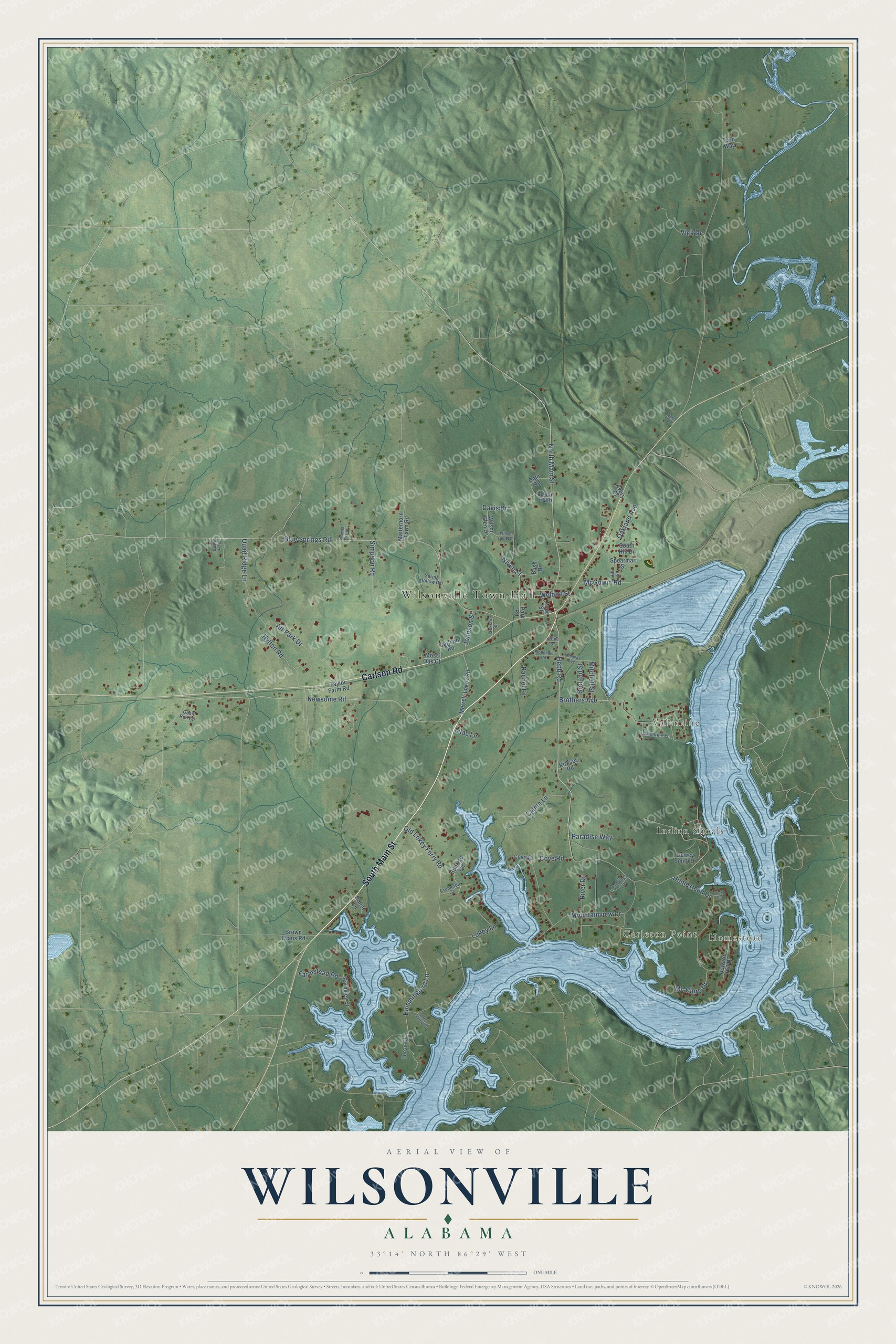
This beautifully detailed map of Wilsonville, Alabama was created in 2026 using aerial imagery combined with modern topographical, census, street and landmark data. It's a modern aerial view of Wilsonville in Shelby County, Alabama, that combines modern data with a vintage aesthetic. The roads feature printed names, and if you look closely you can find your exact house accurately shown in its correct location.
Explore an aerial view of Wilsonville, Alabama
On this map you'll find Wilsonville Town Hall, Homestead, Carleton Point, Indian Shoals, Valentine, South Main Street, Carlson Road, North Main Street, Hummingbird Lane, Hebb Road, Weldon Street, Blue Springs Road, and more. Each red shape is a building, so zoom in on the preview and look for yours.
Here is a piece of Wilsonville history, in the words of the record. The record at encyclopediaofalabama.org puts it this way: "Originally situated on a stagecoach road to Montgomery , Wilsonville was further connected to the rest of the state when a wide-gauge railroad was built to connect the town with Talladega ."
Wilsonville is a town in Shelby County. The Census Bureau counted 1,857 people here in 2020.
Take a closer look at the Wilsonville map
Names on this map
These names are printed on this map.
Places: Wilsonville Town Hall, Homestead, Carleton Point, Indian Shoals and Valentine.
Streets and roads: South Main Street, Carlson Road, North Main Street, Hummingbird Lane, Hebb Road, Weldon Street, Blue Springs Road, Newsome Road, Old Lokey Ferry Road, Homestead Drive, Mountainview Drive, McGowin Road.
More street names, A to Z
Air Park Drive, Avery Drive, Barnsley Street, Breland Street, Brothers Avenue, Brown Evans Road, Bullet Lane, Bush Drive, Calma Lane, Cove Court, Cove Road, Crumpton Court, Dam Road, Davis Drive, Deer Path, Dewey Smith Drive, Farmstead Road, Heron Cv, Hill Street, Howard Hill Drive, Hylton Road, Jackson Street, Johnson Street, Kennedy Avenue, Kirksey Road, Landings Lane, Lilac Lane, Lokey Lane, Matterhorn Farm Road, Mc Clure Drive, McDonald Road, Merrell-Lokey Road, Mitchell Street, Moss Oak Court, Niven Street, Oakland Avenue, Oden Drive, Paradise Way, Park Road, Pope Street, Quail Ridge Lane, Quail Run Circle, Rachel Lane, River Drive, River Walk Drive, Simpson Road, South Hill Drive, South Shelby Road, Spearman Street, Spring Hollow Road, Stone Drive, Sunrise Circle, Sunset Strip, Taylor Farm Road, Twin Way, Valentine Lane, Vick Circle, Vick Drive, Wilson Glen Drive, Wilson Glenn Drive.
Created by KNOWOL in 2026. The buildings are small red shapes, the roads carry their printed names, and shaded relief shows the shape of the land. The title panel reads "AERIAL VIEW OF WILSONVILLE ALABAMA" with 33°14' NORTH 86°29' WEST.
It suits a den, a classroom or a front hall, and it makes a gift for anyone with Wilsonville roots. Open the preview and find the block you know. See sizes and frames for the Wilsonville map.