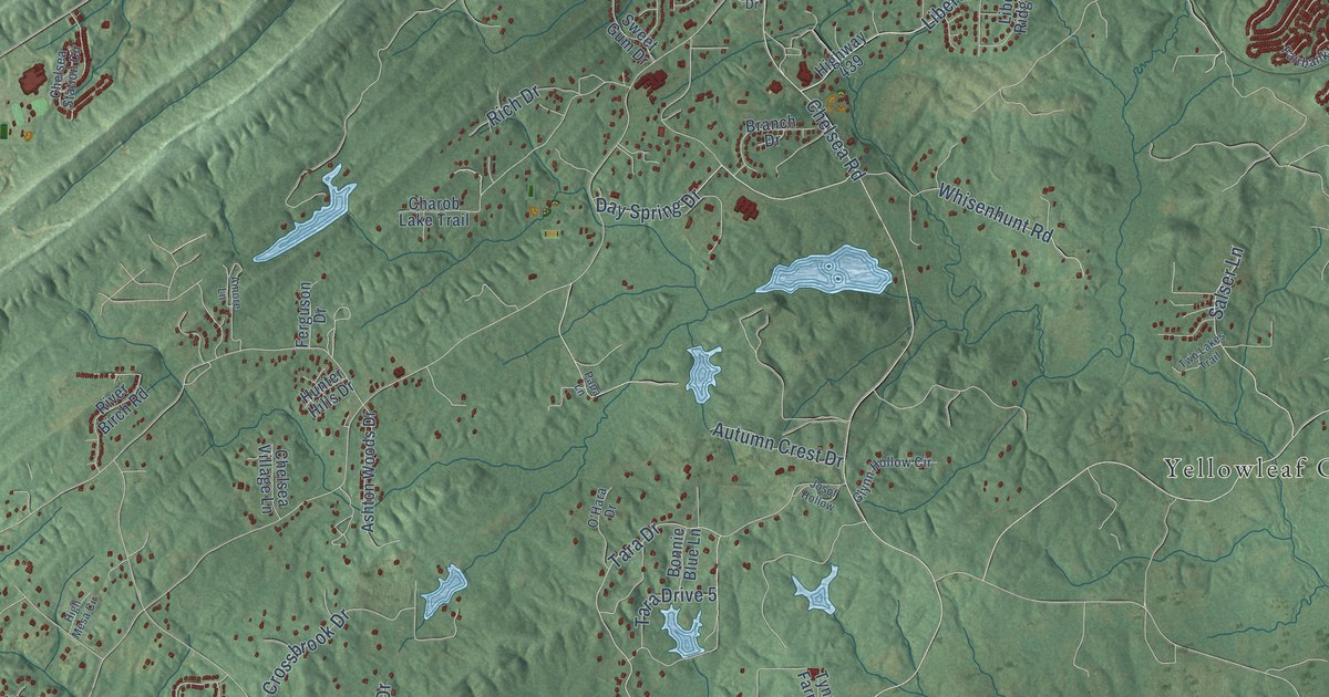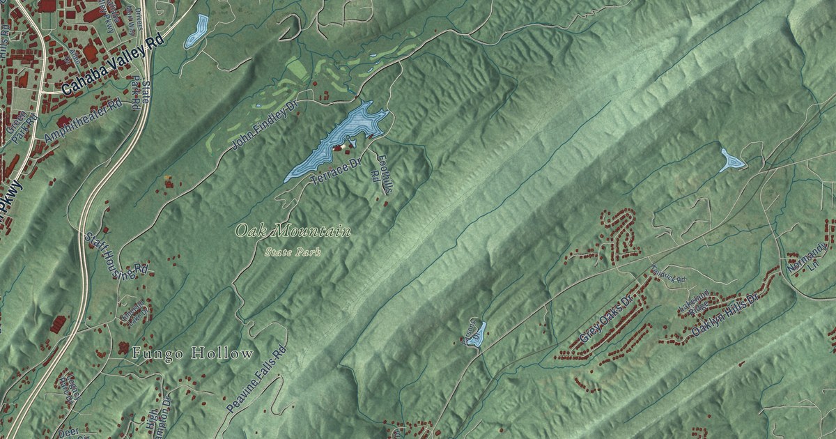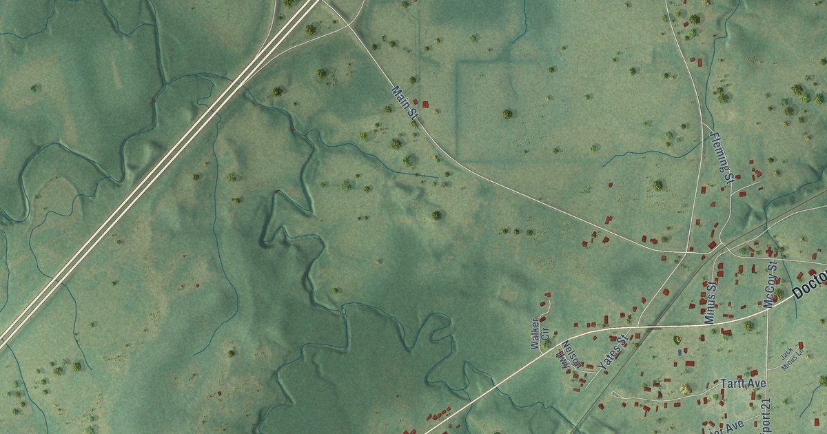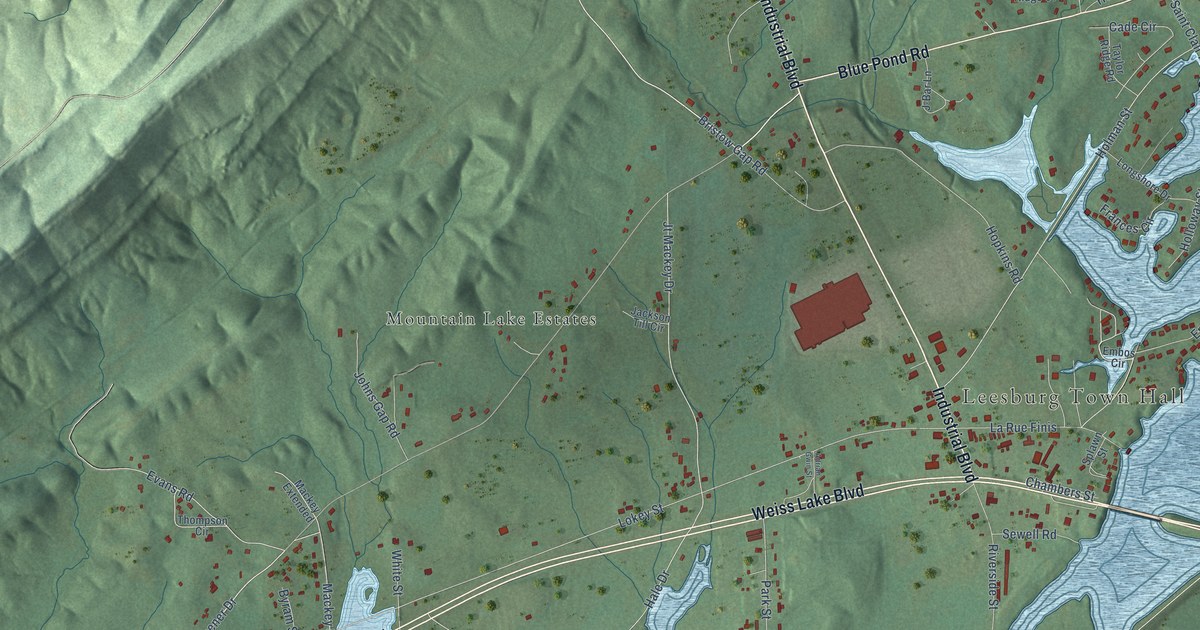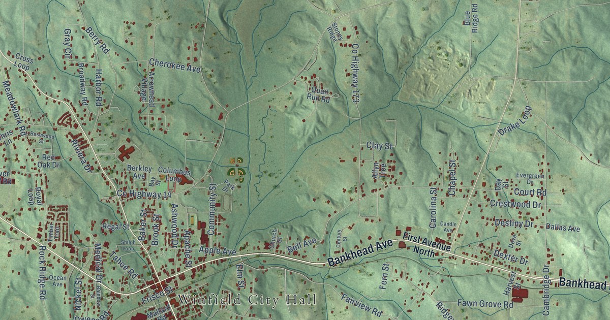
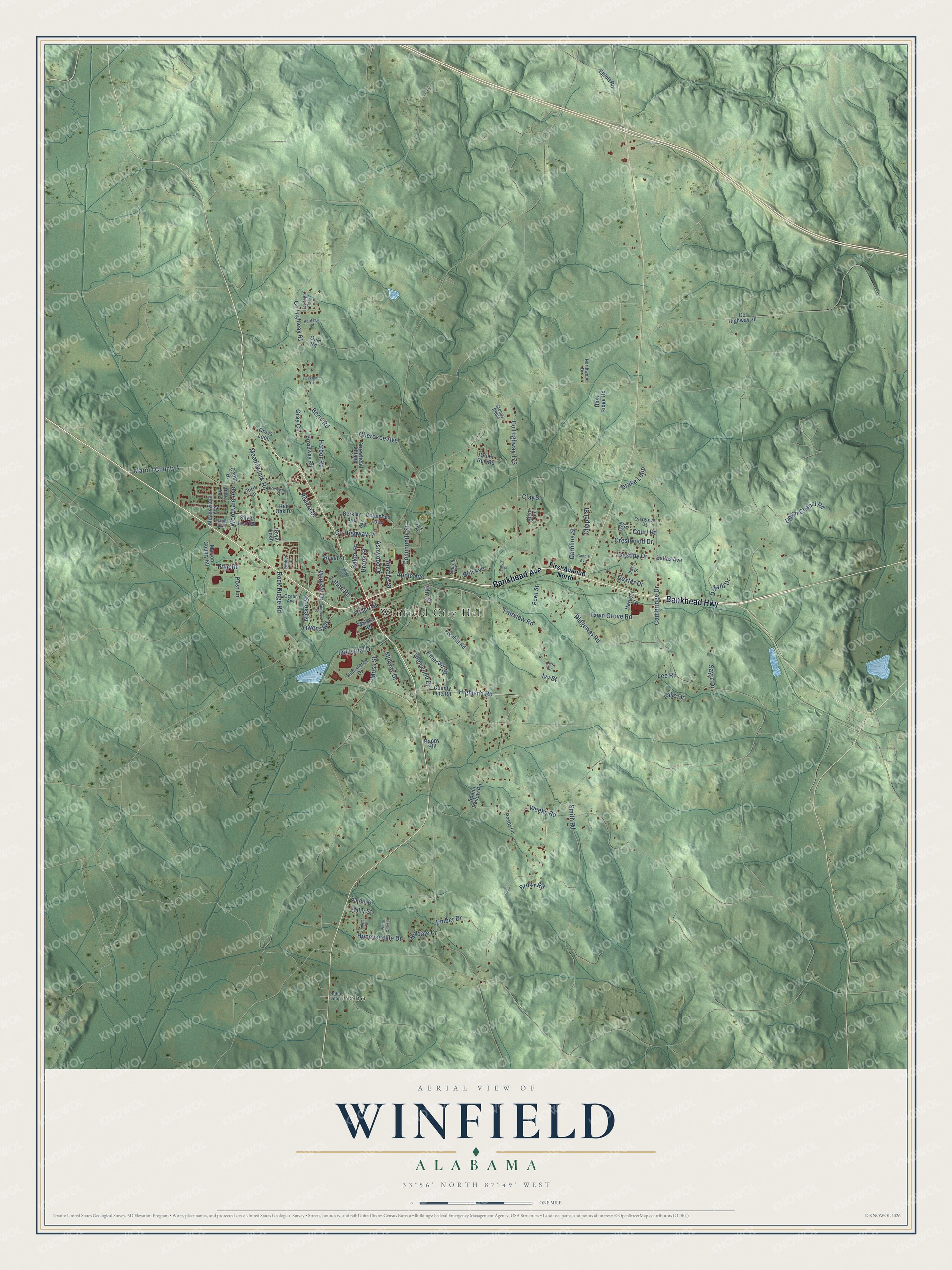
This beautifully detailed map of Winfield, Alabama was created in 2026 using aerial imagery combined with modern topographical, census, street and landmark data. It's a modern aerial view of Winfield in Marion County, Alabama, that combines modern data with a vintage aesthetic. The roads feature printed names, and if you look closely you can find your exact house accurately shown in its correct location.
Explore an aerial view of Winfield, Alabama
On this map you'll find Winfield City Hall, Bobo, Bankhead Highway, Bankhead Avenue, Highland Road, Fairview Road, Smith Road, Meadowlark Road, Co Highway 173, Court Road, Tahoe Road, Co Highway 14, and more. Each red shape is a building, so zoom in on the preview and look for yours.
Every town has a first chapter, and Winfield is no exception. The record at encyclopediaofalabama.org puts it this way: "The Pastime Theatre, located in downtown Winfield, is a restored art-deco building built in 1937 that now is run by the city and hosts a variety of concerts, movies, and other shows."
Winfield is a city in Marion County. The Census Bureau counted 4,845 people here in 2020.
Take a closer look at the Winfield map
Names on this map
These names are printed on this map.
Places: Winfield City Hall, Bobo and Heritage Park.
Streets and roads: Bankhead Highway, Bankhead Avenue, Highland Road, Fairview Road, Smith Road, Meadowlark Road, County Highway 173, Court Road, Tahoe Road, County Highway 14, Weeks Road, Cambridge Drive.
More street names, A to Z
Allyn Trce, Apache Street, Apple Avenue, Arrowhead Village, Ashwood Drive, Baker Street, Barton Drive, Bay Street, Bell Avenue, Berkley Avenue, Berry Road, Blue Ridge Road, Bobo Loop, Broadway Road, Brook Street, Brown Road, Candle Avenue, Carolina Street, Cedar Drive, Century Street, Chapel Street, Cherokee Avenue, Chris Lane, Church Street, Clay Street, Columbus Loop, Commerce Drive, Community Street, County Highway 38, County Highway 61, County Line Road, Crestwood Drive, Cross Loop, Dallas Avenue, Day Street, Dekalb Drive, Destiny Drive, Dexter Drive, Dove Street, Drake Loop, Elliott Road, Elm Street, Ember Drive, Emerald Street, Evergreen Drive, Fawn Grove Road, Fern Street, First Avenue North, Foothill Road, Frisco Street, Glenwood Drive, Gray Circle, Guin Road, Happy Hill, Harbor Road, Harvest Street, Heritage Road, Hilldale Drive, Holly Street, Honeysuckle Drive, Industrial Drive, Iris Lane, Ivy Street, Juniper Street, Lake Drive, Lee Road, Mallard Road, Maple Avenue, Marion County 4, Marion County 69, Meadowood Avenue, Medical Drive, Midway Drive, Moss Street, Nickel Street, Northwood Drive, Oakleaf Circle, Ocean Avenue, Owens Road, Park Drive, Pike Road, Pine Avenue, Posey Lane, Post Lane, Quail Run Road, Rainbow Street, Red Oak Drive, Regal Street, Ridgeway Road, Riviera Drive, Rock Ridge Road, Rosewood Street, Royal Loop, Sayre Drive, Shiloh Loop, Silver Leaf Road, Spann Hollow Road, Stoney Ridge, Timber Trail, Union Chapel Road, White Oaks Lane, Woodvale Avenue.
Created by KNOWOL in 2026. The buildings are small red shapes, the roads carry their printed names, and shaded relief shows the shape of the land. The title panel reads "AERIAL VIEW OF WINFIELD ALABAMA" with 33°56' NORTH 87°49' WEST.
Hang it in the hallway, the office or the cabin, or give it to someone who left Winfield and still calls it home. Open the preview and look for a street you know. See sizes and frames for the Winfield map.