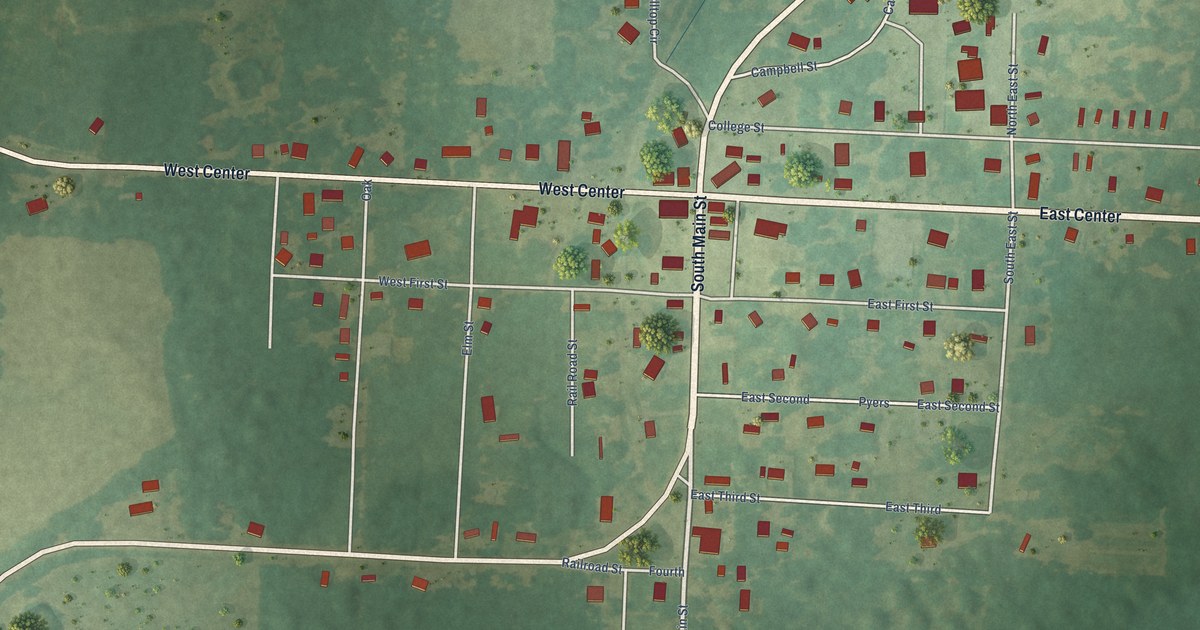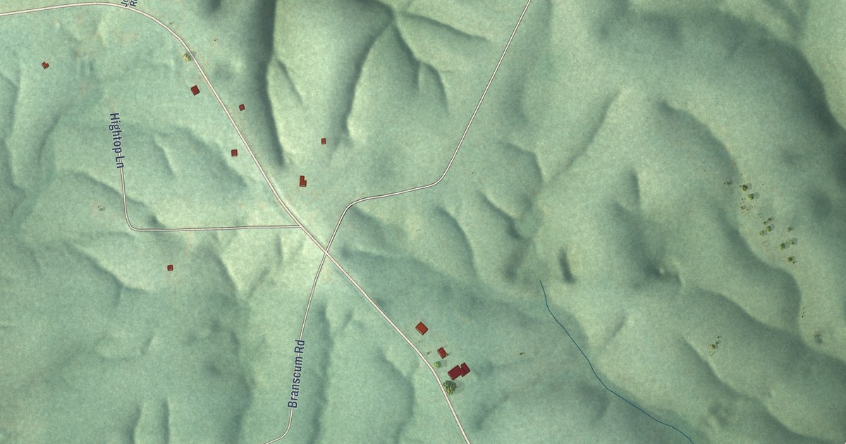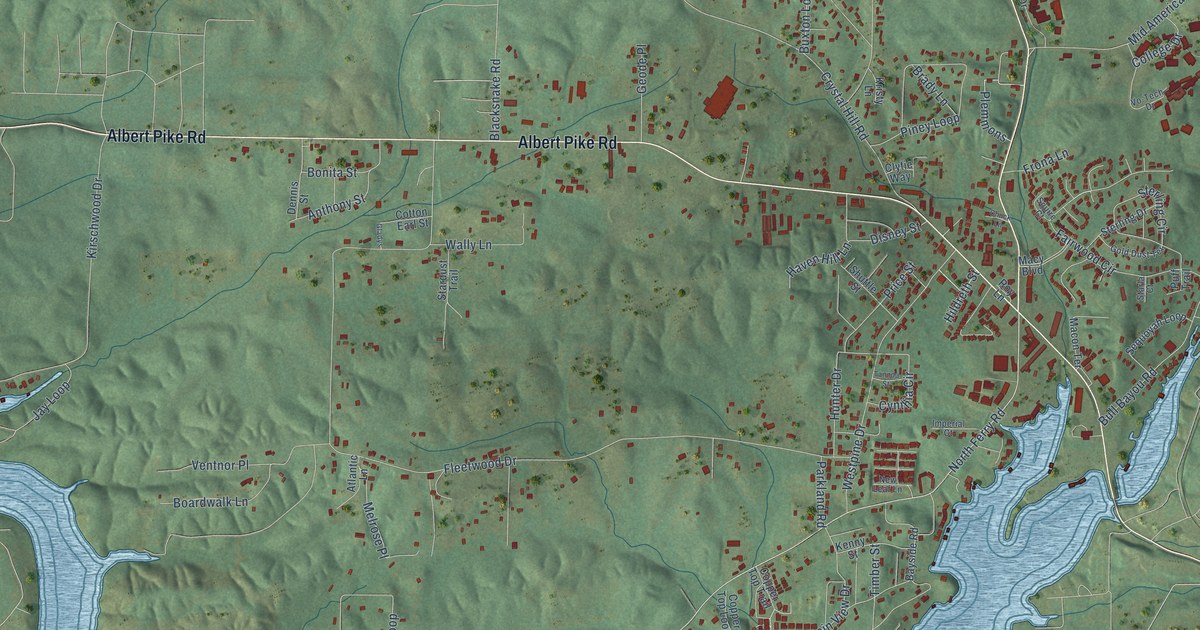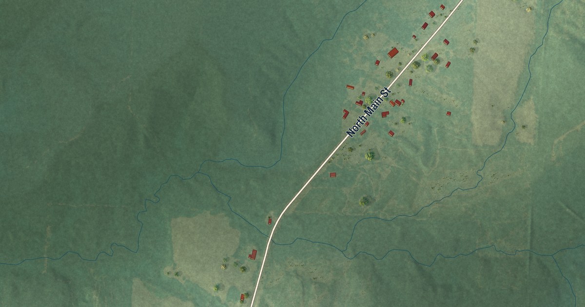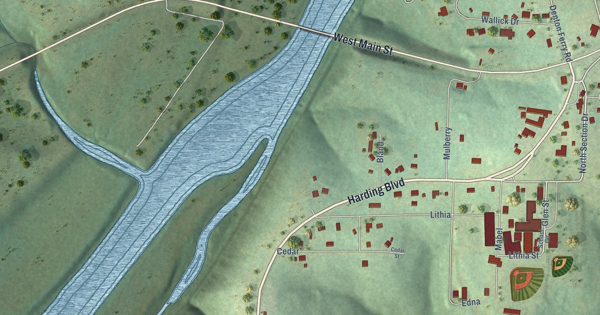
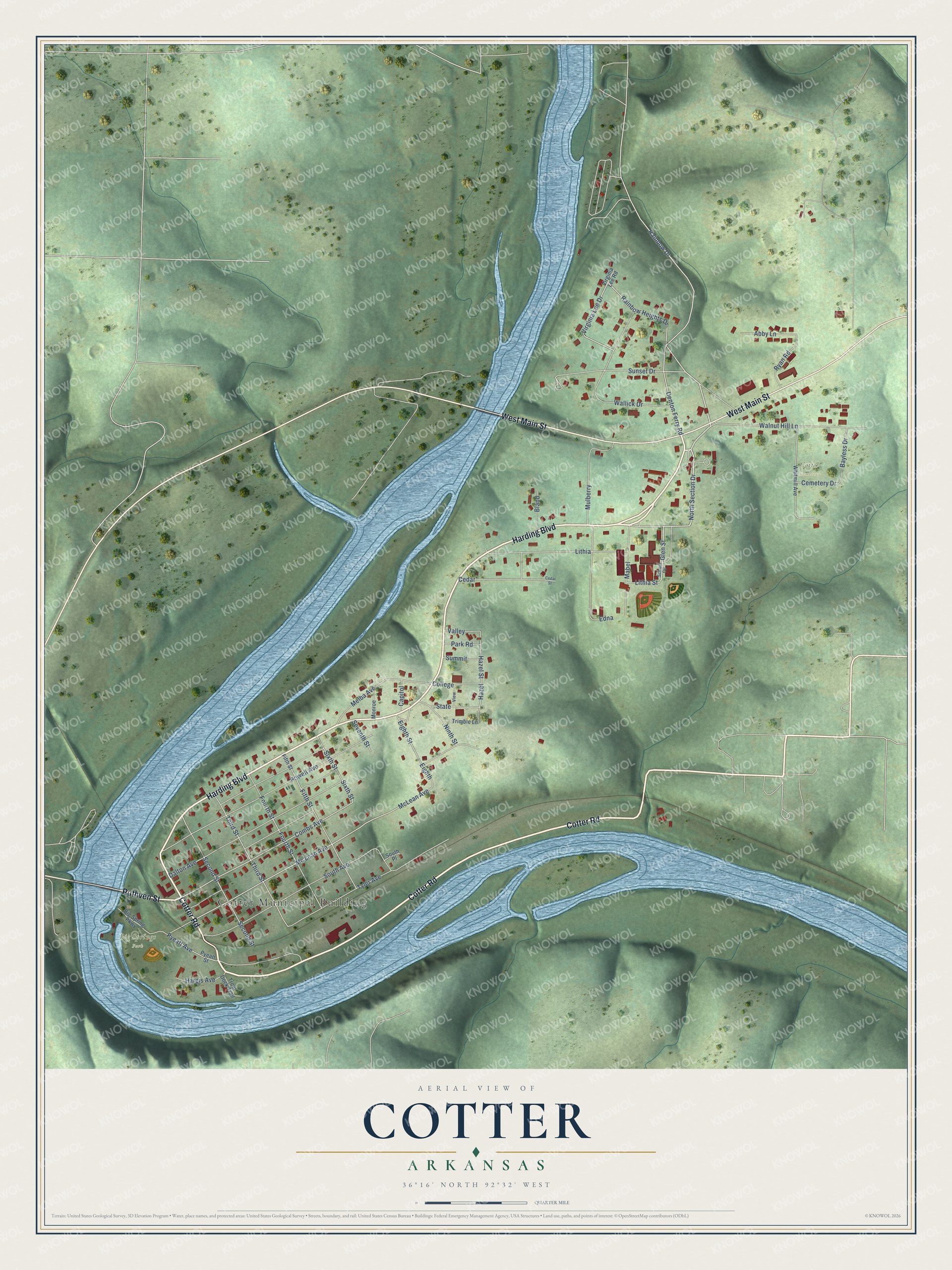
This beautifully detailed map of Cotter, Arkansas was created in 2026 using aerial imagery combined with modern topographical, census, street and landmark data. It's a modern aerial view of Cotter in Baxter County, Arkansas, that combines modern data with a vintage aesthetic. The roads feature printed names, and if you look closely you can find your exact house accurately shown in its correct location.
Explore an aerial view of Cotter, Arkansas
On this map you'll find Cotter Municipal Building, Big Springs Park, Cotter Cemetery, Cotter Road, Harding Boulevard, West Main Street, Ruthven Street, North Section Drive, Glen Street, Rainbow Heights Drive, Virginia Lee Drive, Rainbow Drive, and more. Each red shape is a building, so zoom in on the preview and look for yours.
Here is a piece of Cotter history, in the words of the record. The CALS Encyclopedia of Arkansas puts it this way: "About forty acres were reserved for railroad use, including depots, a terminal yard, and an engine facility. The city grew like many other railroad-related boomtowns of the era. The post office was established on January 26, 1903."
Cotter is a city in Baxter County.
Take a closer look at the Cotter map
Names on this map
These names are printed on this map.
Places: Cotter Municipal Building, Big Springs Park and Cotter Cemetery.
Streets and roads: Cotter Road, Harding Boulevard, West Main Street, Ruthven Street, North Section Drive, Glen Street, Rainbow Heights Drive, Virginia Lee Drive, Rainbow Drive, Combs Avenue, Hazel, Hazel Street.
More street names, A to Z
Abby Lane, Bayless Drive, Big Spring Parkway, Bland, Capitol, Cedar, Cedar Street, Cemetery Drive, College, Dalton Avenue, Denton Ferry Road, Edna, Eighth, Eighth Street, Fifth Street, Fourth Street, Hargis Avenue, Lithia, Lithia Street, Mabel, Mc Lean Avenue, McLean Avenue, Melba Avenue, Monroe, Mulberry, Ninth Street, Park Road, Powell Avenue, Pyeatt Avenue, Pyeatt Street, Ryan Road, School Circle, Second Street, Seventh Street, Sixth Street, South Avenue, South Place, State, Summit, Sunset Drive, Third Street, Trimble Lane, Trout Dock Trail, Tyler Avenue, Valley, View, Virginia Lee Road, Wallick Drive, Walnut Hill Lane, Whitmill Avenue.
Created by KNOWOL in 2026. The buildings are small red shapes, the roads carry their printed names, and shaded relief shows the shape of the land. The title panel reads "AERIAL VIEW OF COTTER ARKANSAS" with 36°16' NORTH 92°32' WEST.
It suits a den, a classroom or a front hall, and it makes a gift for anyone with Cotter roots. Open the preview and find the block you know. See sizes and frames for the Cotter map.