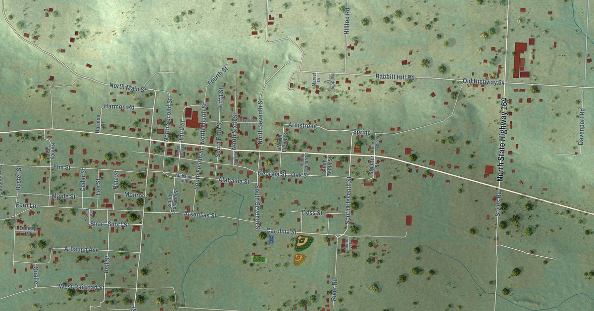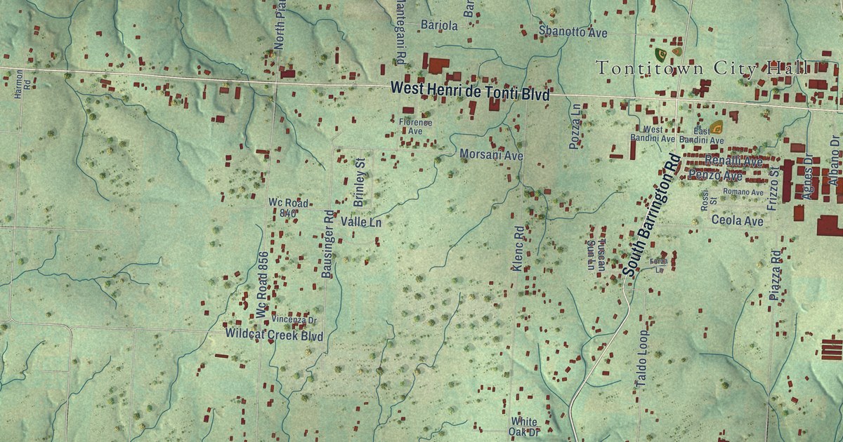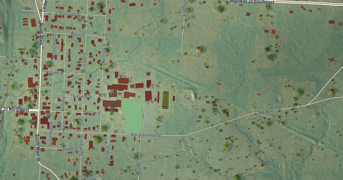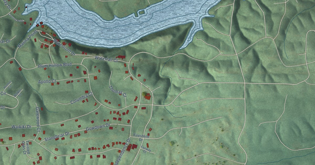
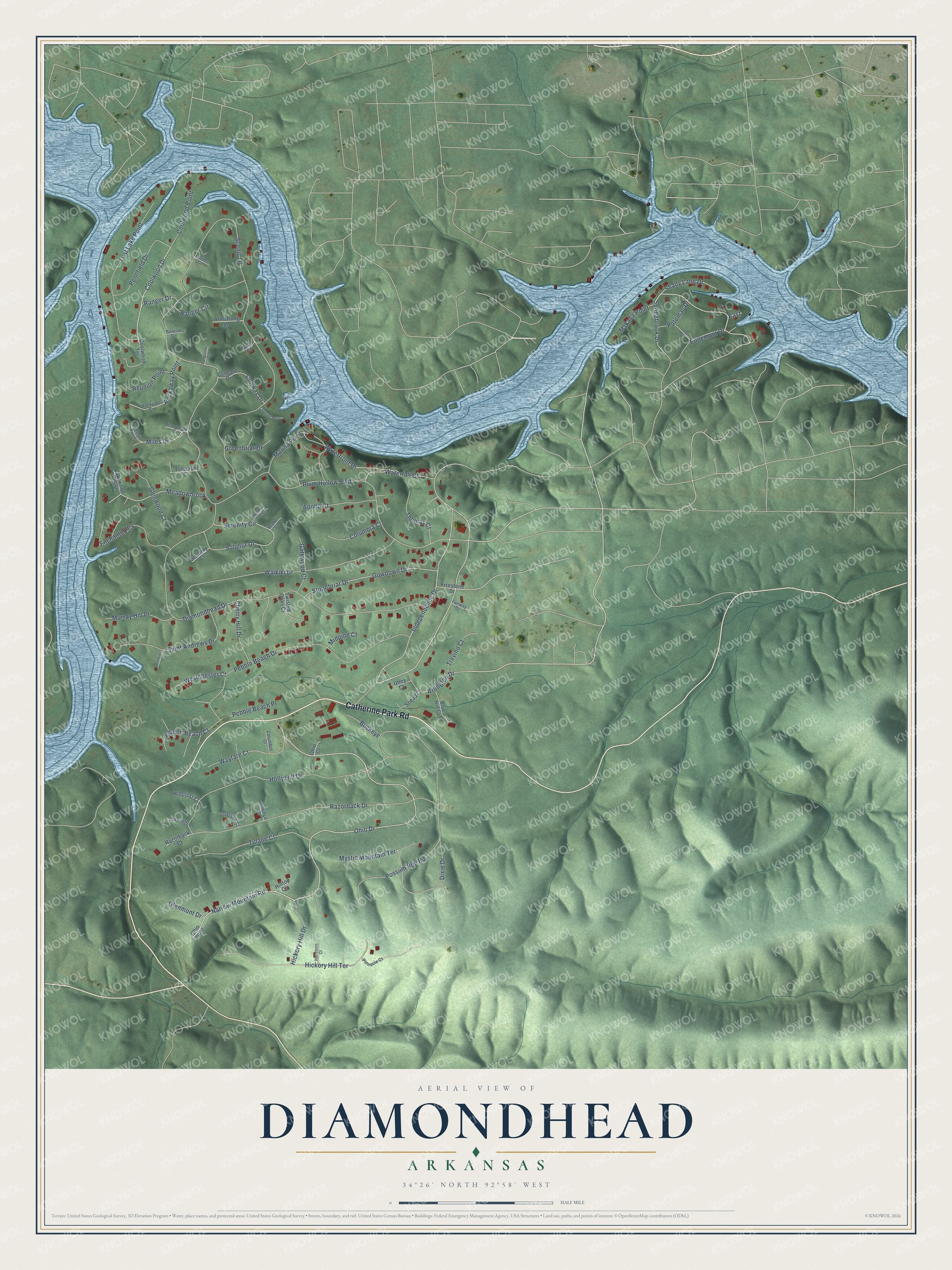
This beautifully detailed map of Diamondhead, Arkansas was created in 2026 using aerial imagery combined with modern topographical, census, street and landmark data. It's a modern aerial view of Diamondhead in Garland County, Arkansas, that combines modern data with a vintage aesthetic. The roads feature printed names, and if you look closely you can find your exact house accurately shown in its correct location.
Explore an aerial view of Diamondhead, Arkansas
On this map you'll find Catherine Park Road, Ohio Drive, Independence Drive, Narrow Mountain Road, Coolwood Drive, Springbrook Drive, Waterfall Court, Diamondhead Drive, Scenic Drive, Plum Hollow Boulevard, Possum Run Road, Razorback Drive, and more. Each red shape is a building, so zoom in on the preview and look for yours.
Diamondhead has a story worth telling. The City of Diamondhead puts it this way: "At that Town Hall meeting, the attending Diamondhead residents (approx. 100 attendees) raised hands indicating support for an Incorporation Committee to be formed to research the pros/cons of incorporating. Eleven community members joined the Incorporation Committee to conduct research."
Diamondhead is a town in Garland County.
Take a closer look at the Diamondhead map
Names on this map
These names are printed on this map.
Streets and roads: Catherine Park Road, Ohio Drive, Independence Drive, Narrow Mountain Road, Coolwood Drive, Springbrook Drive, Waterfall Court, Diamondhead Drive, Scenic Drive, Plum Hollow Boulevard, Possum Run Road, Razorback Drive.
More street names, A to Z
Apollo Court, Arlington Drive, Armstrong Lane, Beacon Circle, Blue Hill Court, Buckeye, Cherry Hill Drive, Collins Court, Columbia Court, Columbus Court, Concord Drive, Concord Point, Conway Drive, Coolwood Point, Coolwood Terrace, Dixie Drive, East, Edgemont Drive, Enchanted Cv, Fairway Court, Firestone Drive, Gatewood Court, Glenmont Drive, Glenwood Court, Golfview Court, Gowdown Drive, Greenbriar Drive, Hale Court, Hartshorn Court, Hickory Hill Drive, Hickory Hill Terrace, Hillcrest Court, Hillridge Circle, Hilltop Circle, Holly Hill Drive, Ivory Street, Knobhill Point, Lakeridge, Lakewood Point, Lost Lake Point, Makaha Point, Marina Point, Meadowbrook, Midpine Court, Miles Drive, Murray Hill Place, Mystic Mountain Terrace, Ohio Court, Ohio Point, Overlook Court, Pebble Beach Court, Pebble Beach Drive, Pebble Beach Place, Pennfield Drive, Pinnacle Court, Potomac Drive, Rangeline Court, Ranger Circle, Ranger Drive, Razorback Court, Remmel Circle, Reunion Point, Rockaway Point, Rockport Circle, Saint Andrews Drive, Serenity Circle, Serenity Court, Shady Lane Drive, Snead Court, Stonebriar Drive, Sulphur Drive, Thomas Court, Tranquility Court, Traverse Court, Trevino Court, Tulane Court, Twisted Oaks Court, Utley Court, Waikiki Drive, Walker Court, Waterfront Drive, Wayfare Court, Westchester Court.
Created by KNOWOL in 2026. The buildings are small red shapes, the roads carry their printed names, and shaded relief shows the shape of the land. The title panel reads "AERIAL VIEW OF DIAMONDHEAD ARKANSAS" with 34°26' NORTH 92°58' WEST.
It looks right in a kitchen, an office or a den, and it's a gift for anyone who grew up in Diamondhead or moved away. Open the preview and find your street. See sizes and frames for the Diamondhead map.