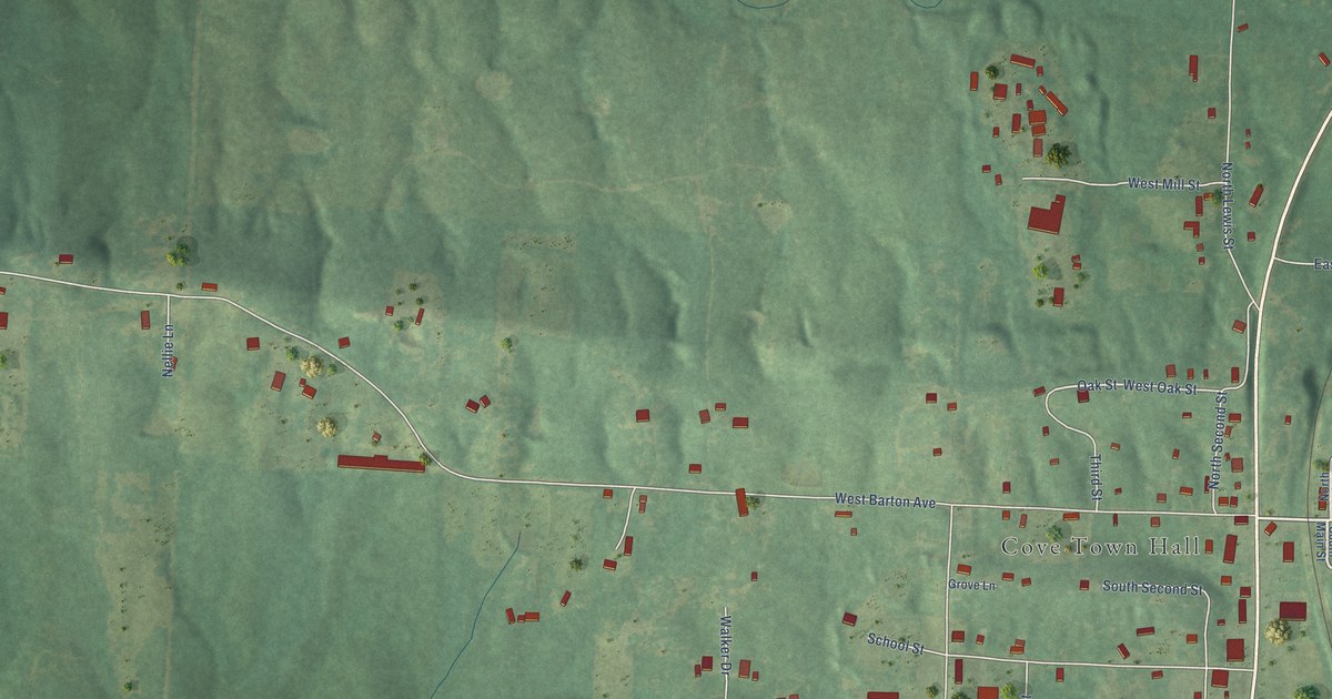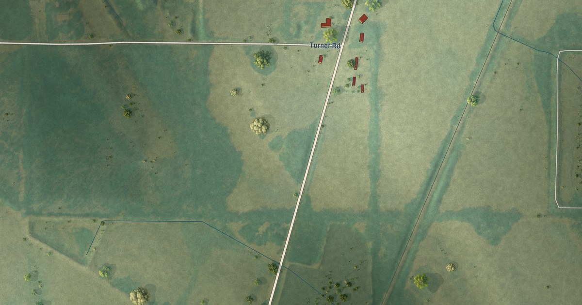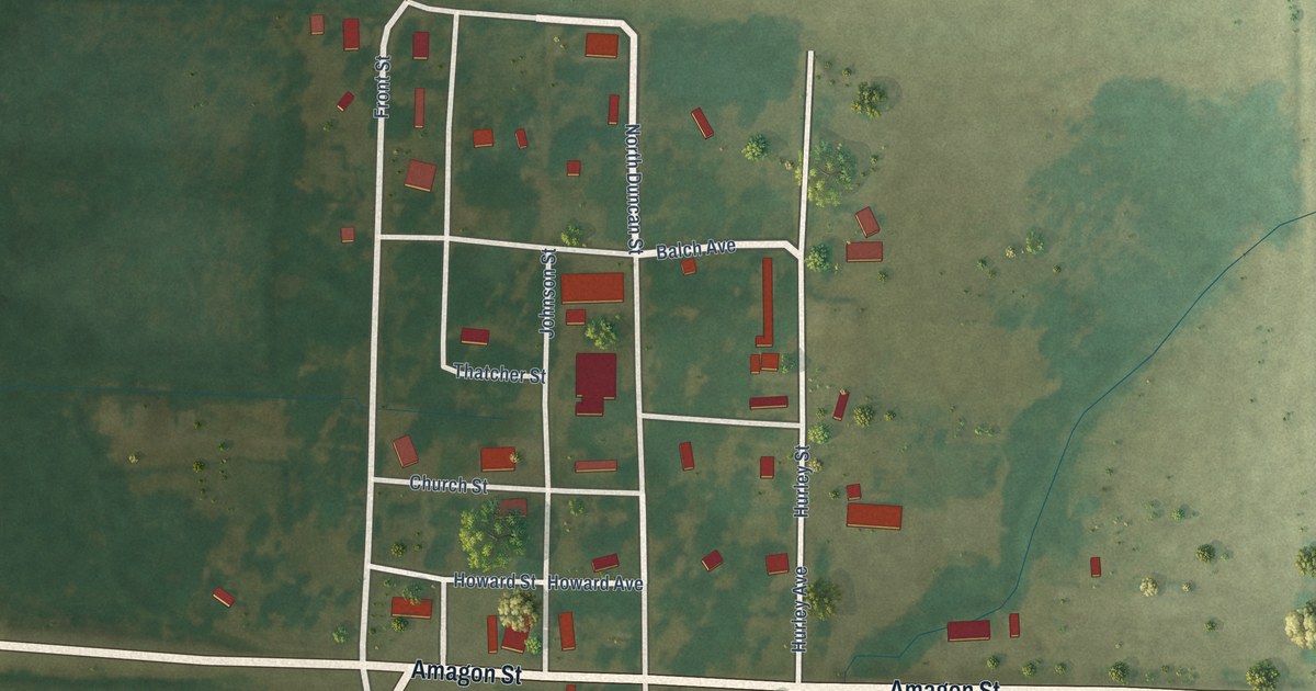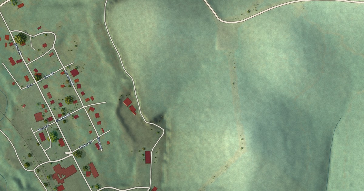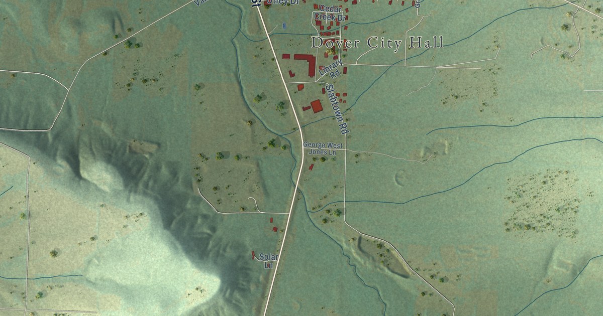
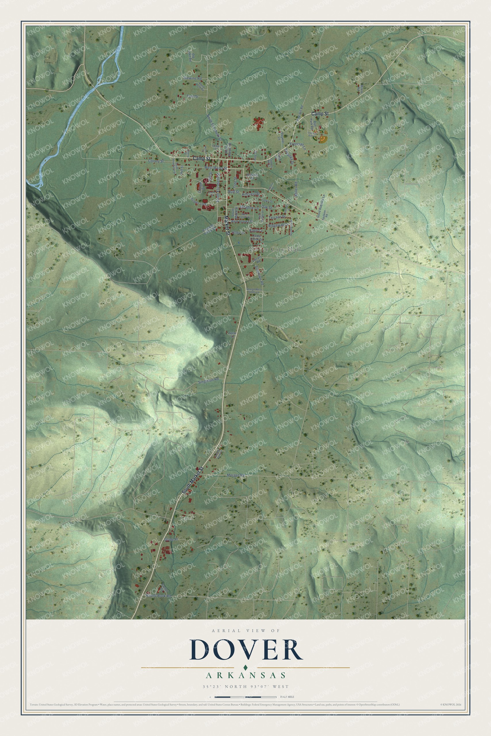
This beautifully detailed map of Dover, Arkansas was created in 2026 using aerial imagery combined with modern topographical, census, street and landmark data. It's a modern aerial view of Dover in Pope County, Arkansas, that combines modern data with a vintage aesthetic. The roads feature printed names, and if you look closely you can find your exact house accurately shown in its correct location.
Explore an aerial view of Dover, Arkansas
On this map you'll find Dover City Hall, Taral, South Market Street, Camp Street, Market Street, South Elizabeth Street, Round Rock Road, North Elizabeth Street, Morgan Road, West Water Street, Slabtown Road, Alewine Road, and more. Each red shape is a building, so zoom in on the preview and look for yours.
Here is a piece of Dover history, in the words of the record. The CALS Encyclopedia of Arkansas puts it this way: "In 1868, William E. Jamison sold eight acres in town to the Arkansas Conference of the Methodist Episcopal Church South for use in establishing a school. The conference built Dover College, which opened in early 1870 and had an enrollment exceeding 100 by June of that year."
Dover is a city in Pope County.
Take a closer look at the Dover map
Names on this map
These names are printed on this map.
Places: Dover City Hall and Taral.
Streets and roads: South Market Street, Camp Street, Market Street, South Elizabeth Street, Round Rock Road, North Elizabeth Street, Morgan Road, West Water Street, Slabtown Road, Alewine Road, Ridgeway Drive, Tom Drive.
More street names, A to Z
Ball Park Road, Bayou Bend Road, Cedar Creek Drive, Cedar Street, Cherry Street, College Street, Colony Street, Cypress Hill Lane, Davis Street, East Walker Drive, Edwards Drive, Evening Shade Lane, Faulkner Road, Forestry Road, Freeman Lane, George West Jones Lane, Glade Place, Good Robbins Lane, Grandview Drive, Hankins Drive, Hillcrest Street, Hill Street, Hull Street, Kaeli Cv, Lewis Drive, Library Road, Loper Lane, Lovelady Ball Lane, McCain Drive, Meadow Lane, Miller Road, Myers Road, North Market Street, Oak Street, Old Lake Road, Peaceful Valley Road, Pine Hill Road, Pine Street, Pirates Loop, Poynter Lane, Rachel Circle, Ruff Street, Sequoya Drive, Singleton Road, Solar Lane, South Josaphene Street, South Maple Street, Terrace Drive, Tree Street, Utley Drive, West Center Street, West Ozarka Street.
Created by KNOWOL in 2026. The buildings are small red shapes, the roads carry their printed names, and shaded relief shows the shape of the land. The title panel reads "AERIAL VIEW OF DOVER ARKANSAS" with 35°23' NORTH 93°07' WEST.
It suits a den, a classroom or a front hall, and it makes a gift for anyone with Dover roots. Open the preview and find the block you know. See sizes and frames for the Dover map.