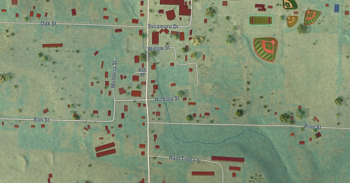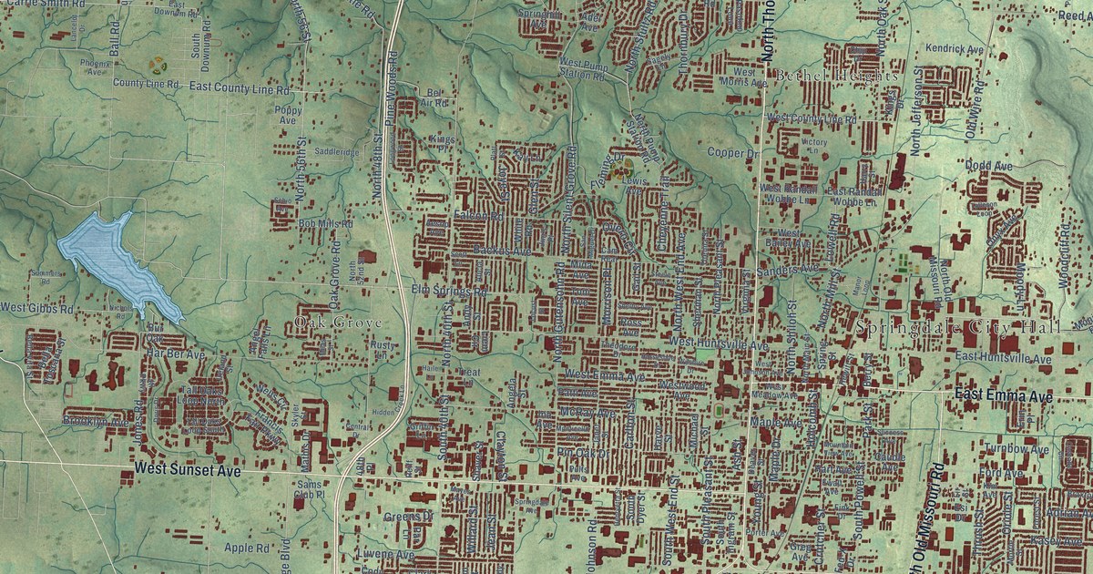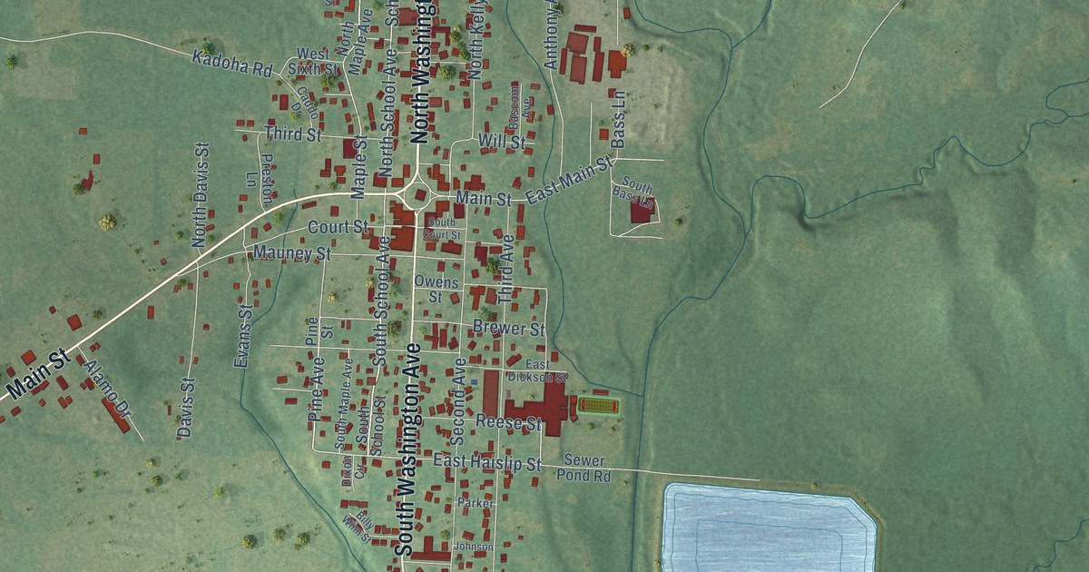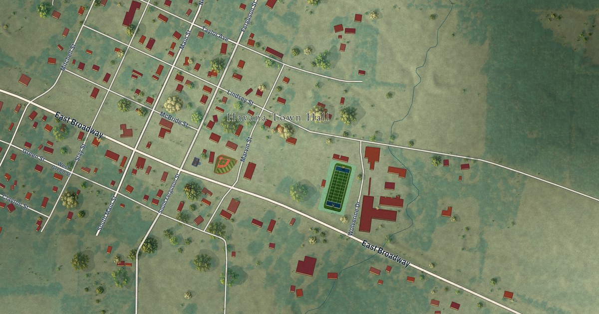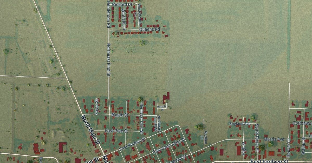
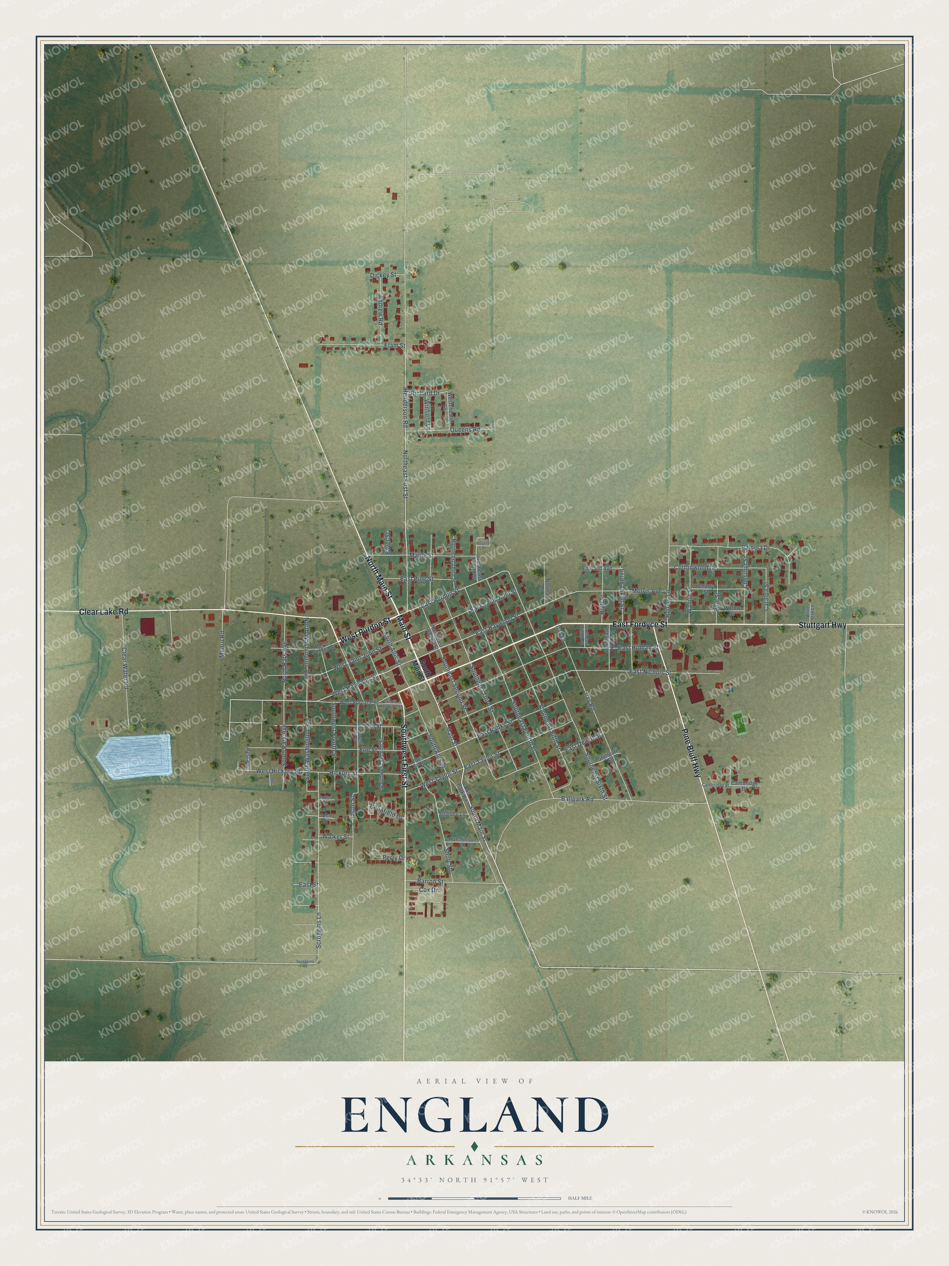
This beautifully detailed map of England, Arkansas was created in 2026 using aerial imagery combined with modern topographical, census, street and landmark data. It's a modern aerial view of England in Lonoke County, Arkansas, that combines modern data with a vintage aesthetic. The roads feature printed names, and if you look closely you can find your exact house accurately shown in its correct location.
Explore an aerial view of England, Arkansas
On this map you'll find Main Street, West Purdon Street, East Fordyce Street, Stuttgart Highway, Pine Bluff Highway, Clear Lake Road, Southwest First Street, North Main Street, South Main Street, West Haywood Street, East Purdon Street, East Haywood Street, and more. Each red shape is a building, so zoom in on the preview and look for yours.
Here is a piece of England history, in the words of the record. The CALS Encyclopedia of Arkansas puts it this way: "John Calhoun England, a landowner and lawyer for the Cotton Belt Railroad, purchased the original tracts of land that make up the town today and had them surveyed into lots. After the completion of the railroad in 1888, a township committee was formed to lay out the town and chose to name it after England."
England is a city in Lonoke County.
Take a closer look at the England map
Names on this map
These names are printed on this map.
Streets and roads: Main Street, West Purdon Street, East Fordyce Street, Stuttgart Highway, Pine Bluff Highway, Clear Lake Road, Southwest First Street, North Main Street, South Main Street, West Haywood Street, East Purdon Street, East Haywood Street.
More street names, A to Z
Andrew Road, Ash Street, Ballpark Road, Ball Park Road, Barron Street, Benafield Drive, Cambridge Drive, Cambridge Place, Catalpa Street, Cherry Street, Chestnut Street, Clear Water Road, Cottonwood Drive, Cox Drive, Delta Street, Dickey Street, East Banks Street, East Dewitt Street, East Homan Street, East Nichols Street, East Pine Street, East Saint John Street, East Street, East Taylor Street, Elam Street, Elm Street, England Avenue, Faver Street, Henderson Road, Hickory Street, High Street, Hoover Lane, Hospital Drive, Hutchinson Lane, Irvy Drive, Irvy Road, James Street, Jason Street, John Drive, Maple Street, Morris Avenue, Munro Road, Norman Lane, North Allis Street, Northeast First Street, Northeast Fourth Street, Northeast Second Street, Northeast Third Street, North Park Avenue, North Washington Avenue, Pamela Drive, Perry Drive, Pine Street, Queens Road, Rest Avenue, Richard Drive, Scroggins Lane, Scroggins Road, Shaddle Lane, Short Fordyce Street, Short Street, South Allis Street, South Dixon Street, Southeast Eighth Street, Southeast Fifth Street, Southeast Fourth Street, Southeast Ninth Street, Southeast Second Street, Southeast Sixth Street, Southeast Third Street, South Park Avenue, South Washington Avenue, Southwest Fourth Street, Southwest Second Street, Southwest Third Street, Stuttgart Street, Walker Street, Walnut Street, West Banks Street, Westchester Lane, West Fordyce Street, West Hickory Street, West Saint John Street, West Taylor Street, White Oak Lane, Willow Street, Winfield Lane.
Created by KNOWOL in 2026. The buildings are small red shapes, the roads carry their printed names, and shaded relief shows the shape of the land. The title panel reads "AERIAL VIEW OF ENGLAND ARKANSAS" with 34°33' NORTH 91°57' WEST.
It suits a den, a classroom or a front hall, and it makes a gift for anyone with England roots. Open the preview and find the block you know. See sizes and frames for the England map.