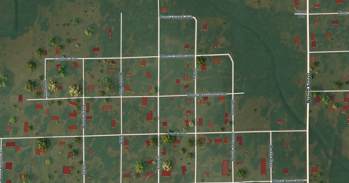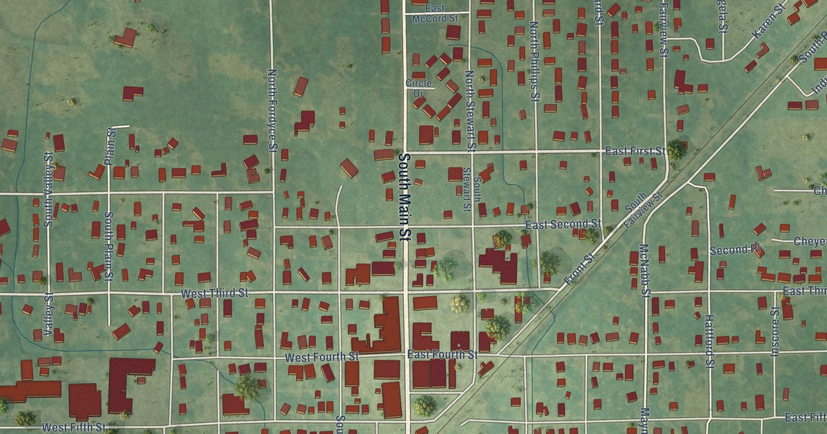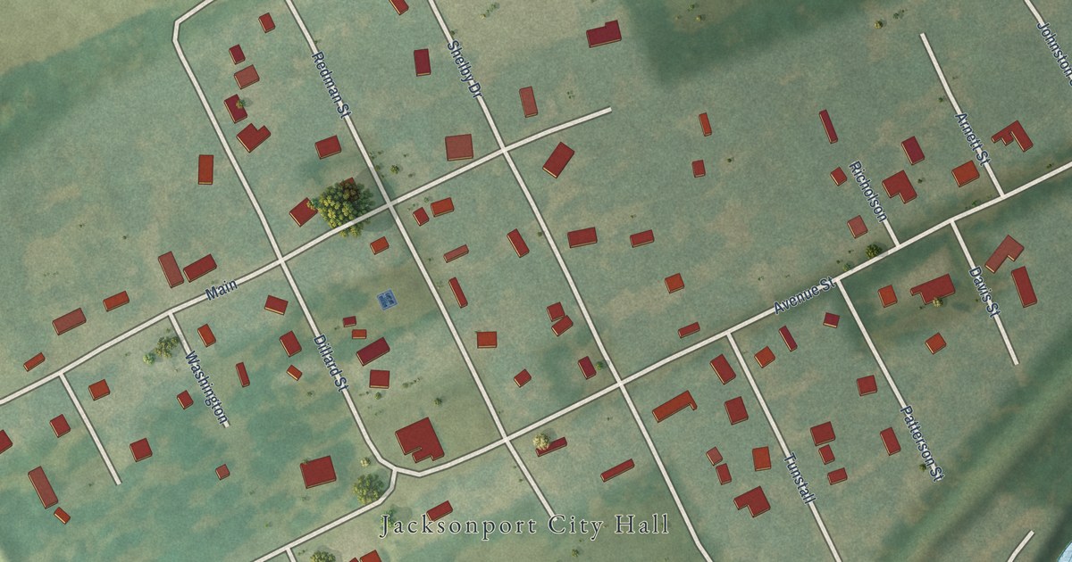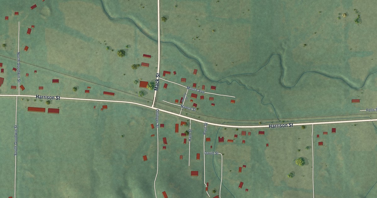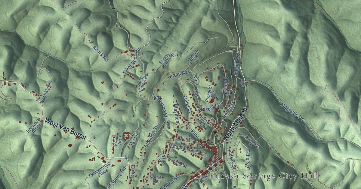
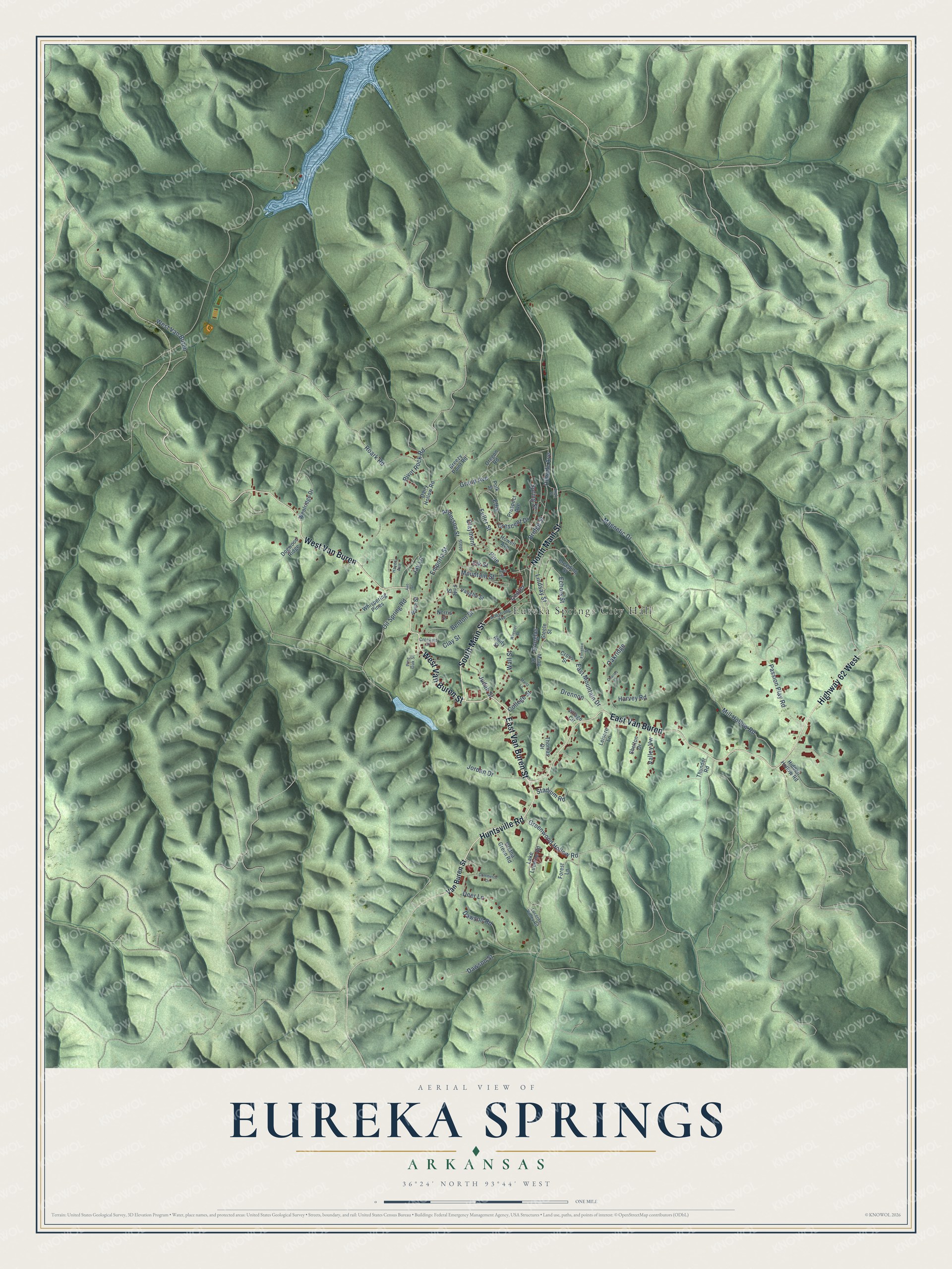
This beautifully detailed map of Eureka Springs, Arkansas was created in 2026 using aerial imagery combined with modern topographical, census, street and landmark data. It's a modern aerial view of Eureka Springs in Carroll County, Arkansas, that combines modern data with a vintage aesthetic. The roads feature printed names, and if you look closely you can find your exact house accurately shown in its correct location.
Explore an aerial view of Eureka Springs, Arkansas
On this map you'll find Eureka Springs City Hall, East Van Buren Street, South Main Street, Huntsville Road, West Van Buren Street, East Van Buren, West Van Buren, Highway 62 West, North Main Street, Center, Bridge Street, Echols Street, and more. Each red shape is a building, so zoom in on the preview and look for yours.
Eureka Springs has a story worth telling. The CALS Encyclopedia of Arkansas puts it this way: "The city was formally founded on July 4, 1879, when Saunders built the first house, and more people arrived every day to take advantage of the springs."
Eureka Springs is a city in Carroll County.
Take a closer look at the Eureka Springs map
Names on this map
These names are printed on this map.
Places: Eureka Springs City Hall.
Streets and roads: East Van Buren Street, South Main Street, Huntsville Road, West Van Buren Street, East Van Buren, West Van Buren, Highway 62 West, North Main Street, Center, Bridge Street, Echols Street, Lindsay Street.
More street names, A to Z
Amity Street, Anderson Street, Angle Street, Armstrong Avenue, Avo Street, Benton Street, Breeding Street, Breezy Point Road, Charles Circle, Claymont, Clay Street, College Street, Commerce Drive, Crescent Drive, Crockett Street, Cross Street, Dairy Hollow Road, Dawson Road, Dawson Street, Deer Lane, Dogwood Ridge, Douglas, Drennon, East Mountain Drive, Elk Street, Ellis, Emporia Street, Florence Street, Forest Lane, Fritz Street, Fuller Street, Grand Avenue, Greenwood Hollow Road, Gretna Green Road, Harvey Road, Hayes Avenue, Hidden Hollow Road, Hillside Avenue, Howell Avenue, Jay Lane, Jordan Drive, Judah Street, Lake Lucerne Road, Leisure Lane, Lucerne Valley Road, Magnetic Drive, Martz Lane, Mill Hollow Road, Ming Street, Mountain Street, Norris Street, Nova Street, Oakridge, Oil Spring Road, Oregon Road, Owen Street, Passion Play Road, Pine, Pine Oak Street, Pivot Rock Road, Polk Street, Prospect Avenue, Roark Road, Shelton Drive, Spring Street, Stadium Road, Steele Street, Stepp, Thomas Drive, Thunder Road, Valley Vw, Van Buren Street, Vaughn Street, Village Circle, Wall Street, Wheeler Street, Whispering Pines, Woolridge Drive.
Created by KNOWOL in 2026. The buildings are small red shapes, the roads carry their printed names, and shaded relief shows the shape of the land. The title panel reads "AERIAL VIEW OF EUREKA SPRINGS ARKANSAS" with 36°24' NORTH 93°44' WEST.
It looks right in a kitchen, an office or a den, and it's a gift for anyone who grew up in Eureka Springs or moved away. Open the preview and find your street. See sizes and frames for the Eureka Springs map.