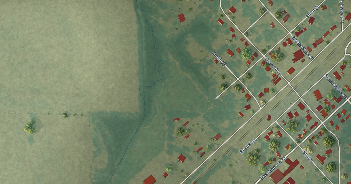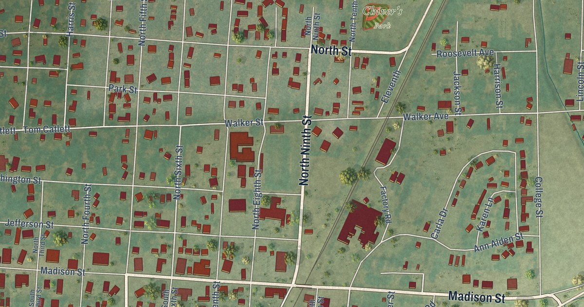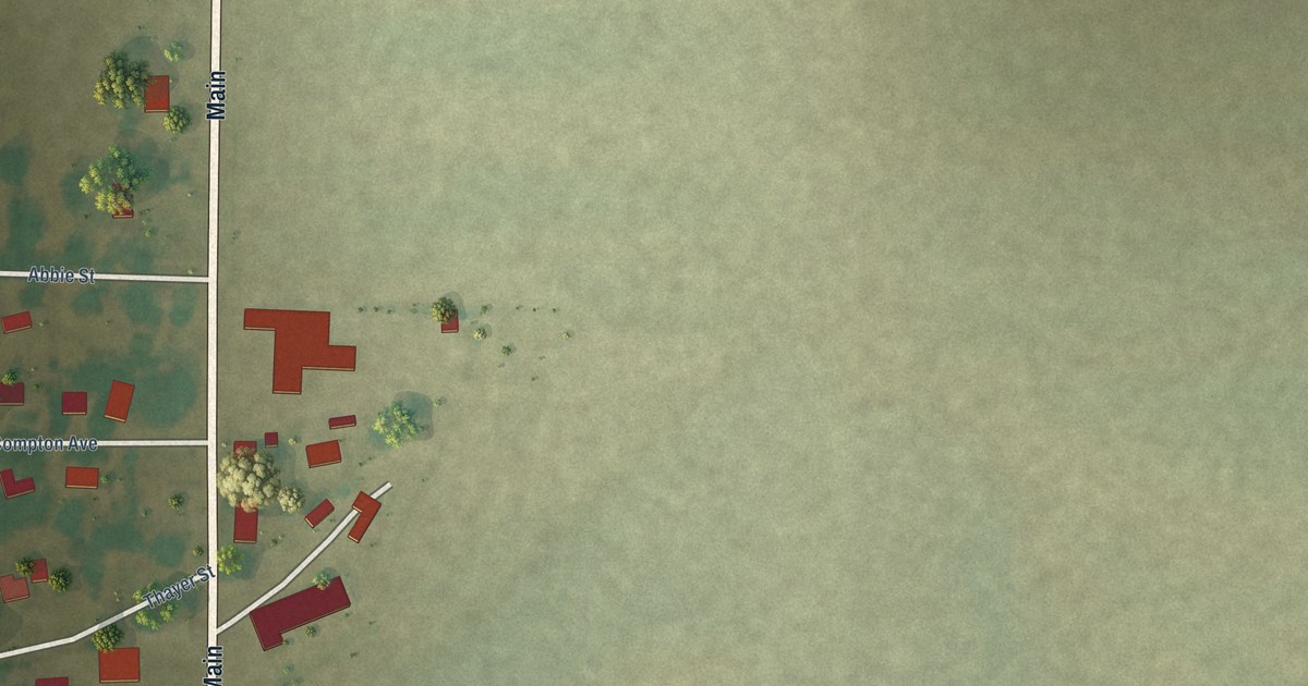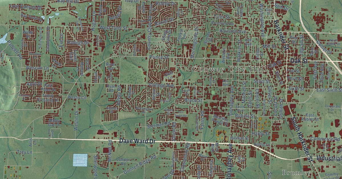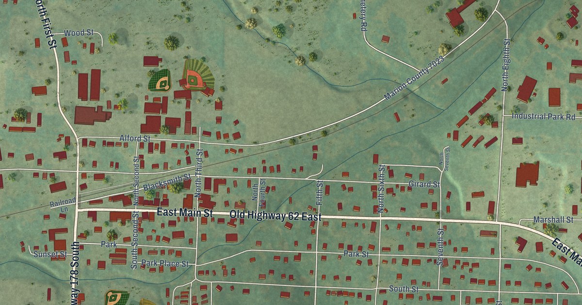
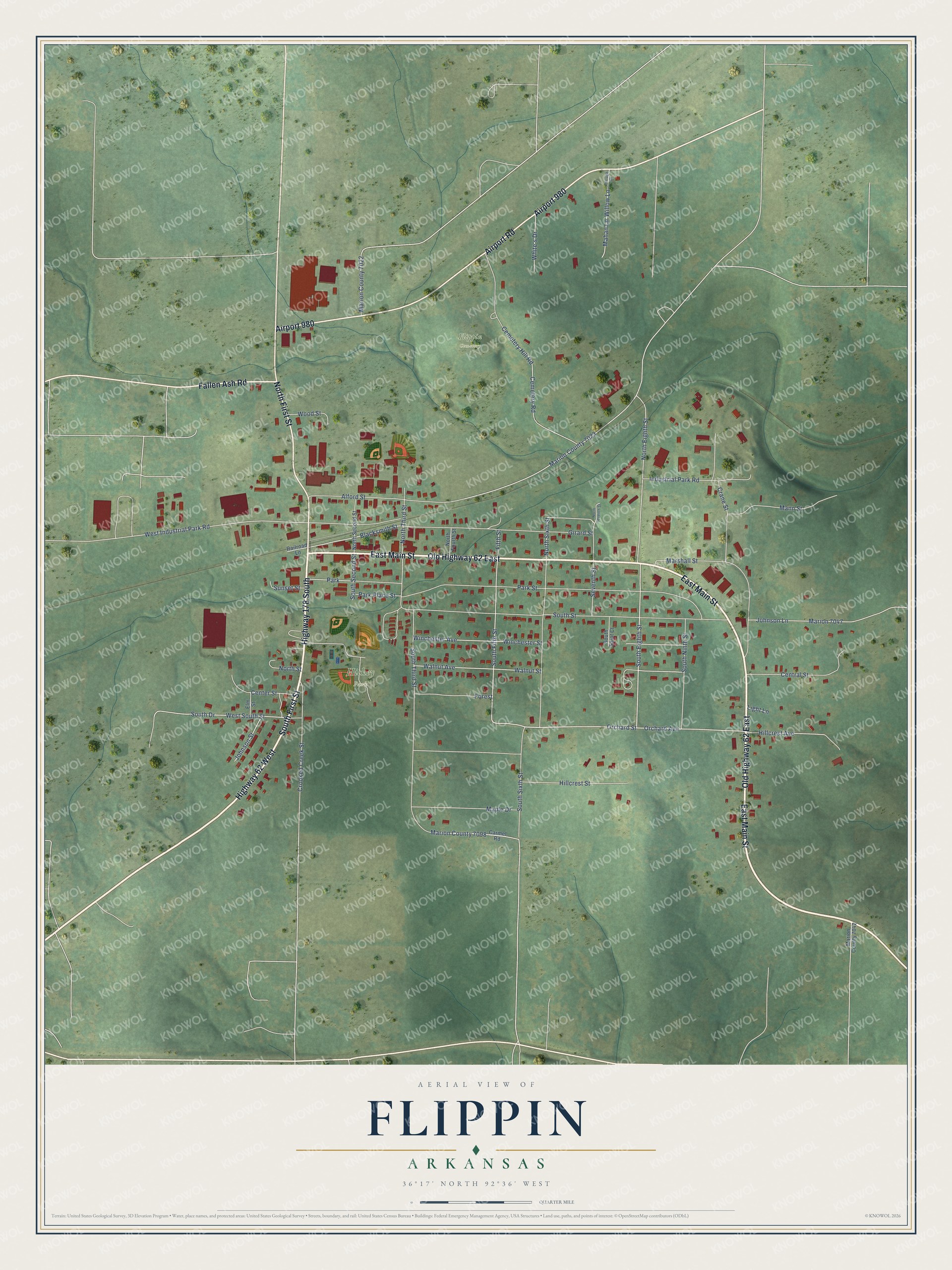
This beautifully detailed map of Flippin, Arkansas was created in 2026 using aerial imagery combined with modern topographical, census, street and landmark data. It's a modern aerial view of Flippin in Marion County, Arkansas, that combines modern data with a vintage aesthetic. The roads feature printed names, and if you look closely you can find your exact house accurately shown in its correct location.
Explore an aerial view of Flippin, Arkansas
On this map you'll find Hickey Park, Flippin Cemetery, East Main Street, Old Highway 62 East, Highway 178 South, South First Street, Airport 980, Airport Road, Highway 62 West, North First Street, Fallen Ash Road, Orchard Street, and more. Each red shape is a building, so zoom in on the preview and look for yours.
Here is a piece of Flippin history, in the words of the record. The CALS Encyclopedia of Arkansas puts it this way: "Flippin Barrens lasted until the beginning of the 1900s, when activity moved closer to the White River Railway railroad line. Businesses sprang up along the line, and a main street was established nearby. In 1921, the town was officially incorporated as Flippin, with James M. Keeter elected as its first mayor."
Flippin is a city in Marion County.
Take a closer look at the Flippin map
Names on this map
These names are printed on this map.
Places: Hickey Park, Flippin Cemetery and Park.
Streets and roads: East Main Street, Old Highway 62 East, Highway 178 South, South First Street, Airport 980, Airport Road, Highway 62 West, North First Street, Fallen Ash Road, Orchard Street, Fifth Street, South Eighth Street.
More street names, A to Z
Alford Street, Blacksmith Street, Carmel Road, Cemetery Hill Road, Cemetery Road, Center Street, Central Street, Crane Street, Crooked Creek Street, Elm Street, Forest, Girard Street, Hillcrest Avenue, Hillcrest Street, Industrial Park Road, Johnson Lane, Johnson Street, Light Lane, Mahan Lane, Mann Street, Maple Drive, Marion 7047, Marion County 7022, Marion County 7023, Marion County 7042, Marion County 7098, Marshall Street, North Eighth Street, North Fourth Street, North Second Street, North Seventh Street, North Sixth Street, North Street, North Third Street, Orchard Avenue, Park Place Street, Park Street, Porrogh Drive, Railroad Lane, Seventh Street, South Drive, South Fifth Street, South Ninth Street, South Saint Court, South Second Street, South Sixth Street, South Street, South Third Street, Sunset Street, Walnut Avenue, Walnut Street, West Industrial Park Road, West South Street, White's Drive, Willow Lane, Winchester Avenue, Winchester Street, Wood Street.
Created by KNOWOL in 2026. The buildings are small red shapes, the roads carry their printed names, and shaded relief shows the shape of the land. The title panel reads "AERIAL VIEW OF FLIPPIN ARKANSAS" with 36°17' NORTH 92°36' WEST.
It suits a den, a classroom or a front hall, and it makes a gift for anyone with Flippin roots. Open the preview and find the block you know. See sizes and frames for the Flippin map.