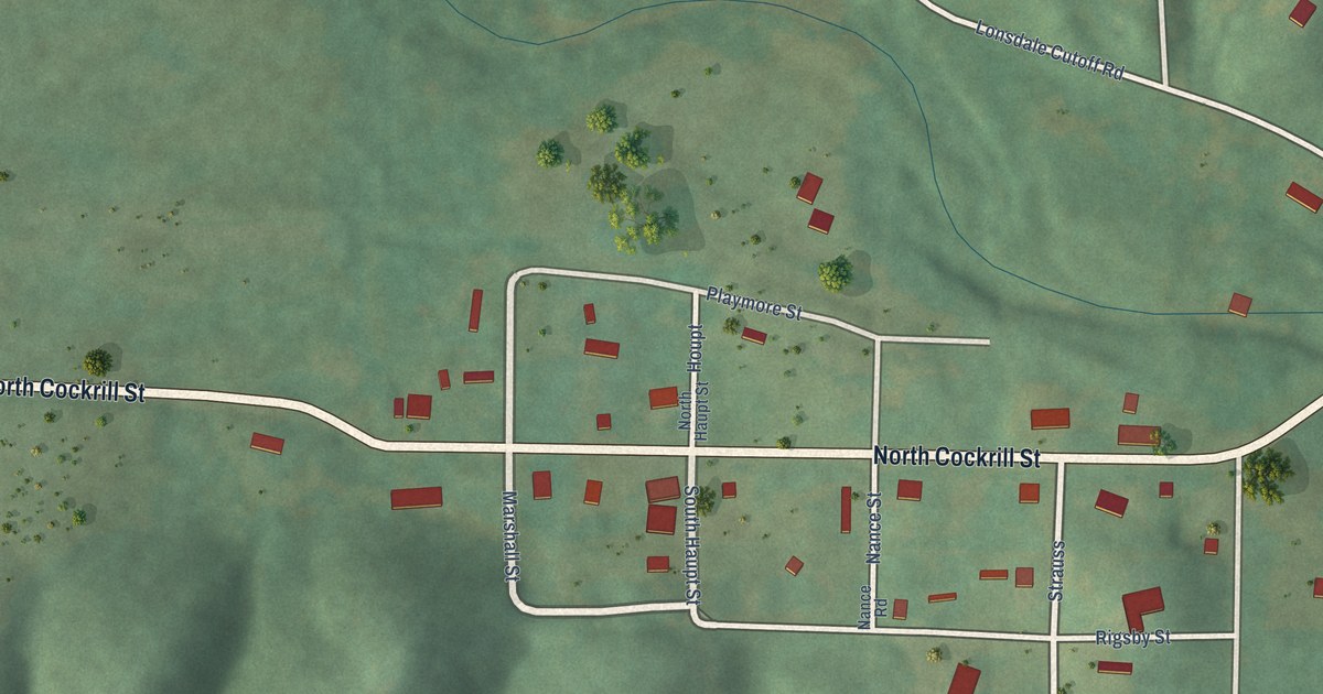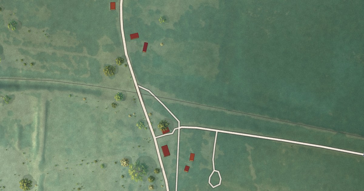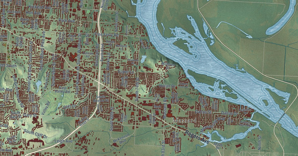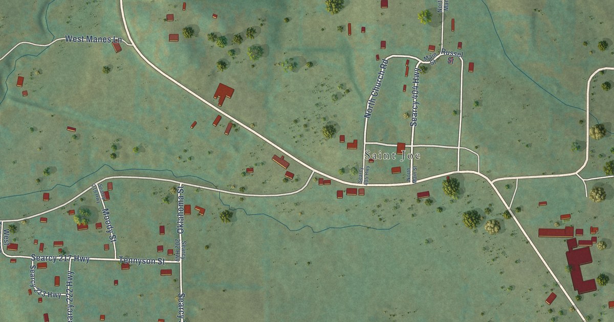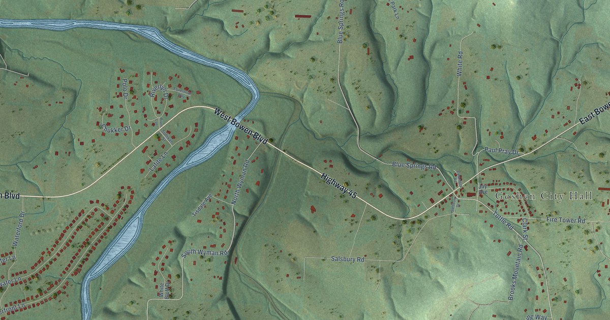
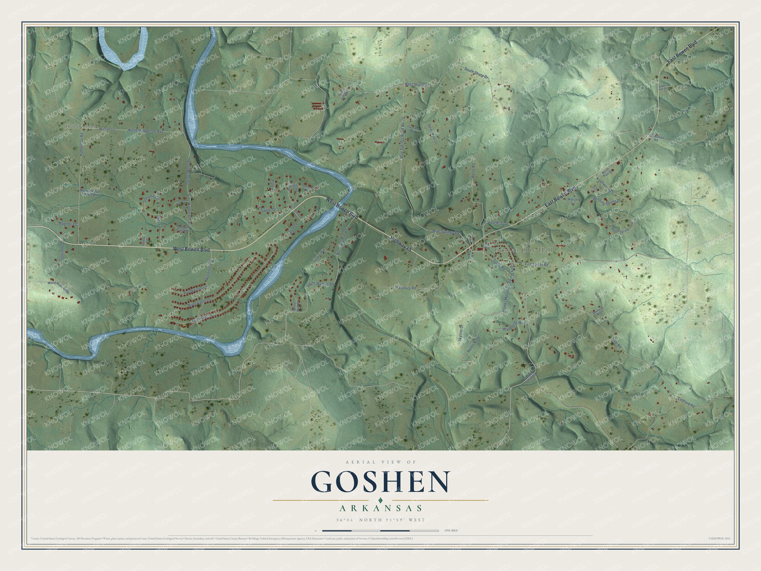
This beautifully detailed map of Goshen, Arkansas was created in 2026 using aerial imagery combined with modern topographical, census, street and landmark data. It's a modern aerial view of Goshen in Washington County, Arkansas, that combines modern data with a vintage aesthetic. The roads feature printed names, and if you look closely you can find your exact house accurately shown in its correct location.
Explore an aerial view of Goshen, Arkansas
On this map you'll find Goshen City Hall, Habberton, West Bowen Boulevard, East Bowen Boulevard, Highway 45, Tuttle Road, South Wyman Road, Knollwood Drive, Hale Road, Blue Springs Road, Blue Springs Road Wc 70, Fire Tower Road, and more. Each red shape is a building, so zoom in on the preview and look for yours.
Here is a piece of Goshen history, in the words of the record. The CALS Encyclopedia of Arkansas puts it this way: "Called College Grove when it opened in 1874, the name was changed to Goshen in 1876. By the 1880s, the community had two stores, a flour and meal mill, and a small schoolhouse that also served as a church."
Goshen is a city in Washington County.
Take a closer look at the Goshen map
Names on this map
These names are printed on this map.
Places: Goshen City Hall and Habberton.
Streets and roads: West Bowen Boulevard, East Bowen Boulevard, Highway 45, Tuttle Road, South Wyman Road, Knollwood Drive, Hale Road, Blue Springs Road, Blue Springs Road Wc 70, Fire Tower Road, East Habberton Street, Riverfront Lane.
More street names, A to Z
Abbey Lane, Bernard Avenue, Brooks Mountain Road, Brookwater Lane, Cemetery Road, Christman Road, Chukker Drive, Clark Street, Creekstone Drive, Crooked Creek Place, Equestrian Way, Goshen Tuttle Road, Habberton Road, Jay Avenue, Lafite Lane, Ledford Road, Lee Parker Avenue, Magnolia Court, Misty Valley Lane, Mount Vernon Church Road, Napa Drive, North Habberton Avenue, North Trail Drive, North Wyman Road, Oxford Bend Road, Paul Pray Drive, Petes Way, Polo Drive, River Lyn, Riverlyn Drive, River Rock Circle, Riverwater Lane, Salsbury Drive, Salsbury Road, Silent Oak Drive, Skyline Drive, Sonoma Circle, South Sharp Drive, South Spring Loop, Spring Park Lane, Sullivan Street, Tisdale Avenue, Trail Bluff Drive, Wandering Way, Waterford Drive, Watson Circle, West Sharp Drive, White Bluff Drive, White River Ridge, White Road, Wilson Lane, Winding Spring Drive.
Created by KNOWOL in 2026. The buildings are small red shapes, the roads carry their printed names, and shaded relief shows the shape of the land. The title panel reads "AERIAL VIEW OF GOSHEN ARKANSAS" with 36°06' NORTH 93°59' WEST.
It suits a den, a classroom or a front hall, and it makes a gift for anyone with Goshen roots. Open the preview and find the block you know. See sizes and frames for the Goshen map.