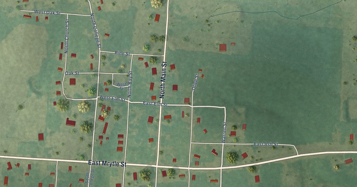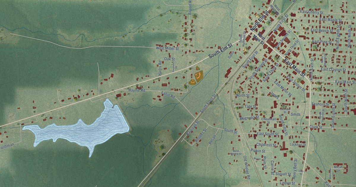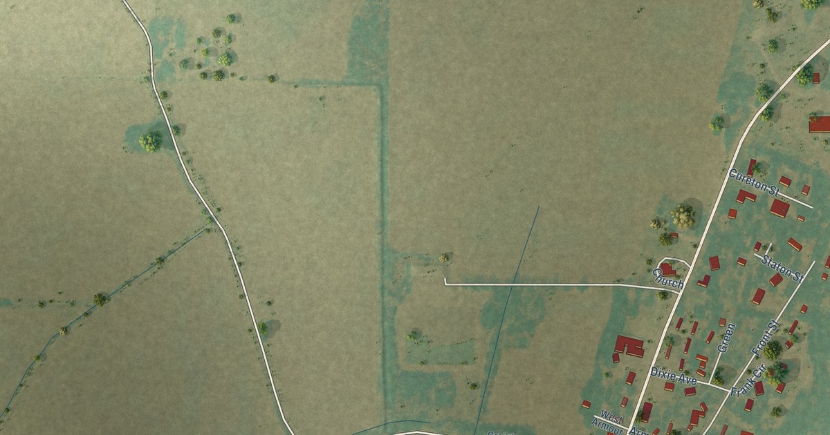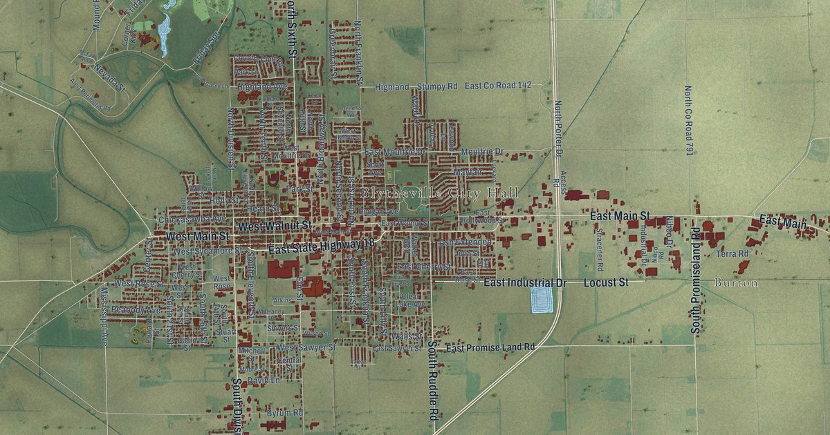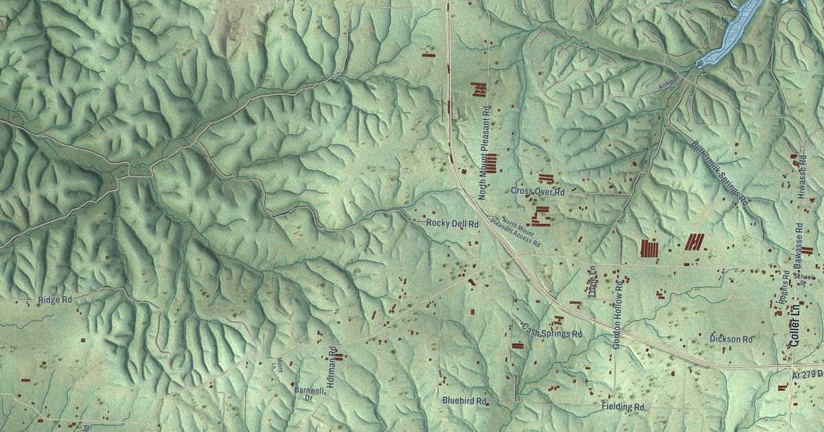
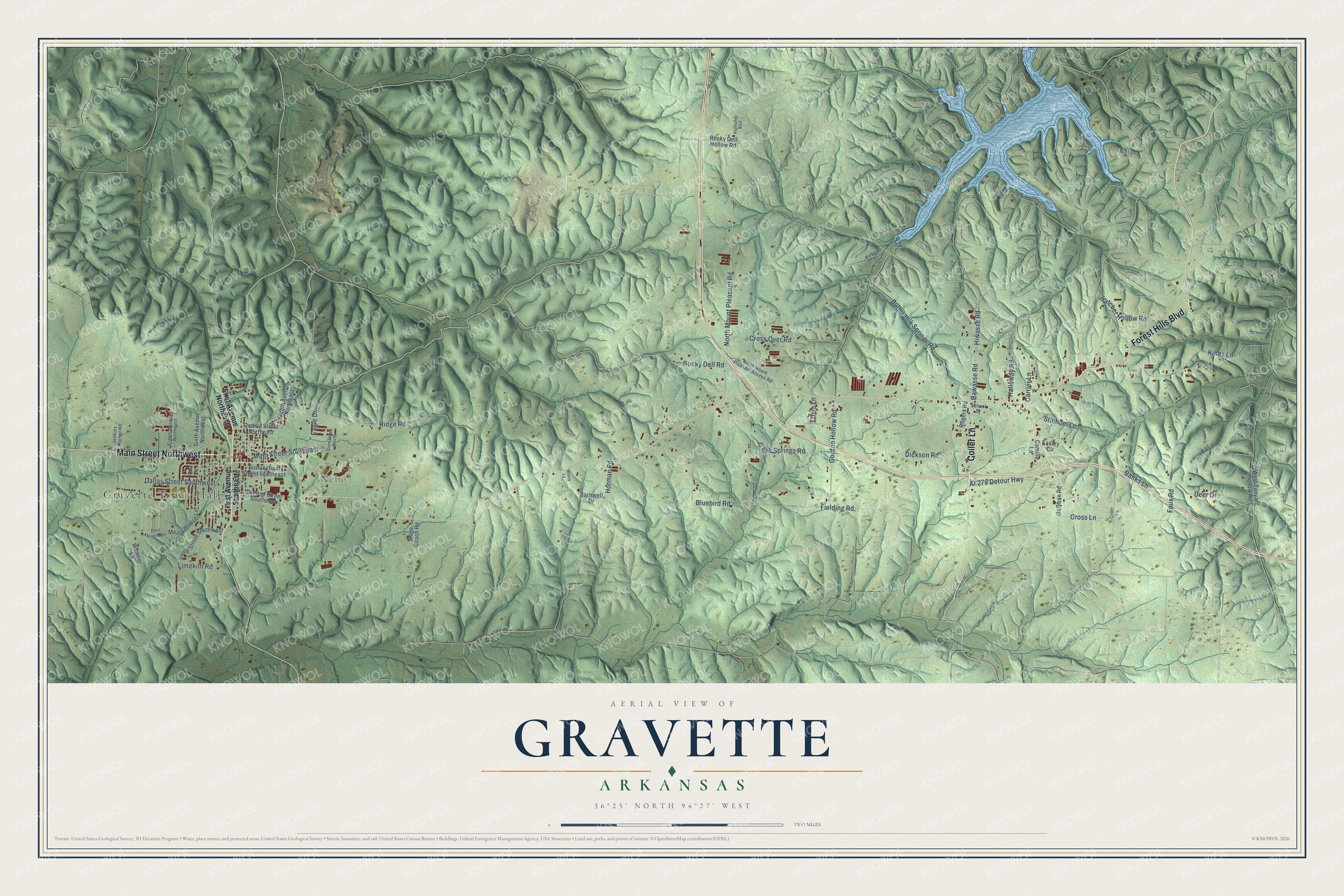
This beautifully detailed map of Gravette, Arkansas was created in 2026 using aerial imagery combined with modern topographical, census, street and landmark data. It's a modern aerial view of Gravette in Benton County, Arkansas, that combines modern data with a vintage aesthetic. The roads feature printed names, and if you look closely you can find your exact house accurately shown in its correct location.
Explore an aerial view of Gravette, Arkansas
On this map you'll find Gravette Town Hall, Nebo, Forest Hills Boulevard, Main Street Northwest, Coller Lane, Main Street Southeast, Hawasse Road, Fielding Road, Limekiln Road, Bluebird Road, North Mount Pleasant Road, Gordon Hollow Road, and more. Each red shape is a building, so zoom in on the preview and look for yours.
Here is a piece of Gravette history, in the words of the record. The CALS Encyclopedia of Arkansas puts it this way: "With E. T. Gravett managing the project, the land was platted for the original town, and papers were filed July 26, 1893. The town of Gravette received its charter on August 9, 1893."
Gravette is a city in Benton County.
Take a closer look at the Gravette map
Names on this map
These names are printed on this map.
Places: Gravette Town Hall and Nebo.
Streets and roads: Forest Hills Boulevard, Main Street Northwest, Coller Lane, Main Street Southeast, Hawasse Road, Fielding Road, Limekiln Road, Bluebird Road, North Mount Pleasant Road, Gordon Hollow Road, Dickson Road, Faux Road.
More street names, A to Z
Ar 279 Detour Highway, Banks Lane, Barnwell Drive, Birmingham Street Southeast, Buttermilk Springs Road, Camille Lane, Carrier Lane, Cash Springs Road, Cross Lane, Cross Over Road, Dallas Street Southwest, Deer Drive, Detroit Street Northeast, Eagle Drive, Easley Circle, Eighth Avenue Northeast, Eighth Avenue Northwest, El Paso Street Southeast, First Avenue Northeast, First Avenue Southeast, Galyean Road, Halloway Road, Hatcher Hollow Road, Highlands Boulevard, Hiwasse Road, Horman Road, Irving Street Southwest, Jenkins Corner Road, Kings Lane, Kirkwall Drive, Lion Drive North, Loyle Lane, Meadowmere Lane, Moore Lane, North Mount Pleasant Access Road, Plant Access Road, Ridge Road, Rocky Dell Hollow Road, Rocky Dell Road, Rogers Road, School Street, Sixth Avenue Northwest, Sixth Place, Stage Coach Road, Stidham Lane, West Tanyard Hollow Road, Whitmer Lane.
Created by KNOWOL in 2026. The buildings are small red shapes, the roads carry their printed names, and shaded relief shows the shape of the land. The title panel reads "AERIAL VIEW OF GRAVETTE ARKANSAS" with 36°25' NORTH 94°27' WEST.
It suits a den, a classroom or a front hall, and it makes a gift for anyone with Gravette roots. Open the preview and find the block you know. See sizes and frames for the Gravette map.