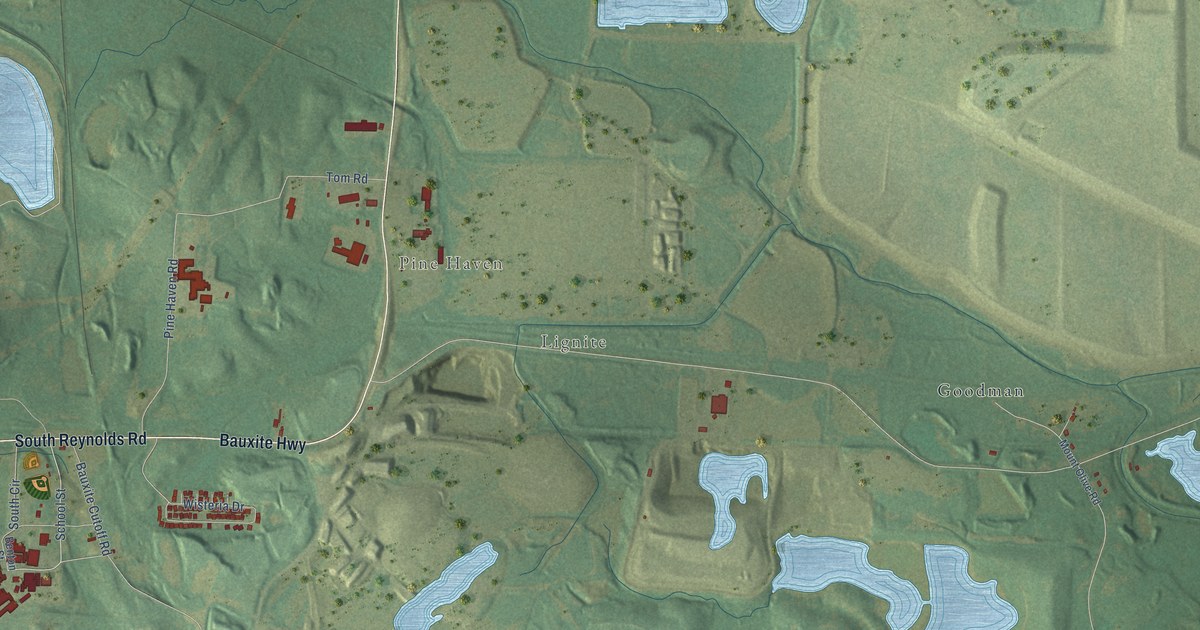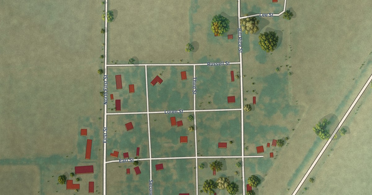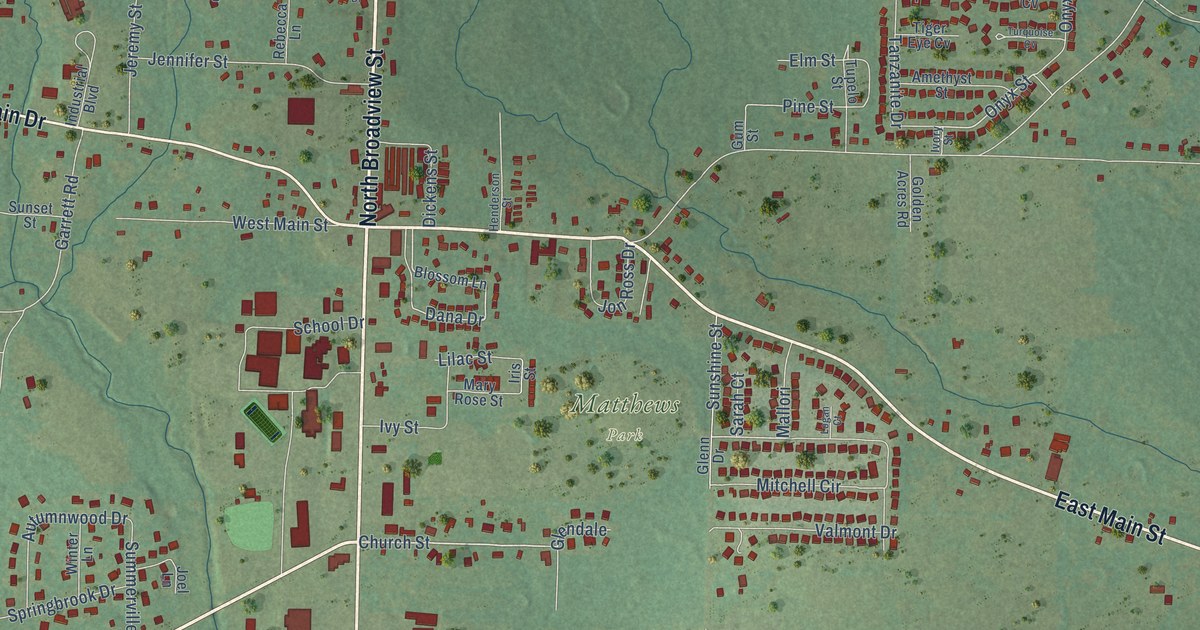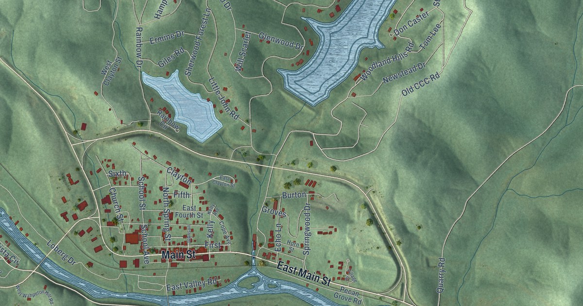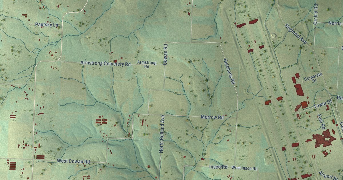
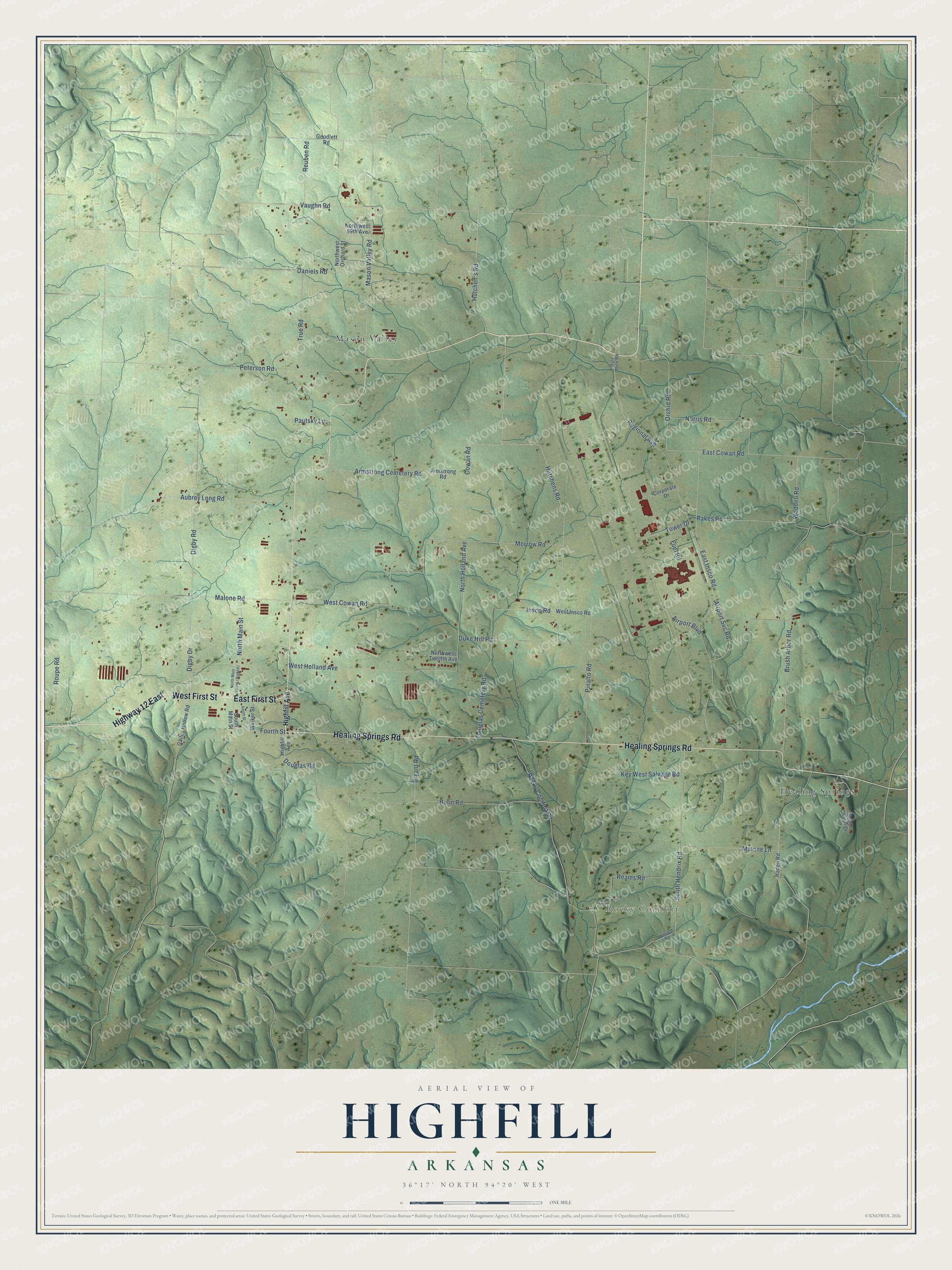
This beautifully detailed map of Highfill, Arkansas was created in 2026 using aerial imagery combined with modern topographical, census, street and landmark data. It's a modern aerial view of Highfill in Benton County, Arkansas, that combines modern data with a vintage aesthetic. The roads feature printed names, and if you look closely you can find your exact house accurately shown in its correct location.
Explore an aerial view of Highfill, Arkansas
On this map you'll find Rocky Comfort, Healing Springs, Mason Valley, East First Street, West First Street, Highway 12 East, Healing Springs Road, Hutchens Road, Hutchen's Road, Insco Road, Orchid Road, Fourth Street, and more. Each red shape is a building, so zoom in on the preview and look for yours.
Every town has a first chapter, and Highfill is no exception. The CALS Encyclopedia of Arkansas puts it this way: "The town was named for Hezekiah Highfill, a Civil War veteran who bought land near Woodward’s and Gorden’s tracts of land in 1885. All three families established apple orchards on their land."
Highfill is a city in Benton County.
Take a closer look at the Highfill map
Names on this map
These names are printed on this map.
Places: Rocky Comfort, Healing Springs and Mason Valley.
Streets and roads: East First Street, West First Street, Highway 12 East, Healing Springs Road, Hutchens Road, Hutchen's Road, Insco Road, Orchid Road, Fourth Street, Cowan Road, Regional Avenue, Brush Arbor Road.
More street names, A to Z
Airport Boulevard, Airport Svc Road, Armstrong Cemetery Road, Armstrong Road, Aubrey Long Road, Beau Chalet Drive, Bolin Road, Bryant Road, Corporate Drive, Dale Rice Road, Daniels Road, Digby Drive, Digby Road, Douglas Cemetery Road, Douglas Road, Duke Hill Road, East Cowan Road, East Insco Road, Fuel Road, Gailey Hollow Road, Goodlett Road, Haden Road, Highfill Avenue, Holland Road, Key West Salvage Road, Malone Lane, Malone Road, Mason Valley Road, Morrow Road, Norris Road, North Holland Avenue, North Main Street, Northwest 69th Avenue, Northwest Orchard Street, Northwest Twelfth Avenue, Pautsky Lane, Peterson Road, Pinalto Road, Rakes Road, Reams Road, Reuben Road, Rocky Comfort Road, Roupe Road, Smith Street, South Hendrix Road, South Main Street, Tower Drive, True Road, Vaughn Road, Waddell Road, Walker Street, West Cowan Road, West Holland Avenue, West Insco Road.
Created by KNOWOL in 2026. The buildings are small red shapes, the roads carry their printed names, and shaded relief shows the shape of the land. The title panel reads "AERIAL VIEW OF HIGHFILL ARKANSAS" with 36°17' NORTH 94°20' WEST.
Hang it in the hallway, the office or the cabin, or give it to someone who left Highfill and still calls it home. Open the preview and look for a street you know. See sizes and frames for the Highfill map.