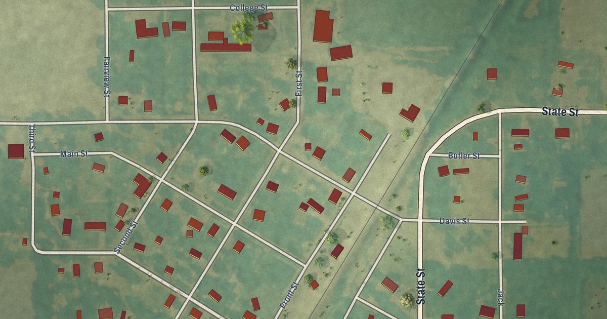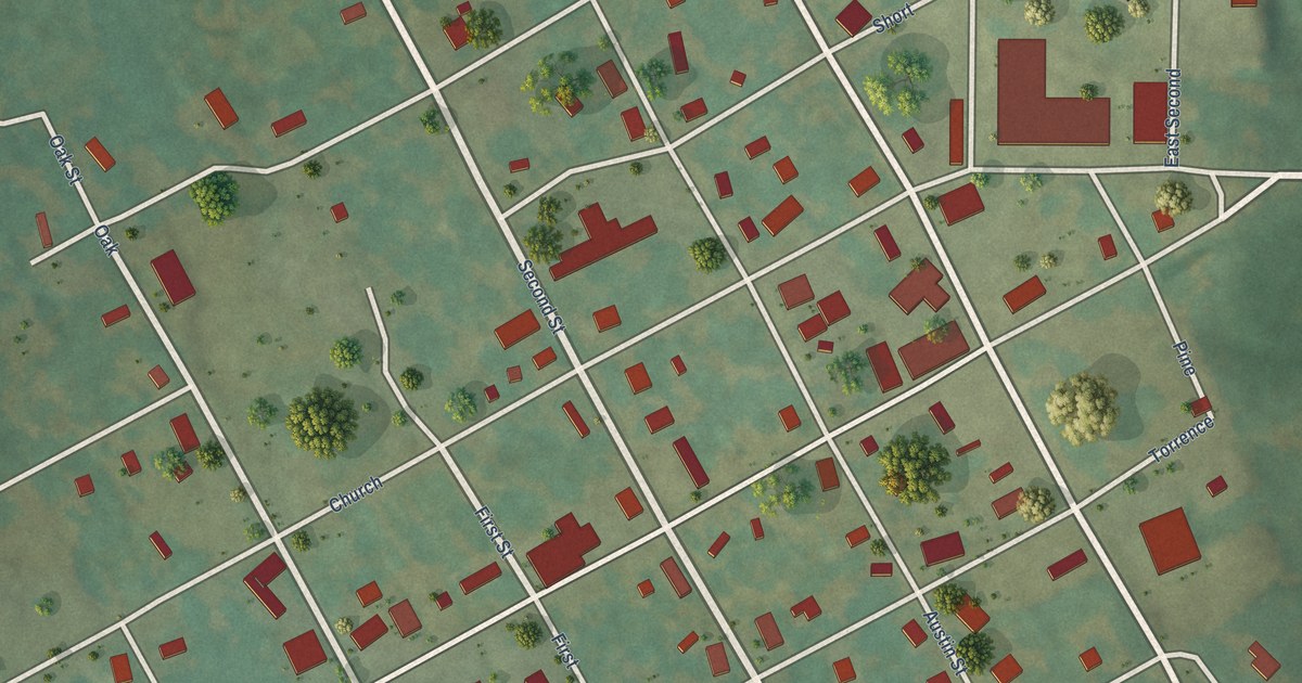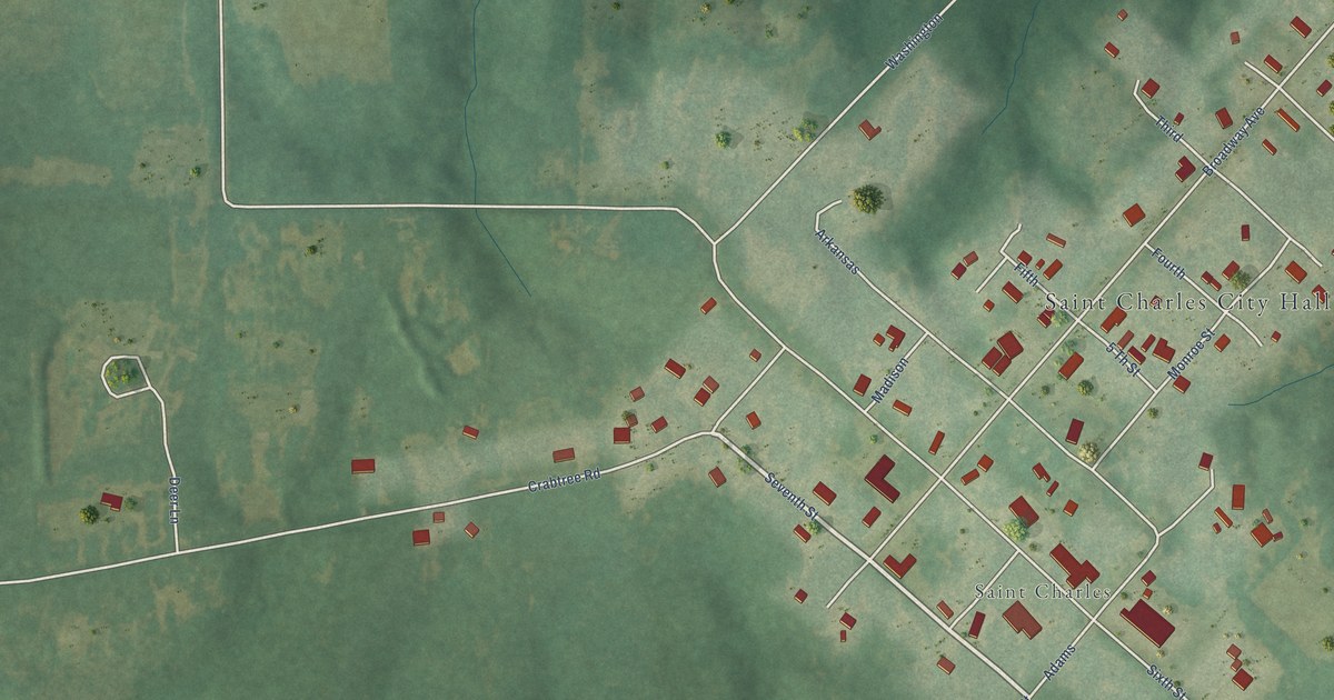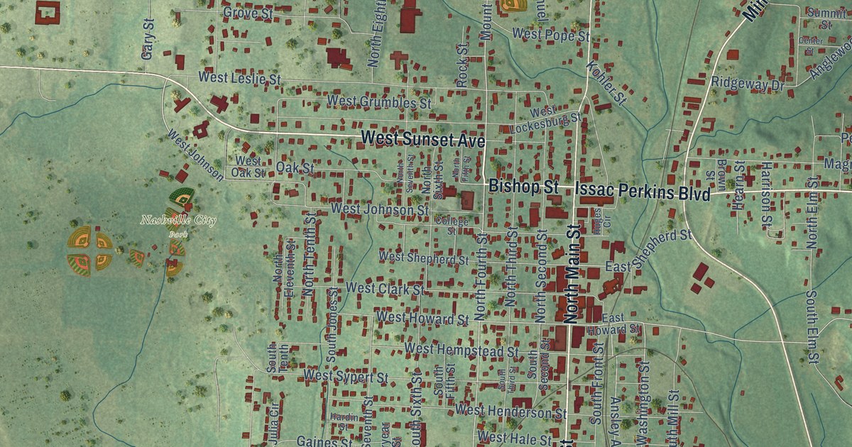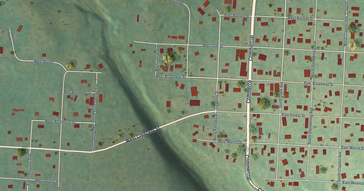
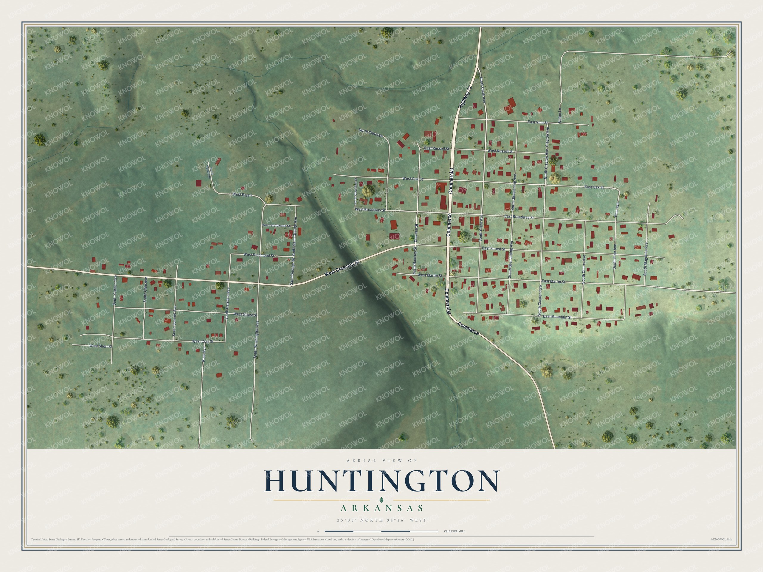
This beautifully detailed map of Huntington, Arkansas was created in 2026 using aerial imagery combined with modern topographical, census, street and landmark data. It's a modern aerial view of Huntington in Sebastian County, Arkansas, that combines modern data with a vintage aesthetic. The roads feature printed names, and if you look closely you can find your exact house accurately shown in its correct location.
Explore an aerial view of Huntington, Arkansas
On this map you'll find Commercial, Highway 71, Commerce, West Crescent Street, South Clark Avenue, North Clark Avenue, West Broadway Street, East Vine Street, North Clayton Avenue, Clayton Avenue, West Richmond Street, South Harrison Avenue, and more. Each red shape is a building, so zoom in on the preview and look for yours.
Here is a piece of Huntington history, in the words of the record. The CALS Encyclopedia of Arkansas puts it this way: "In time, three large coal mines were operating in the immediate area. The company laid out a city for its workers on the hillside, naming the new city Huntington after a mine superintendent who had died in the area when the horse he was riding jumped off a bridge."
Huntington is a city in Sebastian County.
Take a closer look at the Huntington map
Names on this map
These names are printed on this map.
Streets and roads: Commercial, Highway 71, Commerce, West Crescent Street, South Clark Avenue, North Clark Avenue, West Broadway Street, East Vine Street, North Clayton Avenue, Clayton Avenue, West Richmond Street, South Harrison Avenue.
More street names, A to Z
Chateau Street, East Broadway Street, East Forest Street, East Martin Street, East Mountain Street, East Oak Street, East Russell Street, North Cherokee Street, North Choctaw, North Glendening Avenue, North Ramsey Street, North Raymond, Pine Avenue, Ross Avenue, Saint George Road, South Carbon Avenue, South Cherry Avenue, South Clayton Avenue, South Glen Avenue, South Glendening Avenue, South Magnolia Avenue, South Pine Avenue, South Saint George Avenue, South Summit Avenue, South Washington Avenue, Upton Lane, West Braidwood Street, West Bryan, West Clay Street, West Grace Street, West Martin Street, West Oak Street, West Russell Street, West Short Street.
Created by KNOWOL in 2026. The buildings are small red shapes, the roads carry their printed names, and shaded relief shows the shape of the land. The title panel reads "AERIAL VIEW OF HUNTINGTON ARKANSAS" with 35°05' NORTH 94°16' WEST.
It suits a den, a classroom or a front hall, and it makes a gift for anyone with Huntington roots. Open the preview and find the block you know. See sizes and frames for the Huntington map.