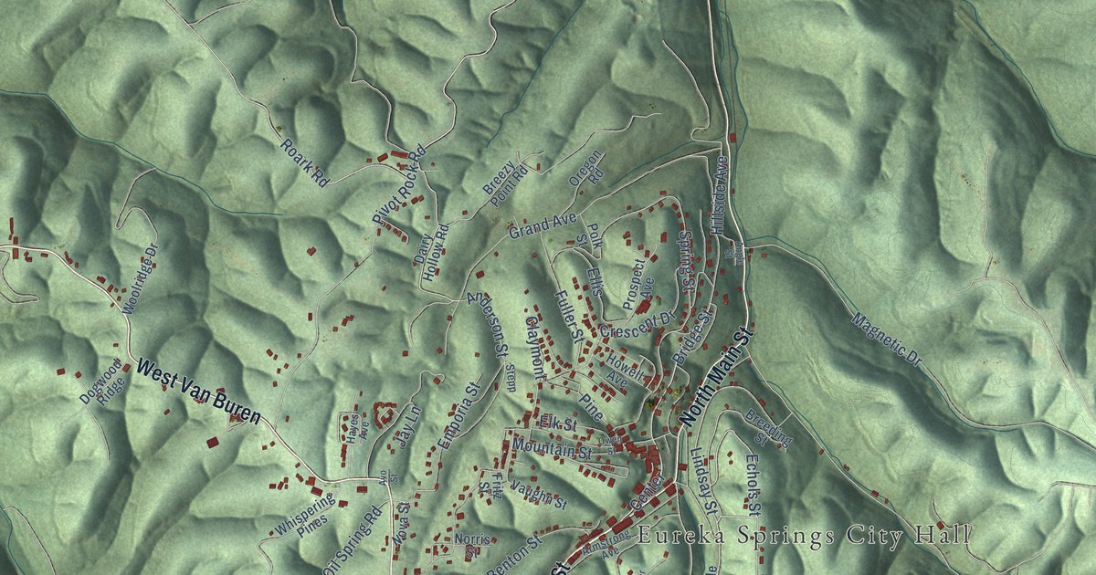
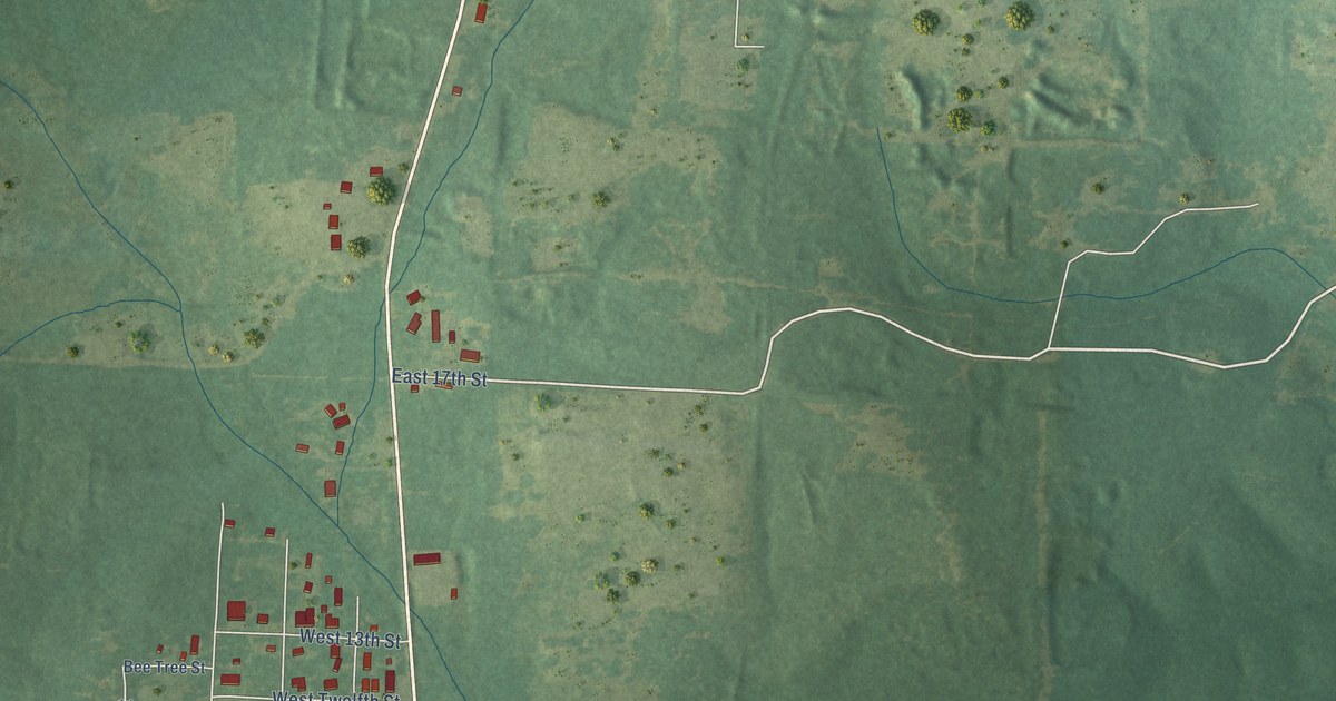
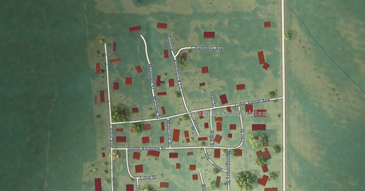
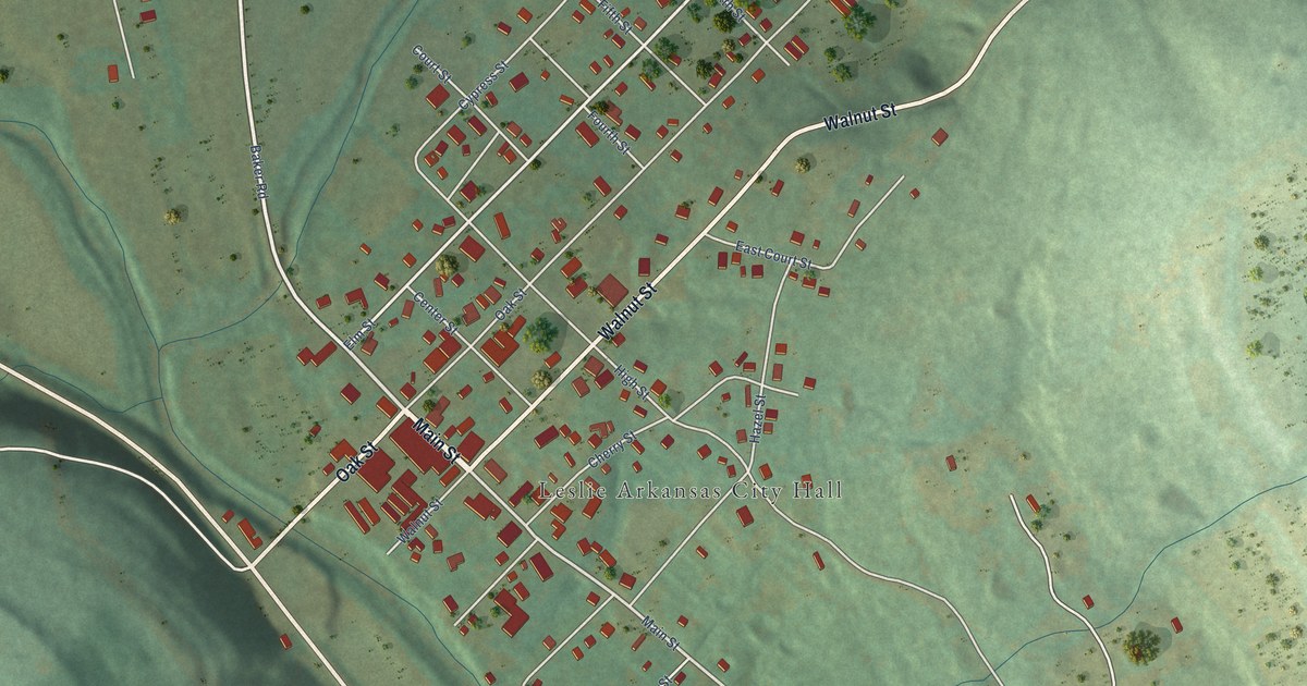
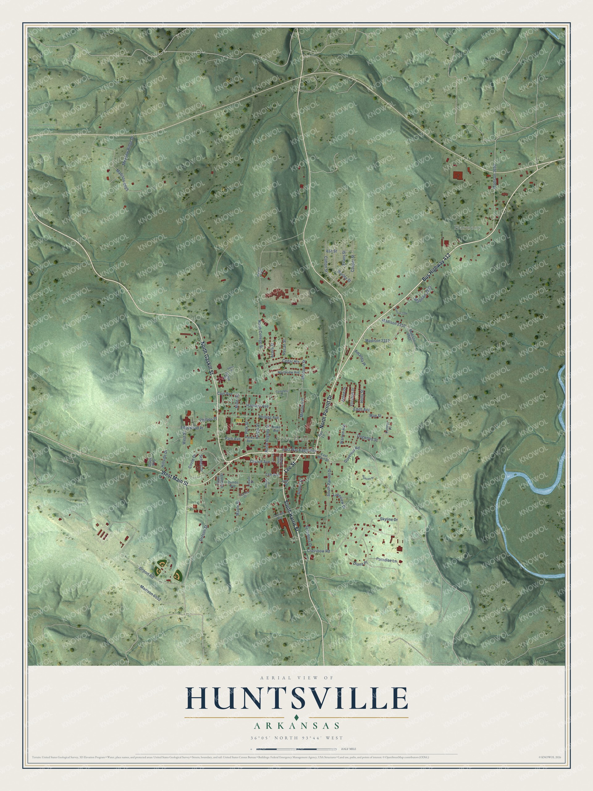
This beautifully detailed map of Huntsville, Arkansas was created in 2026 using aerial imagery combined with modern topographical, census, street and landmark data. It's a modern aerial view of Huntsville in Madison County, Arkansas, that combines modern data with a vintage aesthetic. The roads feature printed names, and if you look closely you can find your exact house accurately shown in its correct location.
Explore an aerial view of Huntsville, Arkansas
On this map you'll find City Hall, Harmony, Bus Highway 412, West Main Street, North Parrott Drive, South Harris Street, North Gaskill Street, Lee Street, Crossbow Road, Governor Road, Paradise Lane, Edith Avenue, and more. Each red shape is a building, so zoom in on the preview and look for yours.
Here is a piece of Huntsville history, in the words of the record. The CALS Encyclopedia of Arkansas puts it this way: "Madison County was established in 1836, and it was clear that Huntsville would be the county seat. The first courthouse was built there in 1837, in the central town square."
Huntsville is a city in Madison County.
Take a closer look at the Huntsville map
Names on this map
These names are printed on this map.
Places: City Hall and Harmony.
Streets and roads: Bus Highway 412, West Main Street, North Parrott Drive, South Harris Street, North Gaskill Street, Lee Street, Crossbow Road, Governor Road, Paradise Lane, Edith Avenue, East War Eagle Avenue, Missouri Place.
More street names, A to Z
Acorn Street, Airport Road, Amanda Place, Amber Street, Ash Street, Bluffside Drive, Cain Avenue, Cedar Heights, Cemetery Drive, Church Avenue, Circle Drive, Combs Avenue, Cooper Street, Cotton Street, Court Street, Cypress Court, Diana Place, Dogwood Street, Dotson Street, Drake Avenue, East Main Street, Edgewood Place, Elizabeth Drive, Evans Street, Fox Drive, Garrett Avenue, Grace Way, Hall Lane, Hargis Street, Hawkins Avenue, Hillside Drive, Holly Street, Jamie Street, Jenee Drive, Kortnei Place, Lakeview Drive, Lee Avenue, Locust Street, Madison 1650, Madison 2015, Madison 2300, Madison 2306, Madison 2310, Madison 2312, Madison 6552, Madison 8653, Madison 8660, Madison Street, Mae Street, Maple Street, Meadow Ridge Drive, Miller Street, Missouri Street, North College Street, North Hughes Street, Northview Avenue, Park Avenue, Parks Avenue, Pecan Street, Phillips Avenue, Phillips Place, Polk Street, School Drive, Sierra Street, Skyline Drive, South College Street, South Gaskill Street, South Parrott Drive, Sycamore Drive, Warren Avenue, West Street, Worley Street.
Created by KNOWOL in 2026. The buildings are small red shapes, the roads carry their printed names, and shaded relief shows the shape of the land. The title panel reads "AERIAL VIEW OF HUNTSVILLE ARKANSAS" with 36°05' NORTH 93°44' WEST.
It suits a den, a classroom or a front hall, and it makes a gift for anyone with Huntsville roots. Open the preview and find the block you know. See sizes and frames for the Huntsville map.