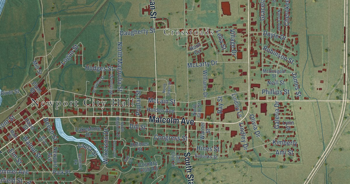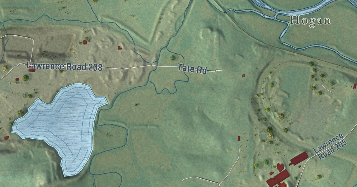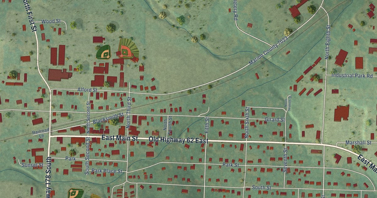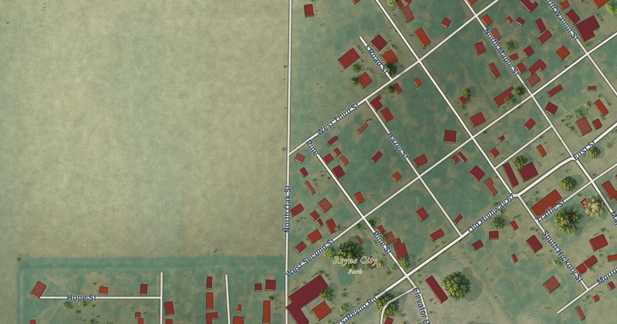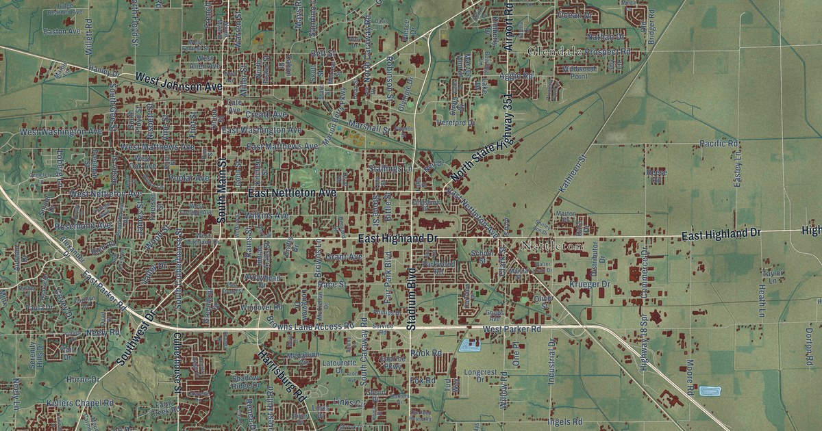
This beautifully detailed map of Jonesboro, Arkansas was created in 2026 using aerial imagery combined with modern topographical, census, street and landmark data. It’s a one-of-a-kind view of Jonesboro that combines accurate data with a vintage aesthetic. The map shows every building in its true location, many of the roads carry their names, and the shaded topographic relief shows the shape of the land.
Explore an aerial view of Jonesboro, Arkansas
On the map you’ll find Buck Snort, Apt, Fallis, Glendale, Hergett, Jonesboro Junction, Nettleton, Philadelphia, Phillips, Pleasant Grove, and Valley View, along with East Highland Drive, and more. If you look closely you can even find your house accurately drawn in its correct location. Zoom in on the preview to look for yours.
Did you know this piece of Jonesboro, Arkansas history?
From the Encyclopedia of Arkansas: "Jonesboro’s Craighead Forest Park is owned by the city and was first developed in 1937, when the local Young Men’s Civic Club began work on the fifty-five-acre lake."
Jonesboro is a city in Craighead County.
Take a closer look at the Jonesboro map
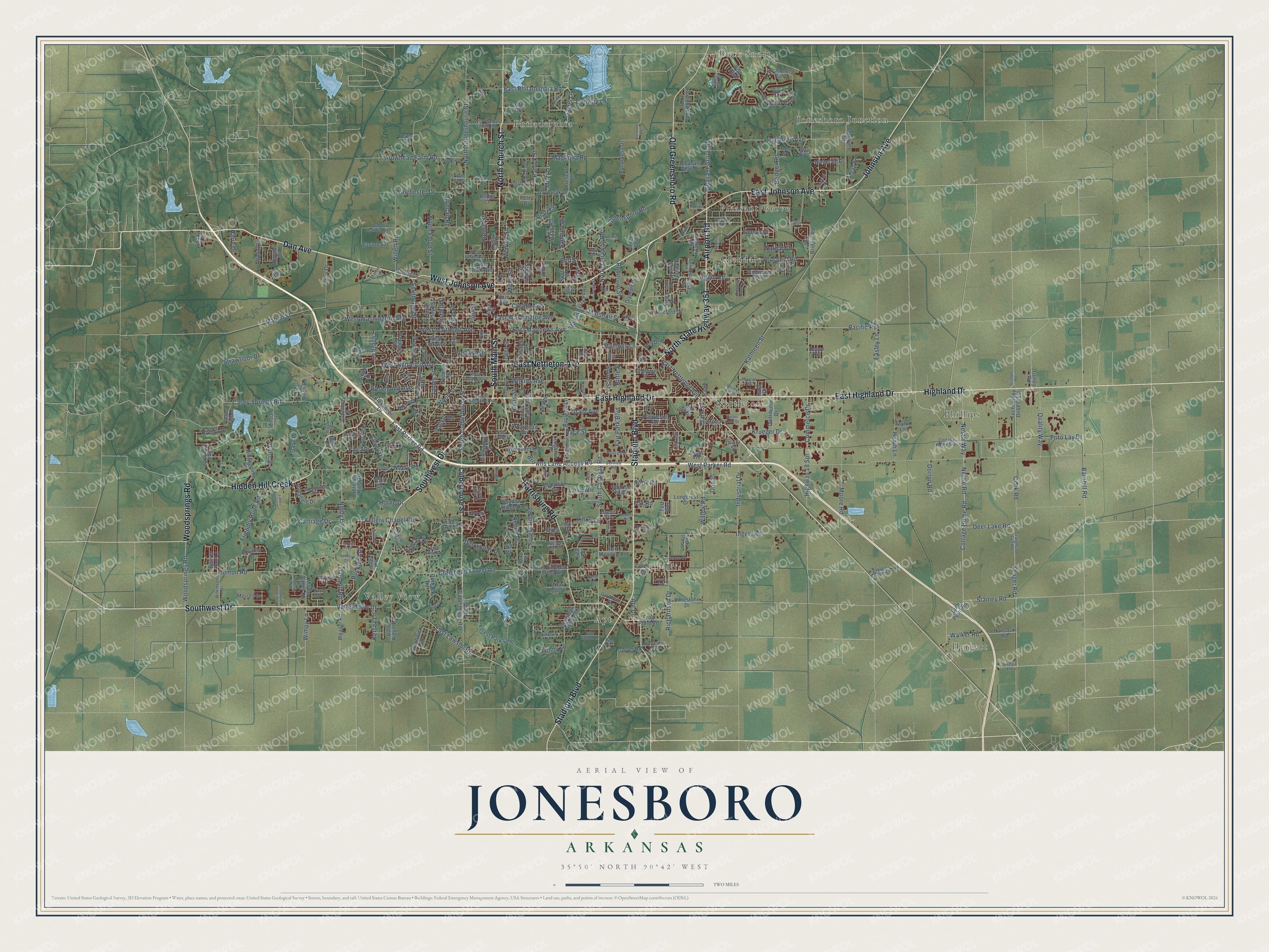
Street and place names on the Jonesboro, Arkansas map
These names are printed on the map of Jonesboro, Arkansas.
Places: Buck Snort, Apt, Fallis, Glendale, Hergett, Jonesboro Junction, Nettleton, Philadelphia, Phillips, Pleasant Grove and Valley View.
Streets and roads: East Highland Drive, East Johnson Avenue, East Nettleton Avenue, Highland Drive, North Church Street, Airport Road, South Main Street, Johnson Avenue, Stadium Boulevard, West Johnson Avenue, North State Highway 351, Woodsprings Road.
More street names, A to Z
Aggie Road, Alexander Drive, Alex Drive, Annadale Circle, Annadale Drive, Apt Drive, Arch Street, Aron Avenue, Arrowhead Drive, Arrowhead Farm Road, Autumn Drive, Barnhill Road, Beaver Run Lane, Belt Street, Benni Drive, Bernard Street, Bettie Court, Beverly Drive, Big Valley Road, Bittle Street, Blue Spruce Lane, Bolt Boulevard, Bono Road East, Bowden Drive, Bowling Lane, Bridger Road, Brookhaven Road, Browns Lane, Browns Lane Access Road, Calion Street, Caprice Parkway, Caribbean Place, Carolyn Drive, Carriage Drive, Casey Springs Road, Cate Avenue, Cater Drive, Cemetery Lane, Chastain Drive, Clark Street, Clay Drive, Clay Road, Cobb Street, College Boulevard, Colony Drive, Commerce Drive, Conway Lane, Cook Road, Cottage Home Road, Cottage Home Trail, Covey Drive, Crafts Drive, Craighead 641 Road, Craighead Forest Road, Creath Avenue, Creekview Drive, Crowleys Ridge Road, Culberhouse Street, Curtview Drive, Cwl Drive, Dacus Lane, Dan Avenue, Dara Drive, Darr Hill Road, Davis Drive, Daybreak Drive, Day Drive, Dean Street, Deer Lake Road, Distributor Drive, Dorton Road, Dove Road, Duncan Road, Dunwoody Drive, Dupwe Drive, Easley Lane, East Craighead Forest Road, East Lawson Road, East Matthews Avenue, Easton Avenue, East Parker Road, East Philadelphia Road, East Stroud Street, East Washington Avenue, Ebbert Drive, Elkhorn Lane, Emerson Lane, Fair Park Boulevard, Falls Street, Farm Creek Road, Finn Road, Flatrock Trail, Flemon Road, Flint Street, Forest Hill Road, Forest Park Loop, Foster Drive, Fox Meadow Lane, Fox Road, Freeman Street, French Street, Frie Lane, Friendly Hope Road, Frierson Street, Frito Lay Drive, Frog Pond Road, Gladys Drive, Glenn Place, Glover Road, Grant Avenue, Greenbriar Drive, Greensboro Road, Griggs Avenue, Grisham Road, Gulley Road, Gum Point Road, Hancock Road, Hanley Drive, Harmony Road, Harrisburg Road, Harry Drive, Heath Lane, Heern Drive, Hereford Drive, Hester Street, Hidden Hill Creek, Highway 18 Spr, Holly Street, Horne Drive, Horseshoe Trail, Hudson Drive, Hunters Ridge Drive, Hurst Lane, Indian Trails Street, Industrial Drive, Ingels Road, James Street, Jill Drive, Jonathon Drive, Joshua Lane, Joy Lane, Judes Court, Judge Bearden Avenue, Kara Drive, Kathleen Street, Kellers Chapel Road, Kents Place, Kersey Lane, Kimberly Drive, Kingsbury Drive, Kitchen Street, Koala Drive, Krueger Drive, Lacoste Drive, Lacy Drive, Lafayette Lane, Lake Crest Drive, Lake Drive, Lake Pointe Drive, Latourette Drive, Layman Drive, Lee Drive, Lexee Drive, Limestone Drive, Lincoln Drive, Links Circle, Links Drive, Loberg Lane, Lochmoor Circle, Lochmoor Creek, Longcrest Drive, Longview Drive, Lonoke Road, Lynette Drive, Magnolia Road, Mahon Street, Manila Street, Maple Valley Drive, Marble Lane, Marion Berry Parkway, Marshall Street, Marzee Ann Drive, Mays Road, McClellan Drive, Mead Drive, Medallion Circle, Melrose Street, Merrell Drive, Miller Street, Minga Lane, Minick Lane, Minx Lane, Mitzi Lane, Moore Road, Morton Drive, Mount Carmel Road, Nathan Drive, Neely Lane, Neely Road, Neil Drive, Nestle Road, Nestle Way, New Hope Lane, Nisbett Street, North Caraway Road, North Culberhouse Street, North Fisher Street, North Floyd Street, North Main Street, Oakhill Lane, Oak Park Drive, Ocean Drive, Old Bridger Road, Old Greensboro Road, Ole Feed House Road, Oliver Street, Olive Street, Olympic Drive, One Place, Outback Road, Pacific Road, Parkwood Road, Parr Street, Patrick Street, Paula Drive, Paul Drive, Pawnee Street, Peachtree Avenue, Penny Lane, Perry Drive, Phillips Drive, Pierce Drive, Planters Drive, Pleasant Grove Road, Pleasant View Drive, Plum Hill Drive, Ponderosa Drive, Poplar Avenue, Pratt Circle, Prescott Lane, Prospect Farm Lane, Prospect Road, Quail Drive, Quality Way, Race Street, Raider Road, Rains Street, Ranchette Drive, Rankin Drive, Reese Road, Renee Drive, Rhonda Drive, Richardson Drive, Rich Road, Ridgepointe Drive, Rivera Drive, Robinson Street, Rockport Drive, Rook Road, Rosemond Avenue, Royale Drive, Rusher Lane, Russell Hill Drive, Sage Oak Cv, Sandbrook Drive, Sandino Drive, Sandra Lane, School Street, Scotchwood Drive, Scott Street, Sea Island Drive, Serenity Hills Drive, Service Road, Shadow Ridge Drive, Shady Lane, Sharon Drive, Shelby Drive, Shirley Ann Drive, Sloan Lake Drive, Smoot Drive, South Caraway Road, South Culberhouse Road, South Culberhouse Street, South Floyd Street, South Gee Street, Southwest Drive, Southwick Drive, Stallings Lane, Stanley Road, State Street, Stella Drive, Stone Street, Strawfloor Drive, Sun Circle, Tall Birch Road, Taylor Lane, Taylors Chapel Lane, Technology Drive West, Tony Street, Trailwater Drive, Turf Way, Twin Oaks Avenue, Union Street, Vail Drive, Valley Drive, Valley Ridge Terrace, Valley View Drive, Village Drive, Vine Street, Vista Court, Walker Road, Walter Kratz Drive, Warren Street, Weaver Road, Wendall Lane, West Allen Avenue, West College Avenue, West Forrest Street, West Highland Drive, West Matthews Avenue, West Nettleton Avenue, West Oak Avenue, West Parker Road, West Thomas Green Road, West Washington Avenue, Whitecliff Drive, Wildwood Point, Wilkins Avenue, Wilkinson Drive, Willett Road, Willow Road, Wilmar Circle, Wimpy Lane, Winchester Drive, Windover Road, Wineland Street, Winesap Drive, Winged Foot Lane, Wofford Street, Wood Street, Woody Lane, Word Avenue, Yeager Road.
See the Jonesboro, Arkansas map on a wall
The Jonesboro map as an 18 x 24 inch print in a black frame.

This beautifully detailed map of Jonesboro makes an attractive addition to your office, library, or den, and it can even be used to teach children the geography and history of the area. It also makes a great gift for someone who left Jonesboro and still calls it home. When you’re done exploring, click here to get your copy of the Jonesboro map.