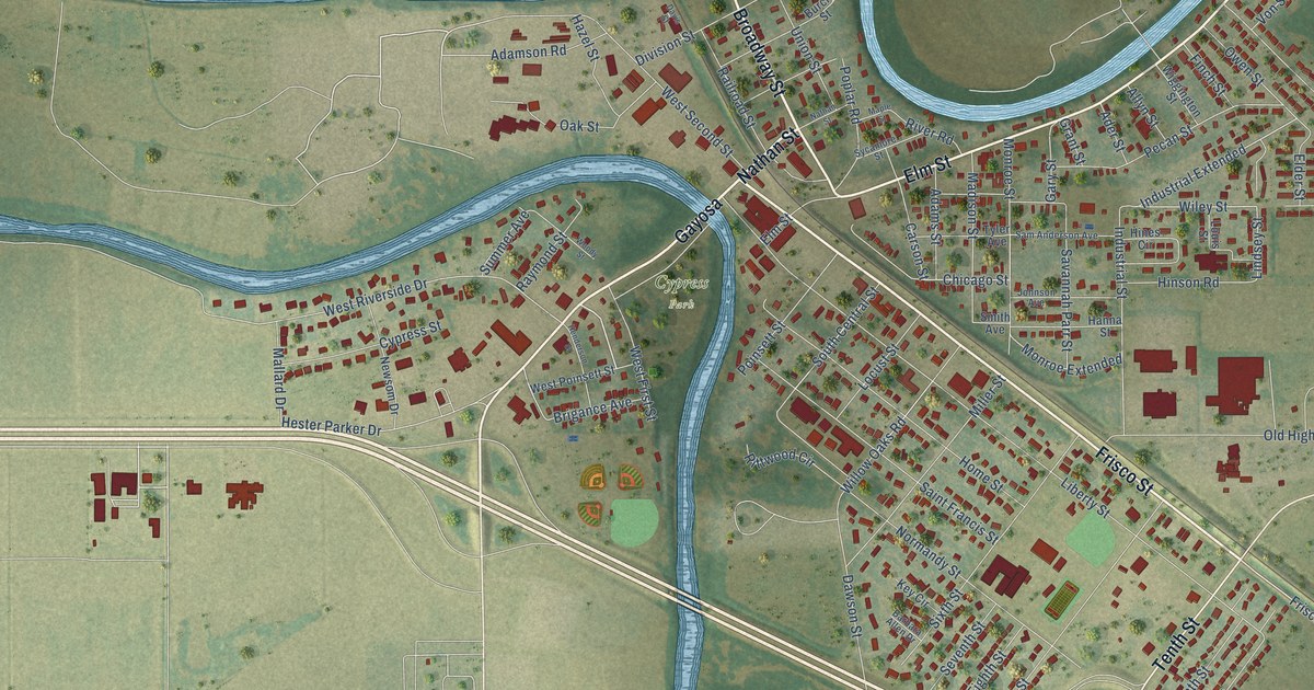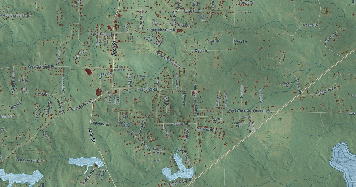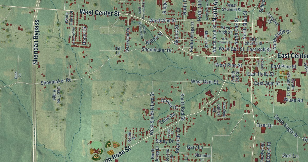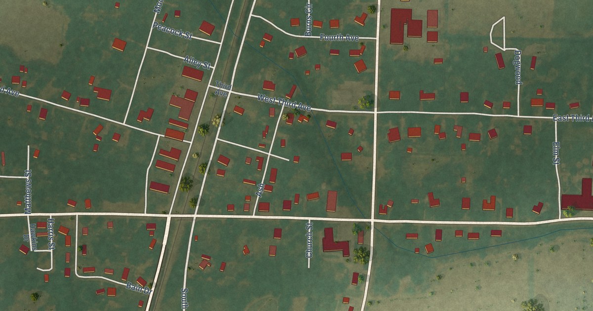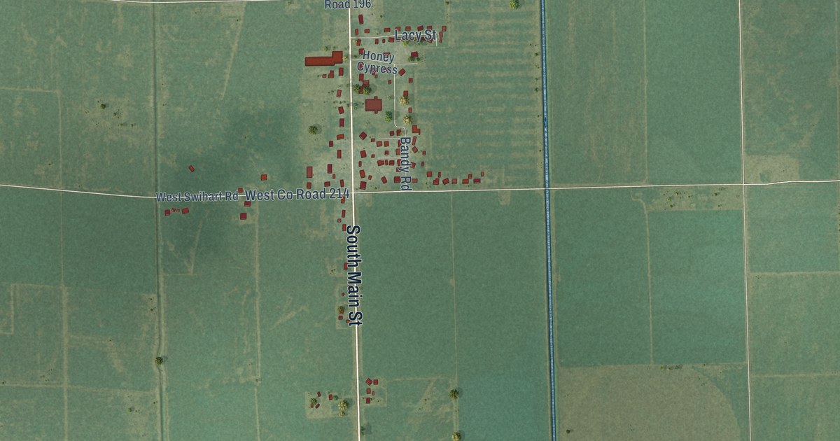
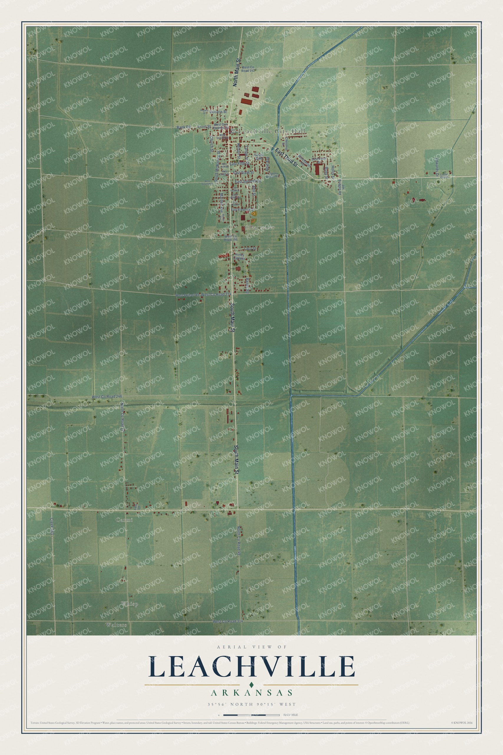
This beautifully detailed map of Leachville, Arkansas was created in 2026 using aerial imagery combined with modern topographical, census, street and landmark data. It's a modern aerial view of Leachville in Mississippi County, Arkansas, that combines modern data with a vintage aesthetic. The roads feature printed names, and if you look closely you can find your exact house accurately shown in its correct location.
Explore an aerial view of Leachville, Arkansas
On this map you'll find Leachville City Hall, Whisp, Carmi, Clearwater, Walters, South Main Street, East Third Street, North Main Street, Front Street, Church Street, Ruby Street, West Co Road 214, and more. Each red shape is a building, so zoom in on the preview and look for yours.
Every town has a first chapter, and Leachville is no exception. The CALS Encyclopedia of Arkansas puts it this way: "Leachville’s founding fathers were James Wiseman Honnoll, Joshua Gilbert Leach, and Sam McNamee of Holly Springs, Mississippi. Leach and Honnoll incorporated the Leach-McNamee Land Development Company on March 15, 1898."
Leachville is a city in Mississippi County.
Take a closer look at the Leachville map
Names on this map
These names are printed on this map.
Places: Leachville City Hall, Whisp, Carmi, Clearwater and Walters.
Streets and roads: South Main Street, East Third Street, North Main Street, Front Street, Church Street, Ruby Street, West County Road 214, West County Road 314, South McNamee Street, North County Road 17, North County Road 49, Nelson Street.
More street names, A to Z
Ada Street, Bandy Road, Bank Road, Chestnut Street, Cotton Pointe, Creek 563, Decaris Street, Degaris Street, East Eighth Street, East Eleventh Street, East Fifth Street, East First Street, East Ninth Street, East Seventh Street, East Sixth Street, East Tenth Street, Eastwood Street, Edwards Drive, Heuter Boulevard, Hollis Street, Honey Cypress, Jim Bridges Road, Lacy Street, Lagoon Access Road, Lange Street, Lois Lane, Marden Avenue, Mardin Avenue, Reid Avenue, West County Road 142, West County Road 196, West County Road 246, West Doc Rodman Street, West Fifth Street, West Second Street, West Seventh Street, West Sixth Street, West Swihart Road, Winchester Road.
Created by KNOWOL in 2026. The buildings are small red shapes, the roads carry their printed names, and shaded relief shows the shape of the land. The title panel reads "AERIAL VIEW OF LEACHVILLE ARKANSAS" with 35°56' NORTH 90°15' WEST.
Hang it in the hallway, the office or the cabin, or give it to someone who left Leachville and still calls it home. Open the preview and look for a street you know. See sizes and frames for the Leachville map.