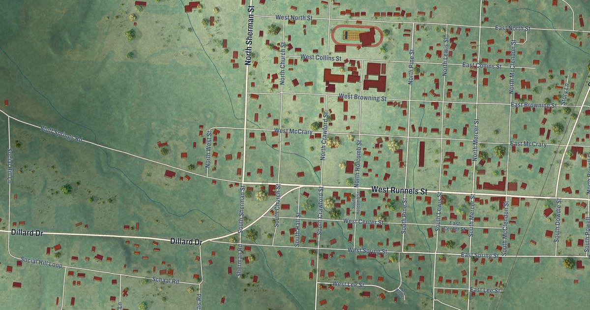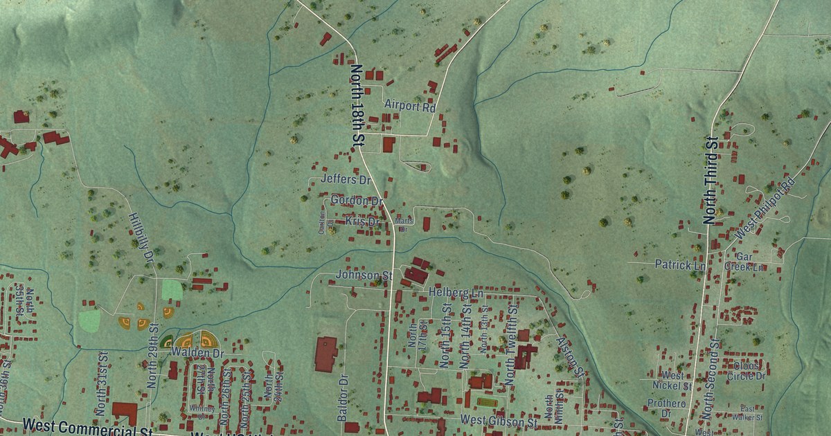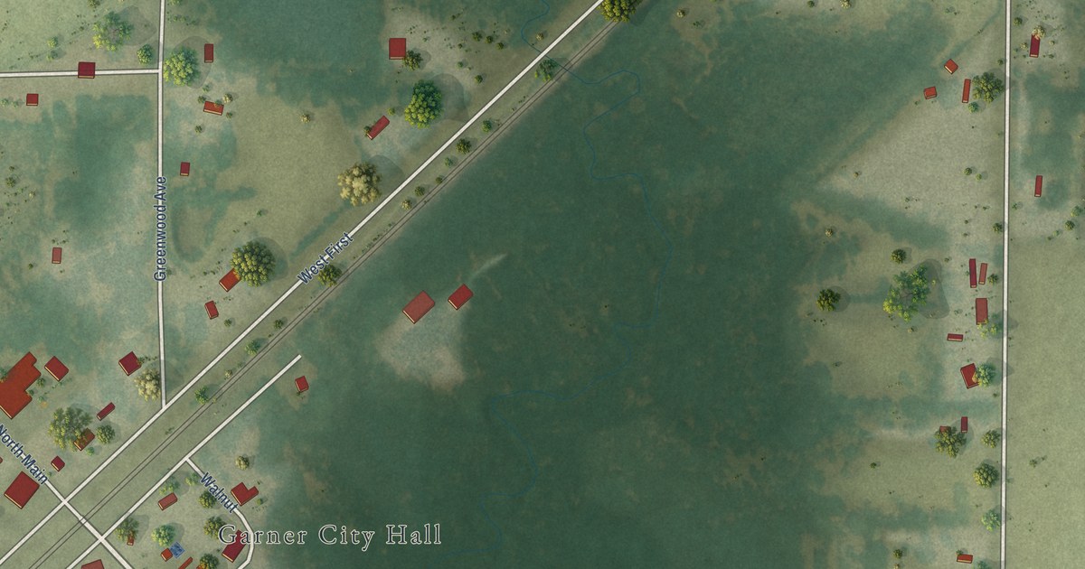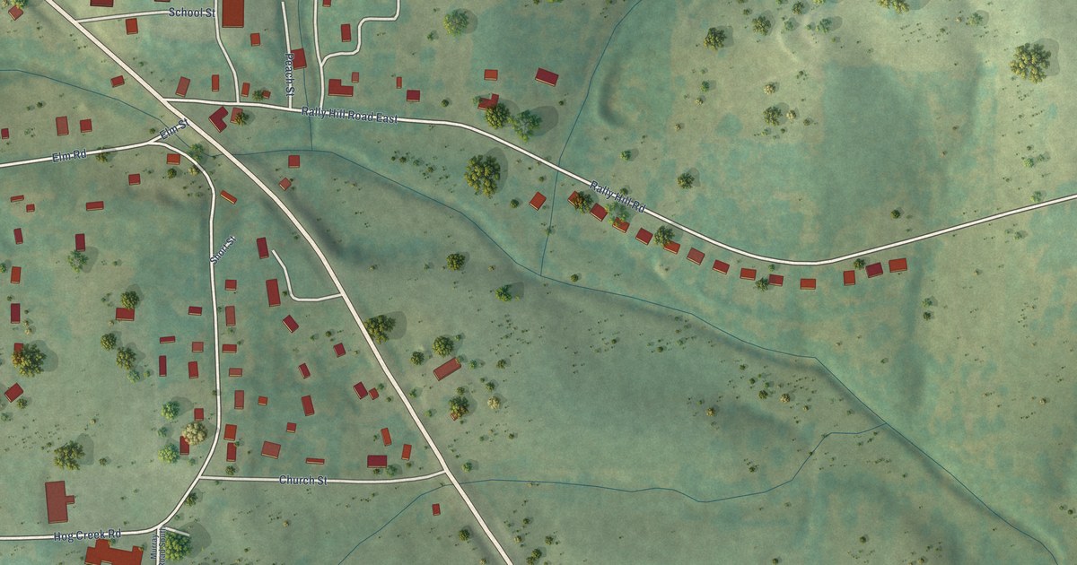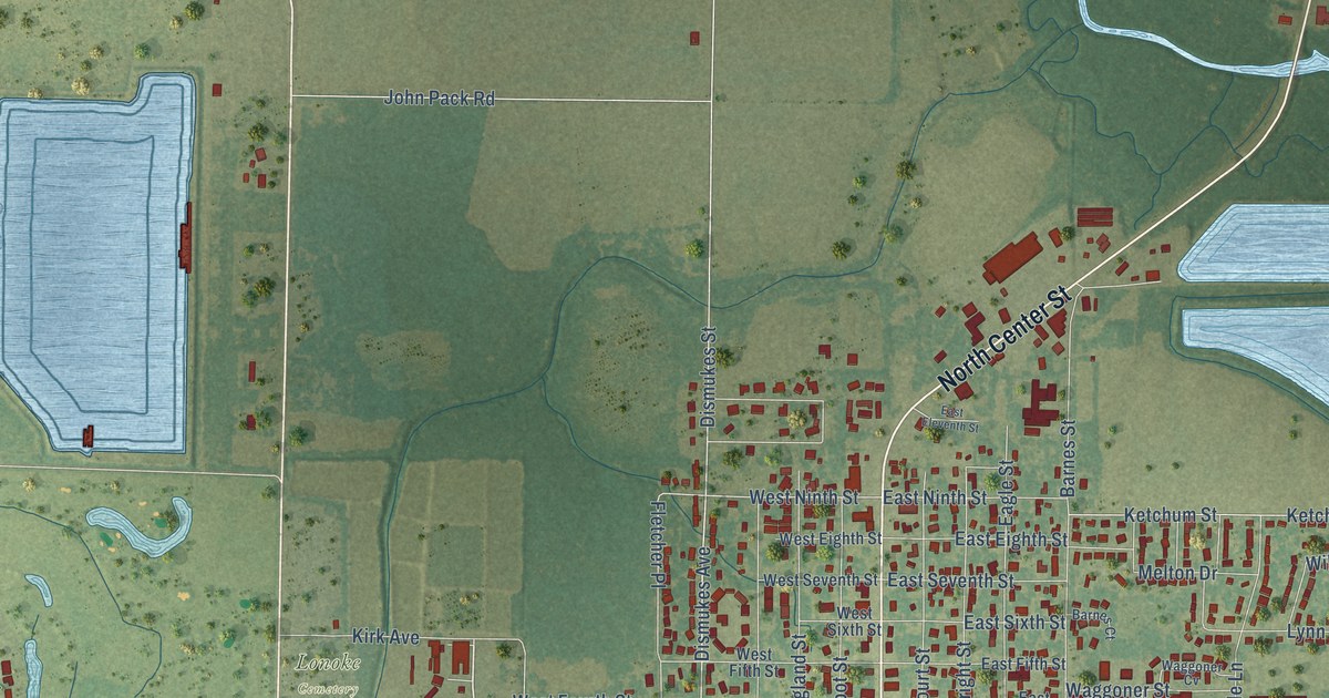
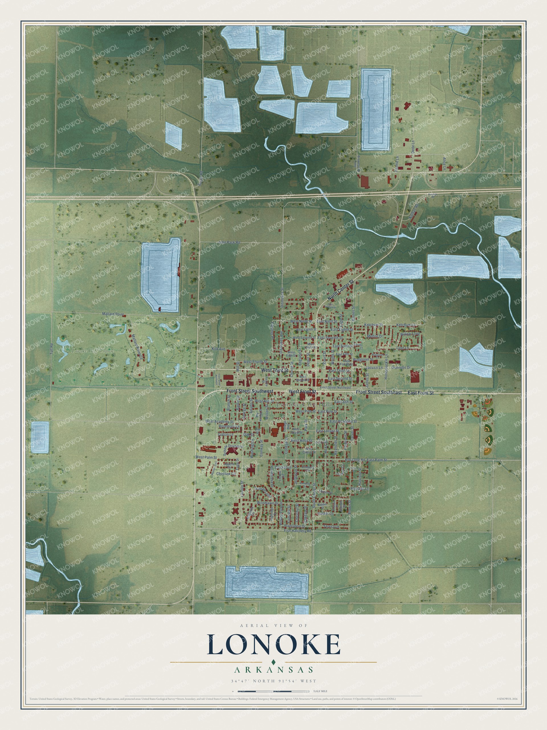
This beautifully detailed map of Lonoke, Arkansas was created in 2026 using aerial imagery combined with modern topographical, census, street and landmark data. It's a modern aerial view of Lonoke in Lonoke County, Arkansas, that combines modern data with a vintage aesthetic. The roads feature printed names, and if you look closely you can find your exact house accurately shown in its correct location.
Explore an aerial view of Lonoke, Arkansas
On this map you'll find Lonoke City Hall, Lonoke Cemetery, Lonoke Golf Course, East Front Street, Front Street Southeast, Front Street Southwest, West Front Street, West Third Street, North Center Street, Lincoln Street, South Center Street, East Palm Street, and more. Each red shape is a building, so zoom in on the preview and look for yours.
Here is a piece of Lonoke history, in the words of the record. The CALS Encyclopedia of Arkansas puts it this way: "The two men had a contract with the railroad to relocate the depot from Hick’s Station, established around 1868, which was approximately two miles east of the town. They suggested naming the town for a massive lone red oak tree that stood isolated on the prairie."
Lonoke is a city in Lonoke County.
Take a closer look at the Lonoke map
Names on this map
These names are printed on this map.
Places: Lonoke City Hall, Lonoke Cemetery and Lonoke Golf Course.
Streets and roads: East Front Street, Front Street Southeast, Front Street Southwest, West Front Street, West Third Street, North Center Street, Lincoln Street, South Center Street, East Palm Street, Fish Hatchery Road, Bob Long Road, East Ash Street.
More street names, A to Z
Adams Street, Alice Lane, Apache Circle, Barker Street, Barnes Court, Barnes Street, Branch Street, Brown Street, Brownsville Loop, Carver Street, Cedar Street, Chestnut Street, Choctaw Circle, Church Street, College Avenue, College Street, Conway Street, Cotton Lane, Court Street, Cricket Lane, Dede Lane, Depot Street, Dismukes Avenue, Dismukes Street, Eagle Drive, Eagle Street, East Academy Street, East Eighth Street, East Eleventh Street, East Fifth Street, East Fourth Street, East Holly Street, East Locust Street, East Ninth Street, East Pine Street, East Second Street, East Seventh Street, East Sixth Street, East Third Street, Elm Street, England Street, Fairview Street, Fannie Lane, Ferguson Street, Fletcher Lane, Fletcher Place, Frontage Road, Front Street Northeast, Front Street Northwest, George Street, Gunnebo Drive, Hamburg Street, Harrison Street, Hicks Street, Highridge Drive, Honeysuckle Lane, Jacuzzi Lane, James Street, Jefferson Street, John Pack Road, Ketchum Lane, Ketchum Street, Kidder Street, Kimberly Circle, Kirk Avenue, Linrose Circle, Lynn Lane, Magnolia Circle, Mallard Point, Mallard Point Cv, Mc Kinley Street, Melton Drive, Mill Street, Nathan Road, Navajo Trail, Oakdale Street, Oak Street, Park Street, Pearce Street, Plantation Drive, Pleasant Drive, Ponderosa Drive, Privett Park Drive, Reynolds Street, Rosemary Lane, Saylor Road, School Driveway, Sharon Street, Stanton Street, Sunset Loop, Teresa Lane, Thomas Circle, Tull Road, Vasser Lane, Waggoner Cv, Waggoner Street, Washington, West Academy Street, West Ash Street, West Cherry Street, West Eighth Street, West Fifth Street, West Fourth Street, West Holly Street, West Locust Street, West Ninth Street, West Palm Street, West Pine Street, West Second Street, West Seventh Street, West Sixth Street, Willow Loop, Wilson Street, Woodlawn Drive, Wright Street.
Created by KNOWOL in 2026. The buildings are small red shapes, the roads carry their printed names, and shaded relief shows the shape of the land. The title panel reads "AERIAL VIEW OF LONOKE ARKANSAS" with 34°47' NORTH 91°54' WEST.
It suits a den, a classroom or a front hall, and it makes a gift for anyone with Lonoke roots. Open the preview and find the block you know. See sizes and frames for the Lonoke map.