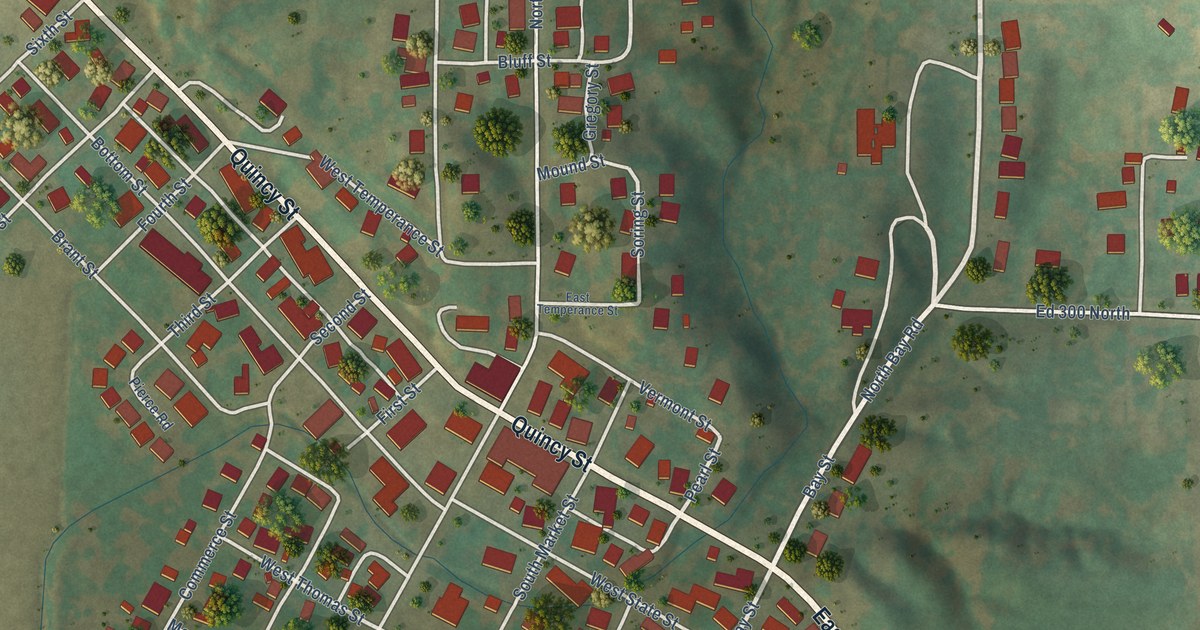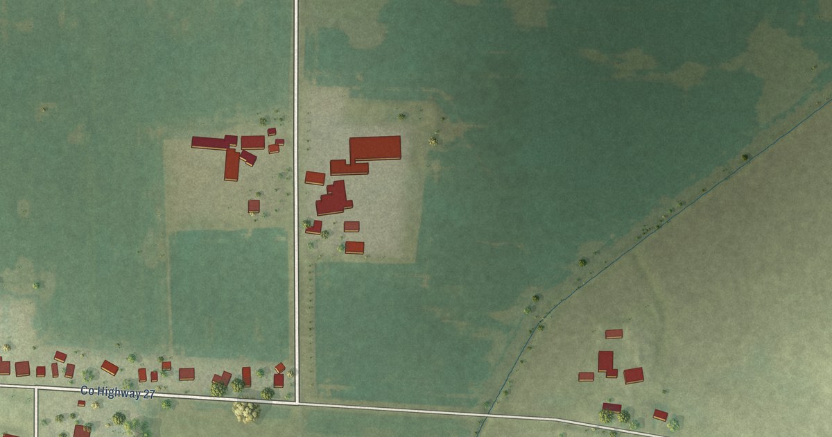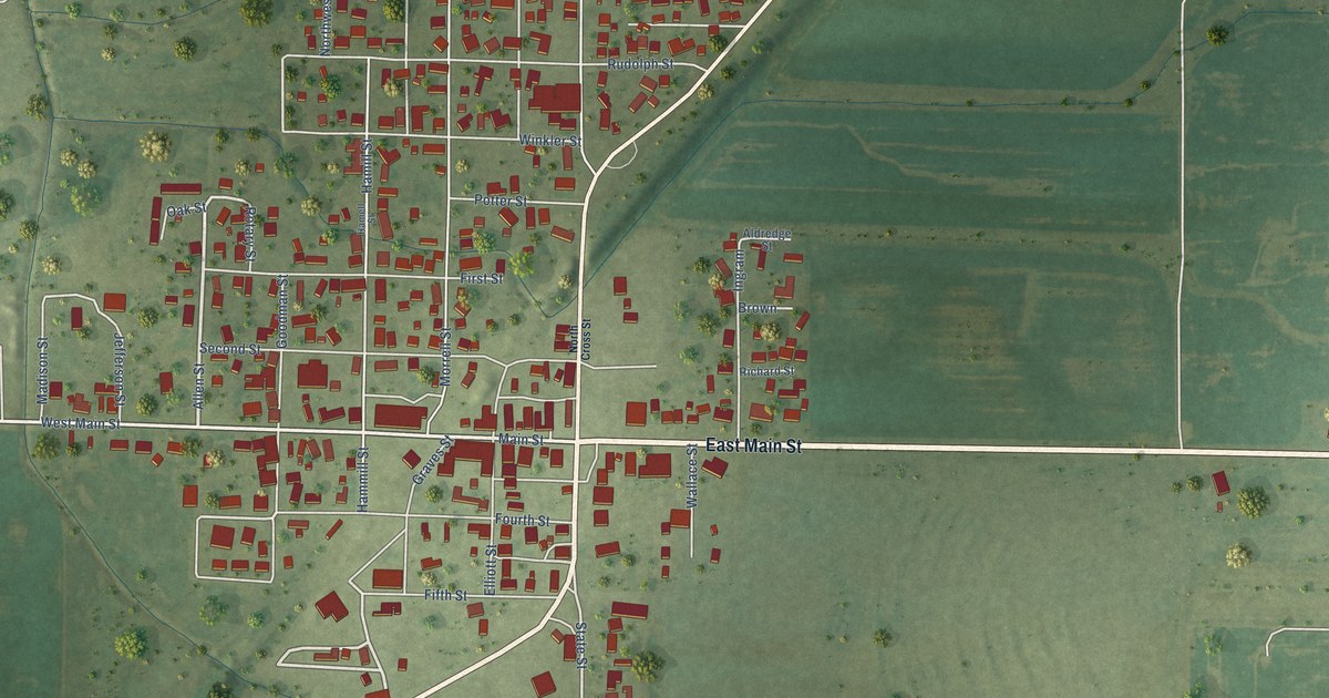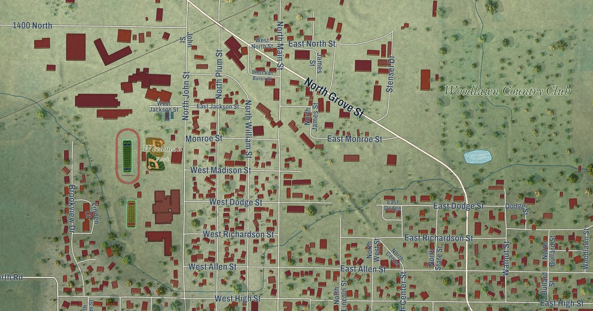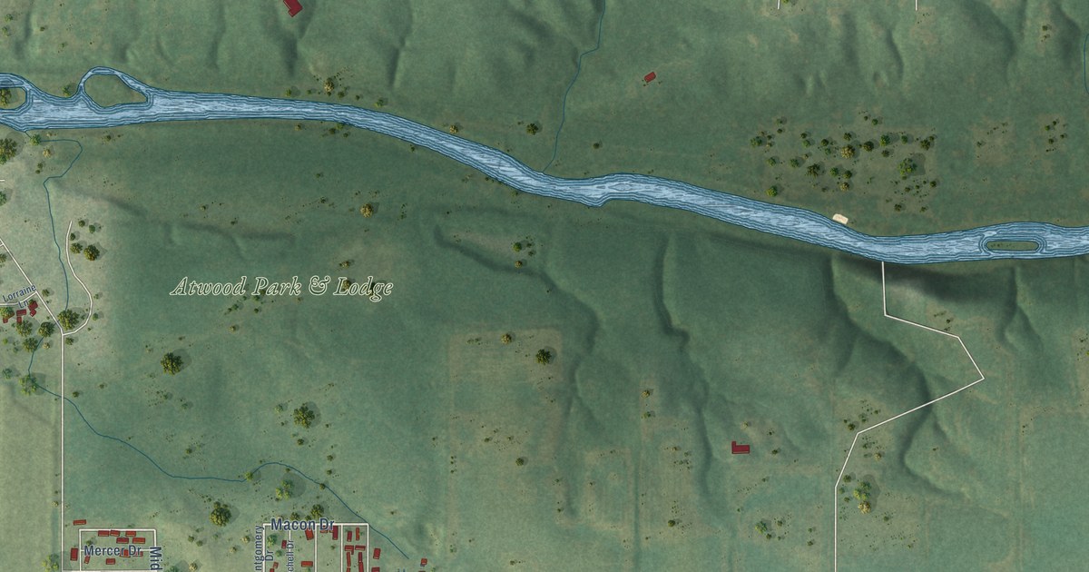
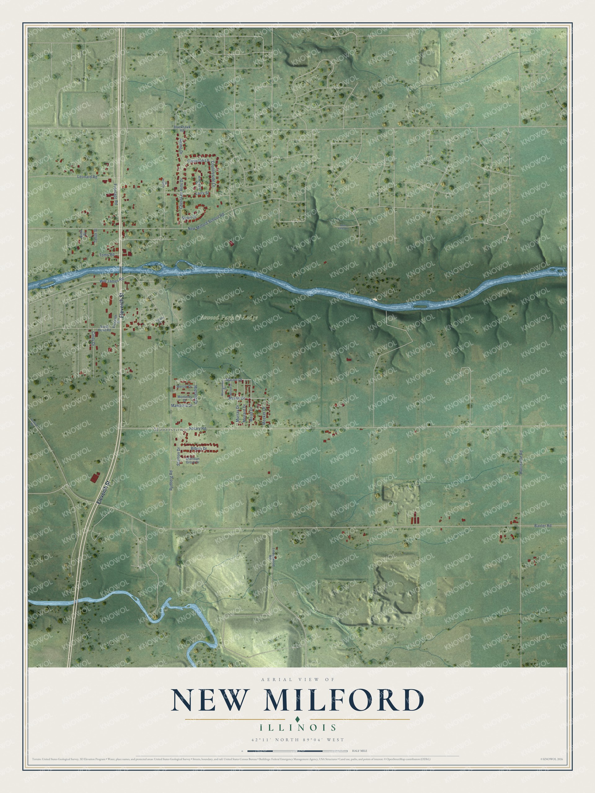
This beautifully detailed map of New Milford, Illinois was created in 2026 using aerial imagery combined with modern topographical, census, street and landmark data. It's a modern aerial view of New Milford in Winnebago County, Illinois, that combines modern data with a vintage aesthetic. The roads feature printed names, and if you look closely you can find your exact house accurately shown in its correct location.
Explore an aerial view of New Milford, Illinois
On this map you'll find Atwood Park & Lodge, Morristown, Eleventh Street, Morris Drive, Macon Drive, Rydberg Road, Countryside Lane, Cimarron Lane, Midland Drive, Will James Road, Baxter Road, Rotary Road, and more. Each red shape is a building, so zoom in on the preview and look for yours.
New Milford has a story worth telling. The Winnebago County Genealogy Trails puts it this way: "The community of New Milford has its cemetery to thank for its continued existence. When World War I broke out and Camp Grant sprang up on the farmland south of Rockford, the military reservation threatened to overrun New Milford. However, the federal government was unable to claim the village’s cemetery, so Camp Grant grew around New Milford."
New Milford is a village in Winnebago County. The Census Bureau counted 794 people here in 2020.
Take a closer look at the New Milford map
Names on this map
These names are printed on this map.
Places: Atwood Park & Lodge and Morristown.
Streets and roads: Eleventh Street, Morris Drive, Macon Drive, Rydberg Road, Countryside Lane, Cimarron Lane, Midland Drive, Will James Road, Baxter Road, Rotary Road, Harrisville Road, Cherokee Hills Drive.
More street names, A to Z
Alamo Drive, Balboa Street, Beltline Road, Bibury Drive, Blackhawk Road, Cindy Drive, Frontage Road, Larry Street, Leonard Road, Lindenwood Road, Lorraine Lane, Manderia Drive, Mead Drive, Meeker Drive, Menard Drive, Mercer Drive, Mitchell Drive, Monterey Drive, Montgomery Drive, Murray Drive, New Milford School Road, Ninth Street, Quiet Valley Lane, Sheridan Grove Drive, Sioux Court, South Bend Road, Stanton Drive, Tenth Street, Toms Road, Winchester Drive.
Created by KNOWOL in 2026. The buildings are small red shapes, the roads carry their printed names, and shaded relief shows the shape of the land. The title panel reads "AERIAL VIEW OF NEW MILFORD ILLINOIS" with 42°11' NORTH 89°04' WEST.
It looks right in a kitchen, an office or a den, and it's a gift for anyone who grew up in New Milford or moved away. Open the preview and find your street. See sizes and frames for the New Milford map.