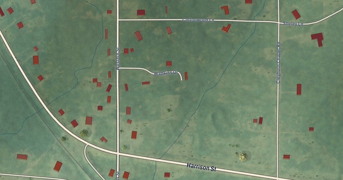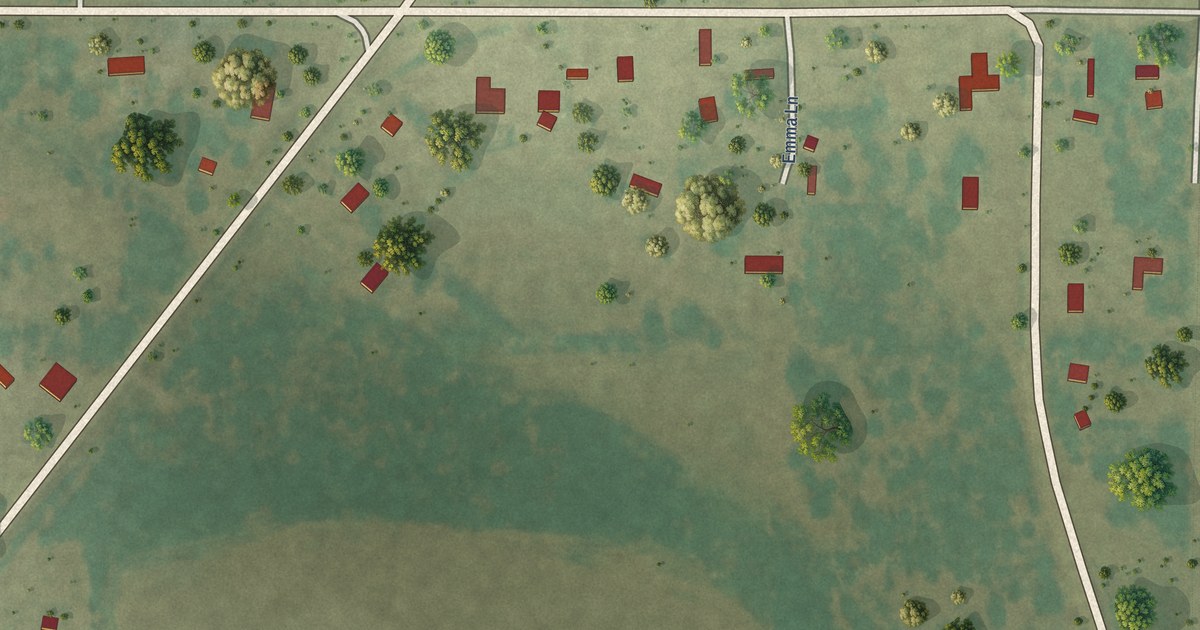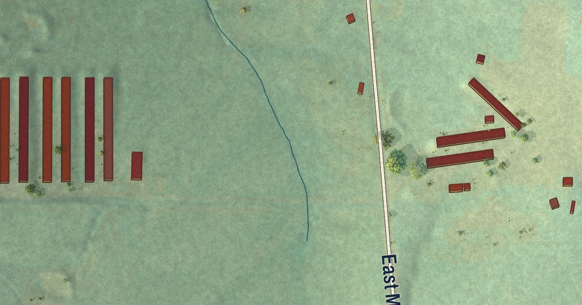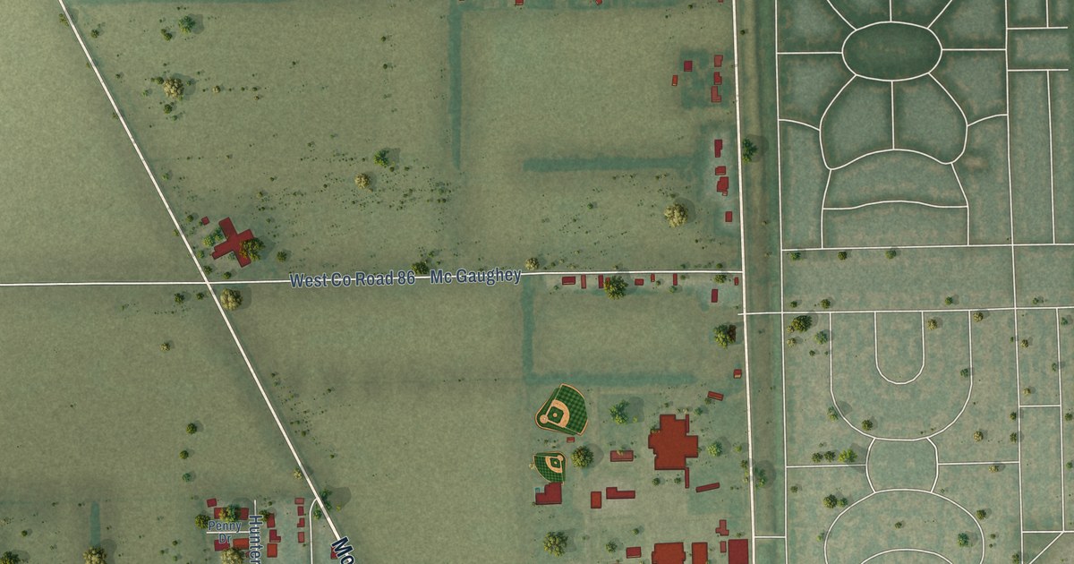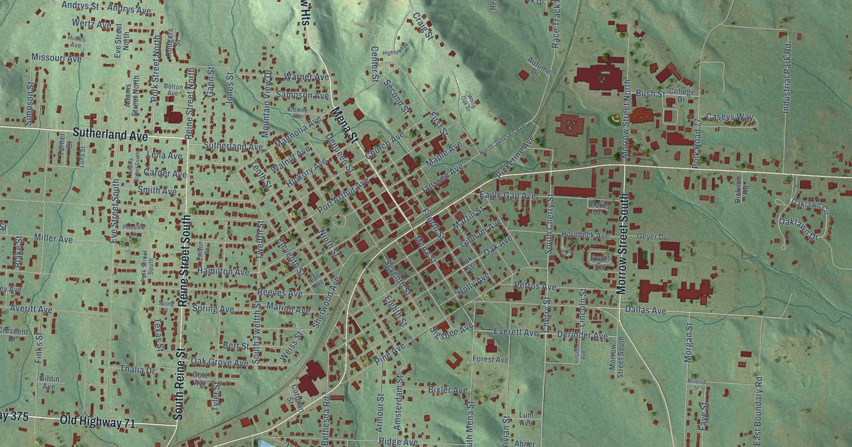
This beautifully detailed map of Mena, Arkansas was created in 2026 using aerial imagery combined with modern topographical, census, street and landmark data. It’s a one-of-a-kind view of Mena that combines accurate data with a vintage aesthetic. The map shows every building in its true location, many of the roads carry their names, and the shaded topographic relief shows the shape of the land.
Explore an aerial view of Mena, Arkansas
On the map you’ll find Grandview Heights, Polk Road 708, and Polk Road 43, along with Sutherland Avenue, Highway 375, Mena Street, Old Highway 71, Reine Street South, South Reine Street, Morrow Street South, Dallas Avenue, West Boundary Road, and more. If you look closely you can even find your house accurately drawn in its correct location. Zoom in on the preview to look for yours.
Did you know this piece of Mena, Arkansas history?
From the CALS Encyclopedia of Arkansas: "The town of Mena takes its name from the nickname of Folmina Margaretha Janssen deGeoijen, the wife of one of Stilwell’s financiers (Janssen Park is also named after her). The first train pulled into Mena on August 19, 1896, the same day the New Era published its first edition; another newspaper, the Mena Weekly Star, was soon established in town."
Mena is a city in Polk County.
Take a closer look at the Mena map
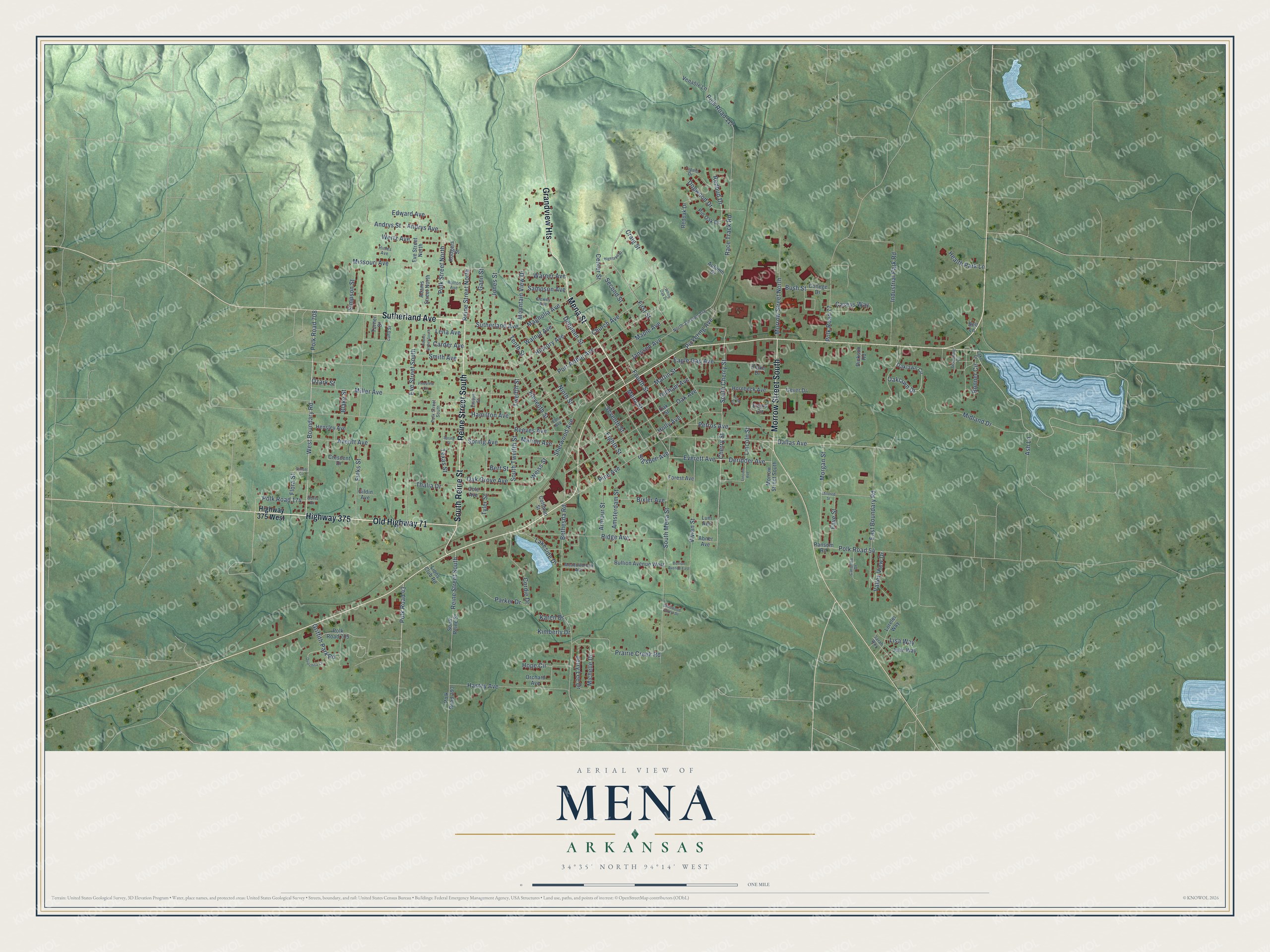
Street names on the Mena, Arkansas map
These names are printed on the map of Mena, Arkansas.
Streets and roads: Sutherland Avenue, Highway 375, Mena Street, Old Highway 71, Grandview Heights, Reine Street South, South Reine Street, Morrow Street South, Dallas Avenue, Polk Road 708, West Boundary Road, Polk Road 43.
More street names, A to Z
Abner Avenue, Adams Street North, Adams Street South, Amsterdam Street, Andrys Avenue, Andrys Street, Armour Street, Ash Lane, Autumn Drive, Averitt Avenue, Bell Lane, Bert Street, Bethesda Road, Bixler Avenue, Blake Drive, Blake Street, Bolton Avenue, Bonner Circle, Bullion Avenue East, Bullion Avenue West, Bush Street, Carder Avenue, Carolina Drive, Caseys Way, Center Street, Cherry Street, Church Avenue, Cole Avenue, College Drive, Cordie Drive, Cottman Street, Craig Street, Crescent Drive, Dequeen Street, Deridder Avenue, Dewey Avenue, Dickson Road, Dogwood Drive, Doris Drive, Eagle Gap Avenue, East Boundary Road, Edward Avenue, Eighth Street, Eleventh Street, Ellison Street, Elm Avenue, Evans Circle, Everett Avenue, Eve Street North, Eve Street South, Faye Street, Finks Street, First Street, Flora Street, Forest Avenue, Fourth Street, Gann Street, Geyer Drive, Gildin Avenue, Gillham Avenue, Griffith Park Road, Hamilton Avenue, Hastey Avenue, Health Park Lane, Hensley Avenue, Hickory Avenue, Highland Street, Highway 375 West, Himes Avenue, Holly Avenue, Hope Circle, Hornbeck Avenue, Industrial Park Road, Janssen Avenue, Jerry Lee Drive, Jolie Way, Jones Street, Karen Drive, Kimberly Drive, Lake Drive, Lakeside Drive, Lena Avenue, Lincoln Avenue, Lincoln Street, Lions Club Road, Lisa Way, Lorelei Way, Lum Avenue, Luna Street, Magnolia Avenue, Maple Avenue, Marion Avenue, Martin Street, Meadowbrook Avenue, Michelle Drive, Midland Drive, Mildred Street, Miller Avenue, Missouri Avenue, Morgan Street, Morrow Street North, Mountain View Drive, Ninth Street, North Janssen Avenue, Oak Avenue, Oak Grove Avenue, Oaklawn Circle, Oaklawn Drive, Oak Street, Orchard Avenue, Ouachita Circle, Ozark Street, Parker Drive, Petros Avenue, Pickering Avenue, Pine Avenue, Pineview Circle, Pin Oak Drive, Polk Road 54, Polk Road 77, Polk Road 117, Polk Road 174, Polk Road 293, Polk Road 705, Polk Street North, Polk Street South, Port Arthur Avenue, Prairie Creek Road, Proft Circle, Race Track Road, Ransom Road, Redbud Drive, Redoak Drive, Reeves Avenue, Reine Street North, Ridge Avenue, Rodgers Street, Sampson Avenue, Sarah Way, Second Street, Seventh Street, Sherwood Avenue, Sherwood Forest Drive, Sigsbee Avenue, Simpson Street, Smith Avenue, South Cherry Street, South Mena Street, South Twelfth Street, Spring Avenue, Spring Street, Strandberg Circle, Sunset Circle, Tenth Street, Texas Street, Thalia Drive, Tupelo Drive, Turner Street, Twelfth Street, Tyler Street, Valley View Drive, Venable Lane, Vivian Street, Walnut Avenue, Warner Avenue, Weiss Street, Wertz Avenue, White Oak Drive.
See the Mena, Arkansas map on a wall
The Mena map as an 18 x 24 inch print in a black frame.

This beautifully detailed map of Mena makes an attractive addition to your office, library, or den, and it can even be used to teach children the geography and history of the area. It also makes a great gift for anyone who grew up in Mena or moved away. When you’re done exploring, click here to get your copy of the Mena map.