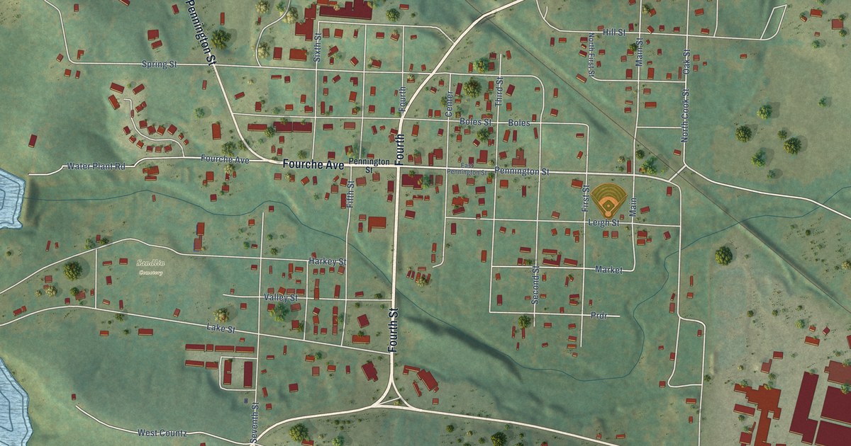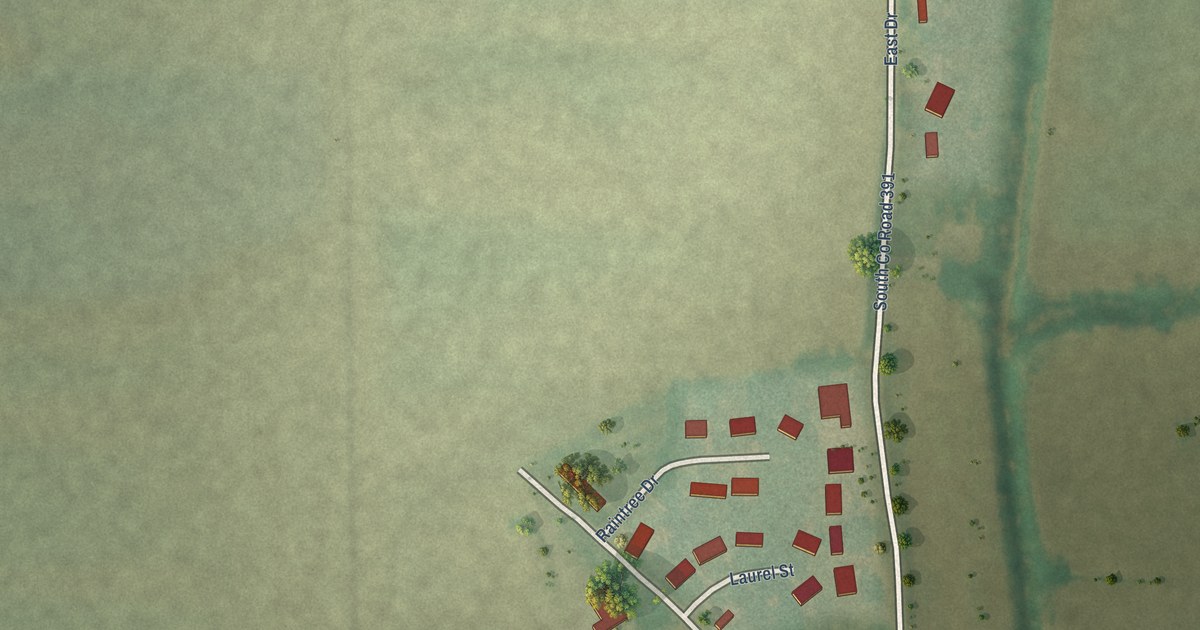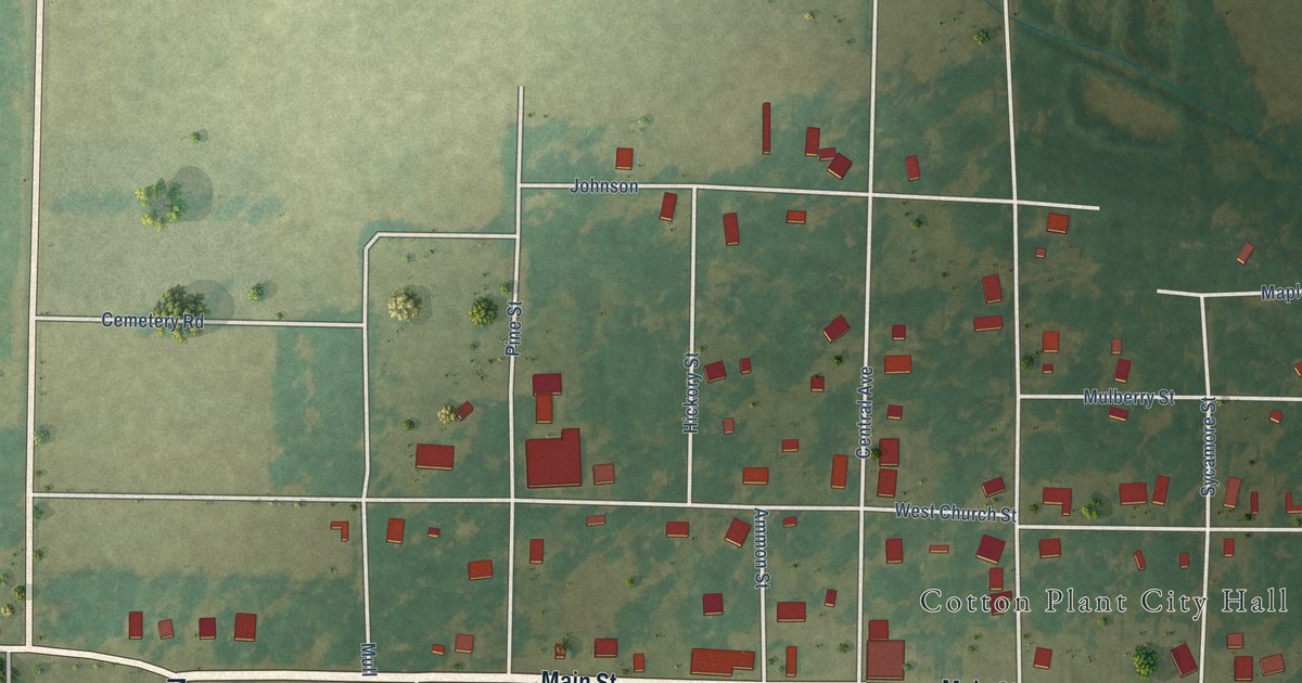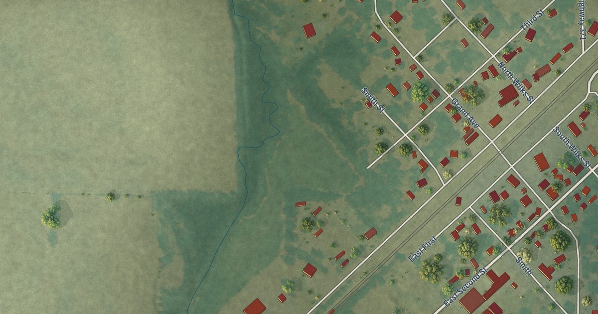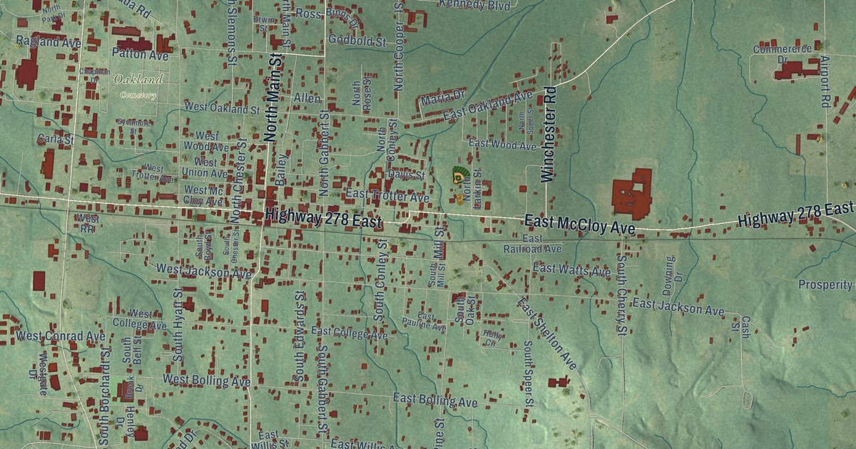
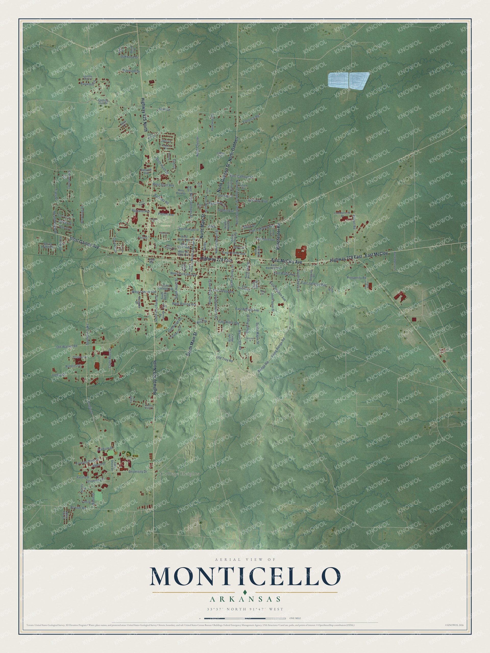
This beautifully detailed map of Monticello, Arkansas was created in 2026 using aerial imagery combined with modern topographical, census, street and landmark data. It's a modern aerial view of Monticello in Drew County, Arkansas, that combines modern data with a vintage aesthetic. The roads feature printed names, and if you look closely you can find your exact house accurately shown in its correct location.
Explore an aerial view of Monticello, Arkansas
On this map you'll find Killin, Oakland Cemetery, College Heights, North Main Street, North Gabbert Street, North Gabbert, Highway 425 North, Highway 278 East, West Gaines Avenue, South Main Street, East McCloy, East McCloy Avenue, and more. Each red shape is a building, so zoom in on the preview and look for yours.
Here is a piece of Monticello history, in the words of the record. The Internet Archive puts it this way: "There are 52 common school districts, and 3 high schools, one at Monticello, one at Rock Springs and one at Selma; 75 schools are taught in the county."
Monticello is a city in Drew County.
Take a closer look at the Monticello map
Names on this map
These names are printed on this map.
Places: Killin, Oakland Cemetery and College Heights.
Streets and roads: North Main Street, North Gabbert Street, North Gabbert, Highway 425 North, Highway 278 East, West Gaines Avenue, South Main Street, East McCloy, East McCloy Avenue, Winchester Road, Allen, East Shelton Avenue.
More street names, A to Z
Airport Road, Allen Drive, Babin Drive, Bailey, Barkada Road, Baywood Lane, Bellview Avenue, Binns Drive, Bowser Road, Brook Drive, Browning Drive, Carla Street, Cash Street, Cedar Hill Street, Center Drive, Chapman Drive, Cherokee Drive, Circle Acres Drive, Clyde Ross Drive, Commererce Drive, Country Club Drive, Country Club Lane, Crestwood Drive, David Lane, Davis Street, Deerfield Drive, Downing Drive, East Bolling Avenue, East Calhoun Street, East College Avenue, East Jackson Avenue, East Oakland Avenue, East Pauline Avenue, East Pope Street, East Railroad Avenue, East Trotter Avenue, East Watts Avenue, East Willis Avenue, East Willis Street, East Wood Avenue, Elm Court, Erwin Street, Faculty Drive, Falls Street, Fawn Lane, Firing Range Road, Florence Road, Forestry Park Drive, Glenwood Drive, Godbold Street, Greenfield Drive, Griffith Street, Harvey Drive, Hazel Street, Hazelwood Drive, Henley Drive, Hillcrest Street, Holly Circle, Hospital Drive, Huckleberry Lane, Industrial Park Drive, Jaci Lane, Jennie Lane, Jordan Drive, Katie Lane, Kays Lane, Kennedy Boulevard, Lake Shore Drive, Lamar Lane, Lincoln Court, Lisa Circle, Maria Drive, Mason Hill Road, McKnight Drive, Meadowview Drive, Mill Street, North Chester, North Chester Street, North Conley Street, North Cooper, North Cooper Street, North Hyatt Street, North Larkin Street, North Park Drive, North Rose Street, North Samuel Street, North Slemons Street, North Speer Street, Oakwood Drive, Old Troy Road, Old Warren Road, Park Street, Patton Avenue, Pinecrest Drive, Prosperity Road, Ragland Avenue, Range Road, Rebecca Circle, Roberts Drive, Ross, Scogin Drive, South Bell Street, South Borchardt Street, South Boyd Street, South Cherry Street, South Chester Street, South Conley Street, South Edwards Street, Southern Oaks, South Gabbert Street, South Hyatt Street, South Maple Street, South Mill Street, South Oak Street, South Pine Street, South Speer Street, Spring Branch Drive, Stadium Drive, Sycamore Street, Tanglewood Drive, Tracy Drive, University Drive, University Heights Drive, University Place, Weevil Drive, West Bolling Avenue, West College Avenue, West Conrad Avenue, Westgate Drive, West Jackson Avenue, West Mc Cloy Avenue, West Oakland Street, West Pope, West Pope Street, West RR, West Scott Avenue, West Trotter Avenue, West Union Avenue, West Wood Avenue, White Tail Lane.
Created by KNOWOL in 2026. The buildings are small red shapes, the roads carry their printed names, and shaded relief shows the shape of the land. The title panel reads "AERIAL VIEW OF MONTICELLO ARKANSAS" with 33°37' NORTH 91°47' WEST.
It suits a den, a classroom or a front hall, and it makes a gift for anyone with Monticello roots. Open the preview and find the block you know. See sizes and frames for the Monticello map.