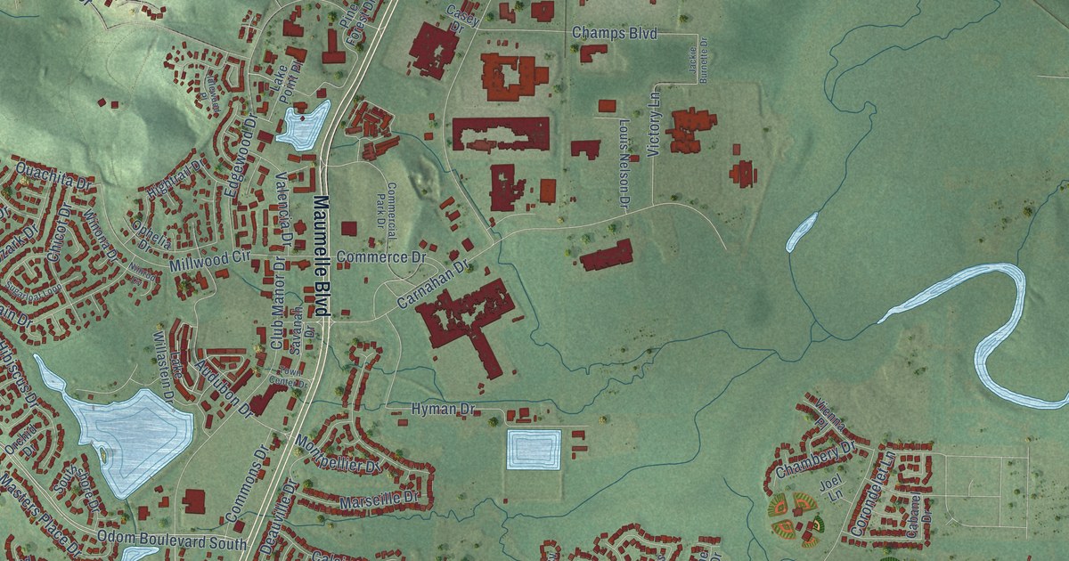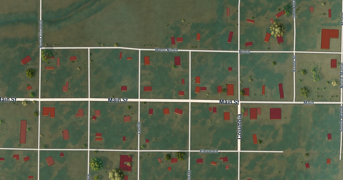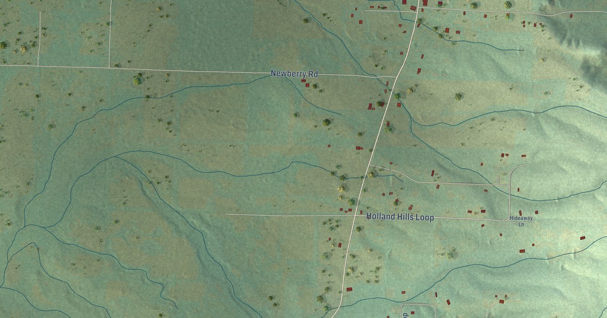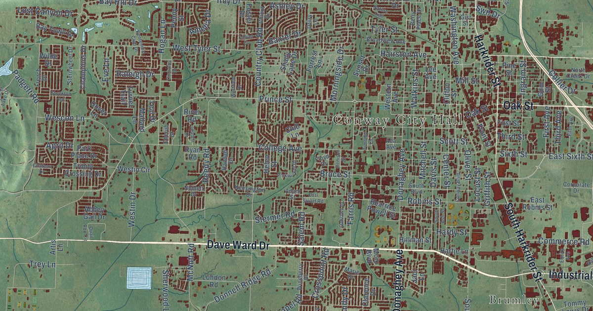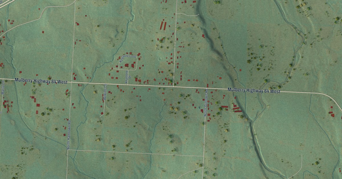
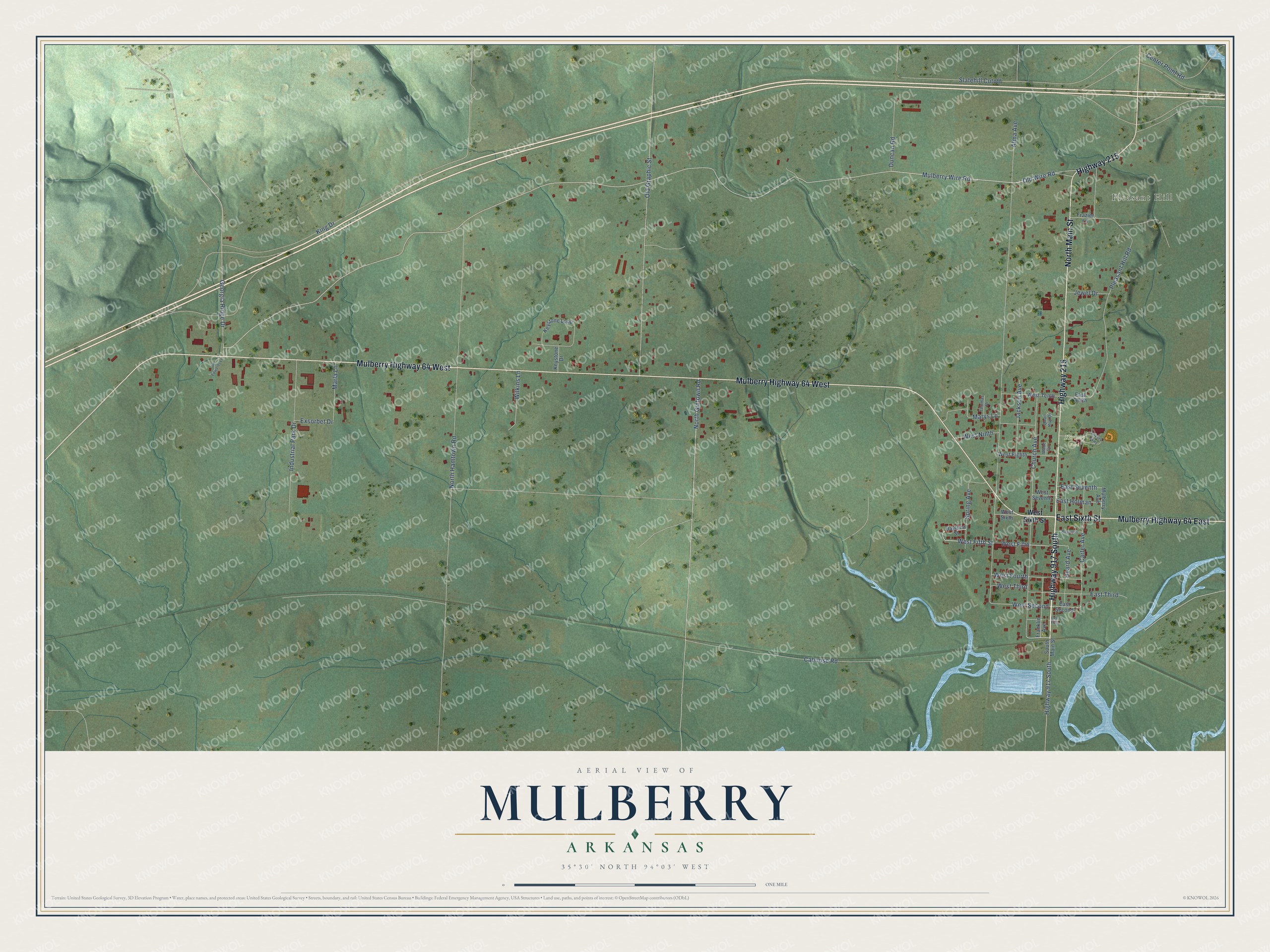
This beautifully detailed map of Mulberry, Arkansas was created in 2026 using aerial imagery combined with modern topographical, census, street and landmark data. It's a modern aerial view of Mulberry in Crawford County, Arkansas, that combines modern data with a vintage aesthetic. The roads feature printed names, and if you look closely you can find your exact house accurately shown in its correct location.
Explore an aerial view of Mulberry, Arkansas
On this map you'll find Pleasant Hill, Kirksey Park, Highway 917 South, East Sixth Street, Mulberry Highway 64 West, Highway 215, North Main Street, Mulberry Highway 64 East, West Fifth, Mulberry Wire Road, Old Wire Road, North Gintown Road, and more. Each red shape is a building, so zoom in on the preview and look for yours.
Mulberry has a story worth telling. The CALS Encyclopedia of Arkansas puts it this way: "Mulberry was located in Franklin County until 1895, when Crawford County received the township, by act of the legislature, in exchange for building a bridge over the Mulberry River. The town was incorporated in the fall of 1880, and John Hudgens was elected mayor."
Mulberry is a city in Crawford County.
Take a closer look at the Mulberry map
Names on this map
These names are printed on this map.
Places: Pleasant Hill and Kirksey Park.
Streets and roads: Highway 917 South, East Sixth Street, Mulberry Highway 64 West, Highway 215, North Main Street, Mulberry Highway 64 East, West Fifth, Mulberry Wire Road, Old Wire Road, North Gintown Road, West Second, Alma Avenue.
More street names, A to Z
Caboose Road, Carter Avenue, Center Point Road, Church Avenue, Daytona Street, Duncan Road, East First, East Holman, East Second, East Seventh, East Tenth, East Third, Exsorbet Drive, Franklin Avenue, Frazier Lane, Georgia Ridge Drive, Heard Avenue, Industrial Park Drive, Jackson Avenue, Jewel Drive, Jim Edwards Lane, Keystone Drive, Keystone Loop, King Drive, Kirksey Parkway, Marla Lane, Marys Lane, Mulberry Avenue, North Hamtown Road, Old Graphic Street, Pleasant Hill Road, Quail Run Drive, Reynolds, Slatehill Cutoff, South Main Street, Spring Avenue, Thomas Drive, Wade Circle, West Eighth, West Fifth Street, West Fourth, West Ninth, West Seventh, West Sixth, West Sixth Street, West Tenth, West Third, Wilkins Lane.
Created by KNOWOL in 2026. The buildings are small red shapes, the roads carry their printed names, and shaded relief shows the shape of the land. The title panel reads "AERIAL VIEW OF MULBERRY ARKANSAS" with 35°30' NORTH 94°03' WEST.
It looks right in a kitchen, an office or a den, and it's a gift for anyone who grew up in Mulberry or moved away. Open the preview and find your street. See sizes and frames for the Mulberry map.