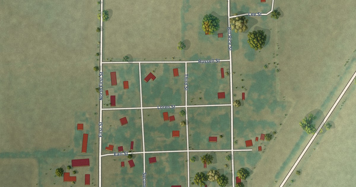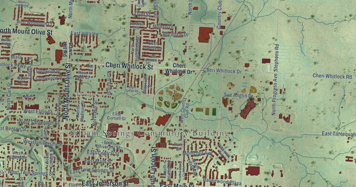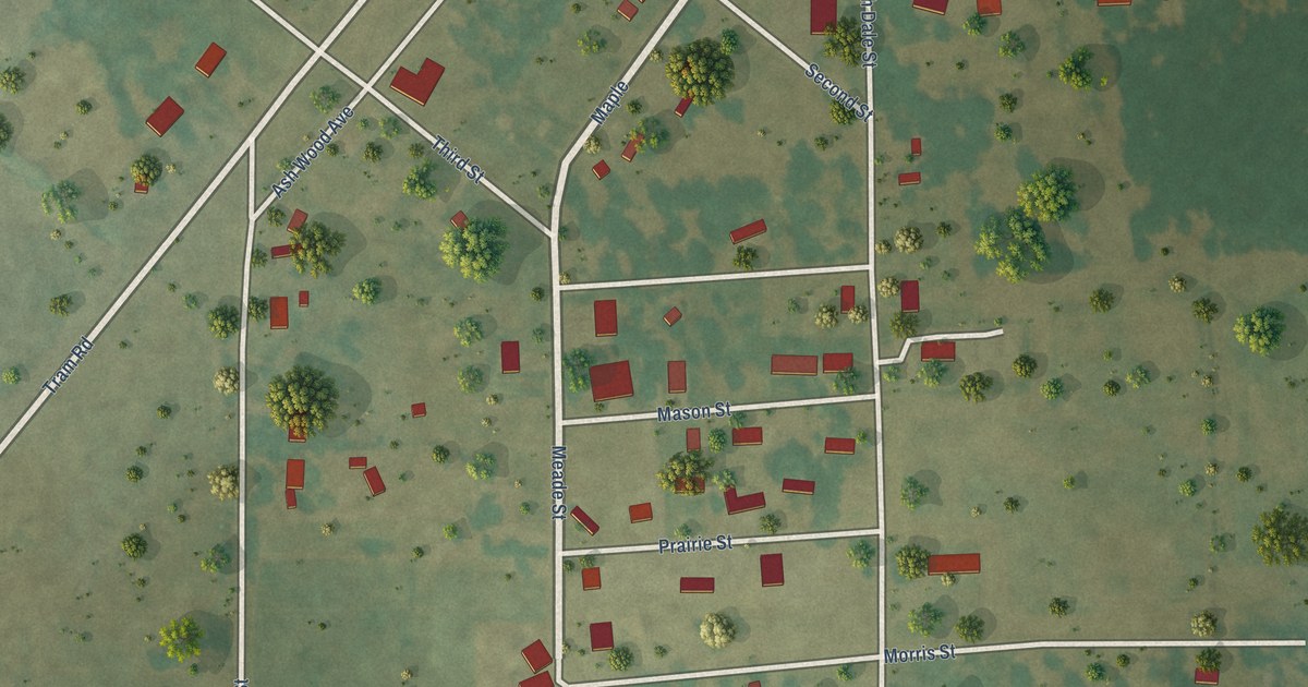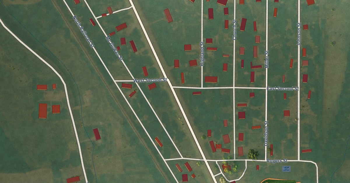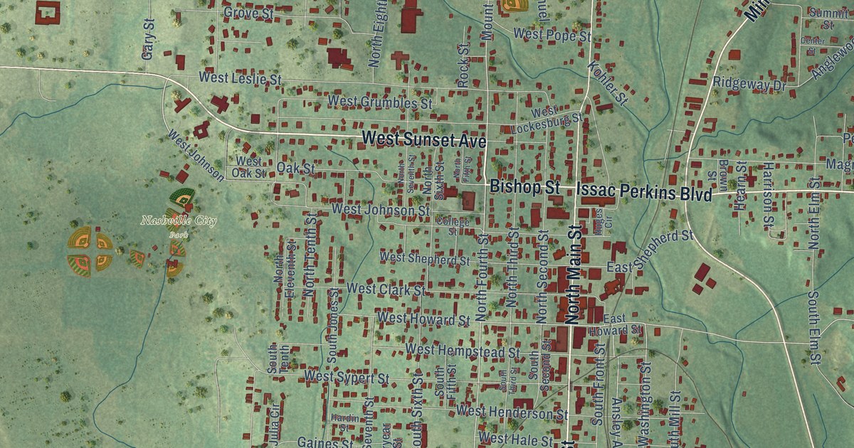
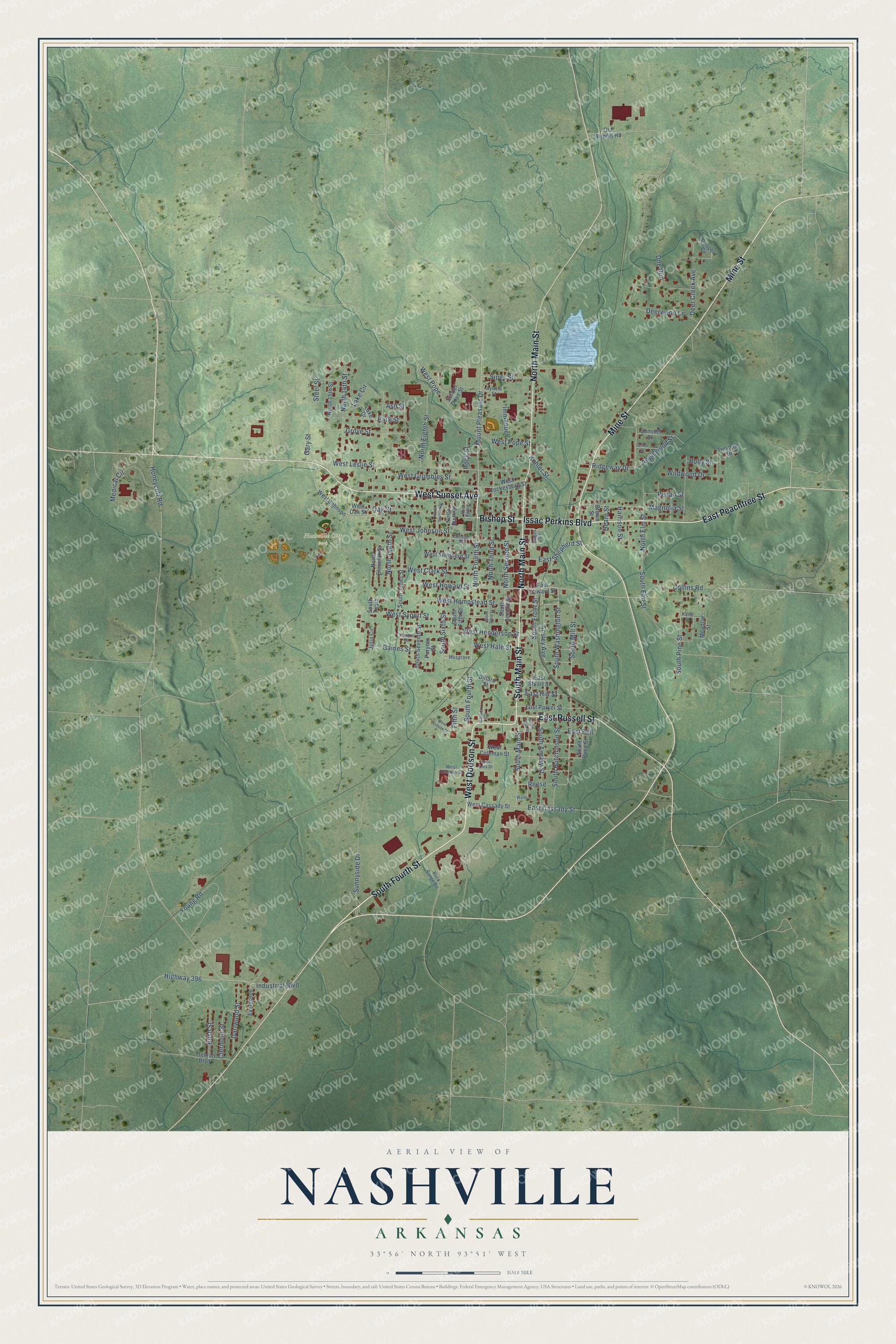
This beautifully detailed map of Nashville, Arkansas was created in 2026 using aerial imagery combined with modern topographical, census, street and landmark data. It's a modern aerial view of Nashville in Howard County, Arkansas, that combines modern data with a vintage aesthetic. The roads feature printed names, and if you look closely you can find your exact house accurately shown in its correct location.
Explore an aerial view of Nashville, Arkansas
On this map you'll find Nashville City Park, West Dodson Street, South Main Street, South Fourth Street, Issac Perkins Boulevard, Bishop Street, West Sunset Avenue, East Peachtree Street, Mine Street, North Main Street, East Russell Street, North Fourth Street, and more. Each red shape is a building, so zoom in on the preview and look for yours.
Nashville has a story worth telling. The CALS Encyclopedia of Arkansas puts it this way: "The first post office was established in 1848. In 1856, the name of the post office was changed to Nashville at the request of new resident Michael Womack, who felt that the name Hell’s Valley was inappropriate for a community consisting largely of Baptists."
Nashville is a city in Howard County.
Take a closer look at the Nashville map
Names on this map
These names are printed on this map.
Places: Nashville City Park.
Streets and roads: West Dodson Street, South Main Street, South Fourth Street, Issac Perkins Boulevard, Bishop Street, West Sunset Avenue, East Peachtree Street, Mine Street, North Main Street, East Russell Street, North Fourth Street, Mount Pleasant Drive.
More street names, A to Z
Anglewood Street, Ansley Avenue, Ash Street, Aylette Street, Brown Street, Buck Range Road, Bush Street, Carver Circle, Center Street, Clermont Street, Coco Cola Drive, College Street, Collins Road, Cooper Cv, Dartwood Street, Deer Creek Avenue, Deerwood Lane, Dillard Street, Doe Run, East Bell, East Cassady Street, East Hill Street, East Howard Street, East Parker Street, East Shepherd Street, East Stuart Street, Evergreen, Fifth Street, Gaines Street, Gary Street, Grove Street, Hardin Street, Harrison Street, Hearn Street, Highway 396, Holly Street, Honeycutt Road, Huges Circle, Immanuel, Industrial Boulevard, Julia Circle, Karle Street, Kohler Street, Lake Circle, Lake Drive, Magnolia Street, Meadow Street, Medical Circle, Musgrave, North 14th Street, North 15th Street, North Eighth Street, North Eleventh Street, North Elm Street, North Fifth Street, North Second Street, North Seventh Street, North Sixth Street, North Tenth Street, North Third Street, Oak Street, Old Airport Road, Park Street, Pecan Street, Puryear Street, Reese, Ridgeway Drive, Rock Street, School Drive Street, Sipes Street, South Ansley Street, South Elm Street, South Fifth Street, South Front Street, South Hutchinson Street, South Jones Street, South Mill Street, South Pine Street, South Pope Street, South Price Street, South Second Street, South Seventh Street, South Sixth Street, South Tenth, South Third Street, South Washington Street, Steel Street, Summit Street, Sunnyside Drive, Tinsdale Drive, Trenton Boulevard, Waite, West Cassady Street, West Clark Street, West Coleman Street, West Grumbles Street, West Hale Street, West Hempstead Street, West Henderson Street, West Howard Street, West Johnson, West Johnson Street, West Leslie Street, West Lockesburg Street, West Oak Street, West Pope, West Pope Street, West Shepherd Street, West Sypert Street, West Thomas Street, Wildwood Drive, Young Road.
Created by KNOWOL in 2026. The buildings are small red shapes, the roads carry their printed names, and shaded relief shows the shape of the land. The title panel reads "AERIAL VIEW OF NASHVILLE ARKANSAS" with 33°56' NORTH 93°51' WEST.
It looks right in a kitchen, an office or a den, and it's a gift for anyone who grew up in Nashville or moved away. Open the preview and find your street. See sizes and frames for the Nashville map.