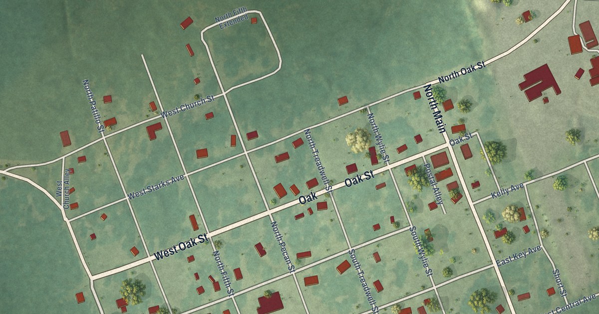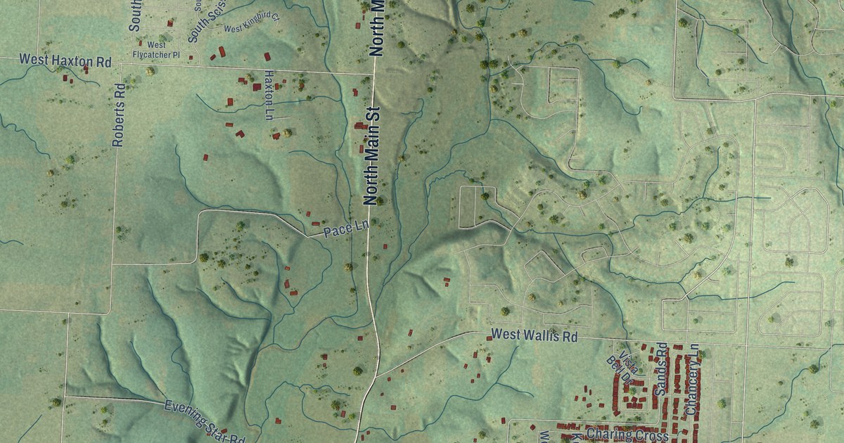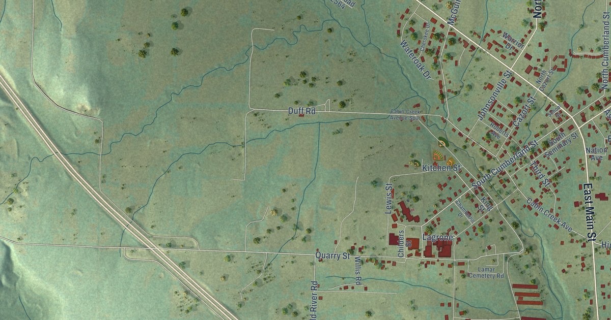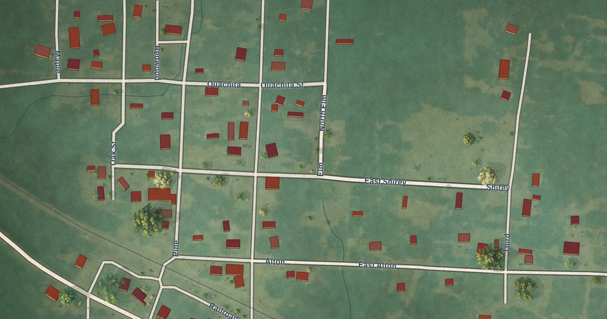
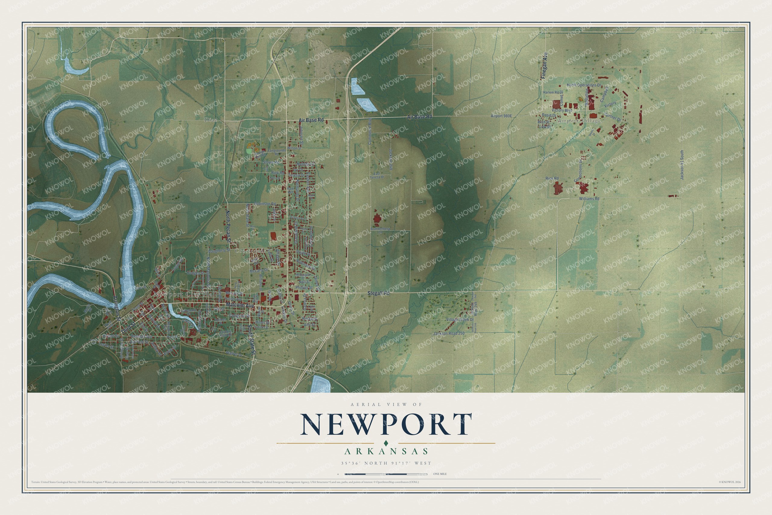
This beautifully detailed map of Newport, Arkansas was created in 2026 using aerial imagery combined with modern topographical, census, street and landmark data. It's a modern aerial view of Newport in Jackson County, Arkansas, that combines modern data with a vintage aesthetic. The roads feature printed names, and if you look closely you can find your exact house accurately shown in its correct location.
Explore an aerial view of Newport, Arkansas
On this map you'll find Newport City Hall, Airport Village, Crossroads, Diaz, Malcolm Avenue, Third Street, Air Base Road, Stegall Road, North Pecan Street, Arrington Street, South State Street, Finegan Avenue, and more. Each red shape is a building, so zoom in on the preview and look for yours.
Here is a piece of Newport history, in the words of the record. The Internet Archive puts it this way: "Louis, Iron Mountain & Southern Railroad in 1872, which passed within three miles of it, a sta- tion was made called Newport, which from the superior facil- ities offered by railroad communication drew away from Jacksonport its business and residents, until but little remained of the town, while Newport grew into a flourishing city."
Newport is a city in Jackson County.
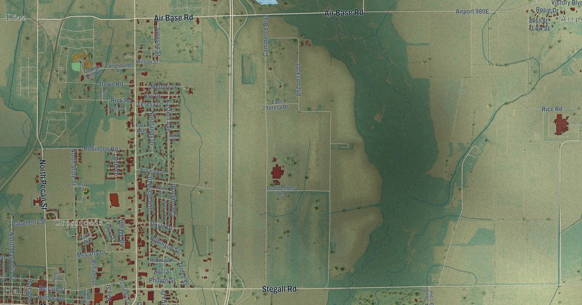
Take a closer look at the Newport map
Names on this map
These names are printed on this map.
Places: Newport City Hall, Airport Village, Crossroads and Diaz.
Streets and roads: Malcolm Avenue, Third Street, Air Base Road, Stegall Road, North Pecan Street, Arrington Street, South State Street, Finegan Avenue, Remmel Avenue, Bryant Street, Laura Street, Front Street.
More street names, A to Z
Ami Street, Ashley Drive, Beech Street, Birch Street, Brandenberg Lane, Calhoun Street, Campbell, Cherokee Drive, Clay Street, Comet Street, Commerce Boulevard, Congress Street, Corrections Drive, Country Club Road, Curtner Drive, Daugherty Street, Dewey Avenue, Dill Street, Dowell Street, Doyle Drive, Eastern Avenue, East Teresa Drive, Elm Street, Erwin Street, Eubanks Street, Fairgrounds Road, Fields Street, Fifth Street, Forrest Drive, Galeria Drive, Garfield Street, George Kell Road, Golf Club Lane, Graceland Drive, Harlem Road, Hazel Street, Henry Street, Hines Street, Hodges Street, Holden Avenue, Holmes Street, Hout Circle, Ivy Drive, Jackson 41 South, Jackson 248, Jackson 249, Jackson Road 249, Jackson Road 250, James Street, Jetta Drive, Johnson Street, Kimberly, Lakeshore Drive, Lelia Street, Lester Street, Lindley Drive, Lindley Lane, Logan Street, Low Street, Lynn Street, Main Street, Martin Road, May Street, McDougald Street, McLain Street, McLarty Drive, Medallion, Melody Lane, Mill Street, Minor Drive, Nancy Avenue, Neill Street, Newport Avenue, Normandy Drive, North Cedar Street, North Gray Street, North Magnolia Street, North Operations Drive, North State Street, Olivia Drive, Park Avenue, Park Place, Phillips Street, Plum Street, Poplar Street, Prospect Street, Ray Street, Remmel Pk, Rice Road, Rink Road, River Road, River Street, Robinson Road, Robinson Street, Rosie Drive, South Magnolia Street, Stowe Road, Sue Circle, Teresa Drive, Theatre Drive, Victory, Victory Boulevard, Village Creek Drive, Village Drive, Vine Street, Virginia Avenue, Walker Drive, Walnut Street, Warner Street, West First, Wilkerson Drive, Williams Drive, Williams Road, Wilson Street, Wishon Street.
Created by KNOWOL in 2026. The buildings are small red shapes, the roads carry their printed names, and shaded relief shows the shape of the land. The title panel reads "AERIAL VIEW OF NEWPORT ARKANSAS" with 35°36' NORTH 91°17' WEST.
It suits a den, a classroom or a front hall, and it makes a gift for anyone with Newport roots. Open the preview and find the block you know. See sizes and frames for the Newport map.