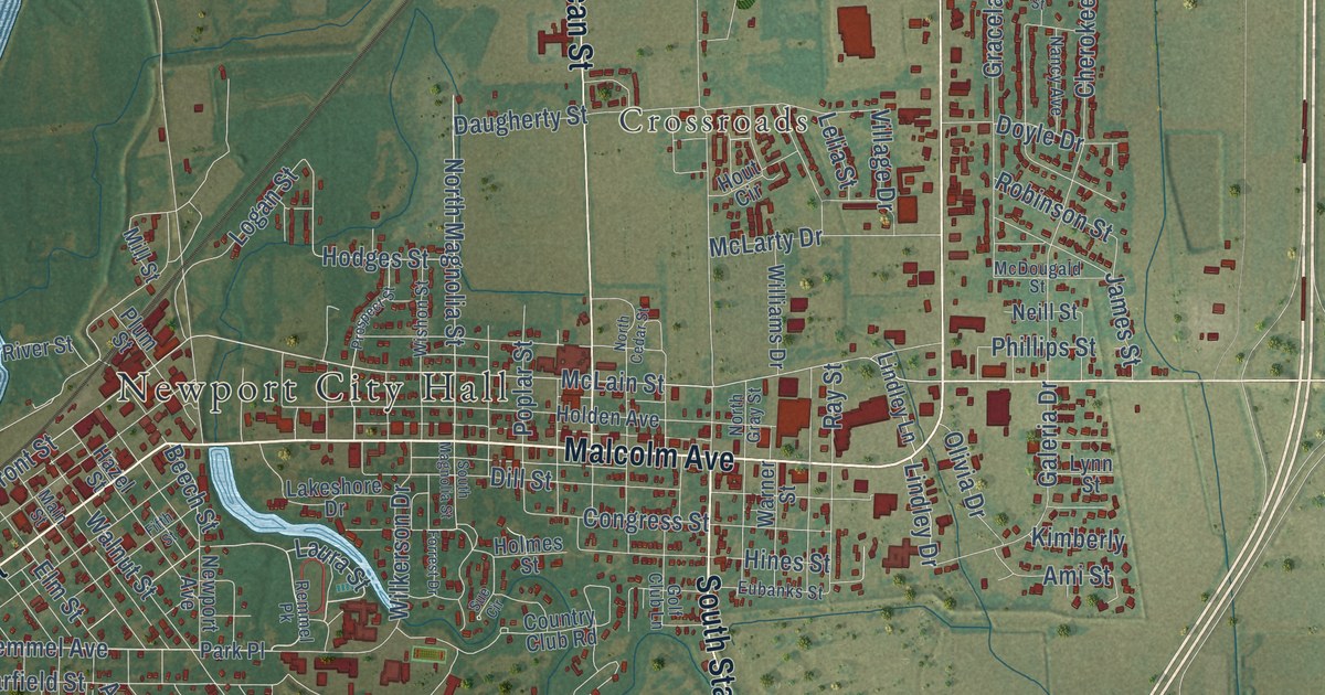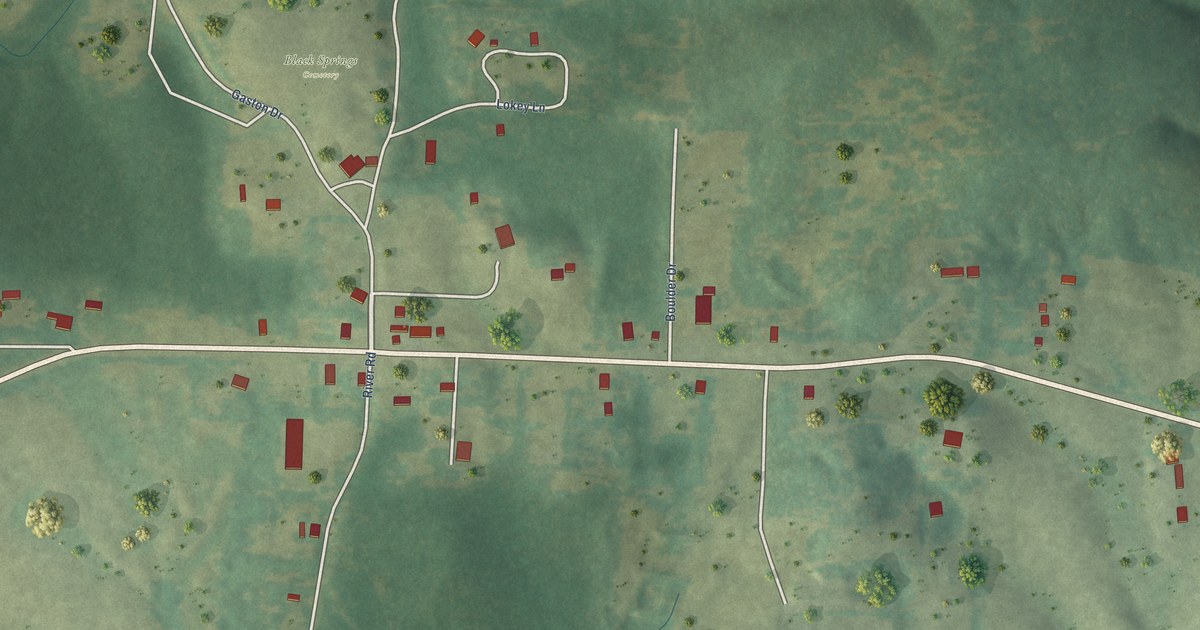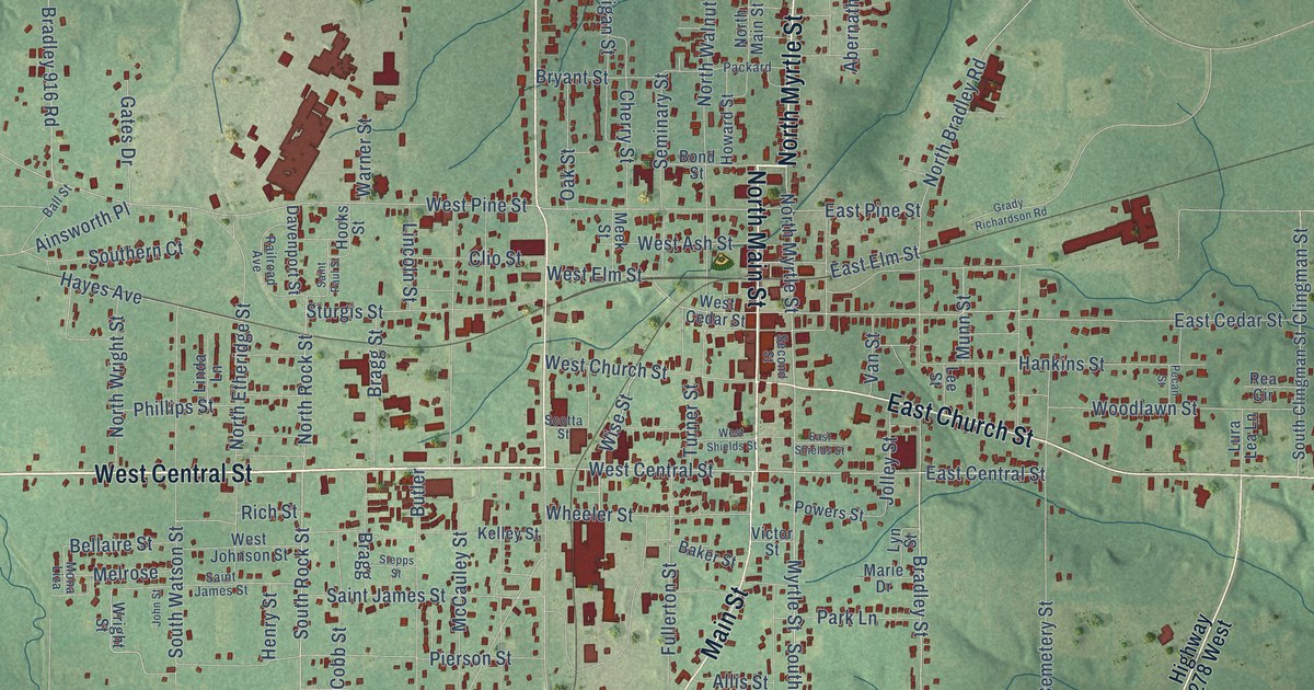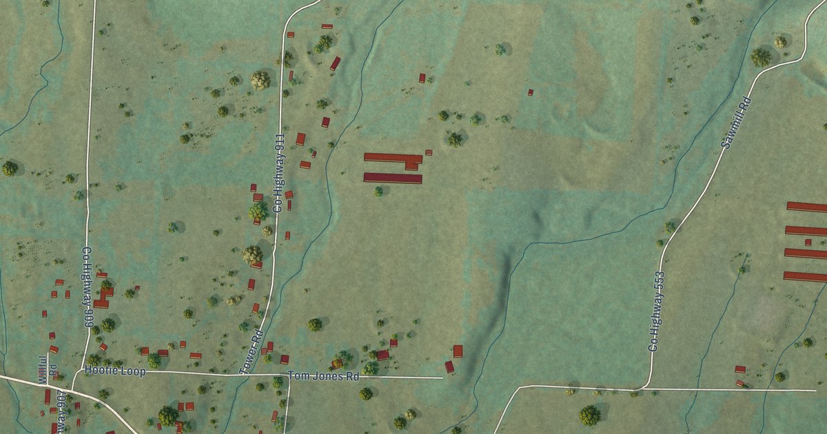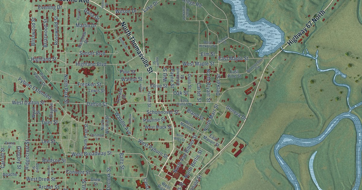
This beautifully detailed map of Pocahontas, Arkansas was created in 2026 using aerial imagery combined with modern topographical, census, street and landmark data. It’s a one-of-a-kind view of Pocahontas that combines accurate data with a vintage aesthetic. The map shows every building in its true location, many of the roads carry their names, and the shaded topographic relief shows the shape of the land.
Explore an aerial view of Pocahontas, Arkansas
On the map you’ll find East Pocahontas, along with North Thomasville Avenue, North Thomasville Street, Thomasville Street, Highway 67 South, Highway 67 North, Mansker Drive, West Broadway Street, South Bettis Street, North Park Street, Pine Street, Decker Street, and more. If you look closely you can even find your house accurately drawn in its correct location. Zoom in on the preview to look for yours.
Did you know this piece of Pocahontas, Arkansas history?
From the Encyclopedia of Arkansas: "The earliest documented settler was Ransom S. Bettis, who arrived from Greenville, Missouri, and built a house overlooking Black River; from 1815 to 1835, the settlement was known as Bettis Bluff."
Pocahontas is a city in Randolph County.
Take a closer look at the Pocahontas map
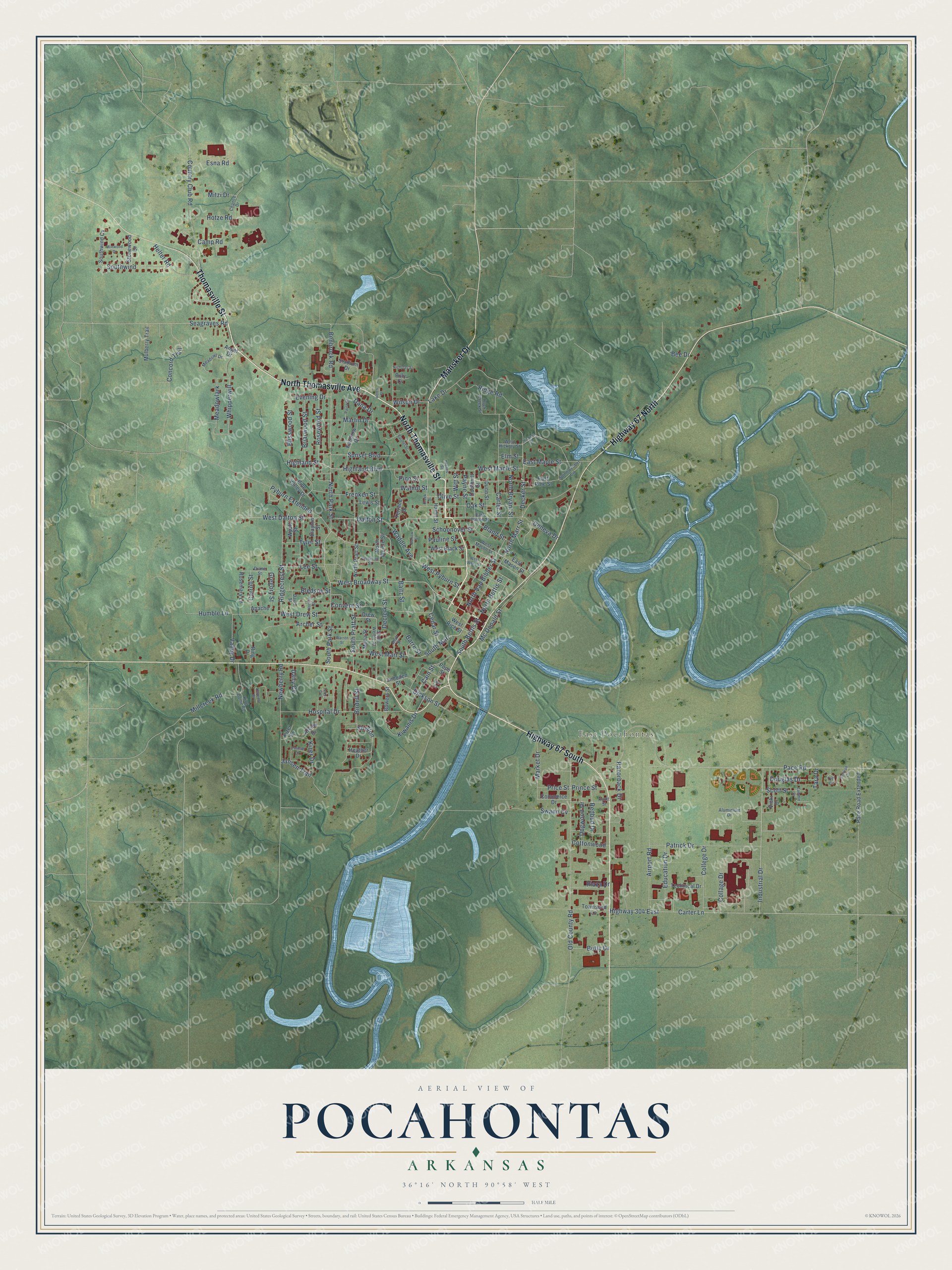
Street and place names on the Pocahontas, Arkansas map
These names are printed on the map of Pocahontas, Arkansas.
Places: East Pocahontas.
Streets and roads: North Thomasville Avenue, North Thomasville Street, Thomasville Street, Highway 67 South, Highway 67 North, Mansker Drive, West Broadway Street, South Bettis Street, North Park Street, Pine Street, Decker Street, Seagraves Road.
More street names, A to Z
Airport Road, Aluminium Drive, Angel Drive, Apache, Archer Street, Atkins Drive, Baltz Street, Barre Street, Barthel Street, Bee Drive, Benbrock Road, Betty Drive, Billy Cv, Birdell Street, Bland Street, Bledsoe Street, Blisswood Street, Bluff Street, Bowers Street, Briarwood Street, Burrow Street, Cain Street, Camp Road, Carroll Street, Carter Lane, Carter Street, Cedar Street, Chance Drive, Clayton Street, Collage Drive, College Drive, Commerce Drive, Concord Trail, Convent Street, Cottonwood, Country Club Road, Creek Street, Crismon Street, Dairy Cv, Dalton Street, Dana Drive, Davis Street, Declerk Street, Diane Street, Dickson Street, Dogwood Drive, Douglas Drive, Douthnitt Street, Drew Street, Dunn Street, East Dalton Street, East Maple Street, East Mason Street, East Pine Street, Education Drive, Elm Street, Emma Drive, Esna Road, Evening Drive, Frenken Street, Geneva Drive, Gregory Street, Hamil Street, Haynes Street, Heather Drive, Helen Street, Helter Road, Hickory Street, Highland Boulevard, Highland Street, Highway 304 East, Hillcrest Drive, Hooton Street, Hospital Drive, Hotze Road, Humble Lane, Imboden Street, Industrial Drive, Jansen Trail, King Dome Road, Kiwanis Drive, Kizer Cv, Kizer Drive, Knott Street, Lake Drive, Lee Street, Lewis Street, Market Drive, Martin Drive, Mc Donald Street, Meadowlark, Meadowl Drive, Millcreek Road, Mitzi Drive, Mona Street, Mulberry Trail, Newberry Road, Nicholas Street, North Bettis Street, North Bryant Street, North Marr Street, North Pratt Street, North Van Bibber Street, North Weible Street, Oak Street, Old County Road, Olive Street, Pace Road, Pace Road Extended, Patrick Drive, Paula Street, Pauline Street, Payne Street, Pine Valley Drive, Plaza Drive, Pope Street, Price Street, Prince Street, Pyburn Extended, Rainbow Drive, Razorback Drive, Redbud Drive, Ridgecrest Street, Ridge Road, Ring Drive, Rock Creek Street, Rosemary Lane, Rosewood Street, Schoonover Street, Scott Street, Shelton, South Marr, South Park Street, South Pratt Street, South Weible Street, Southwind, Southwind Cv, Spinnwebber Circle, Stadium Drive, Starr Street, Stonewood Drive, Sullivan Circle, Sunset Boulevard, Swann Cv, Tammie Drive, Tara Drive, Technical Drive, Terrace Drive, Terry Cv, Townsend Lane, Tyer Circle, Tyler Street, Valley Drive, Vicki Drive, Waddle Avenue, Walnut Street, Warren Street, West Black Street, West Dalton Street, West Drew Street, West Hickory Street, West Maple Street, West Marr Street, West Mason Street, West Pyburn Street, West Rice Street, West Wiley Street, Whipperwill, Wilson Drive, Winwood Drive, Witt Street, Wyatt Street.
See the Pocahontas, Arkansas map on a wall
The Pocahontas map as an 18 x 24 inch print in a black frame.

This beautifully detailed map of Pocahontas makes an attractive addition to your office, library, or den, and it can even be used to teach children the geography and history of the area. It also makes a great gift for someone who left Pocahontas and still calls it home. When you’re done exploring, click here to get your copy of the Pocahontas map.