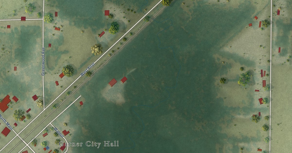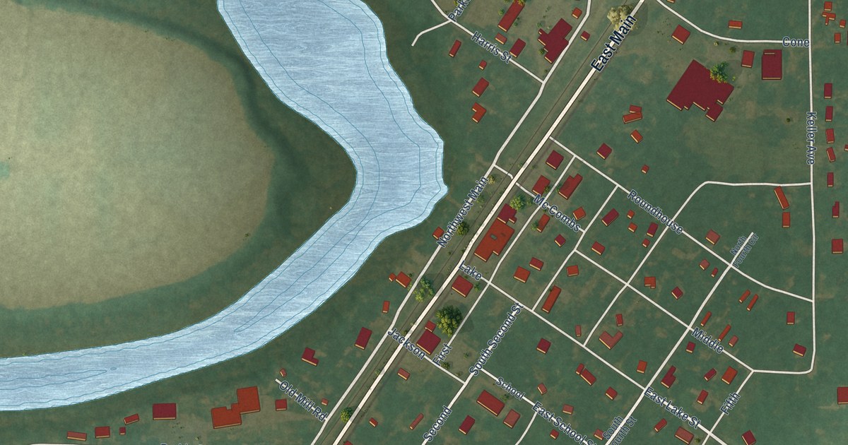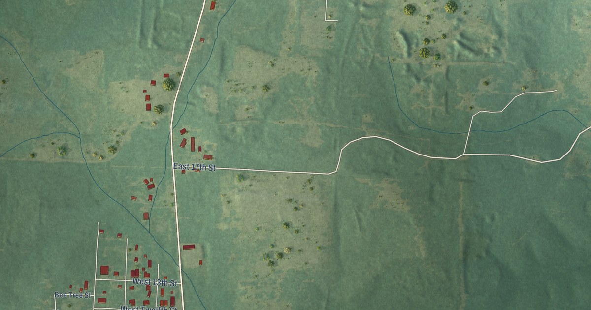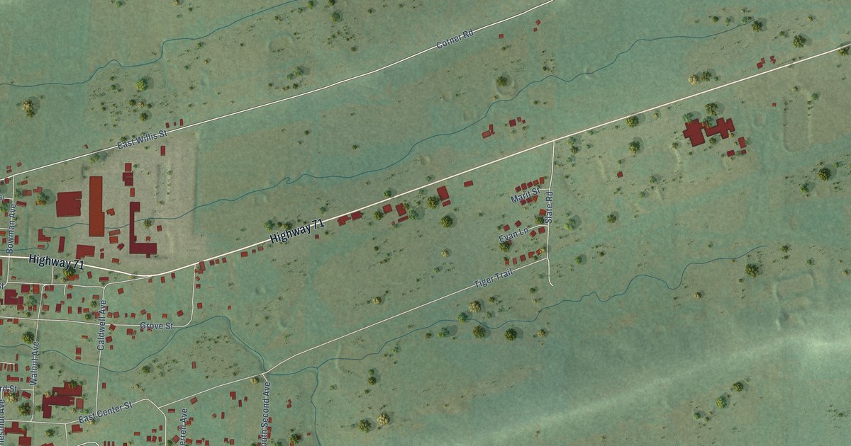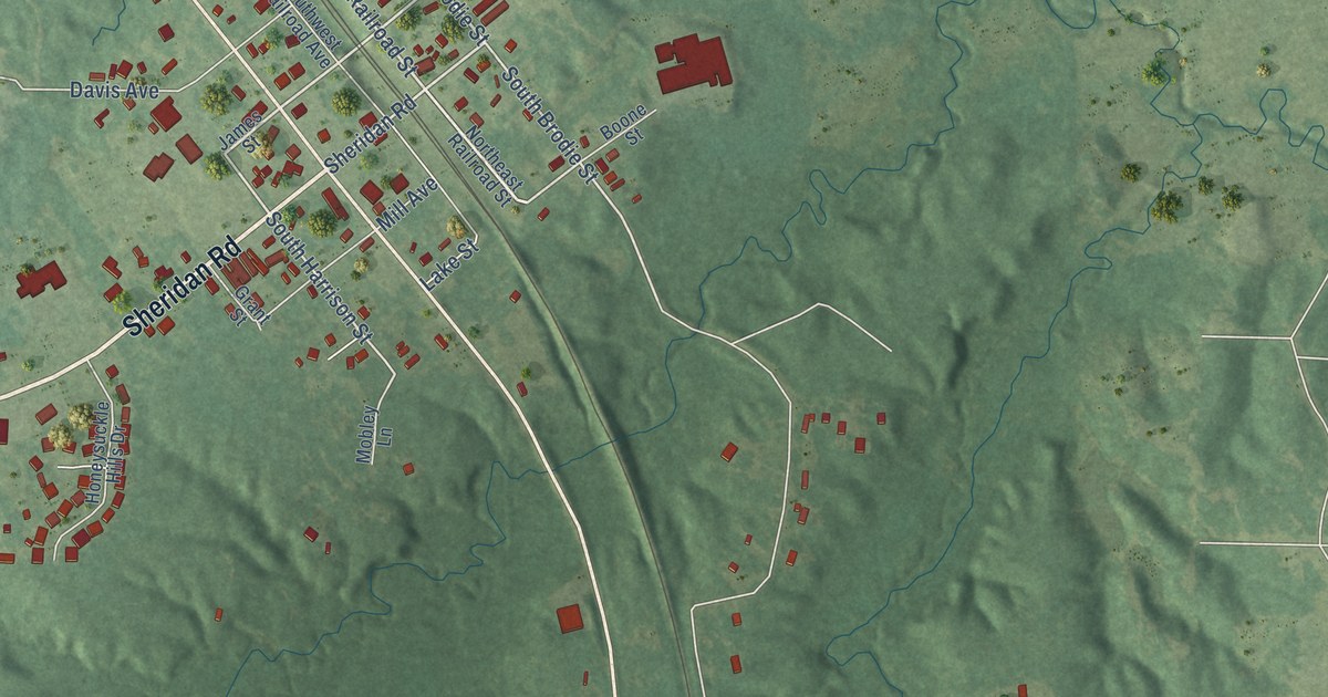
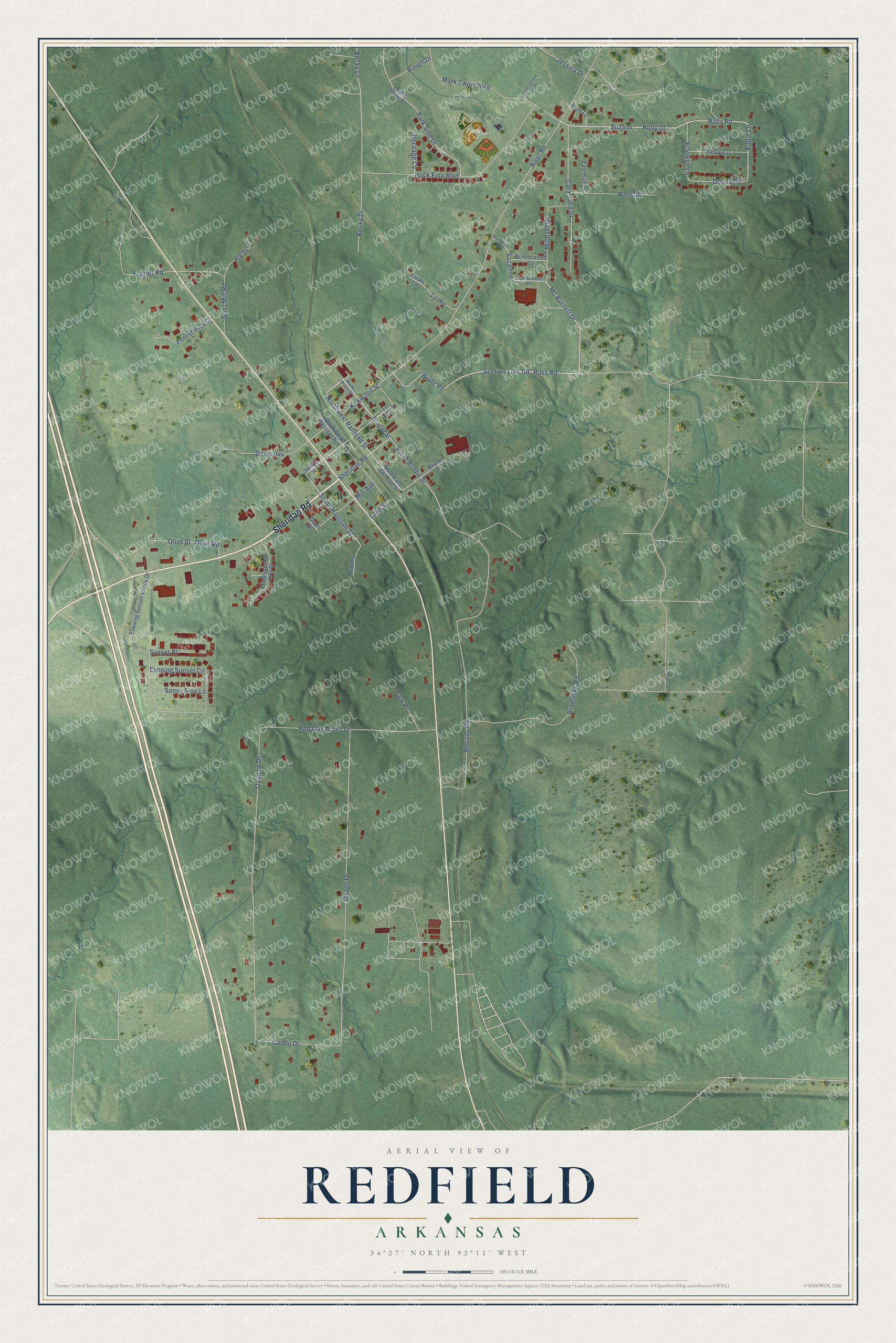
This beautifully detailed map of Redfield, Arkansas was created in 2026 using aerial imagery combined with modern topographical, census, street and landmark data. It's a modern aerial view of Redfield in Jefferson County, Arkansas, that combines modern data with a vintage aesthetic. The roads feature printed names, and if you look closely you can find your exact house accurately shown in its correct location.
Explore an aerial view of Redfield, Arkansas
On this map you'll find Redfield City Park, Sheridan Road, Brodie Street, Northwest Railroad Street, Mc Burnett Drive, Bass Road, Section Line Road, Wolfe Road, South Brodie Street, Eddie Lane, Ruby Drive, South Harrison Street, and more. Each red shape is a building, so zoom in on the preview and look for yours.
Here is a piece of Redfield history, in the words of the record. The Encyclopedia of Arkansas puts it this way: "In August 1880, Brodie sold a 300-foot right-of-way through his land to the railroad and immediately hired John Martin, the Jefferson County surveyor, to plat a city on his land. The city was named Redfield for Jared E. Redfield, who was president of the railroad from 1875 to 1881."
Redfield is a city in Jefferson County.
Take a closer look at the Redfield map
Names on this map
These names are printed on this map.
Places: Redfield City Park.
Streets and roads: Sheridan Road, Brodie Street, Northwest Railroad Street, Mc Burnett Drive, Bass Road, Section Line Road, Wolfe Road, South Brodie Street, Eddie Lane, Ruby Drive, South Harrison Street, Kirkwood Street.
More street names, A to Z
Baugh Drive, Becky Drive, Becky Lane, Boone Street, Bradshaw Road, Caddo Drive, Cara Jane Drive, Cunningham Boulevard, Davis Avenue, Donna Drive, East Jones Street, Eastman Drive, Evening Sunset Circle, Evening Sunset Valley Drive, Forest Hills Drive, Franklin Lane, Frazier Road, Grant Street, Grist Mill Road, Heritage Cv, Honeysuckle Hills Drive, Huck Finn Boulevard, James Street, Jessica Drive, Kelly Court, Lake Shore Drive, Lake Street, Locke, Locke Lane, Mark Twain Boulevard, Michael Drive, Mill Avenue, Mobley Lane, North Brodie Street, Northeast Railroad Street, Olive Road, Olive Street, Osage Drive, Park Place, Park Side Drive, Ply Drive, Quapaw Drive, Red Oak Acres Drive, Rhoads Road, River Road, Ruby Lane, Ruby Road, Schoolwood Cv, Schoolwood Drive, Southwest Railroad Avenue, Sunny Side Lane, Sunset Place, Suzann, Suzanne, Suzanne Drive, Wells Drive.
Created by KNOWOL in 2026. The buildings are small red shapes, the roads carry their printed names, and shaded relief shows the shape of the land. The title panel reads "AERIAL VIEW OF REDFIELD ARKANSAS" with 34°27' NORTH 92°11' WEST.
It suits a den, a classroom or a front hall, and it makes a gift for anyone with Redfield roots. Open the preview and find the block you know. See sizes and frames for the Redfield map.